Carr Wood
Wood, Forest in Derbyshire Derbyshire Dales
England
Carr Wood
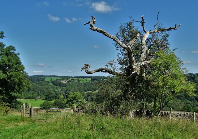
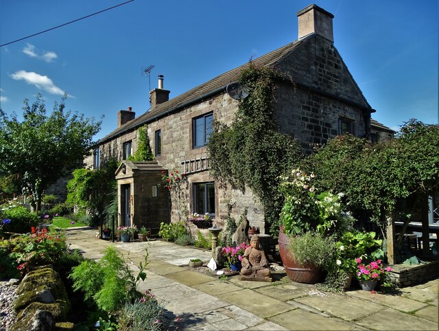
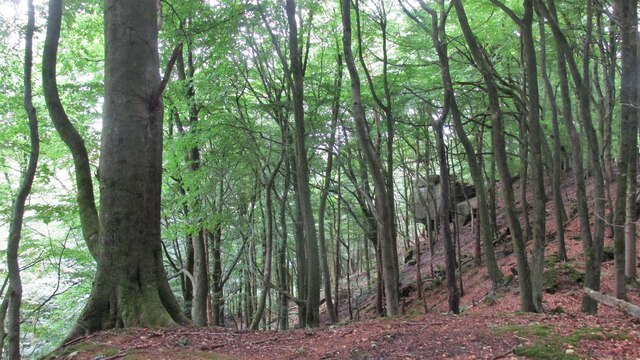
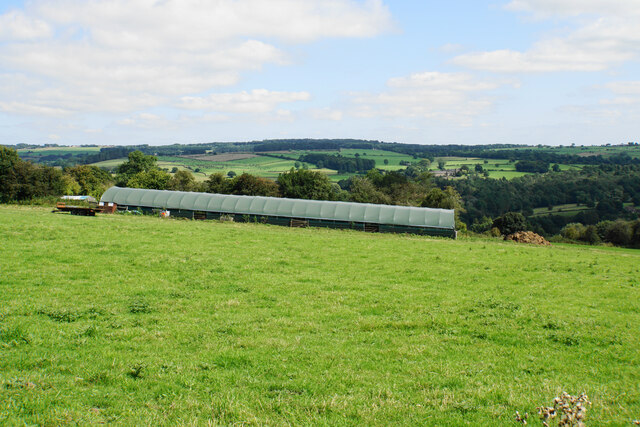
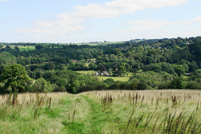
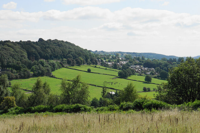
Carr Wood is a beautiful forest located in Derbyshire, England. It covers an area of approximately 100 hectares and is famous for its stunning natural beauty and diverse ecosystem. The wood is situated near the small village of Carr, which is nestled in the picturesque Derbyshire countryside.
Carr Wood is primarily composed of deciduous trees, including oak, beech, and ash, which create a dense canopy and provide a habitat for a wide variety of wildlife. The forest floor is carpeted with a rich undergrowth of bluebells, wild garlic, and ferns, adding to the enchanting atmosphere of the woodland.
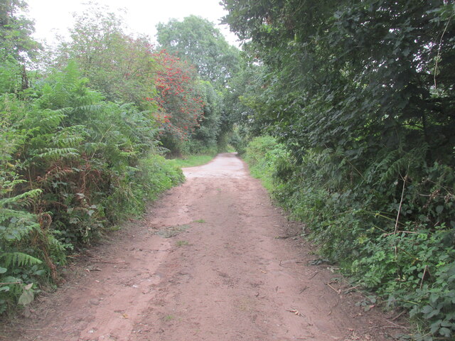
The wood is a popular destination for nature enthusiasts and hikers, offering numerous walking trails that allow visitors to explore its hidden treasures. These trails wind their way through the forest, offering glimpses of babbling brooks, small ponds, and ancient ruins. The wood also boasts a variety of bird species, making it a haven for birdwatchers.
Carr Wood is managed by the local authorities, who strive to preserve its natural beauty and protect the delicate ecosystem. As such, visitors are encouraged to adhere to the guidelines set out by the management, including not disturbing the wildlife or damaging the flora.
Overall, Carr Wood is a remarkable natural gem in Derbyshire, offering visitors a chance to immerse themselves in the tranquility of nature. Whether it's a leisurely stroll or a more adventurous hike, this forest is sure to captivate anyone who visits.
If you have any feedback on the listing, please let us know in the comments section below.
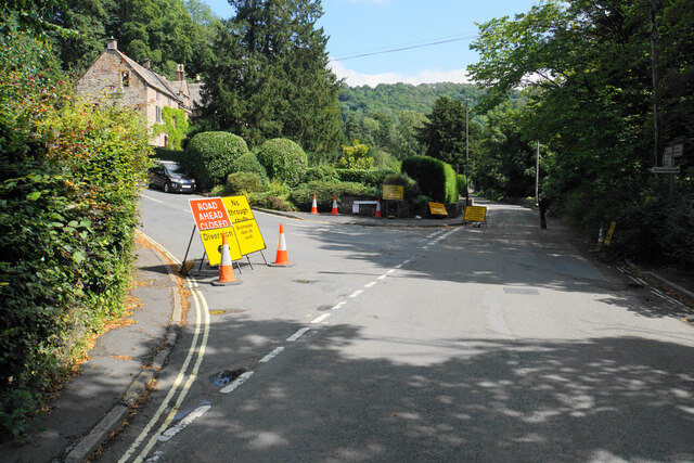
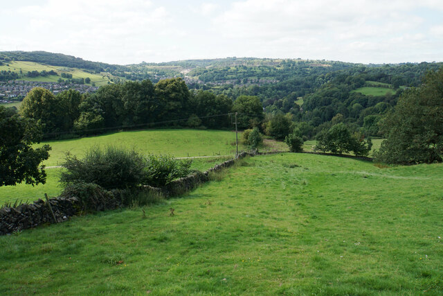
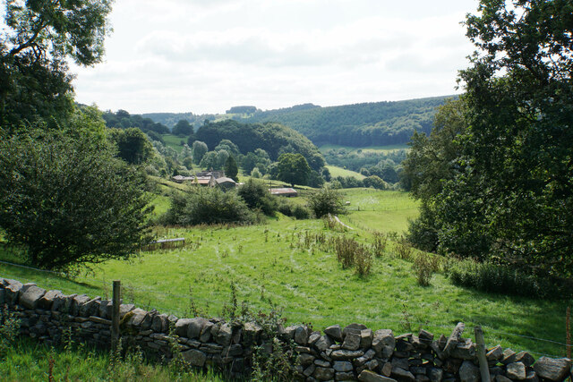
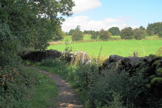
Carr Wood Images
Images are sourced within 2km of 53.104821/-1.5488881 or Grid Reference SK3056. Thanks to Geograph Open Source API. All images are credited.


Carr Wood is located at Grid Ref: SK3056 (Lat: 53.104821, Lng: -1.5488881)
Administrative County: Derbyshire
District: Derbyshire Dales
Police Authority: Derbyshire
What 3 Words
///infects.staining.itself. Near Cromford, Derbyshire
Nearby Locations
Related Wikis

Cromford Wharf
Cromford Wharf is at Cromford in Derbyshire, England. It is located at the northern terminus of the Cromford Canal, which opened in 1794 and ran 14.5 miles...
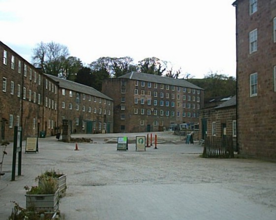
Cromford Mill
Cromford Mill is the world's first water-powered cotton spinning mill, developed by Richard Arkwright in 1771 in Cromford, Derbyshire, England. The mill...
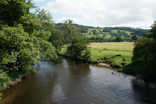
Derwent Valley Heritage Way
The Derwent Valley Heritage Way (DVHW) is a 55 miles (89 km) waymarked footpath along the Derwent Valley through the Peak District (as far as Rowsley)...

Cromford War Memorial
Cromford War Memorial is a 20th-century grade II listed war memorial in Cromford, Derbyshire. == Description == The war memorial stands in a Garden of...
Cromford
Cromford () is a village and civil parish in Derbyshire, England, in the valley of the River Derwent between Wirksworth and Matlock. It is 17 miles (27...

Cromford railway station
Cromford railway station is a Grade II listed railway station owned by Network Rail and managed by East Midlands Railway. It is located in the village...
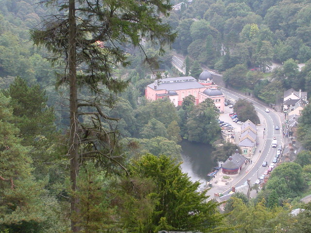
Matlock Bath
Matlock Bath is a village and civil parish in Derbyshire, England. It lies in the Derbyshire Dales, south of Matlock on the main A6 road, and approximately...
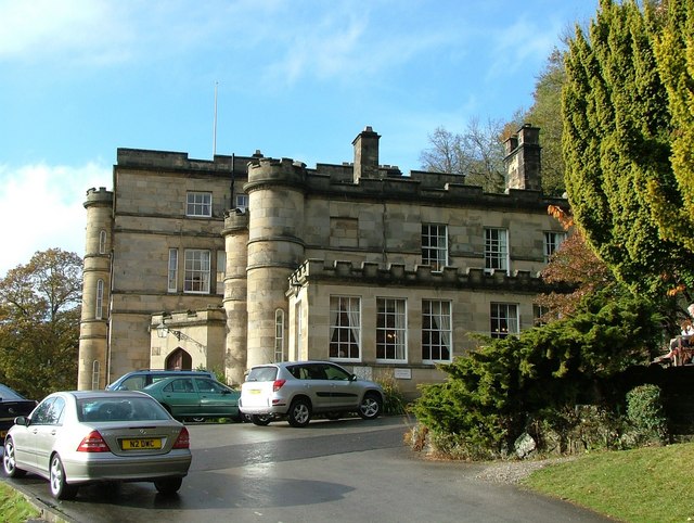
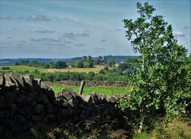
Willersley Castle
Willersley Castle is a late 18th-century country mansion above the River Derwent at Cromford, Derbyshire, outside Peak District National Park. The castle...
Nearby Amenities
Located within 500m of 53.104821,-1.5488881Have you been to Carr Wood?
Leave your review of Carr Wood below (or comments, questions and feedback).