Acresford Plantation
Wood, Forest in Leicestershire North West Leicestershire
England
Acresford Plantation
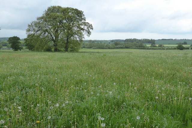
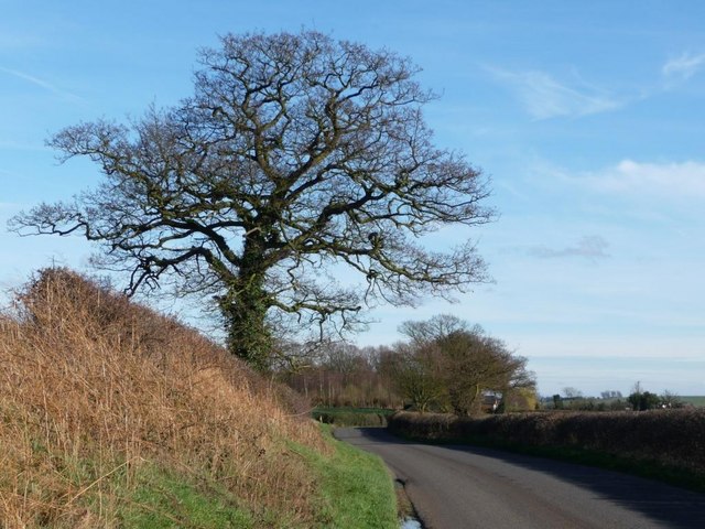
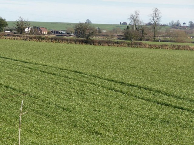
Acresford Plantation is a scenic woodland area located in Leicestershire, England. Covering an expansive area of land, it is known for its lush greenery, diverse wildlife, and tranquil atmosphere. The plantation is situated near the village of Acresford, which is nestled in the heart of the National Forest.
The woodland at Acresford Plantation is predominantly composed of native broadleaf trees, such as oak, beech, and ash. These trees provide a rich habitat for numerous species of birds, insects, and mammals, making it a popular spot for nature enthusiasts and birdwatchers. Walking through the plantation, visitors can enjoy the peaceful sounds of birdsong and the rustling of leaves underfoot.
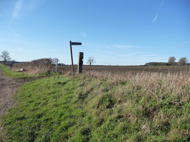
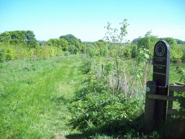
In addition to its natural beauty, Acresford Plantation also boasts a network of well-maintained footpaths and trails. These paths offer visitors the opportunity to explore the woodland at their own pace, discovering hidden corners and enjoying scenic views along the way. The plantation is also home to a number of picnic areas, where visitors can relax and take in the surroundings.
Acresford Plantation is managed by the National Forest Company, which works to protect and enhance the woodland for future generations. They actively engage in sustainable forestry practices, ensuring the long-term health and biodiversity of the area.
Overall, Acresford Plantation is a haven for those seeking solace in nature. Whether it's a leisurely stroll, a picnic with loved ones, or a chance to observe wildlife, this woodland offers a peaceful retreat from the hustle and bustle of everyday life.
If you have any feedback on the listing, please let us know in the comments section below.
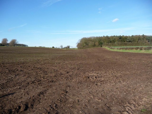
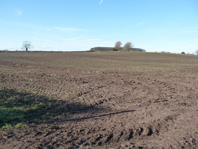
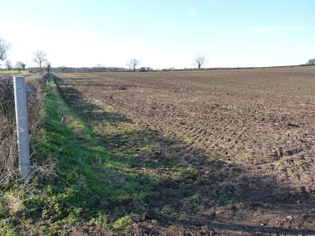
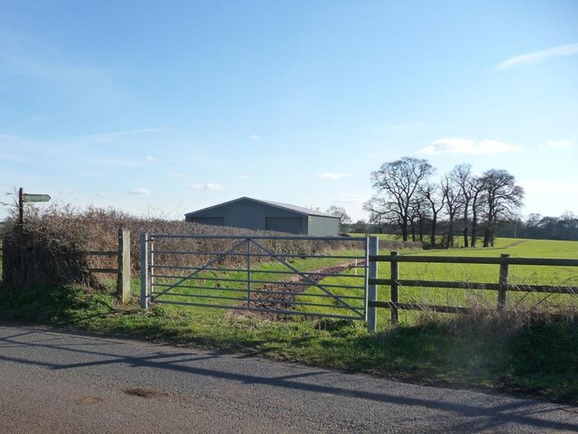
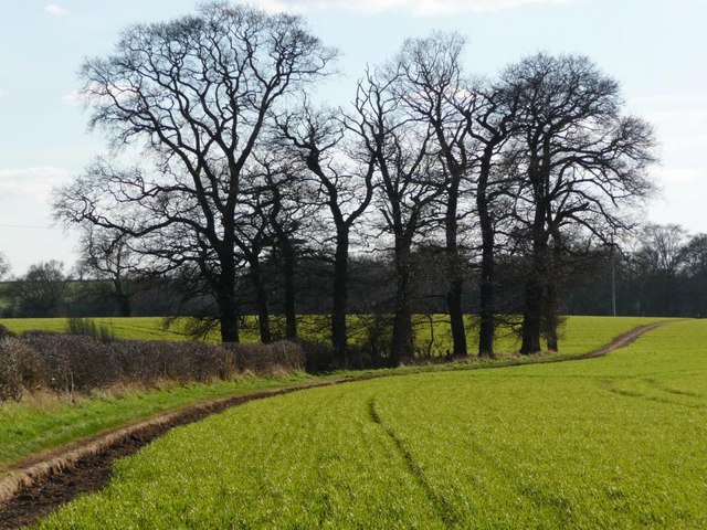
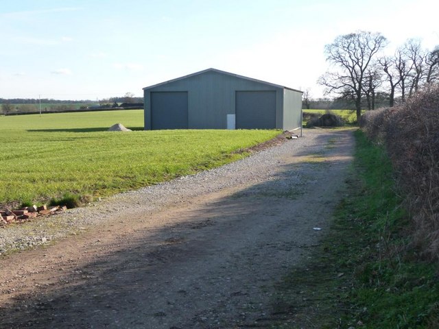
Acresford Plantation Images
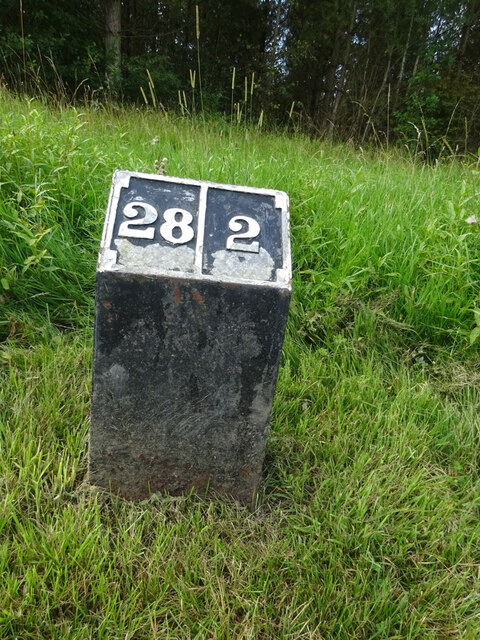
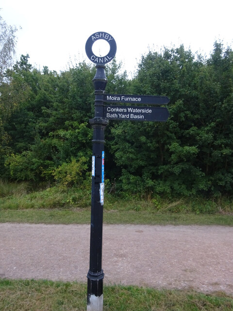
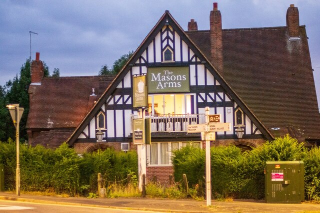
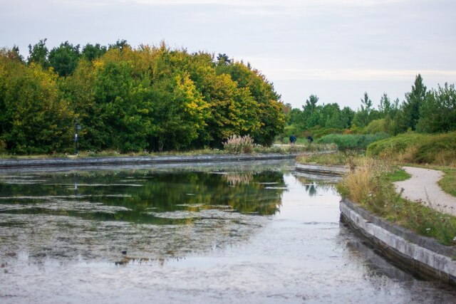
Images are sourced within 2km of 52.717661/-1.5543707 or Grid Reference SK3013. Thanks to Geograph Open Source API. All images are credited.
Acresford Plantation is located at Grid Ref: SK3013 (Lat: 52.717661, Lng: -1.5543707)
Administrative County: Leicestershire
District: North West Leicestershire
Police Authority: Leicestershire
What 3 Words
///irritate.belt.parent. Near Donisthorpe, Leicestershire
Related Wikis

Acresford
Acresford is a hamlet in North West Leicestershire, it shares civil parish authorities with Donisthorpe and Oakthorpe and forms part of the border with...

Donisthorpe
Donisthorpe is a village in the North West Leicestershire district of Leicestershire, England, historically an exclave of Derbyshire. == History == In...

Short Heath, Derbyshire
Short Heath is a hamlet near Overseal, in South Derbyshire. It is on the border with Leicestershire and has a sign where it claims to be the centre of...
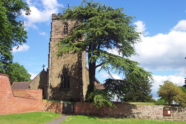
St Peter's Church, Netherseal
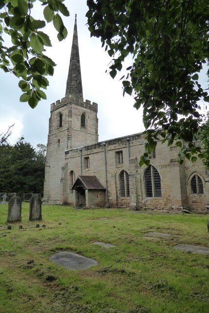
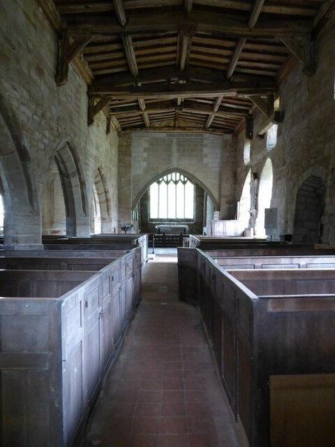
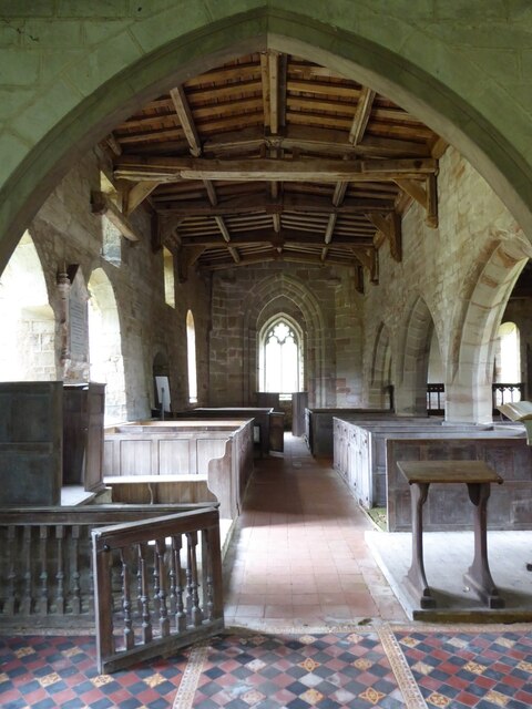
St Peter's Church, Netherseal is a Grade II* listed parish church in the Church of England in Netherseal, Derbyshire. == History == The church dates from...
Related Videos

Family Camping
In this video I take my mum and dog Bella camping to Conkers Camping and Caravanning Club. To be fair my mum had seen ...

December Camping 2022
In this video I try out my new Naturehike Opalus 3 tent at the Conkers camping and caravanning club site.

Our First Camping Trip
In this video my Girlfriend and I visit the Conkers Camping and Caravanning Club for one night. We've not been dating long so ...

Conkers Camping and Caravan Park 🚐⛺
Walks and Cycling routes at Conkers.
Nearby Amenities
Located within 500m of 52.717661,-1.5543707Have you been to Acresford Plantation?
Leave your review of Acresford Plantation below (or comments, questions and feedback).