Stanleigh Plantation

Wood, Forest in Leicestershire North West Leicestershire

England

Stanleigh Plantation

Restored Milestone, Ashby Canal A modern representation of the mile peg that would have existed. This section of the canal has been restored and partly modified and truncated (by a mile) . It would have served the collieries in Donisthorpe & Moira. The mileage represents the original end to the canal - see <a href="https://www.geograph.org.uk/photo/343576">SK3114 : Wrong!</a>.

Inscription: 28 / 2

Milestone Society National ID: ASH-28
Restored Milestone, Ashby Canal Credit: Mr Red

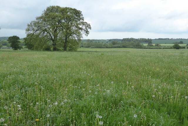
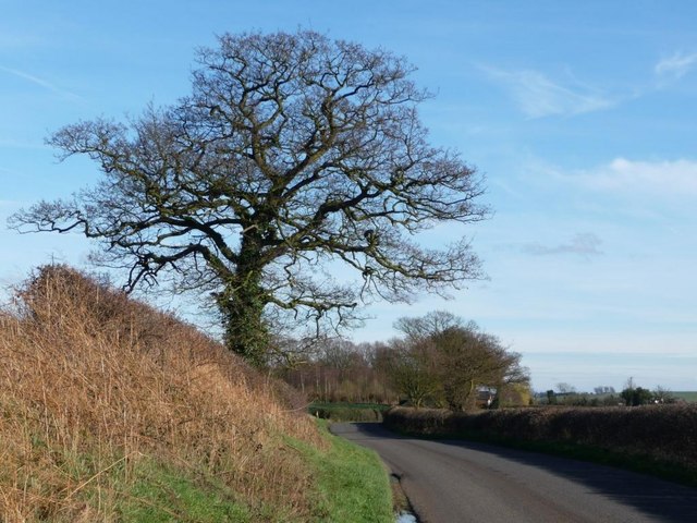
Stanleigh Plantation is a picturesque woodland area located in Leicestershire, England. Spanning over a vast expanse, it is renowned for its captivating beauty and rich biodiversity. The plantation is nestled within the heart of the county, surrounded by rolling hills and scenic landscapes.

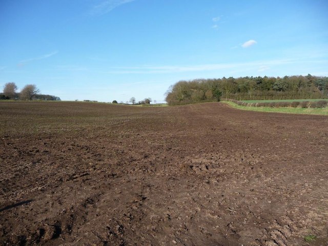
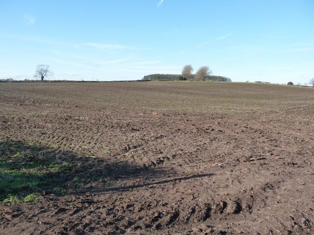
Covering a diverse range of habitats, Stanleigh Plantation is primarily composed of woodlands and forests. The lush greenery consists of a variety of native tree species, including oak, birch, and beech, which create a dense canopy overhead. The forest floor is adorned with a carpet of wildflowers, adding bursts of color to the surroundings.

The plantation serves as an important refuge for numerous wildlife species. It is home to a plethora of birds, such as woodpeckers, owls, and warblers, which fill the air with their melodious songs. Small mammals, including rabbits, squirrels, and foxes, can also be spotted scurrying amidst the underbrush.

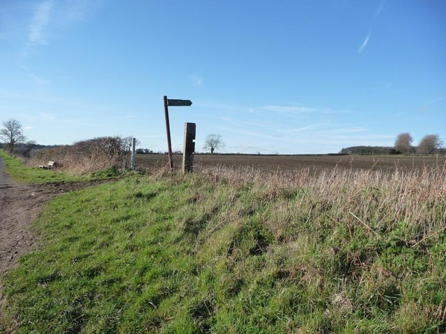
Visitors to Stanleigh Plantation can immerse themselves in the tranquil ambiance and explore a network of well-maintained footpaths. These trails wind through the woodland, offering breathtaking views and opportunities for wildlife spotting. The plantation is a popular destination for nature enthusiasts, hikers, and photographers seeking to capture the beauty of the natural world.

The management of Stanleigh Plantation is dedicated to preserving its ecological integrity. Conservation efforts are in place to protect the diverse ecosystem and maintain its natural balance. Regular maintenance, such as tree planting and removal of invasive species, ensures the health and vitality of the woodland.

Overall, Stanleigh Plantation in Leicestershire is a captivating destination that provides a serene escape into nature. Its lush forests, diverse wildlife, and well-preserved trails make it a must-visit for anyone seeking solace in the beauty of the outdoors.

If you have any feedback on the listing, please let us know in the comments section below.

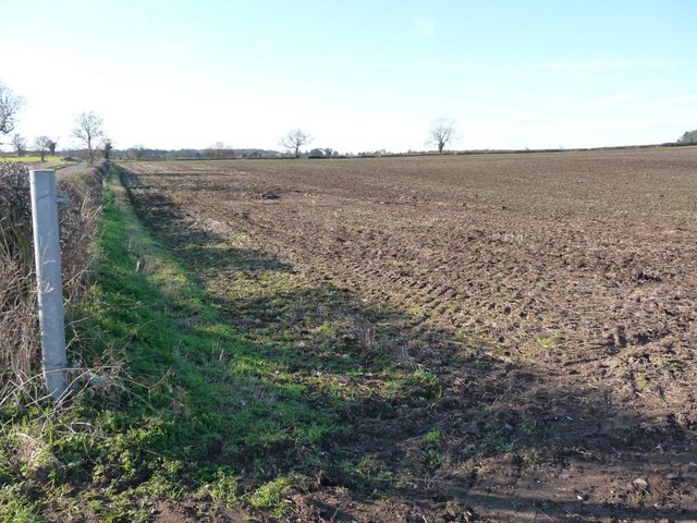
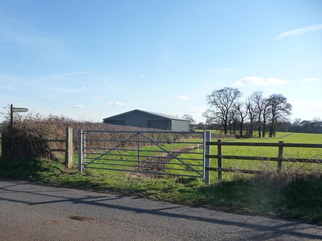
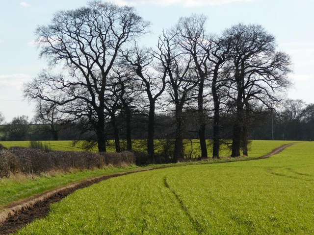
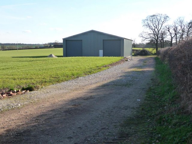
Stanleigh Plantation Images

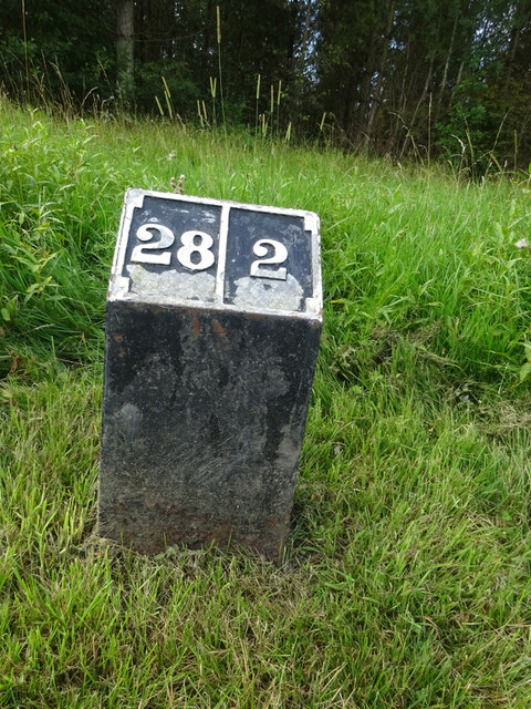
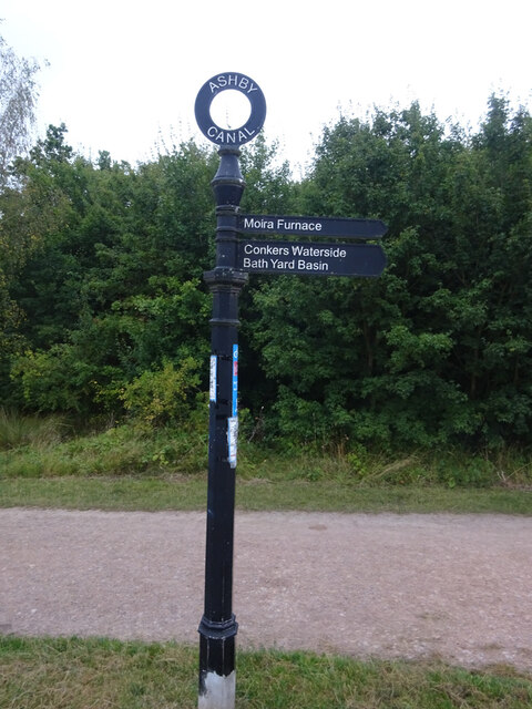
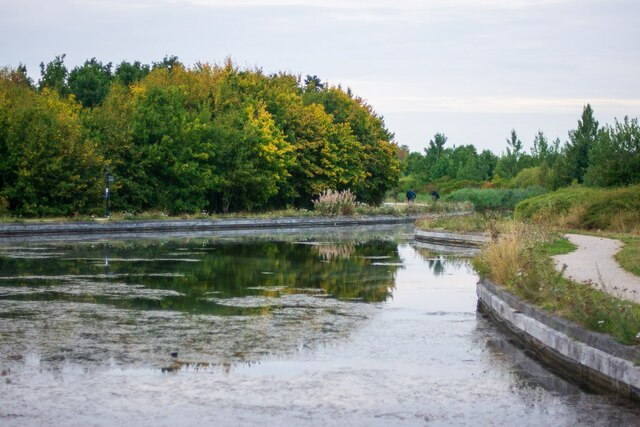
Images are sourced within 2km of 52.714265/-1.5479068 or Grid Reference SK3013. Thanks to Geograph Open Source API. All images are credited.

Restored Milestone, Ashby Canal A modern representation of the mile peg that would have existed. This section of the canal has been restored and partly modified and truncated (by a mile) . It would have served the collieries in Donisthorpe & Moira. The mileage represents the original end to the canal - see <a href="https://www.geograph.org.uk/photo/343576">SK3114 : Wrong!</a>.

Inscription: 28 / 2

Milestone Society National ID: ASH-28
Restored Milestone, Ashby Canal
A modern representation of the mile peg that would have existed. This section of the canal has been restored and partly modified and truncated (by a mile) . It would have served the collieries in Donisthorpe & Moira. The mileage represents the original end to the canal - see SK3114 : Wrong!. Inscription: 28 / 2 Milestone Society National ID: ASH-28
Ashby Canal, Fingerpost Near the Donisthorpe end of the short navigable, landlocked section of the Ashby Canal.

Inscription: Ashby Canal // Moira Furness // Conkers Waterside / Bath Yard Basin

Milestone Society National ID: LE_SK3114CAN
Ashby Canal, Fingerpost
Near the Donisthorpe end of the short navigable, landlocked section of the Ashby Canal. Inscription: Ashby Canal // Moira Furness // Conkers Waterside / Bath Yard Basin Milestone Society National ID: LE_SK3114CAN
Moira Road, Donisthorpe Taken from the crossroads between Church Street, Ashby Road and Measham Road. Somewhere along this road was a long line of terraced colliery cottages, since demolished probably due to subsidence and poor living conditions.

The image has been cropped to emphasise the dramatic slopes along this road. This, in addition to the handheld exposure during deep dusk and the f/1.4 aperture of a rather antiquated lens, creates a rather... dreamy image, to put it politely!
Moira Road, Donisthorpe
Taken from the crossroads between Church Street, Ashby Road and Measham Road. Somewhere along this road was a long line of terraced colliery cottages, since demolished probably due to subsidence and poor living conditions. The image has been cropped to emphasise the dramatic slopes along this road. This, in addition to the handheld exposure during deep dusk and the f/1.4 aperture of a rather antiquated lens, creates a rather... dreamy image, to put it politely!
The Mason's Arms, Donisthorpe Positioned by the crossroads through the town. This public house closed quite recently, and is expected to be demolished for housing. Evidently the upper floor is still occupied in some form.
The Mason's Arms, Donisthorpe
Positioned by the crossroads through the town. This public house closed quite recently, and is expected to be demolished for housing. Evidently the upper floor is still occupied in some form.
Sewage Pump House, Donisthorpe Located on Moira Road. Once marked on maps as a "Valve House" (1970s), later a "Sewage Pump House" (1980s).
Sewage Pump House, Donisthorpe
Located on Moira Road. Once marked on maps as a "Valve House" (1970s), later a "Sewage Pump House" (1980s).
The end of the Ashby Canal (Moira to Donisthorpe) This isolated stretch of the canal runs from Conkers (Moira) to this point in Donisthorpe, constructed between 1999 and 2005. This will supposedly be extended through Measham and be reconnected to the "real" Ashby canal terminal at Snarestone, finally connecting these few miles of canal to the national network. Despite currently being largely useless for navigation, it is a cherished feature for local walkers and cyclists, acting as a backbone for the Donisthorpe Woodland Park (Dominating the left side of the canal) and the Conkers development.
The end of the Ashby Canal (Moira to Donisthorpe)
This isolated stretch of the canal runs from Conkers (Moira) to this point in Donisthorpe, constructed between 1999 and 2005. This will supposedly be extended through Measham and be reconnected to the "real" Ashby canal terminal at Snarestone, finally connecting these few miles of canal to the national network. Despite currently being largely useless for navigation, it is a cherished feature for local walkers and cyclists, acting as a backbone for the Donisthorpe Woodland Park (Dominating the left side of the canal) and the Conkers development.
Stretton en le Field church Stretton en le Field church is dedicated to St Michael and is Grade II* listed, see: <span class="nowrap"><a title="https://historicengland.org.uk/listing/the-list/list-entry/1074318?section=official-list-entry" rel="nofollow ugc noopener" href="https://historicengland.org.uk/listing/the-list/list-entry/1074318?section=official-list-entry">Link</a><img style="margin-left:2px;" alt="External link" title="External link - shift click to open in new window" src="https://s1.geograph.org.uk/img/external.png" width="10" height="10"/></span>  The church dates from the 14th and 15th centuries.
Stretton en le Field church
Stretton en le Field church is dedicated to St Michael and is Grade II* listed, see: LinkExternal link The church dates from the 14th and 15th centuries.
Interior of Stretton en le Field church Interior of Stretton en le Field St Michael's church.  The church is Grade II* listed, see: <span class="nowrap"><a title="https://historicengland.org.uk/listing/the-list/list-entry/1074318?section=official-list-entry" rel="nofollow ugc noopener" href="https://historicengland.org.uk/listing/the-list/list-entry/1074318?section=official-list-entry">Link</a><img style="margin-left:2px;" alt="External link" title="External link - shift click to open in new window" src="https://s1.geograph.org.uk/img/external.png" width="10" height="10"/></span>
Interior of Stretton en le Field church
Interior of Stretton en le Field St Michael's church. The church is Grade II* listed, see: LinkExternal link
Interior of Stretton en le Field church Interior of Stretton en le Field St Michael's church.  View from the chancel along the nave.  The church is Grade II* listed, see: <span class="nowrap"><a title="https://historicengland.org.uk/listing/the-list/list-entry/1074318?section=official-list-entry" rel="nofollow ugc noopener" href="https://historicengland.org.uk/listing/the-list/list-entry/1074318?section=official-list-entry">Link</a><img style="margin-left:2px;" alt="External link" title="External link - shift click to open in new window" src="https://s1.geograph.org.uk/img/external.png" width="10" height="10"/></span>
Interior of Stretton en le Field church
Interior of Stretton en le Field St Michael's church. View from the chancel along the nave. The church is Grade II* listed, see: LinkExternal link
Farmland at Stretton en le Field View over farmland to the north of Stretton en le Field church.
Farmland at Stretton en le Field
View over farmland to the north of Stretton en le Field church.
Winter tree On Gorsey Lane, looking towards Acresford.
Winter tree
On Gorsey Lane, looking towards Acresford.
Footpath sign on Gorsey Lane With a bench for weary walkers.
Footpath sign on Gorsey Lane
With a bench for weary walkers.
Footpath across ploughed ground Heading towards Mount Pleasant Wood, and eventually Overseal. Perhaps walkers keep to the field edge?
Footpath across ploughed ground
Heading towards Mount Pleasant Wood, and eventually Overseal. Perhaps walkers keep to the field edge?
The gentle slopes of Cadborough Hill Seen from Gorsey Lane.
The gentle slopes of Cadborough Hill
Seen from Gorsey Lane.
Large ploughed field On the north side of Gorsey Lane.
Large ploughed field
On the north side of Gorsey Lane.
Footpath sign on Gorsey Lane Pointing out the path to Netherseal.
Footpath sign on Gorsey Lane
Pointing out the path to Netherseal.
Clump of trees alongside the Netherseal footpath Seen from Gorsey Lane.
Clump of trees alongside the Netherseal footpath
Seen from Gorsey Lane.
New track and new barn Neither are shown on First Series 1:50,000 map.
New track and new barn
Neither are shown on First Series 1:50,000 map.
Show me another place!

Stanleigh Plantation is located at Grid Ref: SK3013 (Lat: 52.714265, Lng: -1.5479068)

Administrative County: Leicestershire

District: North West Leicestershire

Police Authority: Leicestershire

What 3 Words

///crisis.jousting.dented. Near Donisthorpe, Leicestershire

Related Wikis

Acresford

Acresford is a hamlet in North West Leicestershire, it shares civil parish authorities with Donisthorpe and Oakthorpe and forms part of the border with...

Stretton en le Field

Stretton en le Field is a small village and civil parish in the North West Leicestershire district of Leicestershire, England, about 7 miles/11 km south...

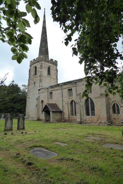
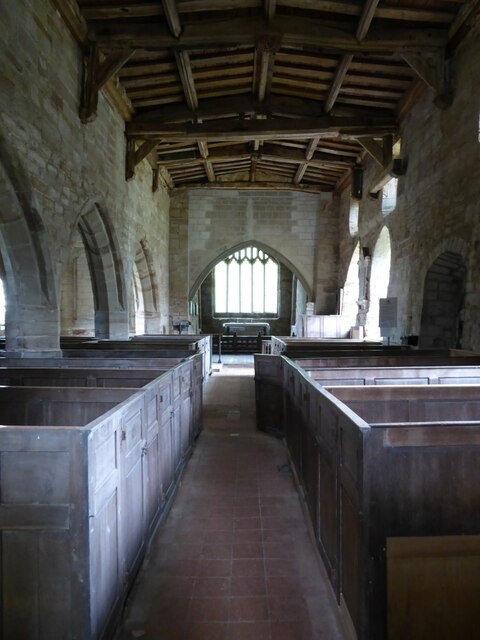
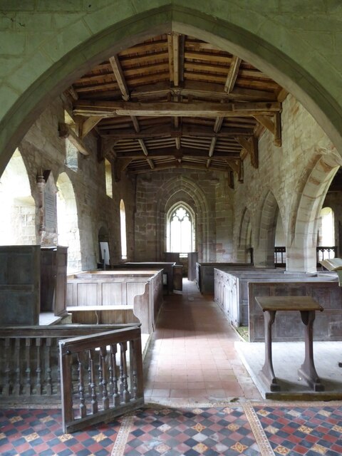
St Michael's Church, Stretton en le Field

St Michael's Church is a redundant Anglican church in the village of Stretton en le Field, Leicestershire, England (grid reference SK303119). It is recorded...

Donisthorpe

Donisthorpe is a village in the North West Leicestershire district of Leicestershire, England, historically an exclave of Derbyshire. == History == In...

Nearby Amenities

Located within 500m of 52.714265,-1.5479068
Bus Stop
The Anchorage
Public Transport: platform
Lat/Long: 52.7141261/-1.5536374
Bus Stop
The Anchorage
Naptan AtcoCode: 260015004
Naptan NaptanCode: leimdadj
Public Transport: platform
Lat/Long: 52.7140822/-1.5537876
The data included in this document is from www.openstreetmap.org. The data is made available under ODbL.

Have you been to Stanleigh Plantation?

Leave your review of Stanleigh Plantation below (or comments, questions and feedback).