Seal Pastures Plantation

Wood, Forest in Leicestershire South Derbyshire

England

Seal Pastures Plantation

Restored Milestone, Ashby Canal A modern representation of the mile peg that would have existed. This section of the canal has been restored and partly modified and truncated (by a mile) . It would have served the collieries in Donisthorpe & Moira. The mileage represents the original end to the canal - see <a href="https://www.geograph.org.uk/photo/343576">SK3114 : Wrong!</a>.

Inscription: 28 / 2

Milestone Society National ID: ASH-28
Restored Milestone, Ashby Canal Credit: Mr Red

Seal Pastures Plantation is a sprawling woodland located in Leicestershire, England. Covering an area of approximately 500 hectares, it is an integral part of the local landscape and an important natural resource. The plantation consists mainly of deciduous trees, predominantly oak and beech, interspersed with pockets of coniferous species such as pine and spruce.

The woodland is known for its diverse range of flora and fauna, providing a habitat for numerous animal and plant species. Visitors can expect to encounter various woodland creatures, including deer, foxes, badgers, and a wide array of bird species. The plantation is particularly popular among birdwatchers, who come to observe the resident and migratory birds that call the woodland home.

Seal Pastures Plantation offers a tranquil escape from the hustle and bustle of urban life, making it a popular spot for nature lovers and outdoor enthusiasts. The well-maintained trails and paths that wind through the woodland provide ample opportunities for walking, jogging, and cycling. Additionally, the woodland is equipped with picnic areas and benches, making it an ideal location for family outings or a peaceful lunch in nature.

The plantation is managed by the local authorities and conservation organizations, who work together to ensure the preservation and protection of its natural heritage. This includes regular tree maintenance, habitat restoration, and the implementation of sustainable practices.

In conclusion, Seal Pastures Plantation is a picturesque woodland in Leicestershire that offers visitors a chance to connect with nature and enjoy the beauty of the local landscape. With its diverse ecosystem and well-maintained facilities, it is a haven for wildlife and a popular destination for outdoor activities.

If you have any feedback on the listing, please let us know in the comments section below.

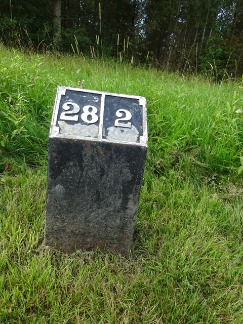
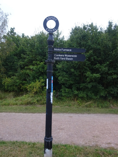
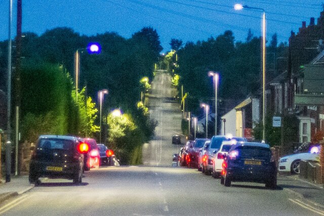
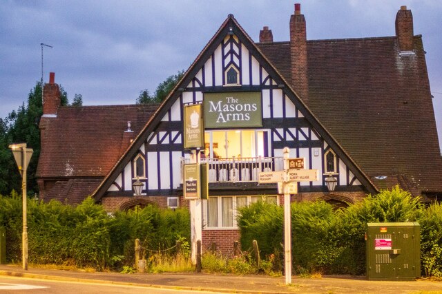
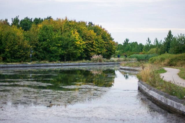
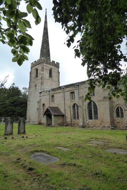
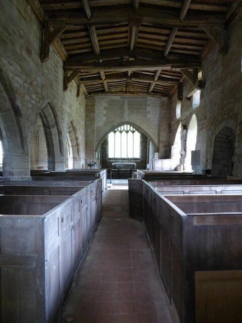
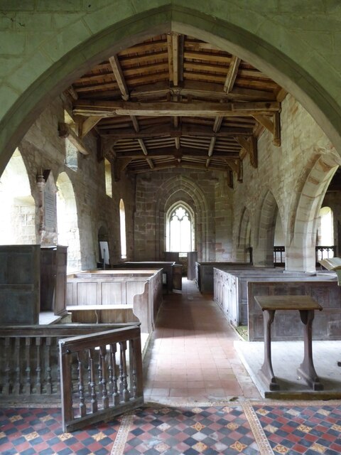
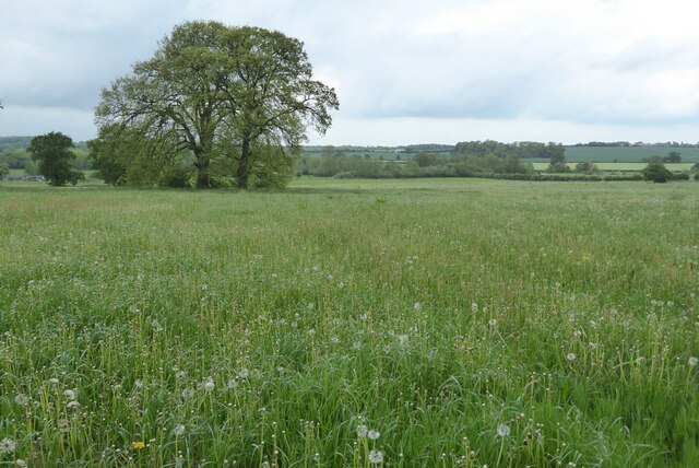
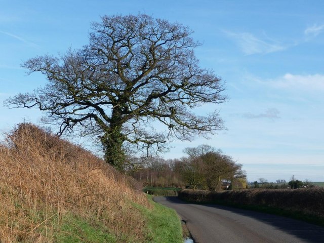
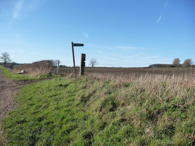
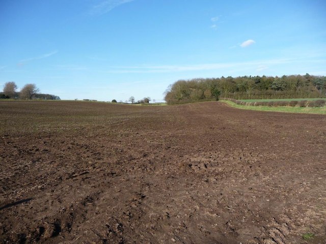
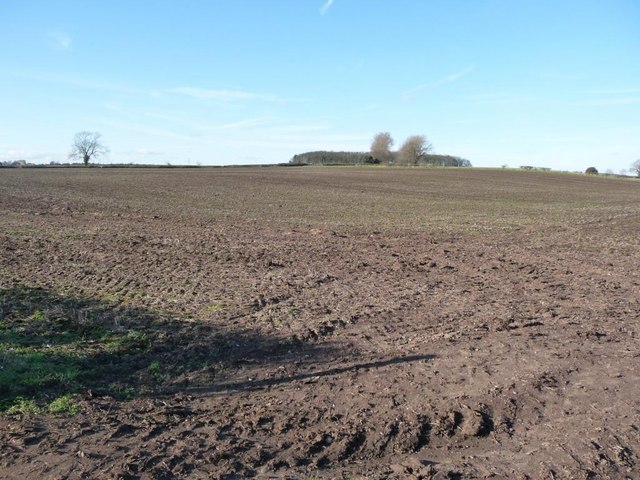
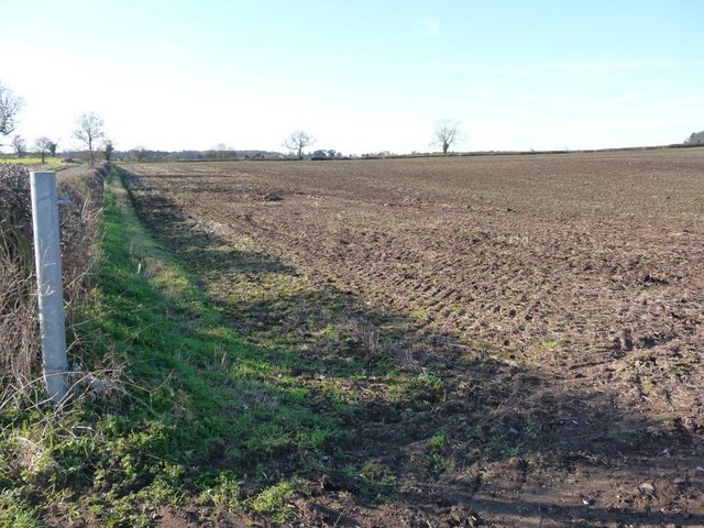
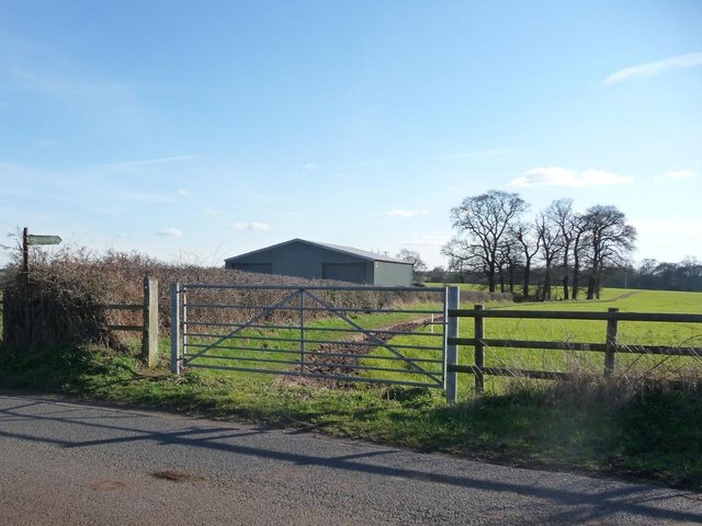
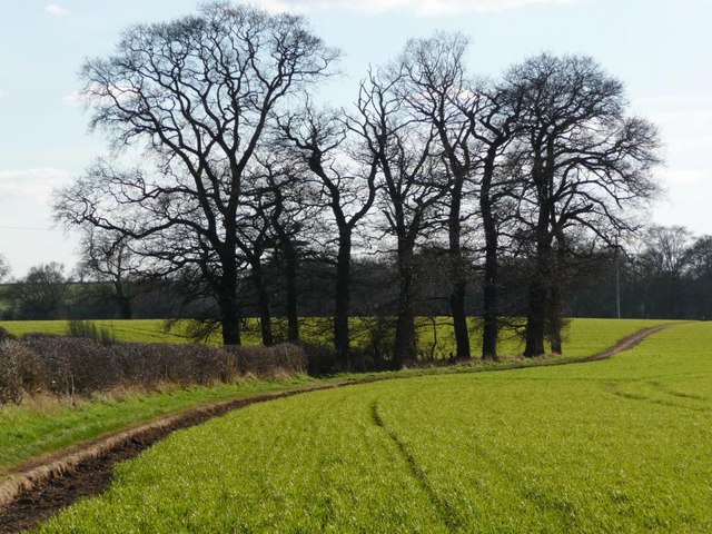
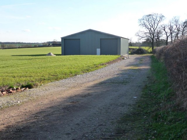
Seal Pastures Plantation Images

Images are sourced within 2km of 52.718542/-1.5543618 or Grid Reference SK3013. Thanks to Geograph Open Source API. All images are credited.

Restored Milestone, Ashby Canal A modern representation of the mile peg that would have existed. This section of the canal has been restored and partly modified and truncated (by a mile) . It would have served the collieries in Donisthorpe & Moira. The mileage represents the original end to the canal - see <a href="https://www.geograph.org.uk/photo/343576">SK3114 : Wrong!</a>.

Inscription: 28 / 2

Milestone Society National ID: ASH-28
Restored Milestone, Ashby Canal
A modern representation of the mile peg that would have existed. This section of the canal has been restored and partly modified and truncated (by a mile) . It would have served the collieries in Donisthorpe & Moira. The mileage represents the original end to the canal - see SK3114 : Wrong!. Inscription: 28 / 2 Milestone Society National ID: ASH-28
Ashby Canal, Fingerpost Near the Donisthorpe end of the short navigable, landlocked section of the Ashby Canal.

Inscription: Ashby Canal // Moira Furness // Conkers Waterside / Bath Yard Basin

Milestone Society National ID: LE_SK3114CAN
Ashby Canal, Fingerpost
Near the Donisthorpe end of the short navigable, landlocked section of the Ashby Canal. Inscription: Ashby Canal // Moira Furness // Conkers Waterside / Bath Yard Basin Milestone Society National ID: LE_SK3114CAN
Moira Road, Donisthorpe Taken from the crossroads between Church Street, Ashby Road and Measham Road. Somewhere along this road was a long line of terraced colliery cottages, since demolished probably due to subsidence and poor living conditions.

The image has been cropped to emphasise the dramatic slopes along this road. This, in addition to the handheld exposure during deep dusk and the f/1.4 aperture of a rather antiquated lens, creates a rather... dreamy image, to put it politely!
Moira Road, Donisthorpe
Taken from the crossroads between Church Street, Ashby Road and Measham Road. Somewhere along this road was a long line of terraced colliery cottages, since demolished probably due to subsidence and poor living conditions. The image has been cropped to emphasise the dramatic slopes along this road. This, in addition to the handheld exposure during deep dusk and the f/1.4 aperture of a rather antiquated lens, creates a rather... dreamy image, to put it politely!
The Mason's Arms, Donisthorpe Positioned by the crossroads through the town. This public house closed quite recently, and is expected to be demolished for housing. Evidently the upper floor is still occupied in some form.
The Mason's Arms, Donisthorpe
Positioned by the crossroads through the town. This public house closed quite recently, and is expected to be demolished for housing. Evidently the upper floor is still occupied in some form.
The end of the Ashby Canal (Moira to Donisthorpe) This isolated stretch of the canal runs from Conkers (Moira) to this point in Donisthorpe, constructed between 1999 and 2005. This will supposedly be extended through Measham and be reconnected to the "real" Ashby canal terminal at Snarestone, finally connecting these few miles of canal to the national network. Despite currently being largely useless for navigation, it is a cherished feature for local walkers and cyclists, acting as a backbone for the Donisthorpe Woodland Park (Dominating the left side of the canal) and the Conkers development.
The end of the Ashby Canal (Moira to Donisthorpe)
This isolated stretch of the canal runs from Conkers (Moira) to this point in Donisthorpe, constructed between 1999 and 2005. This will supposedly be extended through Measham and be reconnected to the "real" Ashby canal terminal at Snarestone, finally connecting these few miles of canal to the national network. Despite currently being largely useless for navigation, it is a cherished feature for local walkers and cyclists, acting as a backbone for the Donisthorpe Woodland Park (Dominating the left side of the canal) and the Conkers development.
Stretton en le Field church Stretton en le Field church is dedicated to St Michael and is Grade II* listed, see: <span class="nowrap"><a title="https://historicengland.org.uk/listing/the-list/list-entry/1074318?section=official-list-entry" rel="nofollow ugc noopener" href="https://historicengland.org.uk/listing/the-list/list-entry/1074318?section=official-list-entry">Link</a><img style="margin-left:2px;" alt="External link" title="External link - shift click to open in new window" src="https://s1.geograph.org.uk/img/external.png" width="10" height="10"/></span>  The church dates from the 14th and 15th centuries.
Stretton en le Field church
Stretton en le Field church is dedicated to St Michael and is Grade II* listed, see: LinkExternal link The church dates from the 14th and 15th centuries.
Interior of Stretton en le Field church Interior of Stretton en le Field St Michael's church.  The church is Grade II* listed, see: <span class="nowrap"><a title="https://historicengland.org.uk/listing/the-list/list-entry/1074318?section=official-list-entry" rel="nofollow ugc noopener" href="https://historicengland.org.uk/listing/the-list/list-entry/1074318?section=official-list-entry">Link</a><img style="margin-left:2px;" alt="External link" title="External link - shift click to open in new window" src="https://s1.geograph.org.uk/img/external.png" width="10" height="10"/></span>
Interior of Stretton en le Field church
Interior of Stretton en le Field St Michael's church. The church is Grade II* listed, see: LinkExternal link
Interior of Stretton en le Field church Interior of Stretton en le Field St Michael's church.  View from the chancel along the nave.  The church is Grade II* listed, see: <span class="nowrap"><a title="https://historicengland.org.uk/listing/the-list/list-entry/1074318?section=official-list-entry" rel="nofollow ugc noopener" href="https://historicengland.org.uk/listing/the-list/list-entry/1074318?section=official-list-entry">Link</a><img style="margin-left:2px;" alt="External link" title="External link - shift click to open in new window" src="https://s1.geograph.org.uk/img/external.png" width="10" height="10"/></span>
Interior of Stretton en le Field church
Interior of Stretton en le Field St Michael's church. View from the chancel along the nave. The church is Grade II* listed, see: LinkExternal link
Farmland at Stretton en le Field View over farmland to the north of Stretton en le Field church.
Farmland at Stretton en le Field
View over farmland to the north of Stretton en le Field church.
Ashby Canal, Moira Seen from the bridge over the canal and leading to Moira Furnace.
Ashby Canal, Moira
Seen from the bridge over the canal and leading to Moira Furnace.
Winter tree On Gorsey Lane, looking towards Acresford.
Winter tree
On Gorsey Lane, looking towards Acresford.
Footpath sign on Gorsey Lane With a bench for weary walkers.
Footpath sign on Gorsey Lane
With a bench for weary walkers.
Footpath across ploughed ground Heading towards Mount Pleasant Wood, and eventually Overseal. Perhaps walkers keep to the field edge?
Footpath across ploughed ground
Heading towards Mount Pleasant Wood, and eventually Overseal. Perhaps walkers keep to the field edge?
The gentle slopes of Cadborough Hill Seen from Gorsey Lane.
The gentle slopes of Cadborough Hill
Seen from Gorsey Lane.
Large ploughed field On the north side of Gorsey Lane.
Large ploughed field
On the north side of Gorsey Lane.
Footpath sign on Gorsey Lane Pointing out the path to Netherseal.
Footpath sign on Gorsey Lane
Pointing out the path to Netherseal.
Clump of trees alongside the Netherseal footpath Seen from Gorsey Lane.
Clump of trees alongside the Netherseal footpath
Seen from Gorsey Lane.
New track and new barn Neither are shown on First Series 1:50,000 map.
New track and new barn
Neither are shown on First Series 1:50,000 map.
Show me another place!

Seal Pastures Plantation is located at Grid Ref: SK3013 (Lat: 52.718542, Lng: -1.5543618)

Administrative County: Derbyshire

District: South Derbyshire

Police Authority: Derbyshire

What 3 Words

///large.merely.rating. Near Donisthorpe, Leicestershire

Related Wikis

Acresford

Acresford is a hamlet in North West Leicestershire, it shares civil parish authorities with Donisthorpe and Oakthorpe and forms part of the border with...

Short Heath, Derbyshire

Short Heath is a hamlet near Overseal, in South Derbyshire. It is on the border with Leicestershire and has a sign where it claims to be the centre of...

Donisthorpe

Donisthorpe is a village in the North West Leicestershire district of Leicestershire, England, historically an exclave of Derbyshire. == History == In...

Donisthorpe railway station

Donisthorpe railway station is a disused railway station that formerly served the village of Donisthorpe, North West Leicestershire, from 1874 to 1931...

Related Videos

Family Camping

In this video I take my mum and dog Bella camping to Conkers Camping and Caravanning Club. To be fair my mum had seen ...

December Camping 2022

In this video I try out my new Naturehike Opalus 3 tent at the Conkers camping and caravanning club site.

Our First Camping Trip

In this video my Girlfriend and I visit the Conkers Camping and Caravanning Club for one night. We've not been dating long so ...

Conkers Camping and Caravan Park 🚐⛺

Walks and Cycling routes at Conkers.

Nearby Amenities

Located within 500m of 52.718542,-1.5543618
Post Box
Operator: Royal Mail
Ref: DE12 1157
Lat/Long: 52.7151302/-1.5579814
Acresford
Place: hamlet
Lat/Long: 52.7155895/-1.5573759
Bus Stop
The Anchorage
Public Transport: platform
Lat/Long: 52.7141261/-1.5536374
Bus Stop
The Anchorage
Naptan AtcoCode: 260015004
Naptan NaptanCode: leimdadj
Public Transport: platform
Lat/Long: 52.7140822/-1.5537876
Bus Stop
Measham Road
Public Transport: platform
Lat/Long: 52.7150953/-1.5580751
Bus Stop
Measham Road
Naptan AtcoCode: 260014924
Naptan NaptanCode: leimatgp
Public Transport: platform
Lat/Long: 52.7150762/-1.5584178
The data included in this document is from www.openstreetmap.org. The data is made available under ODbL.

Have you been to Seal Pastures Plantation?

Leave your review of Seal Pastures Plantation below (or comments, questions and feedback).