The General's Wood
Wood, Forest in Durham
England
The General's Wood
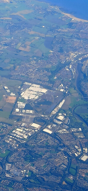
The General's Wood, located in Durham, is a picturesque forest known for its natural beauty and historical significance. Spanning an area of approximately 100 acres, this woodland is situated on the outskirts of Durham city, making it easily accessible for visitors.
The General's Wood gets its name from General Lambton, a prominent military figure who once owned the land. The wood is believed to have been in existence for centuries and has retained its charm through careful preservation efforts. It is home to a diverse range of flora and fauna, with a variety of tree species including oak, ash, and beech.
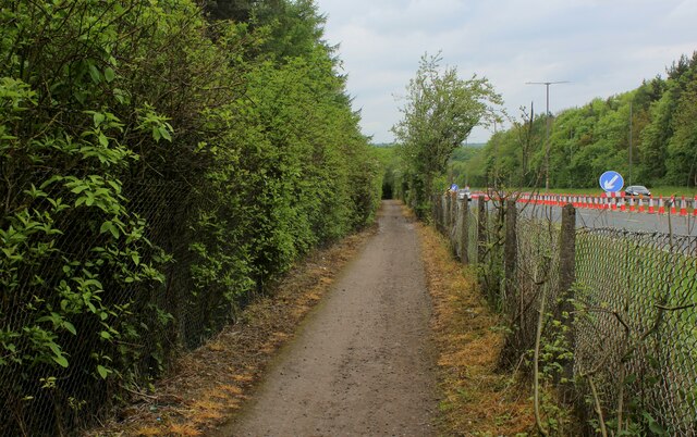
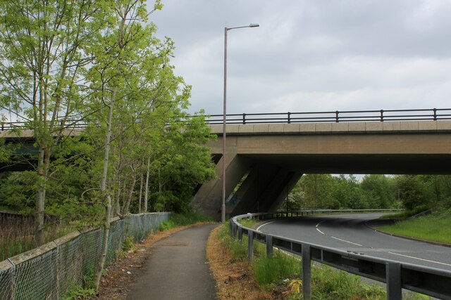
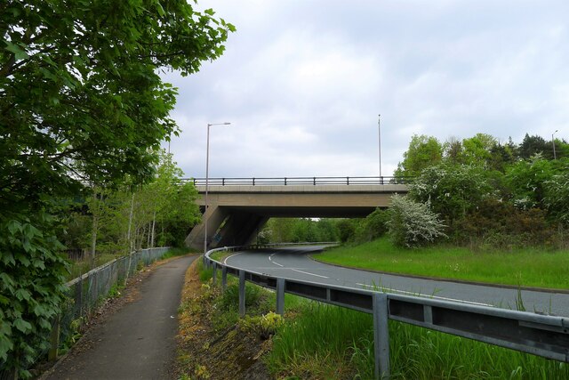
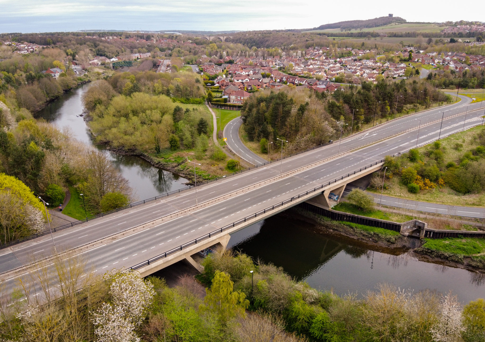
The woodland offers a haven for nature enthusiasts, providing opportunities for leisurely walks, birdwatching, and wildlife spotting. The tranquil atmosphere makes it an ideal retreat for those seeking solace amidst nature. Visitors can explore the network of well-maintained trails that wind through the forest, offering a chance to immerse themselves in the serene surroundings.
In addition to its natural appeal, The General's Wood also holds historical significance. The remnants of an ancient Roman road can be found within its boundaries, serving as a reminder of the area's rich heritage. Archaeological discoveries have unearthed artifacts and evidence of human activity dating back centuries, adding an extra layer of intrigue to the forest.
Overall, The General's Wood in Durham is a captivating blend of natural beauty and historical significance. Its lush vegetation, peaceful ambiance, and historical remnants make it a must-visit destination for nature lovers and history enthusiasts alike.
If you have any feedback on the listing, please let us know in the comments section below.
The General's Wood Images
Images are sourced within 2km of 54.875736/-1.5310106 or Grid Reference NZ3053. Thanks to Geograph Open Source API. All images are credited.


The General's Wood is located at Grid Ref: NZ3053 (Lat: 54.875736, Lng: -1.5310106)
Unitary Authority: County Durham
Police Authority: Durham
What 3 Words
///flight.tins.smile. Near Washington, Tyne & Wear
Nearby Locations
Related Wikis

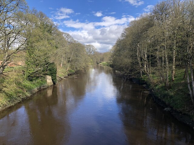
Harraton
Harraton is a suburb of Washington, in the City of Sunderland metropolitan borough, in Tyne and Wear, England. Harraton is near the River Wear and is 3...

Fatfield
Fatfield is an area of Washington, in the City of Sunderland metropolitan borough in Tyne and Wear, England. == Description == Fatfield is an area of Washington...
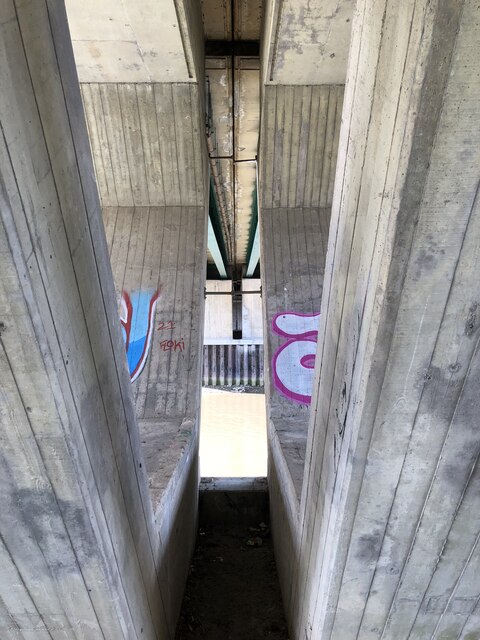
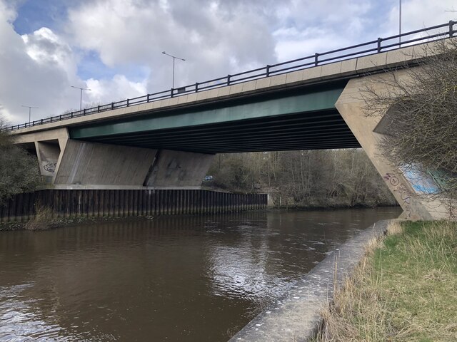
Chartershaugh Bridge
Chartershaugh Bridge is a road traffic bridge spanning the River Wear in North East England, linking Penshaw with Fatfield as part of the A182 road. The...

Fatfield Woods
Fatfield Woods is a woodland in Tyne and Wear, England, near Washington. It covers a total area of 8.99 hectares (22.21 acres). It is owned and managed...
Nearby Amenities
Located within 500m of 54.875736,-1.5310106Have you been to The General's Wood?
Leave your review of The General's Wood below (or comments, questions and feedback).