Whitefield Coppice

Wood, Forest in Warwickshire Warwick

England

Whitefield Coppice

Song (Version V), Warwick University This sculpture was created by Jon Isherwood in 2017, using digital cutting technology on black granite. It stands on its plinth in a fairly secluded part of the university campus, on the edge of the Old Brickyard Plantation and Windmill Hill, with its beacon visible on the horizon.
Song (Version V), Warwick University Credit: A J Paxton

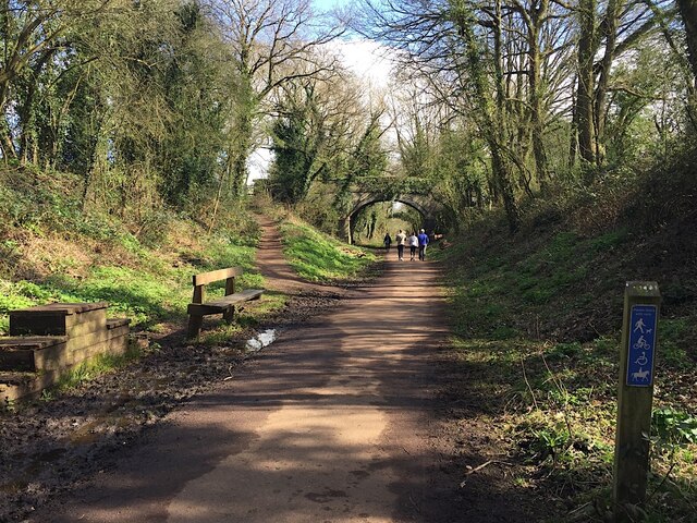
Whitefield Coppice is a picturesque woodland area located in Warwickshire, England. It spans approximately 100 acres and is renowned for its diverse flora and fauna, making it a popular destination for nature enthusiasts and hikers. The coppice is situated near the village of Whitefield and is surrounded by rolling hills and meadows, adding to its scenic beauty.

The woodland primarily consists of broadleaf trees, including oak, beech, and birch, which provide a rich habitat for a wide range of wildlife. Visitors to Whitefield Coppice can expect to encounter various bird species, such as robins, woodpeckers, and owls, as well as small mammals like squirrels and rabbits. The tranquil atmosphere of the forest is interrupted only by the gentle rustling of leaves and the occasional bird song.

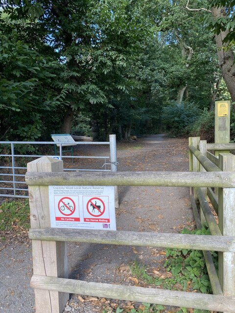
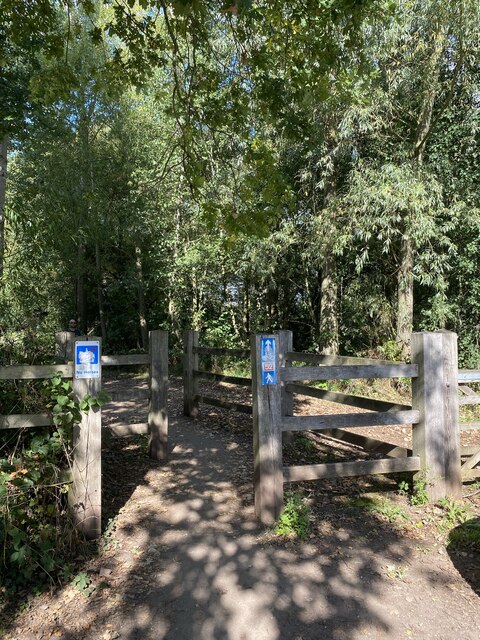
Paths and trails crisscross through the coppice, allowing visitors to explore its hidden corners and appreciate its natural splendor. The well-maintained trails are suitable for walkers of all abilities and offer different routes to cater to individual preferences. Along the way, there are several benches and picnic spots, providing opportunities for visitors to rest and enjoy the peaceful surroundings.

Whitefield Coppice is a designated Site of Special Scientific Interest (SSSI) due to its ecological importance. The ancient woodland is home to a variety of rare plant species, including bluebells, wild garlic, and wood sorrel, which create a stunning display of colors during the spring months. These plants attract a diverse range of insects, further enhancing the biodiversity of the area.

In summary, Whitefield Coppice in Warwickshire is a beautiful woodland retreat, offering a serene environment and a chance to reconnect with nature. With its rich flora and fauna, scenic trails, and peaceful ambiance, it is a must-visit for those seeking an escape from the hustle and bustle of everyday life.

If you have any feedback on the listing, please let us know in the comments section below.

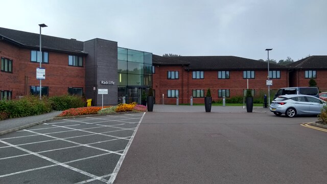
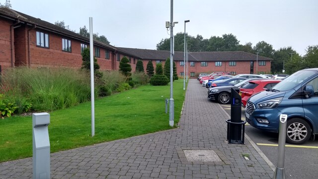
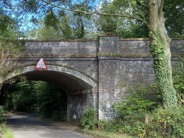
Whitefield Coppice Images

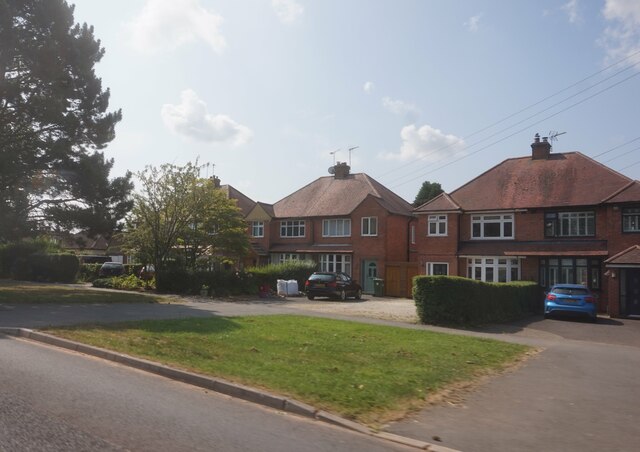
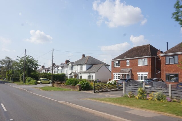
Images are sourced within 2km of 52.376384/-1.5735152 or Grid Reference SP2975. Thanks to Geograph Open Source API. All images are credited.

Song (Version V), Warwick University This sculpture was created by Jon Isherwood in 2017, using digital cutting technology on black granite. It stands on its plinth in a fairly secluded part of the university campus, on the edge of the Old Brickyard Plantation and Windmill Hill, with its beacon visible on the horizon.
Song (Version V), Warwick University
This sculpture was created by Jon Isherwood in 2017, using digital cutting technology on black granite. It stands on its plinth in a fairly secluded part of the university campus, on the edge of the Old Brickyard Plantation and Windmill Hill, with its beacon visible on the horizon.
Milestone and pillar box, Gibbet Hill, Coventry They stand at the corner of Kenilworth Road and Gibbet Hill Road, near to Warwick University.
Milestone and pillar box, Gibbet Hill, Coventry
They stand at the corner of Kenilworth Road and Gibbet Hill Road, near to Warwick University.
Houses on Red Lane near Burton Green
Red Lane near Long Meadow Barn Farm
East on Kenilworth Greenway, Crackley The Greenway, a County Council amenity, follows the route of the former Kenilworth-Berkswell railway line. Here it is crossed by and connected to a public footpath, a track at this point, between north Kenilworth and south Coventry.
East on Kenilworth Greenway, Crackley
The Greenway, a County Council amenity, follows the route of the former Kenilworth-Berkswell railway line. Here it is crossed by and connected to a public footpath, a track at this point, between north Kenilworth and south Coventry.
Greek Orthodox Church, Westwood Heath Road, Coventry The flags of Cyprus, the United Kingdom and Greece can be seen flying outside the Greek Orthodox Church of the Holy Transfiguration. The church was open to the public on a Heritage Open Day. Tours of the church building were taking place and, in St. George's Hall, the red brick building visible to the right behind the church, could be seen a display on the history of the church and the Greek Cypriot community and another on the history of the Westwood Heath area by the Westwood Heath History Group. For the website of the church see here <span class="nowrap"><a title="https://greekchurchcoventry.org/index.html" rel="nofollow ugc noopener" href="https://greekchurchcoventry.org/index.html">Link</a><img style="margin-left:2px;" alt="External link" title="External link - shift click to open in new window" src="https://s1.geograph.org.uk/img/external.png" width="10" height="10"/></span> , for the website of the history group see here <span class="nowrap"><a title="https://westwoodheathra.wixsite.com/website" rel="nofollow ugc noopener" href="https://westwoodheathra.wixsite.com/website">Link</a><img style="margin-left:2px;" alt="External link" title="External link - shift click to open in new window" src="https://s1.geograph.org.uk/img/external.png" width="10" height="10"/></span> .

According to the church display, the first Cypriot migrants arrived in Coventry in the 1930s. At that time Cyprus was a colony of the British Empire. Increasing migration in the 1950s and 1960s led to the establishment of a Greek-language supplementary school and a Greek Orthodox church, which worshipped in Church of England churches. In 1977 the community acquired a Victorian school building in Westwood Heath. This was consecrated as an Orthodox church in 1978. It has since been extended, while classrooms for the Greek school have been built along with St George's Hall as a community venue <span class="nowrap"><a title="https://greekchurchcoventry.org/about-us.html" rel="nofollow ugc noopener" href="https://greekchurchcoventry.org/about-us.html">Link</a><img style="margin-left:2px;" alt="External link" title="External link - shift click to open in new window" src="https://s1.geograph.org.uk/img/external.png" width="10" height="10"/></span> . The site overlooks the Warwickshire countryside beyond the city.

The church itself has the rectangular shape and rows of wooden pews of a western church building, but there is no mistaking the Orthodox character of the painted icons on the walls and on the iconostasis, the screen which divides the sanctuary with the altar from the main body of the church.
Greek Orthodox Church, Westwood Heath Road, Coventry
The flags of Cyprus, the United Kingdom and Greece can be seen flying outside the Greek Orthodox Church of the Holy Transfiguration. The church was open to the public on a Heritage Open Day. Tours of the church building were taking place and, in St. George's Hall, the red brick building visible to the right behind the church, could be seen a display on the history of the church and the Greek Cypriot community and another on the history of the Westwood Heath area by the Westwood Heath History Group. For the website of the church see here LinkExternal link , for the website of the history group see here LinkExternal link . According to the church display, the first Cypriot migrants arrived in Coventry in the 1930s. At that time Cyprus was a colony of the British Empire. Increasing migration in the 1950s and 1960s led to the establishment of a Greek-language supplementary school and a Greek Orthodox church, which worshipped in Church of England churches. In 1977 the community acquired a Victorian school building in Westwood Heath. This was consecrated as an Orthodox church in 1978. It has since been extended, while classrooms for the Greek school have been built along with St George's Hall as a community venue LinkExternal link . The site overlooks the Warwickshire countryside beyond the city. The church itself has the rectangular shape and rows of wooden pews of a western church building, but there is no mistaking the Orthodox character of the painted icons on the walls and on the iconostasis, the screen which divides the sanctuary with the altar from the main body of the church.
Radcliffe halls of residence - University of Warwick
Car parking - Radcliffe halls of residence Note that electric vehicle charging points have been provided, but at the same position as the disabled provision, meaning the points could not be used when a disabled vehicle was parked - entirely legitimately - in the spaces.
Car parking - Radcliffe halls of residence
Note that electric vehicle charging points have been provided, but at the same position as the disabled provision, meaning the points could not be used when a disabled vehicle was parked - entirely legitimately - in the spaces.
Footpath into Crackley Wood
Railway Bridge Bridge on the old Kenilworth to Birmingham line. Now the Coventry Way.
Railway Bridge
Bridge on the old Kenilworth to Birmingham line. Now the Coventry Way.
Footpath to Cryfield Footpath and cycleway, but not a bridleway.
Footpath to Cryfield
Footpath and cycleway, but not a bridleway.
Unibus at Warwick University The campus of Warwick University lies just on the outskirts of Coventry (which has its own university within the city) and quite some miles from Warwick itself. However there is a very frequent bus service both into Coventry and to Warwick via Kenilworth and Leamington Spa.
Unibus at Warwick University
The campus of Warwick University lies just on the outskirts of Coventry (which has its own university within the city) and quite some miles from Warwick itself. However there is a very frequent bus service both into Coventry and to Warwick via Kenilworth and Leamington Spa.
Scarman building, University of Warwick
Entrance sign Sign for the Scarman Building
Entrance sign
Sign for the Scarman Building
Scarman Road
Scarman Road
Entrance road, Scarman building See <a href="https://www.geograph.org.uk/photo/6982955">SP2976 : Entrance, with signage</a> for the door near the archway
Entrance road, Scarman building
See SP2976 : Entrance, with signage for the door near the archway
Entrance, with signage Entrance to the Scarman building, with various Covid-19 precaution signs
Entrance, with signage
Entrance to the Scarman building, with various Covid-19 precaution signs
Keep  your distance One of the signs in <a href="https://www.geograph.org.uk/photo/6982955">SP2976 : Entrance, with signage</a>
Keep your distance
One of the signs in SP2976 : Entrance, with signage
Show me another place!

Whitefield Coppice is located at Grid Ref: SP2975 (Lat: 52.376384, Lng: -1.5735152)

Administrative County: Warwickshire

District: Warwick

Police Authority: Warwickshire

What 3 Words

///lobby.supporter.prop. Near Kenilworth, Warwickshire

Related Wikis

Warwick Business School

Warwick Business School (WBS) is the business school of the University of Warwick and an academic department within the Faculty of Social Sciences. It...

University of Warwick

The University of Warwick ( WORR-ik; abbreviated as Warw. in post-nominal letters) is a public research university on the outskirts of Coventry between...
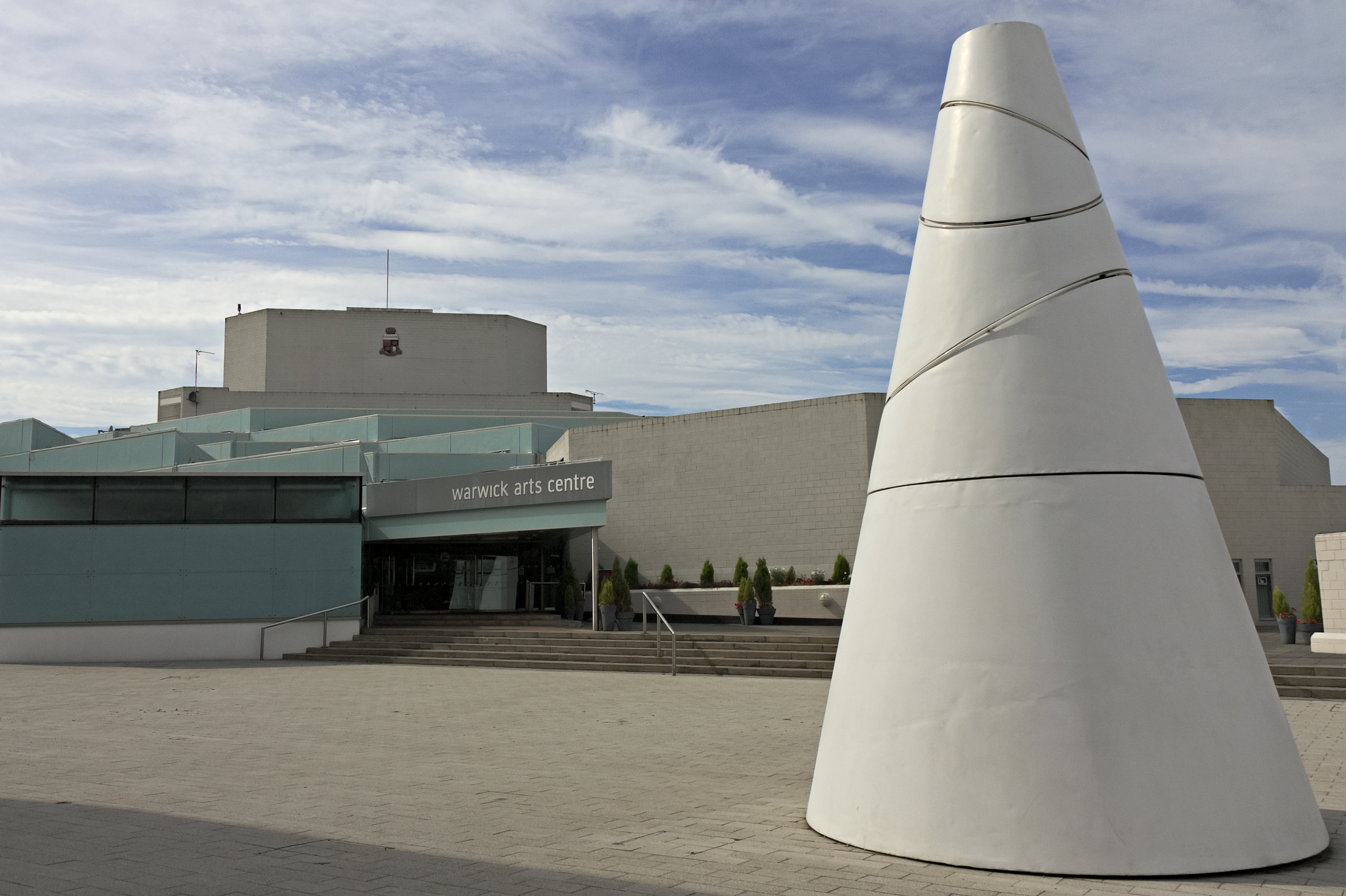
Warwick Arts Centre

Warwick Arts Centre is a multi-venue arts complex at the University of Warwick in Coventry, England. It attracts around 300,000 visitors a year to over...

Gibbet Hill (University of Warwick)

Gibbet Hill is the location of, and name for, the University of Warwick's southern campus, in the south of Coventry, England. The Gibbet Hill campus is...

Tile Hill

Tile Hill is a suburb in the west of Coventry, West Midlands, England. It is mostly residential and partly industrial, with some common land and wooded...

Westwood Heath

Westwood Heath is a southwestern suburb of the City of Coventry in the West Midlands, England.It is bordered by the suburbs of Cannon Park and Canley,...

National Automotive Innovation Centre

The National Automotive Innovation Centre (NAIC), sometimes referred to as the National Automotive Innovation Campus, is a building at the University of...

WMG, University of Warwick

WMG, University of Warwick (formerly Warwick Manufacturing Group), is a UK-based research and education group combining collaborative research and development...

Nearby Amenities

Located within 500m of 52.376384,-1.5735152
Barrier: bollard
Bollard: fixed
Lat/Long: 52.3799878/-1.570964
Bicycle Parking
Bicycle Parking: stands
Capacity: 24
Covered: yes
Lat/Long: 52.380455/-1.5707346
Bicycle Parking
Access: yes
Bicycle Parking: shed
Capacity: 8
Fee: no
Lat/Long: 52.3798762/-1.5723258
Bicycle Parking
Access: yes
Bicycle Parking: shed
Capacity: 8
Fee: no
Lat/Long: 52.3799171/-1.5723016
Bench
Lat/Long: 52.379406/-1.5714903
Bicycle Parking
Bicycle Parking: stands
Capacity: 8
Covered: no
Lat/Long: 52.3792578/-1.5718108
Bicycle Parking
Bicycle Parking: stands
Capacity: 8
Covered: no
Lat/Long: 52.3790368/-1.5717331
Parking
Access: private
Parking: surface
Lat/Long: 52.3786232/-1.5712683
Parking
Access: private
Parking: surface
Lat/Long: 52.3785429/-1.5710162
Bicycle Parking
Bicycle Parking: stands
Capacity: 8
Covered: no
Lat/Long: 52.3785799/-1.5701684
Bicycle Parking
Bicycle Parking: stands
Capacity: 8
Covered: no
Lat/Long: 52.3786117/-1.5698092
Bicycle Parking
Bicycle Parking: stands
Capacity: 8
Covered: no
Lat/Long: 52.3787902/-1.5696241
Bicycle Parking
Bicycle Parking: stands
Capacity: 8
Covered: no
Lat/Long: 52.379039/-1.569262
Bicycle Parking
Bicycle Parking: stands
Capacity: 8
Covered: no
Lat/Long: 52.3791645/-1.5694423
Bicycle Parking
Bicycle Parking: stands
Capacity: 8
Covered: no
Lat/Long: 52.379188/-1.568967
Bicycle Parking
Bicycle Parking: stands
Capacity: 8
Covered: no
Lat/Long: 52.3793436/-1.569313
Bicycle Parking
Bicycle Parking: stands
Capacity: 8
Covered: no
Lat/Long: 52.3793747/-1.5686854
Bicycle Parking
Bicycle Parking: stands
Capacity: 8
Covered: no
Lat/Long: 52.3795351/-1.5690153
Material: wood
Operator: National Grid Electricity Distribution
Operator Wikidata: Q7988183
Power: pole
Lat/Long: 52.37948/-1.5786743
Material: wood
Operator: National Grid Electricity Distribution
Operator Wikidata: Q7988183
Power: pole
Lat/Long: 52.3800658/-1.5775354
Crossing
Crossing: marked
Crossing Island: no
Crossing Markings: yes
Tactile Paving: yes
Lat/Long: 52.3762041/-1.5671317
Barrier: stile
Source: survey
Lat/Long: 52.3772738/-1.5804248
Barrier: kissing_gate
Lat/Long: 52.3743778/-1.5776974
Barrier: kissing_gate
Lat/Long: 52.3788492/-1.5776782
Barrier: kissing_gate
Lat/Long: 52.3779051/-1.5798422
Barrier: kissing_gate
Lat/Long: 52.378838/-1.5776597
Bicycle Rental
Warwick Lakeside
Brand: Beryl
Brand Wikidata: Q106575365
Capacity: 18
Email: support@beryl.cc
Fee: yes
Network: Beryl
Network Wikidata: Q106575365
Operator: Beryl
Operator Wikidata: Q106575369
Payment App: yes
Payment Cash: no
Payment Credit Cards: no
Payment Cryptocurrencies: no
Payment Debit Cards: no
Payment Electronic Purses: no
Phone: +44 20 3003 5044
Ref Gbfs: beryl_west_midlands:2918
Rental: city_bike;ebike
Source: TfWM/Serco
Website: https://beryl.cc/scheme/west-midlands
Lat/Long: 52.3801551/-1.5697082
Bicycle Rental
Warwick Sports Hub
Brand: Beryl
Brand Wikidata: Q106575365
Capacity: 15
Email: support@beryl.cc
Fee: yes
Network: Beryl
Network Wikidata: Q106575365
Operator: Beryl
Operator Wikidata: Q106575369
Payment App: yes
Payment Cash: no
Payment Credit Cards: no
Payment Cryptocurrencies: no
Payment Debit Cards: no
Payment Electronic Purses: no
Phone: +44 20 3003 5044
Ref Gbfs: beryl_west_midlands:2925
Rental: city_bike;ebike
Source: TfWM/Serco
Website: https://beryl.cc/scheme/west-midlands
Lat/Long: 52.3775235/-1.5700168
Crossing
Crossing: unmarked
Crossing Island: no
Crossing Markings: no
Tactile Paving: yes
Traffic Calming: table
Lat/Long: 52.3777303/-1.5696998
Crossing
Crossing Markings: zebra
Lat/Long: 52.3782105/-1.5712761
Crossing
Crossing Markings: zebra
Lat/Long: 52.3782404/-1.571405
The data included in this document is from www.openstreetmap.org. The data is made available under ODbL.

Have you been to Whitefield Coppice?

Leave your review of Whitefield Coppice below (or comments, questions and feedback).