Falls Wood

Wood, Forest in Yorkshire Harrogate

England

Falls Wood

South Stainley - Manor Farm
South Stainley - Manor Farm Credit: Colin Park

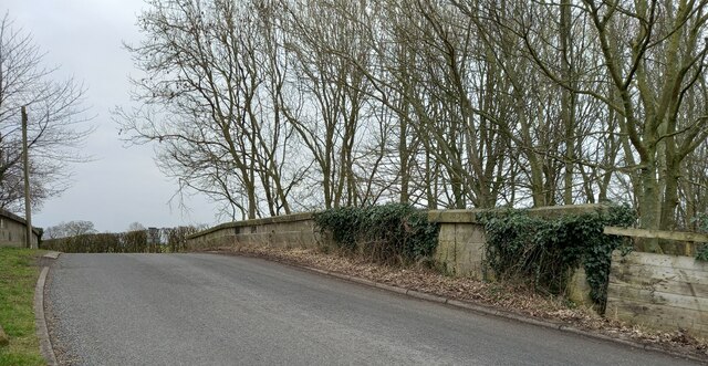
Falls Wood, located in the picturesque region of Yorkshire, England, is a captivating woodland area known for its stunning natural beauty and rich biodiversity. Spanning over a vast expanse, this enchanting forest is a haven for nature enthusiasts and outdoor adventurers alike.

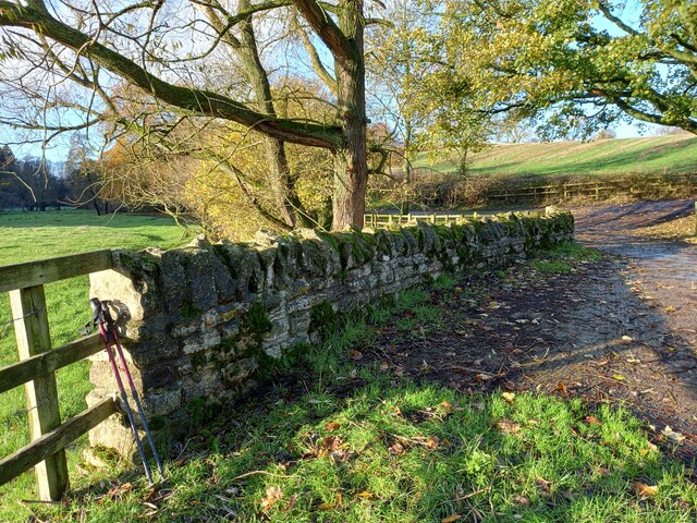
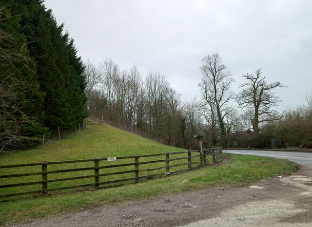
The wood is characterized by its dense canopy of towering trees, predominantly oak and beech, which create a serene and peaceful atmosphere. The forest floor is adorned with a blanket of vibrant wildflowers, adding a splash of color to the lush green surroundings. Meandering through the wood, visitors will discover a network of winding trails that offer a chance to immerse oneself in the tranquility of nature.

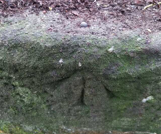
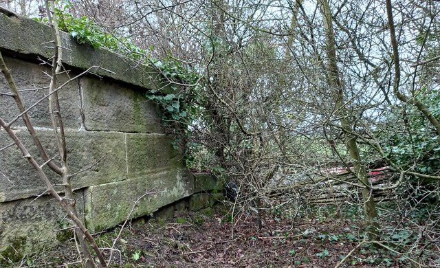
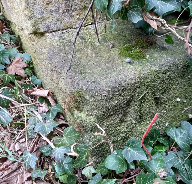
Falls Wood is also renowned for its impressive water features. As the name suggests, several small waterfalls cascade down gentle slopes, forming crystal-clear streams that meander through the wood. These babbling brooks provide a soothing soundtrack to accompany one's exploration of the woodland.

The area is home to a diverse range of wildlife, making it a haven for birdwatchers and animal lovers. Bird species such as woodpeckers, nuthatches, and owls can be spotted flitting through the treetops, while foxes, badgers, and deer roam the forest floor.

Whether one seeks a peaceful walk, a spot of birdwatching, or a chance to reconnect with nature, Falls Wood offers a captivating escape from the hustle and bustle of everyday life. With its breathtaking scenery, abundant wildlife, and tranquil ambiance, it is no wonder that this woodland gem is a beloved destination for nature enthusiasts in Yorkshire.

If you have any feedback on the listing, please let us know in the comments section below.
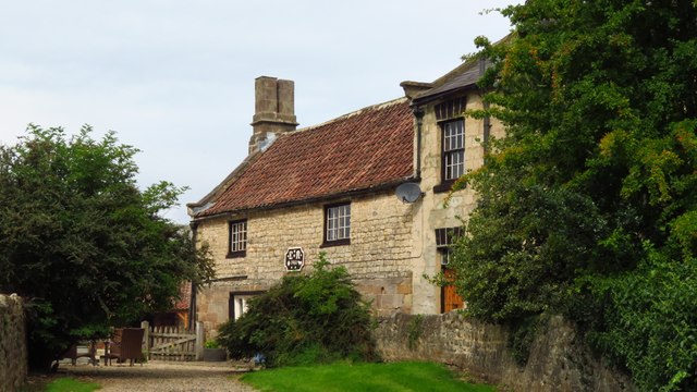
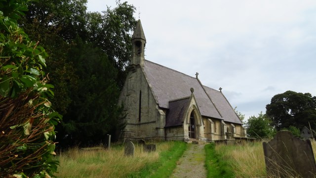
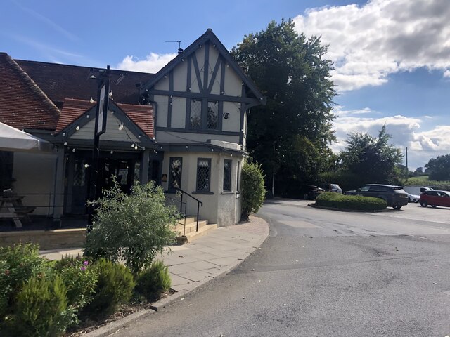
Falls Wood Images

Images are sourced within 2km of 54.062514/-1.5564403 or Grid Reference SE2963. Thanks to Geograph Open Source API. All images are credited.

South Stainley - Manor Farm
South Stainley - St Wilfrid's Church
The Inn, South Stainley Restaurant and accommodation, six miles south of Ripon
The Inn, South Stainley
Restaurant and accommodation, six miles south of Ripon
South Stainley, cliff north of bridleway According to the OS benchmark database there is a benchmark cut into the cliff on the north side of the track. The surrounds is deep in fallen leaves and years of mulch, and it is difficult digging sufficiently deep to find any marks. Nothing was found.
South Stainley, cliff north of bridleway
According to the OS benchmark database there is a benchmark cut into the cliff on the north side of the track. The surrounds is deep in fallen leaves and years of mulch, and it is difficult digging sufficiently deep to find any marks. Nothing was found.
South Stainley, track and bridge According to the OS benchmark database there is a benchmark on the track side wall on the west side of the track. Both the bridge and the wall have been renewed and reshaped over the recent years. The wall where the benchmark was has gone.
South Stainley, track and bridge
According to the OS benchmark database there is a benchmark on the track side wall on the west side of the track. Both the bridge and the wall have been renewed and reshaped over the recent years. The wall where the benchmark was has gone.
South Stainley, disused railway bridge The rivet benchmark is cut into the southern parapet on the west side of the old line, and the cutmark faces north.
South Stainley, disused railway bridge
The rivet benchmark is cut into the southern parapet on the west side of the old line, and the cutmark faces north.
South Stainley, disused railway bridge There is a rivet benchmark cut into the southern parapet on the west side of the old line. The cutmark is cut into the lower stonework at the far end of the bridge.
South Stainley, disused railway bridge
There is a rivet benchmark cut into the southern parapet on the west side of the old line. The cutmark is cut into the lower stonework at the far end of the bridge.
South Stainley, embankment According to the OS benchmark database there was a benchmark cut into the wall of the railway bridge on the east side of the A61. All stonework has been removed and a grassy bank remains.
South Stainley, embankment
According to the OS benchmark database there was a benchmark cut into the wall of the railway bridge on the east side of the A61. All stonework has been removed and a grassy bank remains.
South Stainley, Green Lane railway bridge The rivet benchmark is cut into the west end of the southern parapet of the bridge over the disused railway.
South Stainley, Green Lane railway bridge
The rivet benchmark is cut into the west end of the southern parapet of the bridge over the disused railway.
South Stainley, Green Lane railway bridge There is a rivet benchmark cut into the west end of the southern parapet of the bridge over the disused railway line, Harrogate/Ripon.
South Stainley, Green Lane railway bridge
There is a rivet benchmark cut into the west end of the southern parapet of the bridge over the disused railway line, Harrogate/Ripon.
Milestone - A61 Ripon Road - South Stainley (1) Milepost at the side of the A61 Ripon Road at South Stainley. It is situated just to the North of the former Red Lion Inn.
Ingram Casting:
Inscriptions read:
Leeds 21
Harrogate 6 / Ingram Maker Ripon / 1322 (perhaps 1822)?
Ripon 5 / Ingram Maker Ripon
Links to other views of this Milepost can be seen below.
<a href="https://www.geograph.org.uk/photo/7620035">SE3063 : Milestone - A61 Ripon Road - South Stainley (3)</a>
<a href="https://www.geograph.org.uk/photo/7620034">SE3063 : Milestone - A61 Ripon Road - South Stainley (2)</a>
Milestone - A61 Ripon Road - South Stainley (1)
Milepost at the side of the A61 Ripon Road at South Stainley. It is situated just to the North of the former Red Lion Inn. Ingram Casting: Inscriptions read: Leeds 21 Harrogate 6 / Ingram Maker Ripon / 1322 (perhaps 1822)? Ripon 5 / Ingram Maker Ripon Links to other views of this Milepost can be seen below. SE3063 : Milestone - A61 Ripon Road - South Stainley (3) SE3063 : Milestone - A61 Ripon Road - South Stainley (2)
Milestone - A61 Ripon Road - South Stainley (2) Milepost at the side of the A61 Ripon Road at South Stainley. It is situated just to the North of the former Red Lion Inn.
Ingram Casting:
Inscriptions read:
Leeds 21
Harrogate 6 / Ingram Maker Ripon
Links to other views of this Milepost can be seen below.
<a href="https://www.geograph.org.uk/photo/7620035">SE3063 : Milestone - A61 Ripon Road - South Stainley (3)</a>
<a href="https://www.geograph.org.uk/photo/7620029">SE3063 : Milestone - A61 Ripon Road - South Stainley (1)</a>
Milestone - A61 Ripon Road - South Stainley (2)
Milepost at the side of the A61 Ripon Road at South Stainley. It is situated just to the North of the former Red Lion Inn. Ingram Casting: Inscriptions read: Leeds 21 Harrogate 6 / Ingram Maker Ripon Links to other views of this Milepost can be seen below. SE3063 : Milestone - A61 Ripon Road - South Stainley (3) SE3063 : Milestone - A61 Ripon Road - South Stainley (1)
Milestone - A61 Ripon Road - South Stainley (3) Milepost at the side of the A61 Ripon Road at South Stainley. It is situated just to the North of the former Red Lion Inn.
Ingram Casting:
Inscriptions read:
Leeds 21
Ripon 5 / Ingram Maker Ripon / 1322 (possibly 1822?)
Links to other views of this Milepost can be seen below.
<a href="https://www.geograph.org.uk/photo/7620034">SE3063 : Milestone - A61 Ripon Road - South Stainley (2)</a>
<a href="https://www.geograph.org.uk/photo/7620029">SE3063 : Milestone - A61 Ripon Road - South Stainley (1)</a>
Milestone - A61 Ripon Road - South Stainley (3)
Milepost at the side of the A61 Ripon Road at South Stainley. It is situated just to the North of the former Red Lion Inn. Ingram Casting: Inscriptions read: Leeds 21 Ripon 5 / Ingram Maker Ripon / 1322 (possibly 1822?) Links to other views of this Milepost can be seen below. SE3063 : Milestone - A61 Ripon Road - South Stainley (2) SE3063 : Milestone - A61 Ripon Road - South Stainley (1)
Milepost - A61 Ripon Road - Brearton Junction (1) Milepost on the A61 Ripon Road at the junction of Green Lane heading into Brearton.
Milepost is an Ingram Casting and inscriptions read as follows:
Leeds 20 / Harrogate 5 / Ripon 6
Links to other views of Milepost can be seen below.
<a href="https://www.geograph.org.uk/photo/7620807">SE3061 : Milepost - A61 Ripon Road - Brearton Junction (3)</a>
<a href="https://www.geograph.org.uk/photo/7620805">SE3061 : Milepost - A61 Ripon Road - Brearton Junction (2)</a>
Milepost - A61 Ripon Road - Brearton Junction (1)
Milepost on the A61 Ripon Road at the junction of Green Lane heading into Brearton. Milepost is an Ingram Casting and inscriptions read as follows: Leeds 20 / Harrogate 5 / Ripon 6 Links to other views of Milepost can be seen below. SE3061 : Milepost - A61 Ripon Road - Brearton Junction (3) SE3061 : Milepost - A61 Ripon Road - Brearton Junction (2)
Milepost - A61 Ripon Road - Brearton Junction (2) Milepost on the A61 Ripon Road at the junction of Green Lane heading into Brearton.
Milepost is an Ingram Casting and inscriptions read as follows:
Leeds 20 / Harrogate 5
Links to other views of Milepost can be seen below.
<a href="https://www.geograph.org.uk/photo/7620807">SE3061 : Milepost - A61 Ripon Road - Brearton Junction (3)</a>
<a href="https://www.geograph.org.uk/photo/7620803">SE3061 : Milepost - A61 Ripon Road - Brearton Junction (1)</a>
Milepost - A61 Ripon Road - Brearton Junction (2)
Milepost on the A61 Ripon Road at the junction of Green Lane heading into Brearton. Milepost is an Ingram Casting and inscriptions read as follows: Leeds 20 / Harrogate 5 Links to other views of Milepost can be seen below. SE3061 : Milepost - A61 Ripon Road - Brearton Junction (3) SE3061 : Milepost - A61 Ripon Road - Brearton Junction (1)
Milepost - A61 Ripon Road - Brearton Junction (3) Milepost on the A61 Ripon Road at the junction of Green Lane heading into Brearton.
Milepost is an Ingram Casting and inscriptions read as follows:
Leeds 20 / Ripon 6
Links to other views of Milepost can be seen below.
<a href="https://www.geograph.org.uk/photo/7620805">SE3061 : Milepost - A61 Ripon Road - Brearton Junction (2)</a>
<a href="https://www.geograph.org.uk/photo/7620803">SE3061 : Milepost - A61 Ripon Road - Brearton Junction (1)</a>
Milepost - A61 Ripon Road - Brearton Junction (3)
Milepost on the A61 Ripon Road at the junction of Green Lane heading into Brearton. Milepost is an Ingram Casting and inscriptions read as follows: Leeds 20 / Ripon 6 Links to other views of Milepost can be seen below. SE3061 : Milepost - A61 Ripon Road - Brearton Junction (2) SE3061 : Milepost - A61 Ripon Road - Brearton Junction (1)
Village Church The village Church of St Wilfred located in South Stainley. A typical old style church. Extremely steep steps up to the church entry from the road.This is passed along the route of the Ripon Rowel walk.
Village Church
The village Church of St Wilfred located in South Stainley. A typical old style church. Extremely steep steps up to the church entry from the road.This is passed along the route of the Ripon Rowel walk.
Farmland, Hill House Farm
Show me another place!

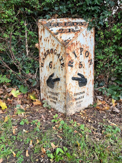
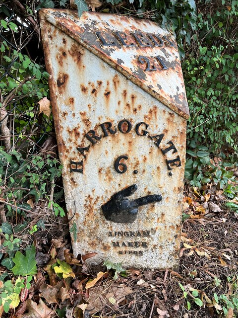
Falls Wood is located at Grid Ref: SE2963 (Lat: 54.062514, Lng: -1.5564403)

Division: West Riding

Administrative County: North Yorkshire

District: Harrogate

Police Authority: North Yorkshire

What 3 Words

///logic.another.respected. Near Harrogate, North Yorkshire

Related Wikis

South Stainley

South Stainley is a small village in the Harrogate District, in the county of North Yorkshire, England. Nearby settlements include the city of Ripon, the...

Markington

Markington is a village in the Harrogate district, in the English county of North Yorkshire. The population of the civil parish (including Markenfield...

Wormald Green railway station

Wormald Green railway station served the village of Wormald Green, Harrogate, England from 1848 to 1964 on the Leeds-Northallerton Railway. == History... ==

Wormald Green

Wormald Green is a village in the civil parish of Markington with Wallerthwaite in the district of Harrogate, North Yorkshire, England. In 2016, Harrogate...

Nidd Hall

Nidd Hall was a 19th-century country house, now a hotel, in the village of Nidd, North Yorkshire, England. It is a Grade II listed building. It is constructed...

Ripley, North Yorkshire

Ripley is a town and civil parish in North Yorkshire in England, a few miles north of Harrogate on the A61 road towards Ripon. The town name derives from...

Ripley Castle

Ripley Castle is a Grade I listed 14th-century country house in Ripley, North Yorkshire, England, 3 miles (4.8 km) north of Harrogate.The house is built...

Ripley Town Hall, North Yorkshire

Ripley Town Hall is a municipal building in Main Street, Ripley, North Yorkshire, England. The structure, which is used as an events venue and as a post...

Nearby Amenities

Located within 500m of 54.062514,-1.5564403
Power: tower
Lat/Long: 54.0608419/-1.5517557
The data included in this document is from www.openstreetmap.org. The data is made available under ODbL.

Have you been to Falls Wood?

Leave your review of Falls Wood below (or comments, questions and feedback).