Crabtree Lawn

Wood, Forest in Hampshire New Forest

England

Crabtree Lawn

Garden at White Hart Public House
Garden at White Hart Public House Credit: Paul Collins

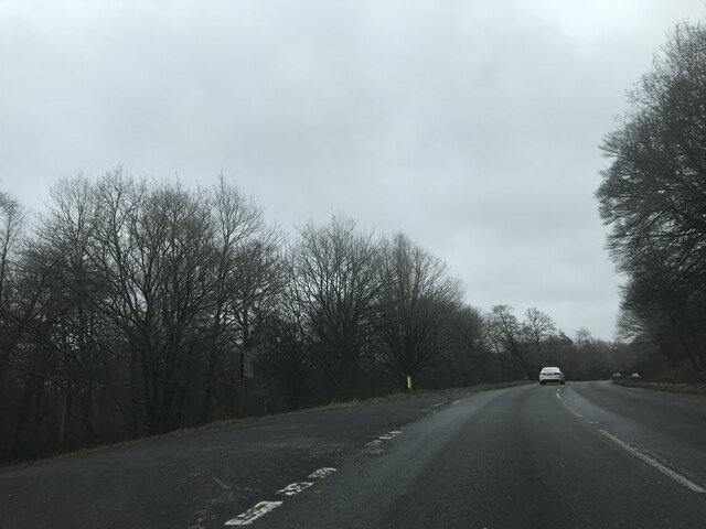
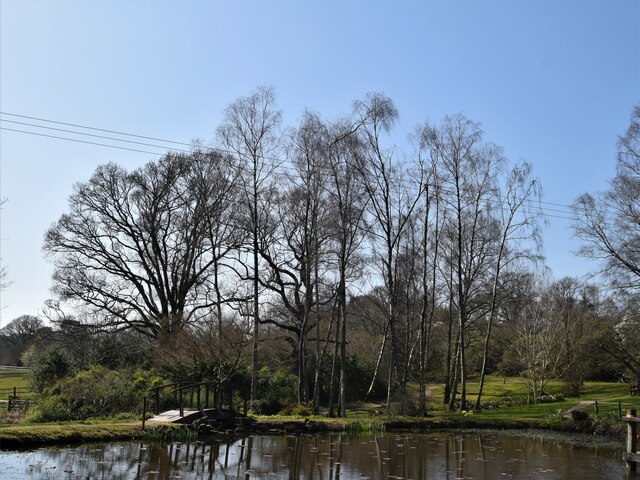
Crabtree Lawn is a picturesque wooded area located in Hampshire, England. Situated within a dense forest, this serene destination offers a tranquil respite from the hustle and bustle of city life. With its lush greenery and towering trees, Crabtree Lawn provides a haven for nature lovers and outdoor enthusiasts alike.

The forest surrounding Crabtree Lawn is home to a diverse range of flora and fauna, making it an ideal spot for wildlife enthusiasts. Visitors can expect to spot various species of birds, squirrels, and rabbits while exploring the area. The woodland floor is carpeted with a vibrant array of wildflowers, adding a touch of color to the natural beauty of the landscape.

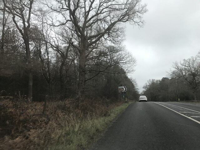
A network of well-maintained trails winds through the forest, offering visitors the opportunity to explore the area on foot or by bike. These trails provide stunning views of the surrounding woodland, with occasional glimpses of a babbling brook that meanders its way through the area. The peaceful sound of running water adds to the overall tranquility of the setting.

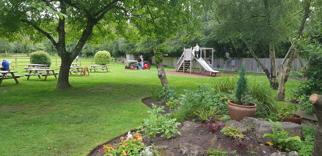
Crabtree Lawn is a popular destination for families, as it offers ample space for picnics and outdoor activities. A designated picnic area provides a scenic spot for visitors to enjoy a leisurely lunch amidst the beauty of nature. Children can also take advantage of the open spaces to play games and let their imagination run wild.

Overall, Crabtree Lawn is a hidden gem in Hampshire, offering visitors a chance to connect with nature and enjoy the serenity of a pristine forest setting. Whether it's a leisurely stroll, a family picnic, or birdwatching, this idyllic woodland destination has something to offer for everyone seeking a peaceful escape.

If you have any feedback on the listing, please let us know in the comments section below.

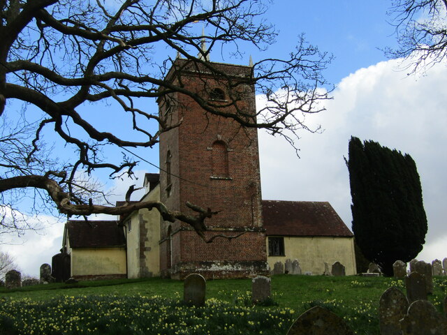
Crabtree Lawn Images

Images are sourced within 2km of 50.908548/-1.587045 or Grid Reference SU2912. Thanks to Geograph Open Source API. All images are credited.

Garden at White Hart Public House
Sir Arthur Conan Doyle's Grave Sir Arthur Conan Doyle and his wife's grave All Saints Church
Sir Arthur Conan Doyle's Grave
Sir Arthur Conan Doyle and his wife's grave All Saints Church
Signage - M27 southbound
Car Park off A337 - southbound
Junction on A337 southbound
Signage - A337 southbound
Signage - A31 northbound
All Saints, Minstead
The Trusty Servant Inn
The Pond Furzey Gardens
The Pond
Furzey Gardens
Minstead -Trusty Servant Pub Sign The unusual village pub sign at Minstead, "The Trusty Servant", portrays an allegorical servant - the picture is a copy of a painting in Winchester College where servants attended to rich scholars.
<span class="nowrap"><a title="www.minstead.org.uk" rel="nofollow ugc noopener" href="http://www.minstead.org.uk">Link</a><img style="margin-left:2px;" alt="External link" title="External link - shift click to open in new window" src="https://s1.geograph.org.uk/img/external.png" width="10" height="10"/></span>
Minstead -Trusty Servant Pub Sign
The unusual village pub sign at Minstead, "The Trusty Servant", portrays an allegorical servant - the picture is a copy of a painting in Winchester College where servants attended to rich scholars. LinkExternal link
Minstead - The Trusty Servant The unusual pub sign at Minstead's "The Trusty Servant" portrays an allegorical servant - the picture is a copy of a painting in Winchester College where servants attended to rich scholars.
<span class="nowrap"><a title="www.minstead.org.uk" rel="nofollow ugc noopener" href="http://www.minstead.org.uk">Link</a><img style="margin-left:2px;" alt="External link" title="External link - shift click to open in new window" src="https://s1.geograph.org.uk/img/external.png" width="10" height="10"/></span>
<span class="nowrap"><a title="www.thetrustyservant.co.uk" rel="nofollow ugc noopener" href="http://www.thetrustyservant.co.uk">Link</a><img style="margin-left:2px;" alt="External link" title="External link - shift click to open in new window" src="https://s1.geograph.org.uk/img/external.png" width="10" height="10"/></span>
Minstead - The Trusty Servant
The unusual pub sign at Minstead's "The Trusty Servant" portrays an allegorical servant - the picture is a copy of a painting in Winchester College where servants attended to rich scholars. LinkExternal link LinkExternal link
Minstead - Stocks This double-seater stocks on the village green at Minstead is located outside the "Trusty Servant" inn. 
<span class="nowrap"><a title="www.minstead.org.uk" rel="nofollow ugc noopener" href="http://www.minstead.org.uk">Link</a><img style="margin-left:2px;" alt="External link" title="External link - shift click to open in new window" src="https://s1.geograph.org.uk/img/external.png" width="10" height="10"/></span>
<span class="nowrap"><a title="www.thetrustyservant.co.uk" rel="nofollow ugc noopener" href="http://www.thetrustyservant.co.uk">Link</a><img style="margin-left:2px;" alt="External link" title="External link - shift click to open in new window" src="https://s1.geograph.org.uk/img/external.png" width="10" height="10"/></span>
Minstead - Stocks
This double-seater stocks on the village green at Minstead is located outside the "Trusty Servant" inn. LinkExternal link LinkExternal link
Minstead - Hampshire Signpost at a crossroads in the heart of Minstead village. The post carries a roundel finial and the fingerposts point to Cadnam, Newtown and Stoney Cross. More modern signs below point to Furzey Gardens and to a Study Centre.
<span class="nowrap"><a title="www.minstead.org.uk" rel="nofollow ugc noopener" href="http://www.minstead.org.uk">Link</a><img style="margin-left:2px;" alt="External link" title="External link - shift click to open in new window" src="https://s1.geograph.org.uk/img/external.png" width="10" height="10"/></span>
Minstead - Hampshire
Signpost at a crossroads in the heart of Minstead village. The post carries a roundel finial and the fingerposts point to Cadnam, Newtown and Stoney Cross. More modern signs below point to Furzey Gardens and to a Study Centre. LinkExternal link
Minstead - All Saints Church The prominent brick tower was built in 1774 but the building does have some 13th century fragments plus a Norman font.
<span class="nowrap"><a title="www.minstead.org.uk" rel="nofollow ugc noopener" href="http://www.minstead.org.uk">Link</a><img style="margin-left:2px;" alt="External link" title="External link - shift click to open in new window" src="https://s1.geograph.org.uk/img/external.png" width="10" height="10"/></span>
Minstead - All Saints Church
The prominent brick tower was built in 1774 but the building does have some 13th century fragments plus a Norman font. LinkExternal link
Minstead - Parish Church The prominent brick tower of All Saints was built in 1774 but the building does have some 13th century fragments plus a Norman font.
<span class="nowrap"><a title="www.minstead.org.uk" rel="nofollow ugc noopener" href="http://www.minstead.org.uk">Link</a><img style="margin-left:2px;" alt="External link" title="External link - shift click to open in new window" src="https://s1.geograph.org.uk/img/external.png" width="10" height="10"/></span>
Minstead - Parish Church
The prominent brick tower of All Saints was built in 1774 but the building does have some 13th century fragments plus a Norman font. LinkExternal link
Minstead - Pulpit Inside the historic All Saints Church is a rare 3-decker 17th century pulpit - for sermons, preaching and for amens. In front of it is a Norman font which had been hidden from puritans.
<span class="nowrap"><a title="www.minstead.org.uk" rel="nofollow ugc noopener" href="http://www.minstead.org.uk">Link</a><img style="margin-left:2px;" alt="External link" title="External link - shift click to open in new window" src="https://s1.geograph.org.uk/img/external.png" width="10" height="10"/></span>
Minstead - Pulpit
Inside the historic All Saints Church is a rare 3-decker 17th century pulpit - for sermons, preaching and for amens. In front of it is a Norman font which had been hidden from puritans. LinkExternal link
Show me another place!

Crabtree Lawn is located at Grid Ref: SU2912 (Lat: 50.908548, Lng: -1.587045)

Administrative County: Hampshire

District: New Forest

Police Authority: Hampshire

What 3 Words

///spice.pinks.soaps. Near Cadnam, Hampshire

Related Wikis

Cadnam

Cadnam is a village situated in Hampshire, England, within the boundaries of the New Forest National Park. The village has existed since the medieval period...

Minstead Lodge

Minstead Lodge in Hampshire is a building of historical significance built in about 1830 and is Grade II listed on the English Heritage Register. Today...

Bartley Lodge

Bartley Lodge is a country house near Cadnam in Hampshire, England, within the boundaries of the New Forest National Park. It was built in the 18th century...
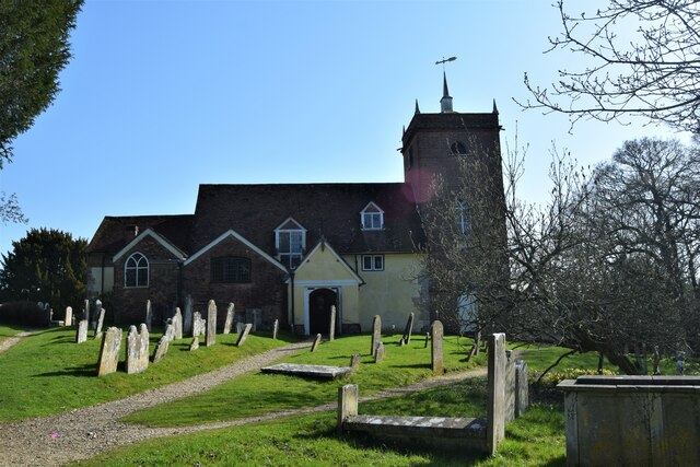
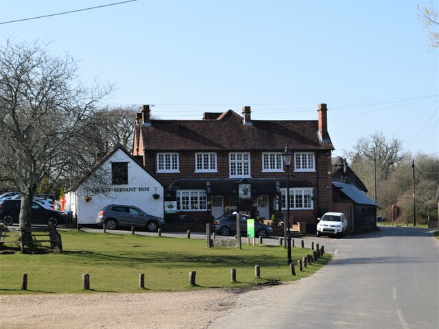
Minstead

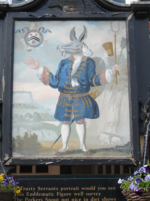
Minstead is a small village and civil parish in the New Forest, Hampshire, about 2 miles (3.2 km) north of Lyndhurst. There is a shop and a pub, the Trusty...

Bartley, Hampshire

Bartley is a village in Hampshire, England, within the boundaries of the New Forest National Park, seven miles (11 km) west of Southampton. == Overview... ==

Brook, New Forest

Brook is a hamlet in the civil parish of Bramshaw, in Hampshire, England. It lies just inside the New Forest. The hamlet contains a mix of 18th and 19th...

Upper Canterton

Upper Canterton is a village in Hampshire, England, located at 50°54′36″N 1°37′24″W. It is near Minstead. == References == The geographic coordinates are...

Copythorne

Copythorne is a village and civil parish in Hampshire, England, within the boundaries of the New Forest National Park. == Overview == Copythorne is in...

Nearby Amenities

Located within 500m of 50.908548,-1.587045
Created By: osmeditor2
Lat/Long: 50.9072722/-1.5823571
Barrier: cattle_grid
Source: OS OpenData StreetView
Lat/Long: 50.9089812/-1.5805597
Barrier: cattle_grid
Source: OS OpenData StreetView
Lat/Long: 50.9085605/-1.5814686
Crabtree Lawn
Place: locality
Lat/Long: 50.9086415/-1.5881944
Shave Hat
Place: locality
Lat/Long: 50.9122274/-1.5856754
Yolsham Hill
Place: locality
Lat/Long: 50.9068134/-1.5834822
Ford: yes
Lat/Long: 50.9103739/-1.5915666
Ford: yes
Lat/Long: 50.9085581/-1.5892943
The data included in this document is from www.openstreetmap.org. The data is made available under ODbL.

Have you been to Crabtree Lawn?

Leave your review of Crabtree Lawn below (or comments, questions and feedback).