French's Bushes

Wood, Forest in Hampshire New Forest

England

French's Bushes

Signage - M27 southbound
Signage - M27 southbound Credit: Dave Thompson

French's Bushes is a charming woodland area located in the picturesque county of Hampshire, England. Nestled in the heart of the Hampshire countryside, this peaceful retreat offers visitors a unique opportunity to immerse themselves in the beauty of nature.

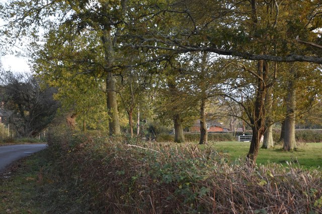
Covering an area of approximately 100 acres, French's Bushes is predominantly made up of dense woodland, dominated by a variety of native trees such as oak, beech, and birch. The forest floor is adorned with a rich carpet of wildflowers, creating a vibrant and enchanting atmosphere throughout the year.

The woodland is crisscrossed with a network of well-maintained footpaths, allowing visitors to explore the area at their own pace. These paths lead to hidden gems, including a tranquil pond and a babbling brook, providing a refreshing escape from the hustle and bustle of everyday life.

In addition to its natural beauty, French's Bushes is also home to a diverse range of wildlife. Keen observers may be fortunate enough to spot a variety of bird species, such as woodpeckers and owls, as well as small mammals like squirrels and rabbits. The area also boasts a healthy population of deer, adding to the sense of wilderness and natural abundance.

French's Bushes is a popular destination for nature lovers, walkers, and families seeking a peaceful day out. With its idyllic setting, diverse flora and fauna, and well-maintained trails, it provides a haven for those seeking solace in the embrace of nature.

If you have any feedback on the listing, please let us know in the comments section below.

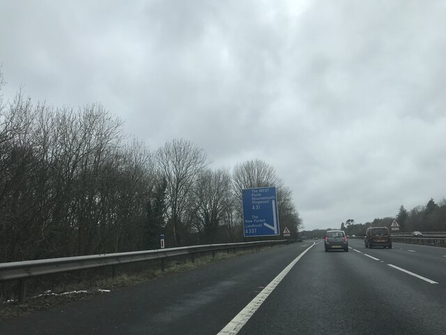
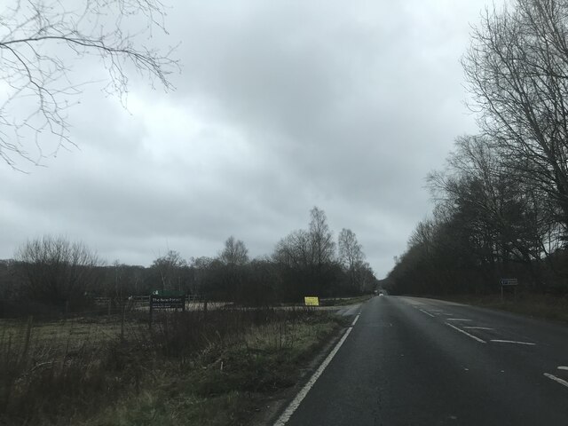
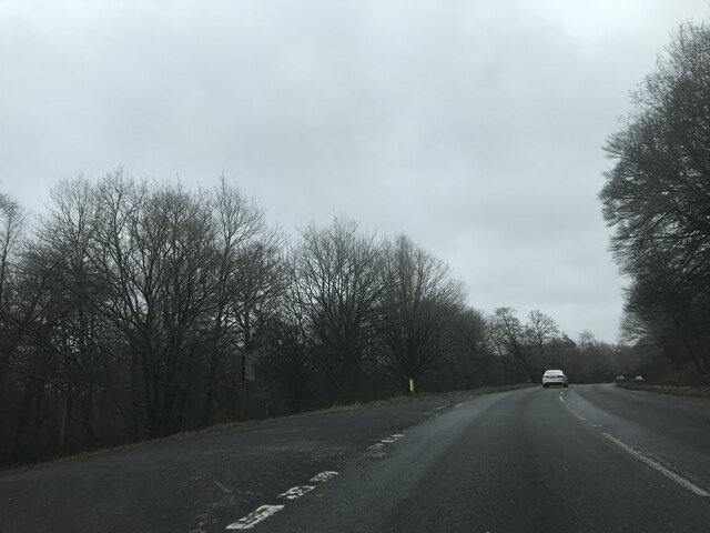
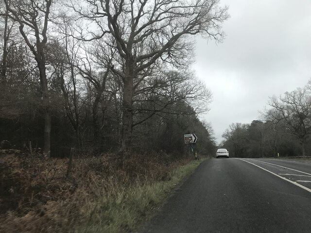
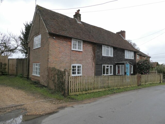
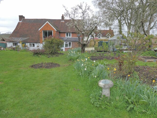
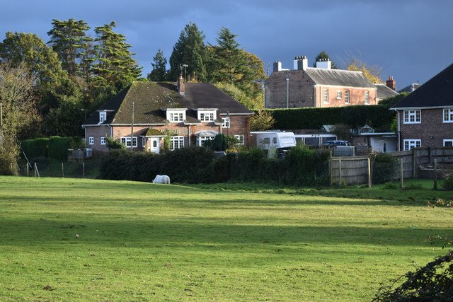
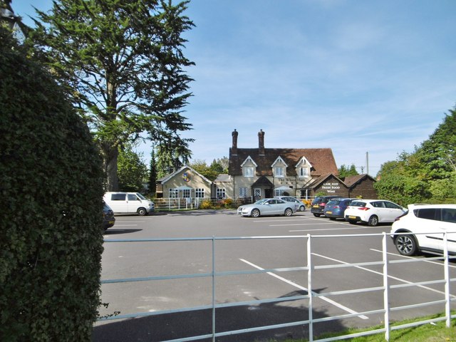
French's Bushes Images

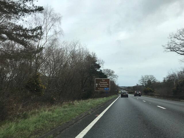
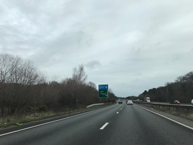
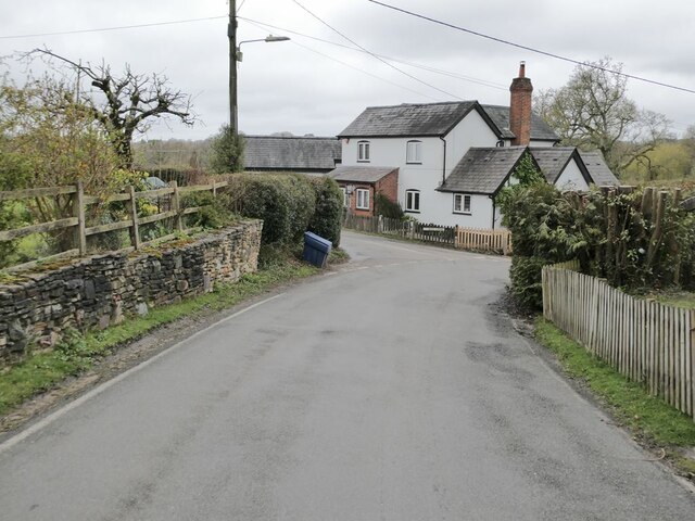
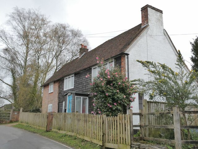
Images are sourced within 2km of 50.908528/-1.5764634 or Grid Reference SU2912. Thanks to Geograph Open Source API. All images are credited.

Signage - M27 southbound
Car Park off A337 - southbound
Junction on A337 southbound
Signage - A337 southbound
Signage - A31 northbound
Junction with London Minstead Bull Lane to the left, Seamans Lane to the right.
Junction with London Minstead
Bull Lane to the left, Seamans Lane to the right.
Hilltop Farmhouse Cottage in London Minstead.
Hilltop Farmhouse
Cottage in London Minstead.
Hilltop Farmhouse Cottage in London Minstead.
Hilltop Farmhouse
Cottage in London Minstead.
Rear of Hilltop Farmhouse Cottage in London Minstead.
Rear of Hilltop Farmhouse
Cottage in London Minstead.
Haydon Tyres, Cadnam Bright afternoon sunlight on 1 November, but it was raining hard soon afterwards.
Haydon Tyres, Cadnam
Bright afternoon sunlight on 1 November, but it was raining hard soon afterwards.
Last of the light on trees beside Lyndhurst Road
November afternoon sunlight, Minstead The prominent sunlit house on the right is The Old Rectory.
November afternoon sunlight, Minstead
The prominent sunlit house on the right is The Old Rectory.
Cadnam, White Hart Free House on Romsey Road. Central bar, with drinking at eating areas on three sides; garden. Cask ales on offer at my visit: Brunning & Price Original, Flack's Double, Hop Back GB, Itchen Valley Bulgarum. The pub also stocks a wide range of gins.
Cadnam, White Hart
Free House on Romsey Road. Central bar, with drinking at eating areas on three sides; garden. Cask ales on offer at my visit: Brunning & Price Original, Flack's Double, Hop Back GB, Itchen Valley Bulgarum. The pub also stocks a wide range of gins.
Northbound A31 near Levey Hill The A31 is a 87 mile long trunk road from Guildford to Bere Regis. It passes through or close to Farnham, Winchester and Ringwood.
<span class="nowrap"><a title="http://www.sabre-roads.org.uk/wiki/index.php?title=A31" rel="nofollow ugc noopener" href="http://www.sabre-roads.org.uk/wiki/index.php?title=A31">Link</a><img style="margin-left:2px;" alt="External link" title="External link - shift click to open in new window" src="https://s1.geograph.org.uk/img/external.png" width="10" height="10"/></span> 
Wikipedia: <span class="nowrap"><a title="http://en.wikipedia.org/wiki/A31_road" rel="nofollow ugc noopener" href="http://en.wikipedia.org/wiki/A31_road">Link</a><img style="margin-left:2px;" alt="External link" title="External link - shift click to open in new window" src="https://s1.geograph.org.uk/img/external.png" width="10" height="10"/></span>
Northbound A31 near Levey Hill
The A31 is a 87 mile long trunk road from Guildford to Bere Regis. It passes through or close to Farnham, Winchester and Ringwood. LinkExternal link Wikipedia: LinkExternal link
Northbound A31 near the Start of the M27 The A31 is a 87 mile long trunk road from Guildford to Bere Regis. It passes through or close to Farnham, Winchester and Ringwood.
<span class="nowrap"><a title="http://www.sabre-roads.org.uk/wiki/index.php?title=A31" rel="nofollow ugc noopener" href="http://www.sabre-roads.org.uk/wiki/index.php?title=A31">Link</a><img style="margin-left:2px;" alt="External link" title="External link - shift click to open in new window" src="https://s1.geograph.org.uk/img/external.png" width="10" height="10"/></span> 
Wikipedia: <span class="nowrap"><a title="http://en.wikipedia.org/wiki/A31_road" rel="nofollow ugc noopener" href="http://en.wikipedia.org/wiki/A31_road">Link</a><img style="margin-left:2px;" alt="External link" title="External link - shift click to open in new window" src="https://s1.geograph.org.uk/img/external.png" width="10" height="10"/></span>
Northbound A31 near the Start of the M27
The A31 is a 87 mile long trunk road from Guildford to Bere Regis. It passes through or close to Farnham, Winchester and Ringwood. LinkExternal link Wikipedia: LinkExternal link
Northbound A31, Exit Sliproad at Start of M27 The A31 is a 87 mile long trunk road from Guildford to Bere Regis. It passes through or close to Farnham, Winchester and Ringwood.
<span class="nowrap"><a title="http://www.sabre-roads.org.uk/wiki/index.php?title=A31" rel="nofollow ugc noopener" href="http://www.sabre-roads.org.uk/wiki/index.php?title=A31">Link</a><img style="margin-left:2px;" alt="External link" title="External link - shift click to open in new window" src="https://s1.geograph.org.uk/img/external.png" width="10" height="10"/></span> 
Wikipedia: <span class="nowrap"><a title="http://en.wikipedia.org/wiki/A31_road" rel="nofollow ugc noopener" href="http://en.wikipedia.org/wiki/A31_road">Link</a><img style="margin-left:2px;" alt="External link" title="External link - shift click to open in new window" src="https://s1.geograph.org.uk/img/external.png" width="10" height="10"/></span>
Northbound A31, Exit Sliproad at Start of M27
The A31 is a 87 mile long trunk road from Guildford to Bere Regis. It passes through or close to Farnham, Winchester and Ringwood. LinkExternal link Wikipedia: LinkExternal link
The A31 approaching Cadnam
Show me another place!

French's Bushes is located at Grid Ref: SU2912 (Lat: 50.908528, Lng: -1.5764634)

Administrative County: Hampshire

District: New Forest

Police Authority: Hampshire

What 3 Words

///essays.results.stung. Near Cadnam, Hampshire

Related Wikis

Cadnam

Cadnam is a village situated in Hampshire, England, within the boundaries of the New Forest National Park. The village has existed since the medieval period...

Bartley Lodge

Bartley Lodge is a country house near Cadnam in Hampshire, England, within the boundaries of the New Forest National Park. It was built in the 18th century...

Bartley, Hampshire

Bartley is a village in Hampshire, England, within the boundaries of the New Forest National Park, seven miles (11 km) west of Southampton. == Overview... ==

Minstead Lodge

Minstead Lodge in Hampshire is a building of historical significance built in about 1830 and is Grade II listed on the English Heritage Register. Today...

Nearby Amenities

Located within 500m of 50.908528,-1.5764634
Created By: osmeditor2
Lat/Long: 50.9072722/-1.5823571
Barrier: cattle_grid
Source: OS OpenData StreetView
Lat/Long: 50.9089812/-1.5805597
Barrier: cattle_grid
Source: OS OpenData StreetView
Lat/Long: 50.9085605/-1.5814686
Parking
Type: layby
Lat/Long: 50.905161/-1.5740952
Lamb's Corner
Place: locality
Lat/Long: 50.9095641/-1.5784576
The data included in this document is from www.openstreetmap.org. The data is made available under ODbL.

Have you been to French's Bushes?

Leave your review of French's Bushes below (or comments, questions and feedback).