Brown Cross Plantation
Wood, Forest in Derbyshire South Derbyshire
England
Brown Cross Plantation

Brown Cross Plantation is a picturesque woodland located in Derbyshire, England. Covering an area of approximately 50 hectares, it is a popular destination for nature enthusiasts and hikers alike. The plantation is situated in the southern part of the county, near the charming village of Brown Cross.
The woodland comprises mainly of mature oak trees, interspersed with a variety of other native species such as birch, beech, and hawthorn. These towering trees create a dense canopy that provides shade and shelter for a diverse range of wildlife. Visitors can expect to spot numerous bird species, including woodpeckers, thrushes, and finches, as well as mammals like squirrels, foxes, and deer.
Traversing the plantation is a network of well-maintained trails, allowing visitors to explore the woodland at their own pace. These paths wind through the undulating terrain, offering breathtaking views of the surrounding countryside. In spring, the forest floor comes alive with a vibrant carpet of bluebells, creating a stunning spectacle for visitors to behold.
Brown Cross Plantation is managed by the local forestry commission, ensuring the preservation of its natural beauty and biodiversity. The site also serves as an educational resource, with informative signs dotted along the trails providing interesting facts about the woodland ecosystem.
Overall, Brown Cross Plantation offers a tranquil retreat for those seeking to immerse themselves in nature. Its scenic beauty, abundant wildlife, and well-maintained trails make it a must-visit destination for nature lovers and outdoor enthusiasts in Derbyshire.
If you have any feedback on the listing, please let us know in the comments section below.
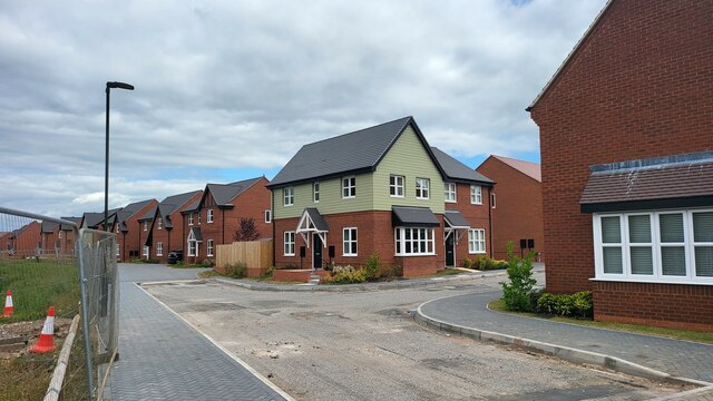
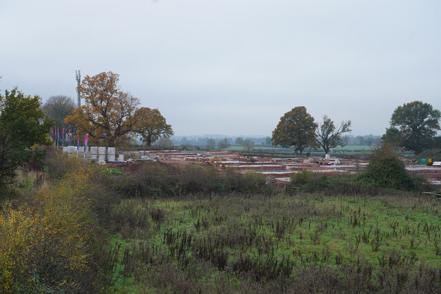
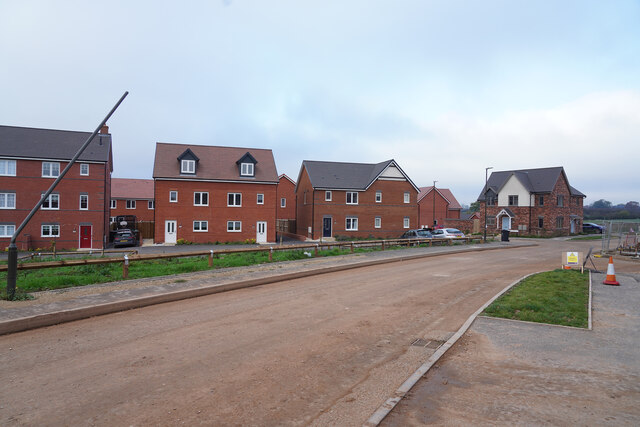
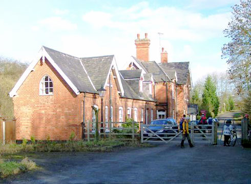
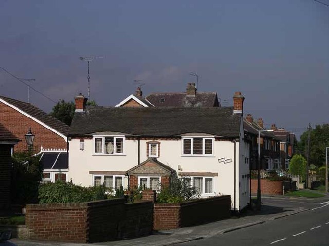
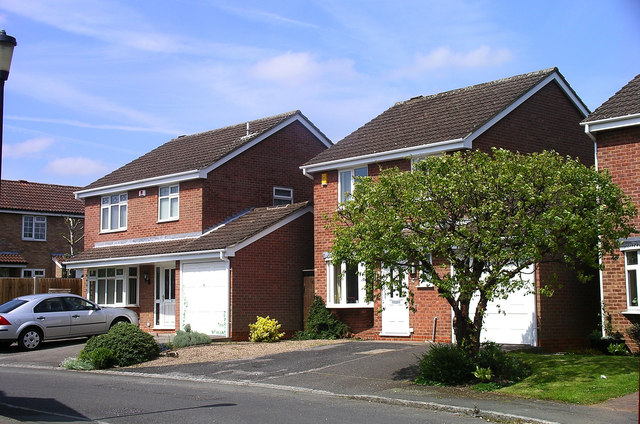
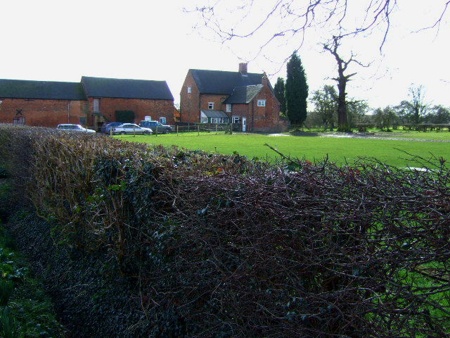
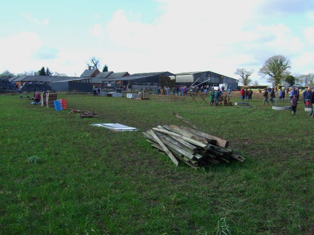
Brown Cross Plantation Images
Images are sourced within 2km of 52.90504/-1.557135 or Grid Reference SK2934. Thanks to Geograph Open Source API. All images are credited.


Brown Cross Plantation is located at Grid Ref: SK2934 (Lat: 52.90504, Lng: -1.557135)
Administrative County: Derbyshire
District: South Derbyshire
Police Authority: Derbyshire
What 3 Words
///cattle.glow.value. Near Etwall, Derbyshire
Nearby Locations
Related Wikis

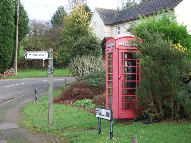
Mickleover
Mickleover is a large suburban village of Derby, in Derbyshire, England. It is 2 miles (3.2 km) west of Derby city centre, 10 miles (16 km) northeast of...
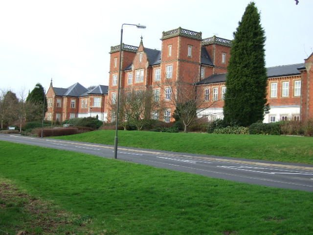
Pastures Hospital
Pastures Hospital was a mental health facility at Mickleover in Derbyshire, England. The church is a Grade II listed building. == History == The hospital...
Bearwardcote
Bearwardcote is a civil parish in the South Derbyshire district of Derbyshire, England. According to the 2001 census it had a population of 26. The hamlet...

Mickleover railway station
Mickleover railway station is a disused railway station which served the village of Mickleover, Derbyshire, England (now part of the city of Derby). It...
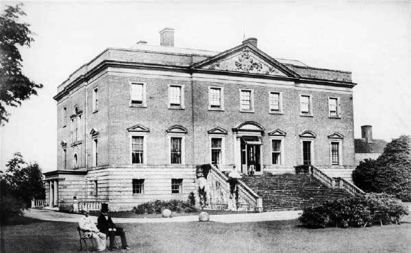
Radbourne Hall
Radbourne Hall is an 18th-century Georgian country house, the seat of the Chandos-Pole family, at Radbourne, Derbyshire. It is a Grade I listed building...
Burnaston
Burnaston is a village and civil parish in the South Derbyshire district of Derbyshire, England. It is about 4.5 miles (7.2 km) southwest of the city of...

St Andrew's Church, Radbourne
St Andrew's Church, Radbourne is a Grade I listed parish church in the Church of England in Radbourne, Derbyshire. == History == The church dates from...

The Millennium Centre
The Millennium Centre was located in Littleover, Derby. It was a post-16 sixth form centre, run jointly by Derby Moor Community Sports College Trust and...
Nearby Amenities
Located within 500m of 52.90504,-1.557135Have you been to Brown Cross Plantation?
Leave your review of Brown Cross Plantation below (or comments, questions and feedback).