Alder Wood
Wood, Forest in Yorkshire Harrogate
England
Alder Wood
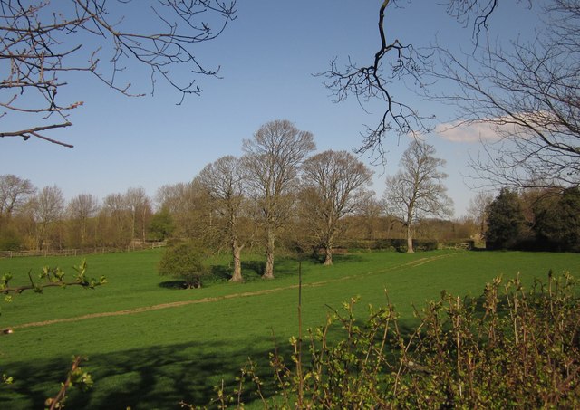
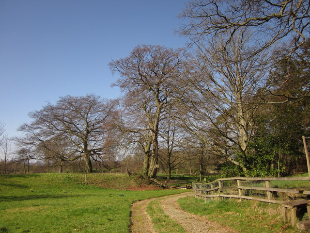
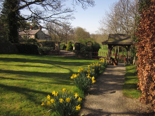
Alder Wood is a picturesque forest located in the county of Yorkshire, England. Spanning over a vast area, the wood is renowned for its stunning natural beauty and rich biodiversity, attracting nature enthusiasts and visitors from far and wide. Situated amidst rolling hills and charming countryside, Alder Wood provides a serene and tranquil environment for all who wander through its pathways.
The wood is predominantly composed of alder trees, which lend their name to the forest. These trees, with their distinctive silver-grey bark and beautiful green leaves, create a captivating sight throughout the year. In spring, the wood is adorned with vibrant blossoms, while the autumn months transform it into a kaleidoscope of warm colors as the leaves change.
Alder Wood is home to a diverse range of wildlife, making it a haven for nature lovers. The forest provides a habitat for various bird species, including woodpeckers, owls, and songbirds, making it a popular spot for birdwatching. Squirrels can be spotted scurrying among the treetops, while deer and rabbits roam freely across the forest floor.
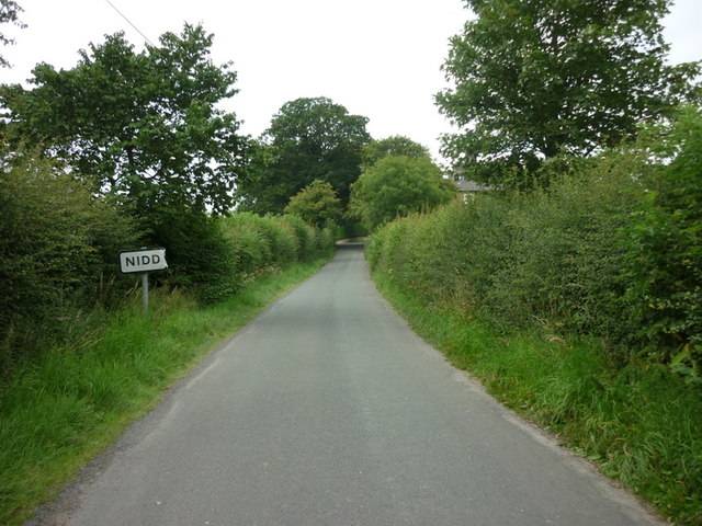
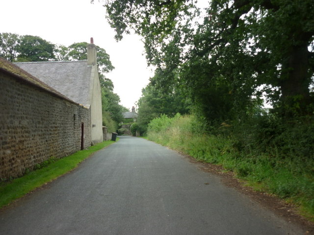
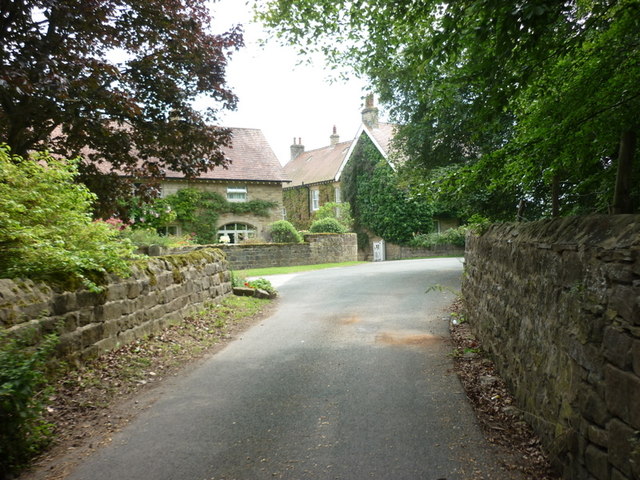
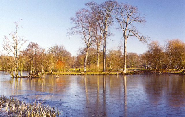
The wood offers numerous trails and paths, allowing visitors to explore its natural wonders at their own pace. Hiking and walking enthusiasts can enjoy the scenic routes, while families can have picnics in the designated areas. The forest also boasts a small lake, providing a tranquil spot for fishing or simply enjoying the peaceful ambience.
Overall, Alder Wood in Yorkshire is a haven of natural beauty and tranquility, offering a much-needed escape from the hustle and bustle of everyday life. Its diverse flora and fauna, coupled with its scenic trails, make it an ideal destination for nature lovers and those seeking solace in the great outdoors.
If you have any feedback on the listing, please let us know in the comments section below.
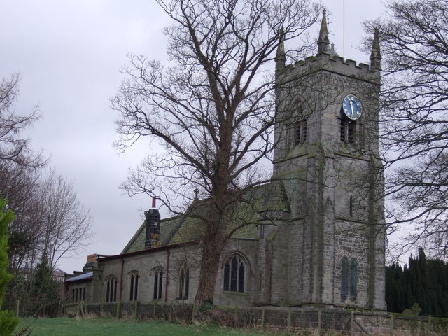
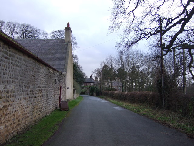
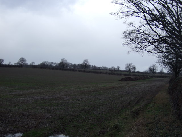
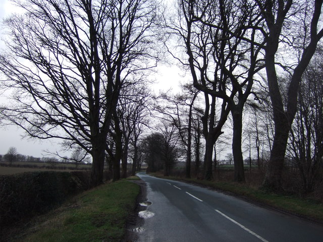
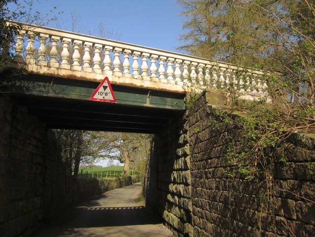
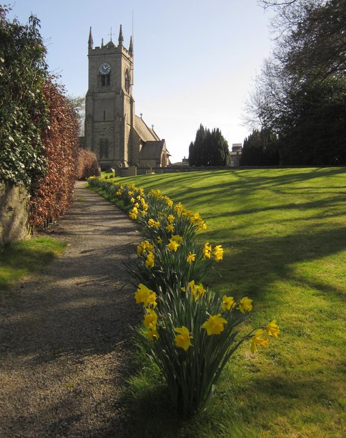
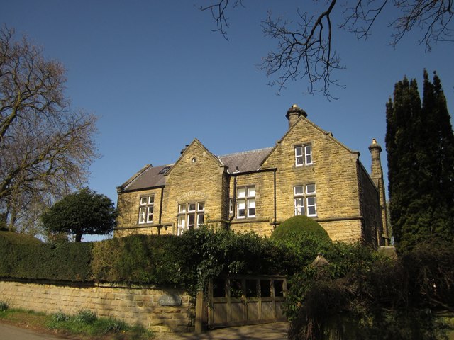
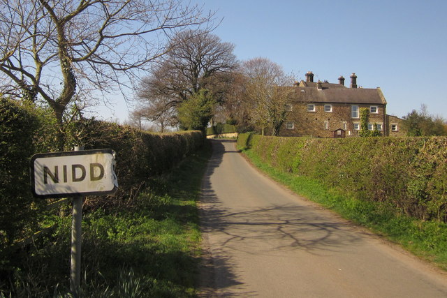
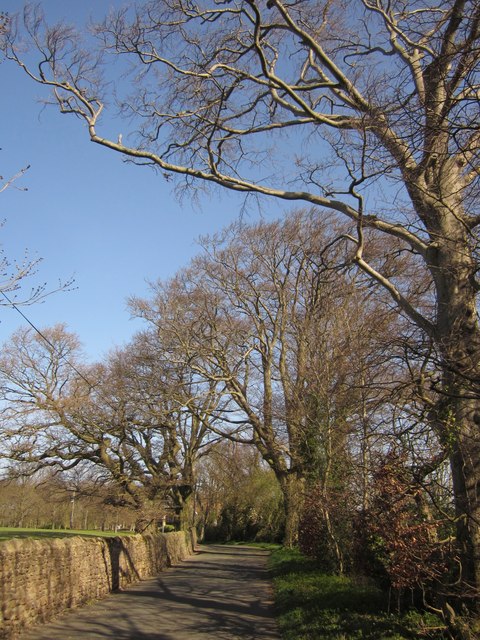
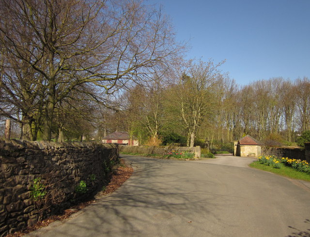
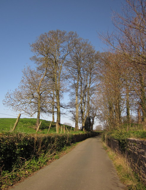
Alder Wood Images
Images are sourced within 2km of 54.036217/-1.5589494 or Grid Reference SE2860. Thanks to Geograph Open Source API. All images are credited.
Alder Wood is located at Grid Ref: SE2860 (Lat: 54.036217, Lng: -1.5589494)
Division: West Riding
Administrative County: North Yorkshire
District: Harrogate
Police Authority: North Yorkshire
What 3 Words
///marathons.bills.partner. Near Harrogate, North Yorkshire
Nearby Locations
Related Wikis
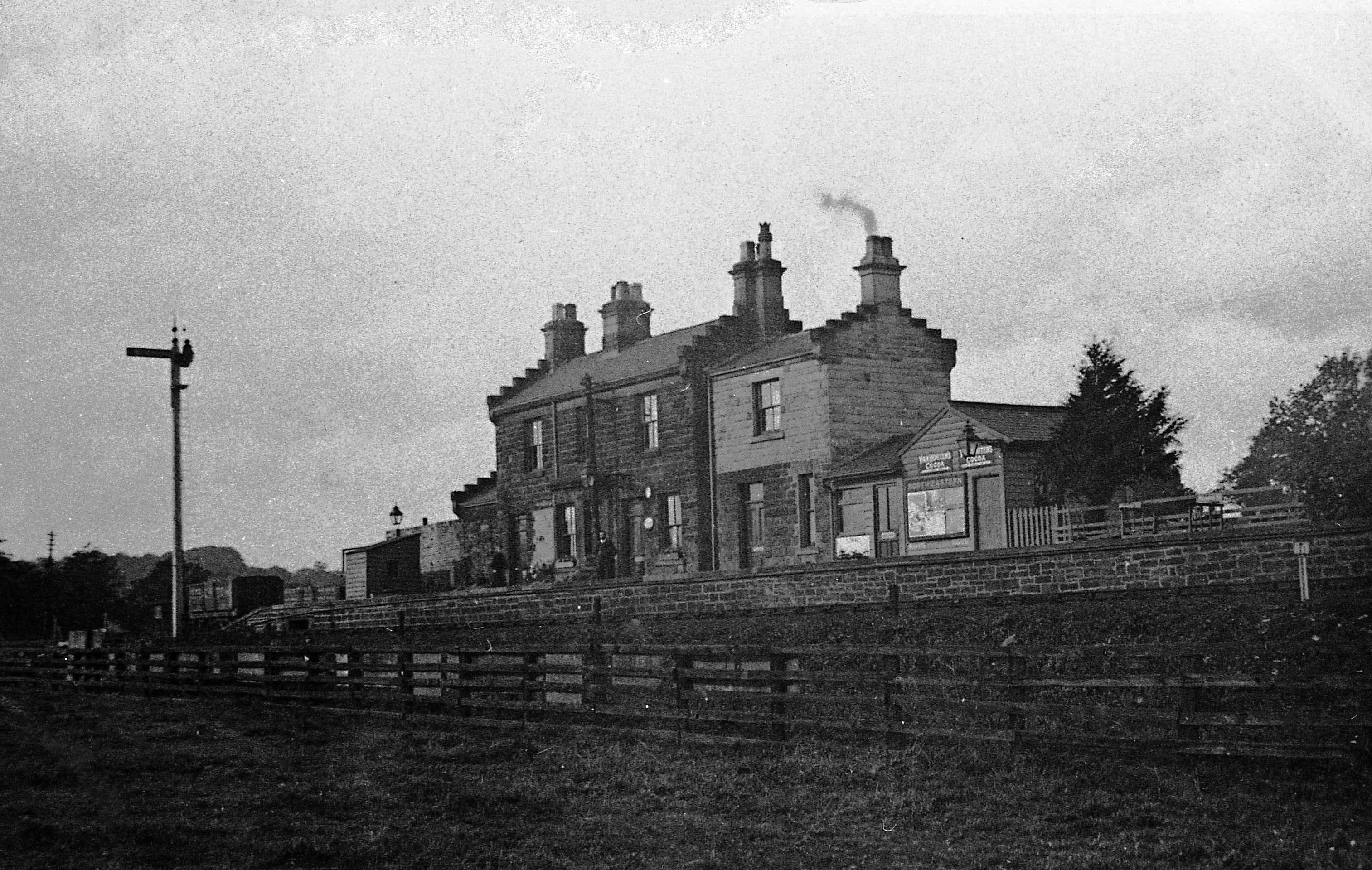
Ripley Valley railway station
Ripley Valley railway station served the villages of Killinghall and Ripley, North Yorkshire, England from 1862 to 1951 on the Nidd Valley Railway. �...

Ripley Town Hall, North Yorkshire
Ripley Town Hall is a municipal building in Main Street, Ripley, North Yorkshire, England. The structure, which is used as an events venue and as a post...

Ripley, North Yorkshire
Ripley is a town and civil parish in North Yorkshire in England, a few miles north of Harrogate on the A61 road towards Ripon. The town name derives from...

Ripley Castle
Ripley Castle is a Grade I listed 14th-century country house in Ripley, North Yorkshire, England, 3 miles (4.8 km) north of Harrogate.The house is built...
Nidd Bridge railway station
Nidd Bridge railway station served the village of Nidd, North Yorkshire, England from 1848 to 1964 on the Leeds-Northallerton Railway. == History == The...

Nidderdale Greenway
The Nidderdale Greenway is a 4-mile (6.4 km) path that runs between Harrogate and Ripley in North Yorkshire, England. It uses a former railway line that...

Nidd Hall
Nidd Hall was a 19th-century country house, now a hotel, in the village of Nidd, North Yorkshire, England. It is a Grade II listed building. It is constructed...

Nidd
Nidd is a small village and civil parish in the Harrogate district of North Yorkshire, England. The population of the village taken at the 2011 census...
Nearby Amenities
Located within 500m of 54.036217,-1.5589494Have you been to Alder Wood?
Leave your review of Alder Wood below (or comments, questions and feedback).