Ripley
Settlement in Yorkshire Harrogate
England
Ripley
The requested URL returned error: 429 Too Many Requests
If you have any feedback on the listing, please let us know in the comments section below.
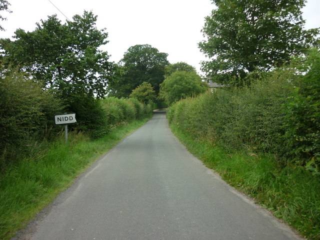
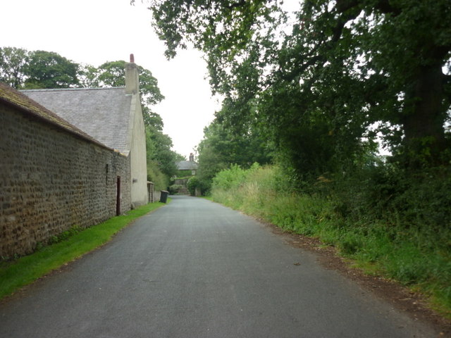
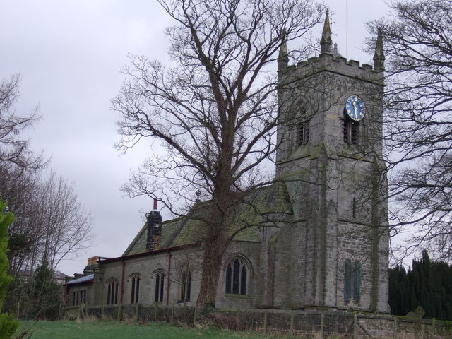
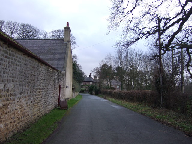
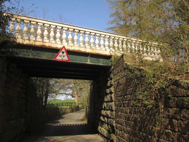
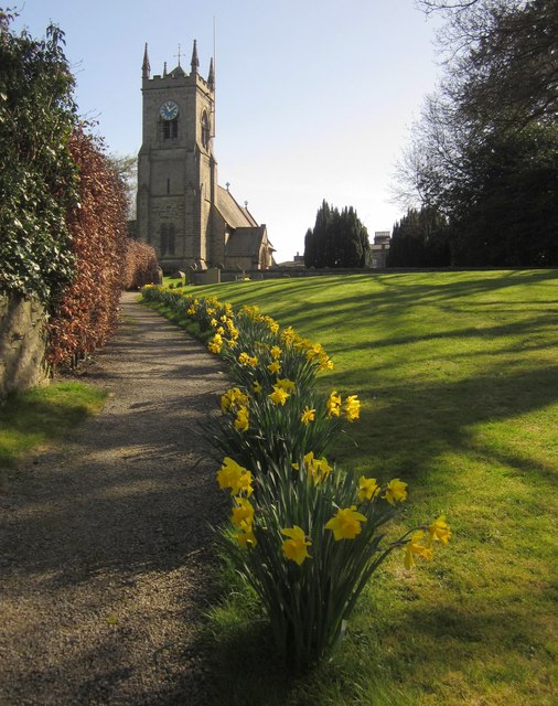
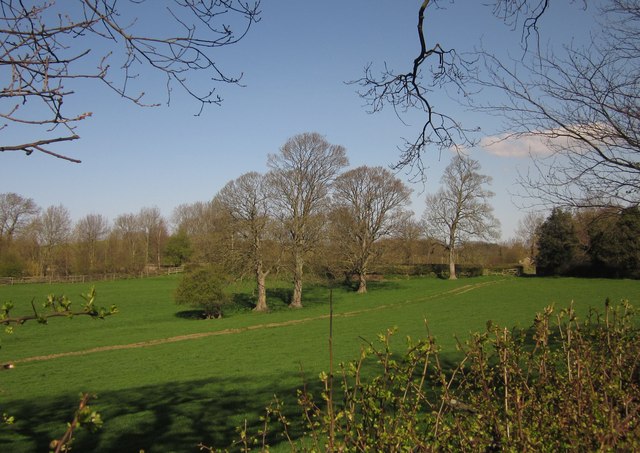
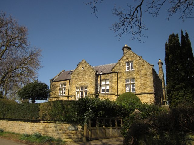
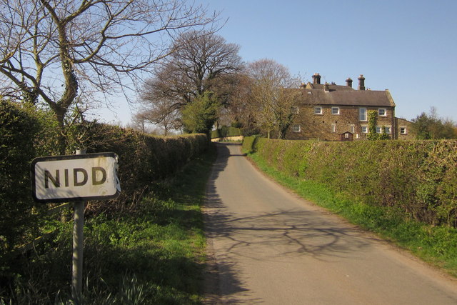
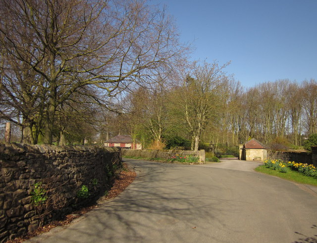
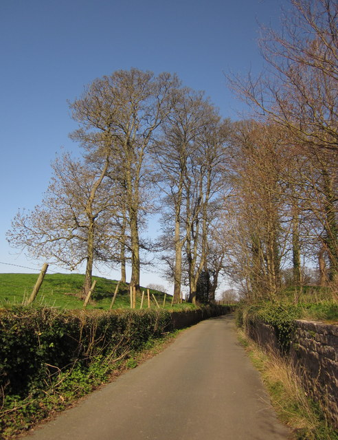
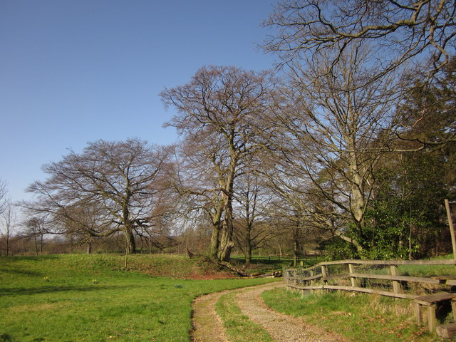
Ripley Images
Images are sourced within 2km of 54.041035/-1.5666099 or Grid Reference SE2860. Thanks to Geograph Open Source API. All images are credited.
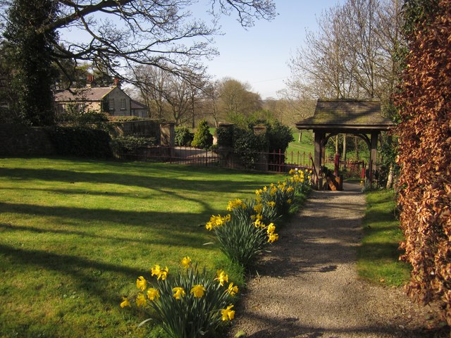


Ripley is located at Grid Ref: SE2860 (Lat: 54.041035, Lng: -1.5666099)
Division: West Riding
Administrative County: North Yorkshire
District: Harrogate
Police Authority: North Yorkshire
What 3 Words
///zips.enough.registers. Near Harrogate, North Yorkshire
Nearby Locations
Related Wikis

Ripley Town Hall, North Yorkshire
Ripley Town Hall is a municipal building in Main Street, Ripley, North Yorkshire, England. The structure, which is used as an events venue and as a post...

Ripley, North Yorkshire
Ripley is a town and civil parish in North Yorkshire in England, a few miles north of Harrogate on the A61 road towards Ripon. The town name derives from...

Ripley Castle
Ripley Castle is a Grade I listed 14th-century country house in Ripley, North Yorkshire, England, 3 miles (4.8 km) north of Harrogate.The house is built...
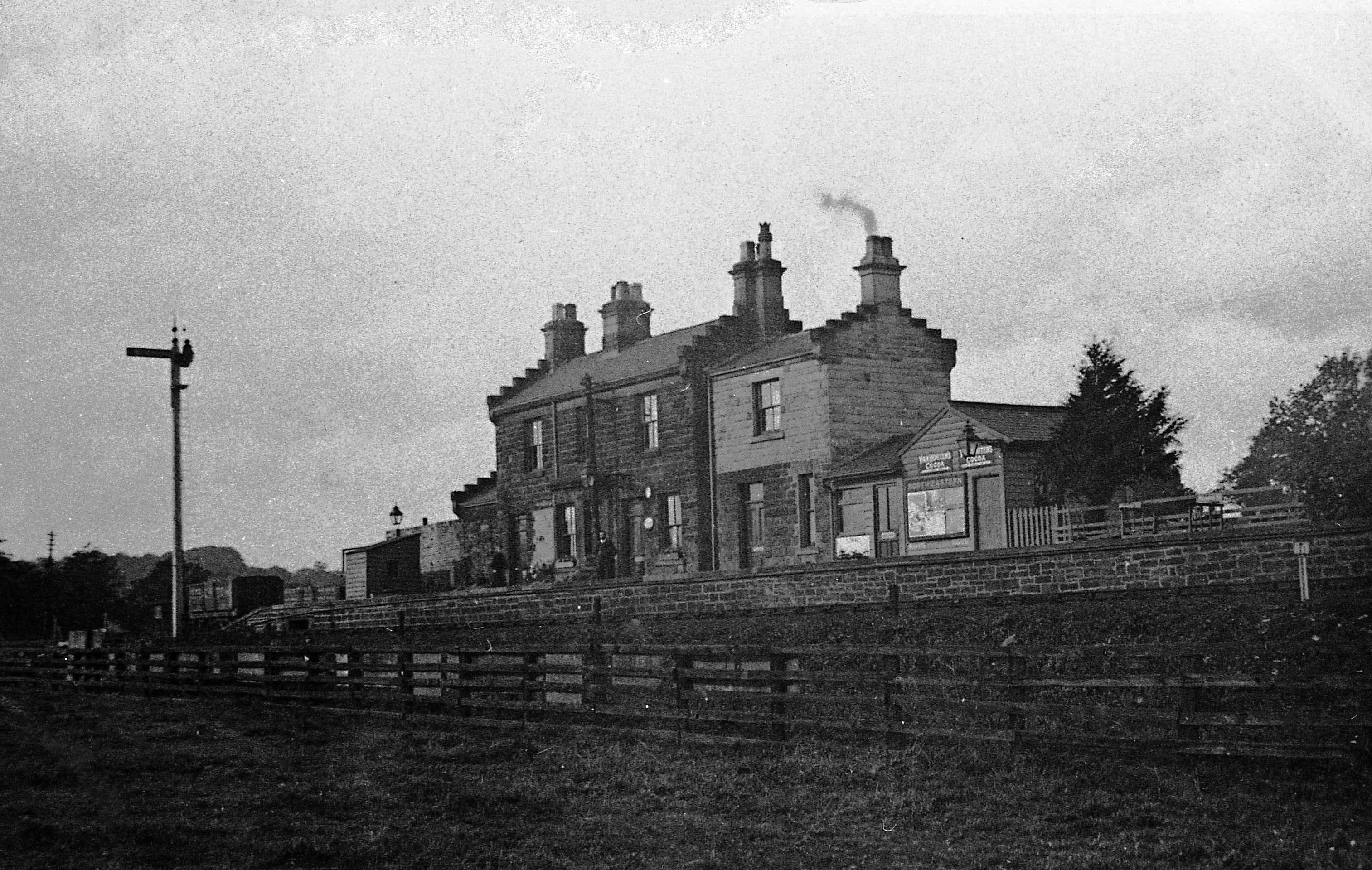
Ripley Valley railway station
Ripley Valley railway station served the villages of Killinghall and Ripley, North Yorkshire, England from 1862 to 1951 on the Nidd Valley Railway. �...
Nearby Amenities
Located within 500m of 54.041035,-1.5666099Have you been to Ripley?
Leave your review of Ripley below (or comments, questions and feedback).