Ripley Lakes
Lake, Pool, Pond, Freshwater Marsh in Yorkshire Harrogate
England
Ripley Lakes
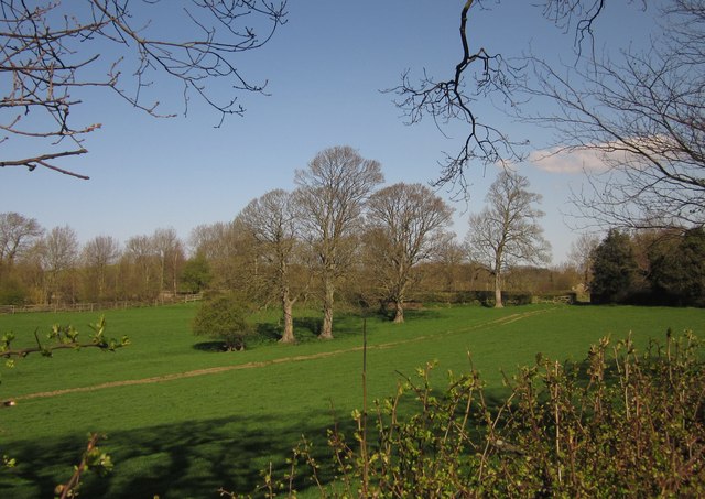
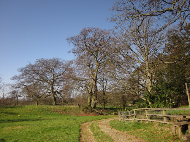
Ripley Lakes, located in Yorkshire, England, is a picturesque freshwater ecosystem consisting of a series of interconnected lakes, pools, ponds, and a freshwater marsh. Nestled within the lush greenery of the Yorkshire countryside, this natural sanctuary provides a haven for various species of flora and fauna.
The lakes, which are the main feature of Ripley Lakes, are formed by the accumulation of rainwater and runoff from nearby hills. These bodies of water are relatively shallow, with an average depth of around 3 meters, and are surrounded by dense vegetation. They are home to a diverse range of aquatic plants, including water lilies, reeds, and rushes, which provide shelter and food for a multitude of animal species.
The interconnected pools and ponds within Ripley Lakes support a thriving community of fish, such as trout and perch, as well as amphibians like frogs and newts. These smaller water bodies also attract a variety of water birds, including ducks, herons, and swans, which can often be seen gracefully gliding across the surface.
Adjacent to the lakes, the freshwater marsh is a vital habitat for many wetland species. Characterized by its waterlogged soil and rich vegetation, this marshland provides nesting sites for birds like moorhens and coots, and serves as a breeding ground for insects and amphibians.
Ripley Lakes, with its tranquil setting and abundant wildlife, offers visitors the opportunity to immerse themselves in the beauty of nature. Whether it be fishing, birdwatching, or simply enjoying a peaceful stroll along the water's edge, this idyllic destination is a true gem in the Yorkshire countryside.
If you have any feedback on the listing, please let us know in the comments section below.
Ripley Lakes Images
Images are sourced within 2km of 54.041718/-1.5717643 or Grid Reference SE2860. Thanks to Geograph Open Source API. All images are credited.


Ripley Lakes is located at Grid Ref: SE2860 (Lat: 54.041718, Lng: -1.5717643)
Division: West Riding
Administrative County: North Yorkshire
District: Harrogate
Police Authority: North Yorkshire
What 3 Words
///album.votes.vesting. Near Harrogate, North Yorkshire
Nearby Locations
Related Wikis

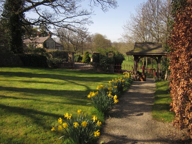
Ripley, North Yorkshire
Ripley is a town and civil parish in North Yorkshire in England, a few miles north of Harrogate on the A61 road towards Ripon. The town name derives from...

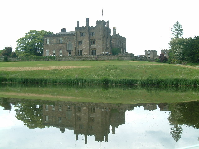
Ripley Castle
Ripley Castle is a Grade I listed 14th-century country house in Ripley, North Yorkshire, England, 3 miles (4.8 km) north of Harrogate.The house is built...

Ripley Town Hall, North Yorkshire
Ripley Town Hall is a municipal building in Main Street, Ripley, North Yorkshire, England. The structure, which is used as an events venue and as a post...
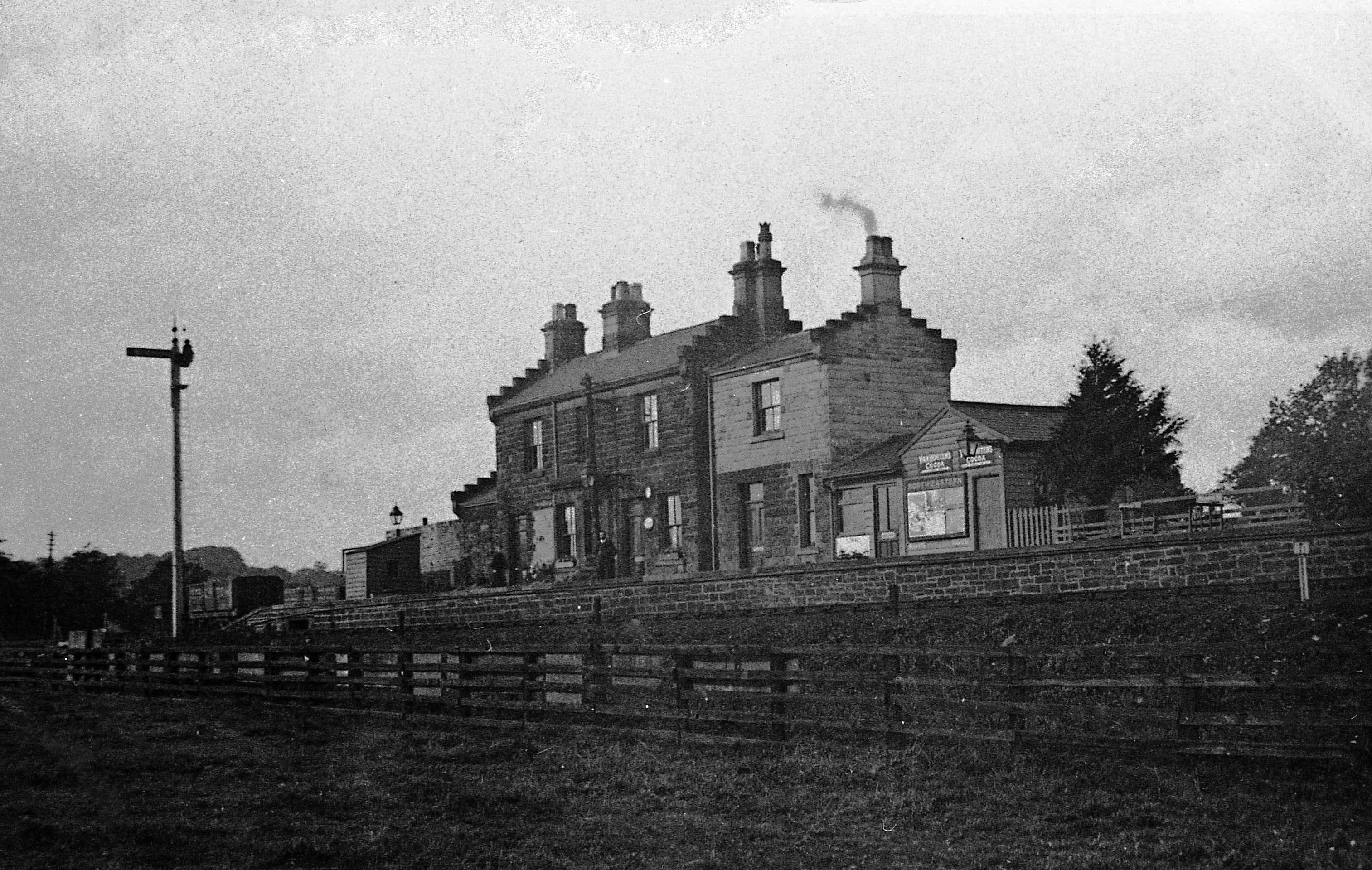
Ripley Valley railway station
Ripley Valley railway station served the villages of Killinghall and Ripley, North Yorkshire, England from 1862 to 1951 on the Nidd Valley Railway. �...

Bedlam, North Yorkshire
Bedlam is a small village in the Harrogate district of North Yorkshire, England situated north of Harrogate.Its name most likely came from Old English...
Nidd Bridge railway station
Nidd Bridge railway station served the village of Nidd, North Yorkshire, England from 1848 to 1964 on the Leeds-Northallerton Railway. == History == The...

Nidd Hall
Nidd Hall was a 19th-century country house, now a hotel, in the village of Nidd, North Yorkshire, England. It is a Grade II listed building. It is constructed...

Nidderdale Greenway
The Nidderdale Greenway is a 4-mile (6.4 km) path that runs between Harrogate and Ripley in North Yorkshire, England. It uses a former railway line that...
Nearby Amenities
Located within 500m of 54.041718,-1.5717643Have you been to Ripley Lakes?
Leave your review of Ripley Lakes below (or comments, questions and feedback).