Chinese Wood
Wood, Forest in Yorkshire Harrogate
England
Chinese Wood
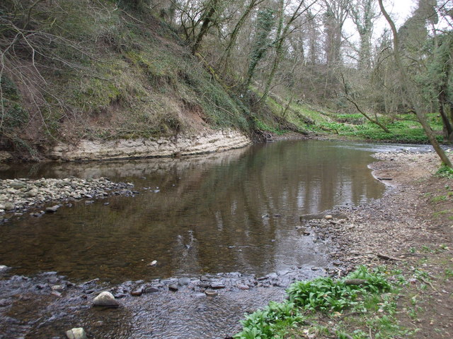
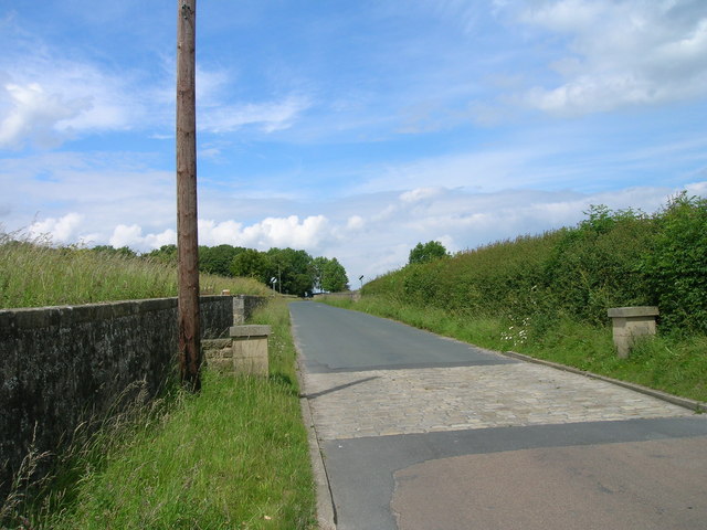
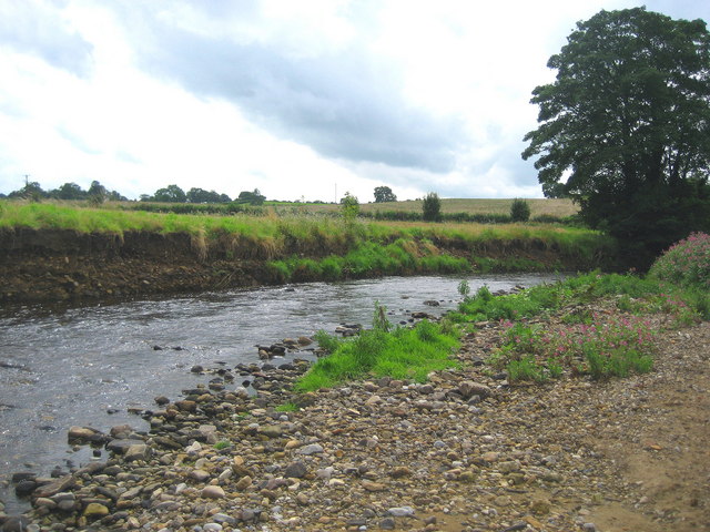
Chinese Wood is a small woodland area located in Yorkshire, England. Situated within the broader region of Yorkshire's forests, Chinese Wood is known for its unique and diverse range of plant and animal species, as well as its rich cultural history.
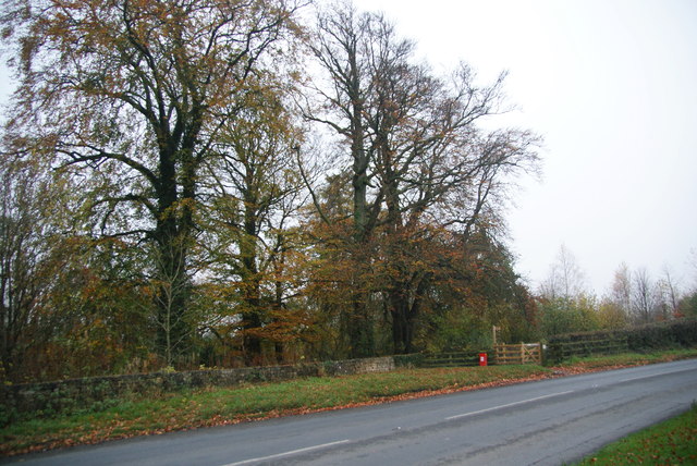
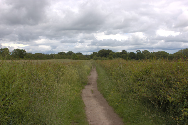
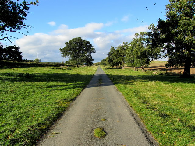
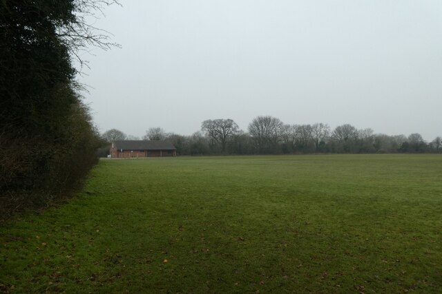
Covering an area of approximately 50 acres, Chinese Wood is characterized by its dense groves of deciduous and coniferous trees. The woodland is home to a variety of tree species, including oak, beech, birch, and pine, creating a vibrant and picturesque landscape throughout the seasons.
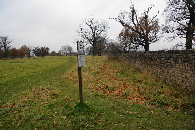
The woodland is also a haven for wildlife enthusiasts, offering a habitat for a wide range of animals. Birdwatchers can spot species such as woodpeckers, owls, and various migratory birds, while mammal sightings may include rabbits, foxes, and even the occasional deer.
In addition to its natural beauty, Chinese Wood holds historical significance. The name "Chinese Wood" is said to originate from a local legend, which claims that a Chinese merchant ship once ran aground in the area, leaving behind a cargo of exotic plants. Whether this tale is true or not, the woodland has become a popular spot for visitors seeking tranquility and a connection to nature.
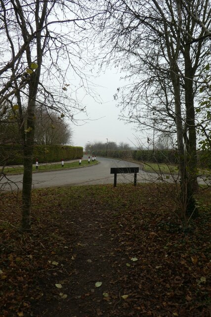
Chinese Wood offers various walking trails, allowing visitors to explore the woodland and discover its hidden gems. Whether it be a leisurely stroll, a family picnic, or a nature photography expedition, Chinese Wood provides a serene and enchanting setting for all to enjoy.
If you have any feedback on the listing, please let us know in the comments section below.
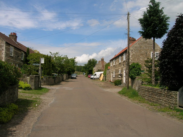
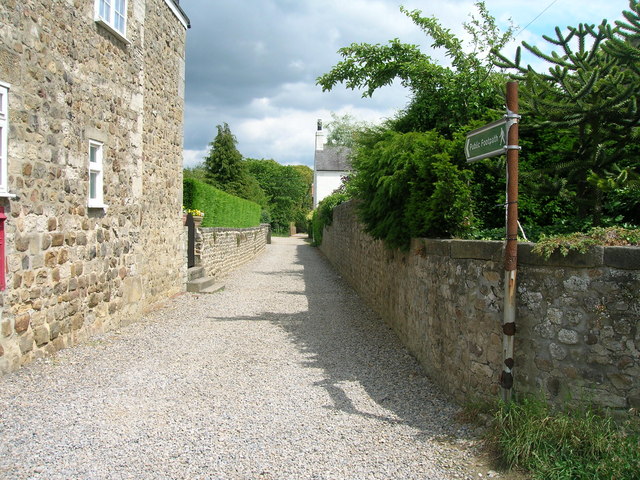
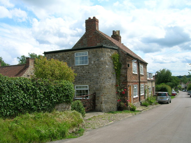
Chinese Wood Images
Images are sourced within 2km of 54.116527/-1.5580671 or Grid Reference SE2869. Thanks to Geograph Open Source API. All images are credited.


Chinese Wood is located at Grid Ref: SE2869 (Lat: 54.116527, Lng: -1.5580671)
Division: West Riding
Administrative County: North Yorkshire
District: Harrogate
Police Authority: North Yorkshire
What 3 Words
///lifters.minerals.commit. Near Ripon, North Yorkshire
Nearby Locations
Related Wikis

Studley Roger
Studley Roger is a small village and civil parish in the Harrogate district of North Yorkshire, England, and it is about 1 mile west of the historical...
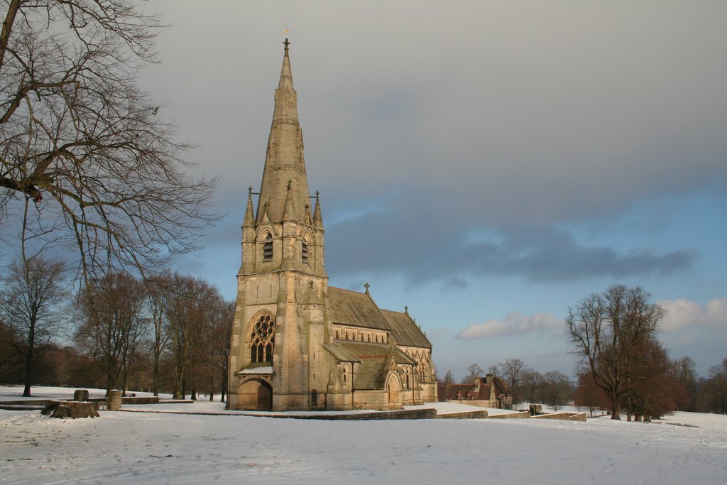
St Mary's, Studley Royal
The Church of St Mary, Studley Royal, is a Victorian Gothic Revival church built in the Early English style by William Burges. It is located in the grounds...

Fountains Abbey
Fountains Abbey is one of the largest and best preserved ruined Cistercian monasteries in England. It is located approximately 3 miles (5 km) south-west...
Markenfield Hall
Markenfield Hall is an early 14th-century moated manor house about 3 miles (5 km) south of Ripon, North Yorkshire, England. It is in the civil parish of...

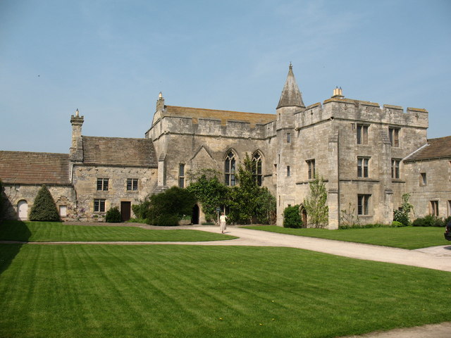
Fountains Hall
Fountains Hall is a country house near Ripon in North Yorkshire, England, located within the World Heritage Site at Studley Royal Park which include the...
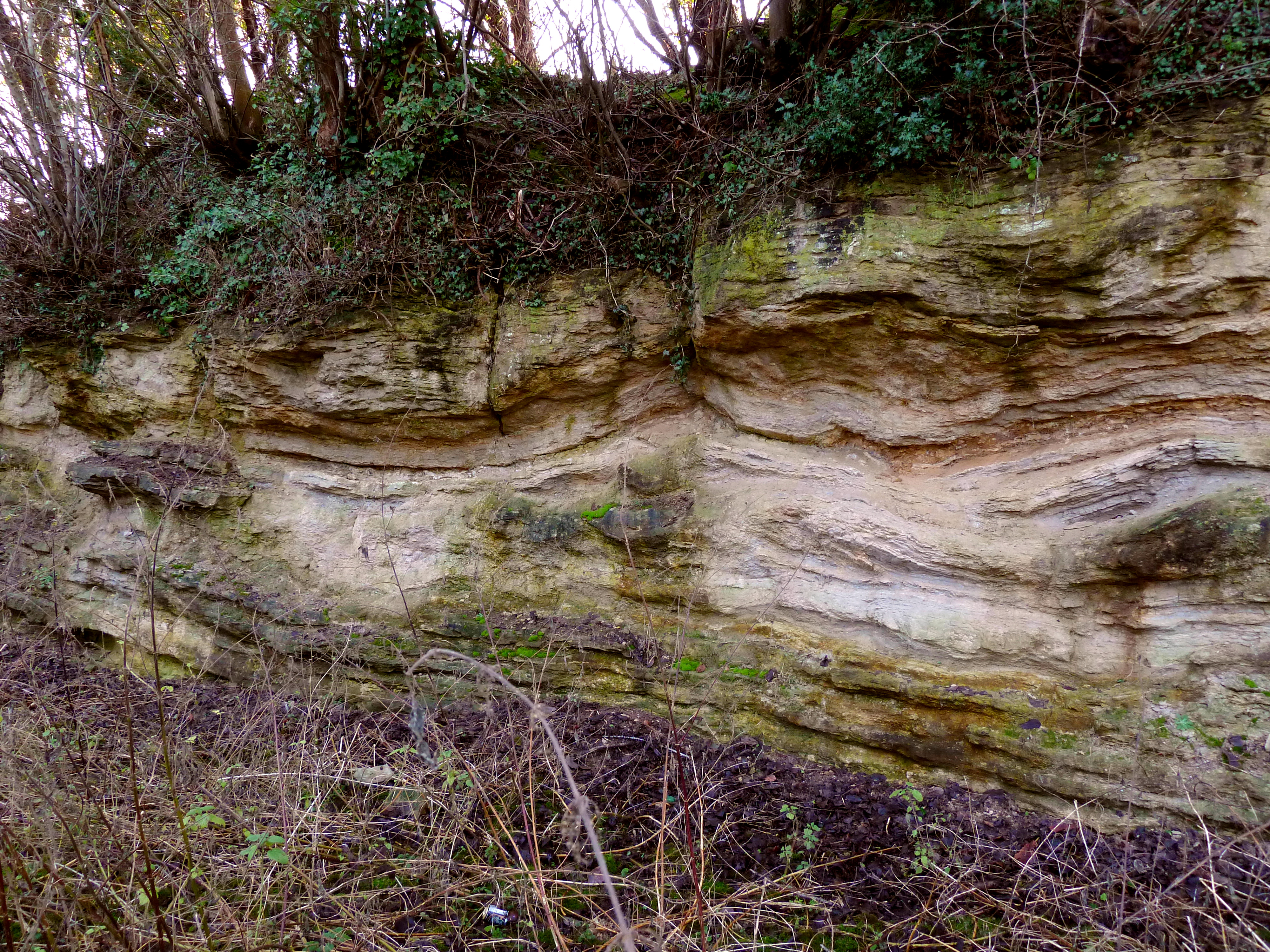
Quarry Moor
Quarry Moor is a Site of Special Scientific Interest, or SSSI, at the south edge of Ripon, North Yorkshire, England, and adjacent to the A61 road. It contains...
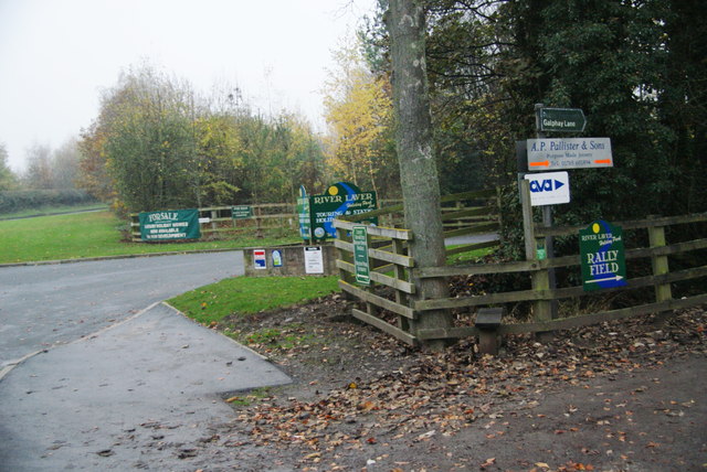
River Laver
The River Laver is a tributary of the River Skell, itself a tributary of the River Ure in North Yorkshire, England. The name is of Brittonic origin, from...

Outwood Academy Ripon
Outwood Academy Ripon is a small mixed secondary school with academy status situated in the city of Ripon, in North Yorkshire, England. It provides for...
Nearby Amenities
Located within 500m of 54.116527,-1.5580671Have you been to Chinese Wood?
Leave your review of Chinese Wood below (or comments, questions and feedback).