Gillet Hill

Hill, Mountain in Yorkshire Harrogate

England

Gillet Hill

Exposed Limestone On a bend of the River Laver, below Tate's Garden Centre, are several exposures of magnesian limestone.
Exposed Limestone Credit: Matthew Hatton

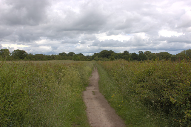
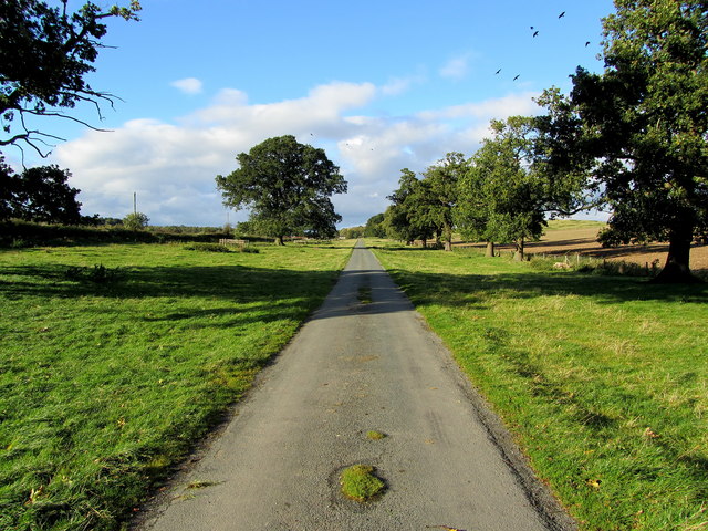
Gillet Hill, located in Yorkshire, England, is a prominent hill that stands at an elevation of approximately 450 meters. Situated in the North York Moors National Park, this hill offers breathtaking panoramic views of the surrounding countryside, making it a popular destination for nature enthusiasts and hikers.

The hill is characterized by its rolling green slopes, which are covered in heather and other native vegetation, giving it a picturesque appearance. Its summit provides a vantage point from which visitors can admire the vast expanses of the North York Moors, with its patchwork of fields, forests, and moorland.

Gillet Hill is also known for its historical significance. The hill is home to the remains of an Iron Age hillfort, dating back over 2,000 years. These ancient earthworks and defensive ditches offer insights into the lives of the people who once inhabited the area. Visitors can explore these archaeological features, which provide a connection to the region's rich past.

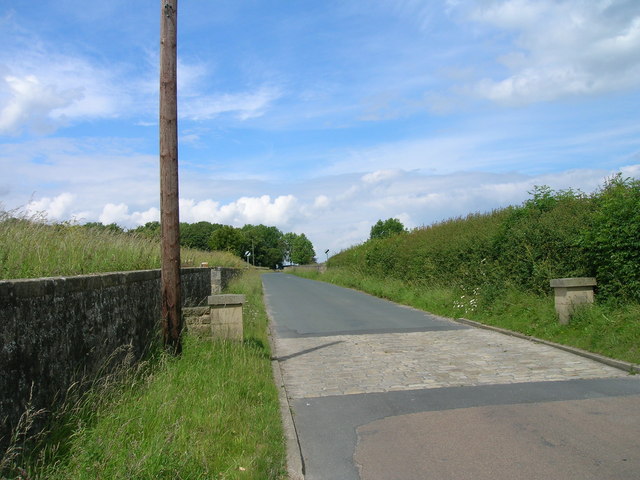
Access to Gillet Hill is provided by a network of well-maintained footpaths and trails, making it easily accessible for walkers and hikers of varying abilities. The hill is a popular destination for outdoor activities, such as walking, birdwatching, and photography.

In conclusion, Gillet Hill in Yorkshire, England, is a picturesque and historically significant hill that offers stunning views of the North York Moors. With its rich biodiversity and ancient remains, it is a must-visit location for nature lovers and history enthusiasts alike.

If you have any feedback on the listing, please let us know in the comments section below.
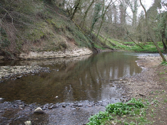
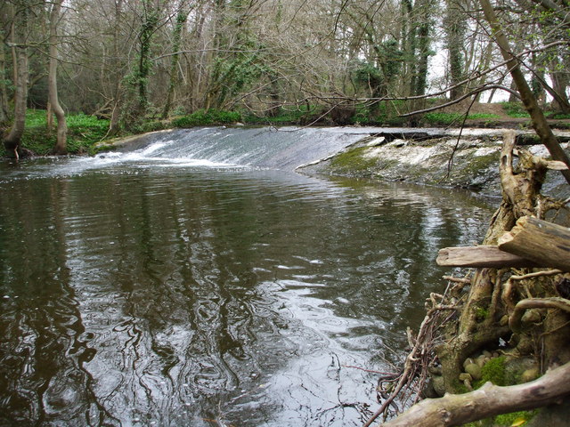
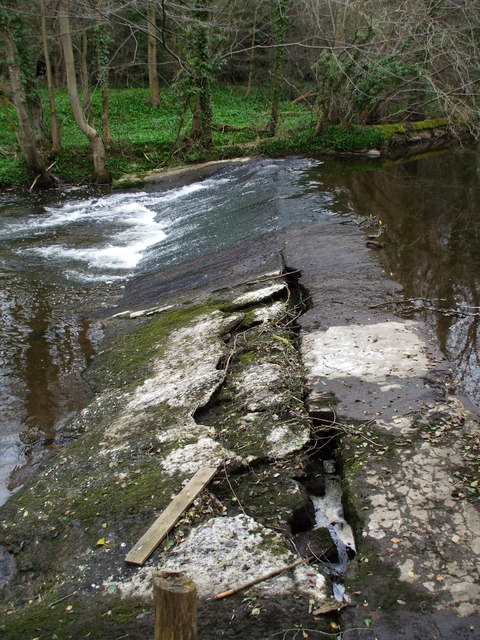
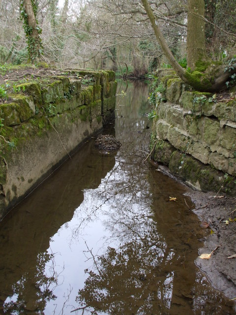
Gillet Hill Images

Images are sourced within 2km of 54.119011/-1.5638696 or Grid Reference SE2869. Thanks to Geograph Open Source API. All images are credited.

Exposed Limestone On a bend of the River Laver, below Tate's Garden Centre, are several exposures of magnesian limestone.
Exposed Limestone
On a bend of the River Laver, below Tate's Garden Centre, are several exposures of magnesian limestone.
Bishopton Weir Damming the River Laver to create a head of water for the old Bishopton Mill, this weir is now redundant.
Bishopton Weir
Damming the River Laver to create a head of water for the old Bishopton Mill, this weir is now redundant.
Crackin' Weir Bishopton Weir is in a poor state of repair, here it has lost its outer covering of concrete and is leaking badly.
Crackin' Weir
Bishopton Weir is in a poor state of repair, here it has lost its outer covering of concrete and is leaking badly.
No sluicegates! The start of the mill race for Bishopton Mill. Bishopton Mill burnt down in 1916 so I'd imagine that this cut has been without its sluice-gate for sometime.
No sluicegates!
The start of the mill race for Bishopton Mill. Bishopton Mill burnt down in 1916 so I'd imagine that this cut has been without its sluice-gate for sometime.
Laver Weirpool The widening of the River Laver here caused by Bishopton Weir to create a head of water for the now disused mill race to Bishopton Mill.
Laver Weirpool
The widening of the River Laver here caused by Bishopton Weir to create a head of water for the now disused mill race to Bishopton Mill.
Studley Lane heading north
Footpath running east from Studley Roger
Cottage, Studley Roger
Studley Lane heading north
The River Laver above Bishopton Weir A good footpath ends at this point. I was hoping it would allow me to cross the river but I presume it originally just went to the mill which no longer exists.
The River Laver above Bishopton Weir
A good footpath ends at this point. I was hoping it would allow me to cross the river but I presume it originally just went to the mill which no longer exists.
Numerous signs at the entrance to River Laver Holiday Park
A footpath to Studley Roger leaving the B6265
Footpath to Ripon
Footpath to Ripon
Access Lane to Low Lindrick An arrow straight access lane leaves the B6265 and runs north for almost a kilometre to reach Low Lindrick
Access Lane to Low Lindrick
An arrow straight access lane leaves the B6265 and runs north for almost a kilometre to reach Low Lindrick
The edge of Studley Royal deer park It is National Trust land but there is no restriction on entering this part. The Fountains Abbey site adjoining requires proper admission.
The edge of Studley Royal deer park
It is National Trust land but there is no restriction on entering this part. The Fountains Abbey site adjoining requires proper admission.
Footpath to Studley Roger The path has left Studley Royal deer park, and the houses of Studley Roger are appearing ahead.
Footpath to Studley Roger
The path has left Studley Royal deer park, and the houses of Studley Roger are appearing ahead.
Footpath in Studley Roger The path crosses the main village street and continues ahead towards Ripon. It is seen here on a wet day.
Footpath in Studley Roger
The path crosses the main village street and continues ahead towards Ripon. It is seen here on a wet day.
Reservoir at White Fields Old maps refer to this as having belonged to the former "Ripon Corporation Water Works". <a href="https://www.geograph.org.uk/photo/3272518">SE3070 : Old Pipe across the River Skell</a>
Reservoir at White Fields
Old maps refer to this as having belonged to the former "Ripon Corporation Water Works". SE3070 : Old Pipe across the River Skell
Show me another place!

Gillet Hill is located at Grid Ref: SE2869 (Lat: 54.119011, Lng: -1.5638696)

Division: West Riding

Administrative County: North Yorkshire

District: Harrogate

Police Authority: North Yorkshire

What 3 Words

///yappy.whizzing.assorted. Near Ripon, North Yorkshire

Related Wikis

Studley Roger

Studley Roger is a small village and civil parish in the Harrogate district of North Yorkshire, England, and it is about 1 mile west of the historical...

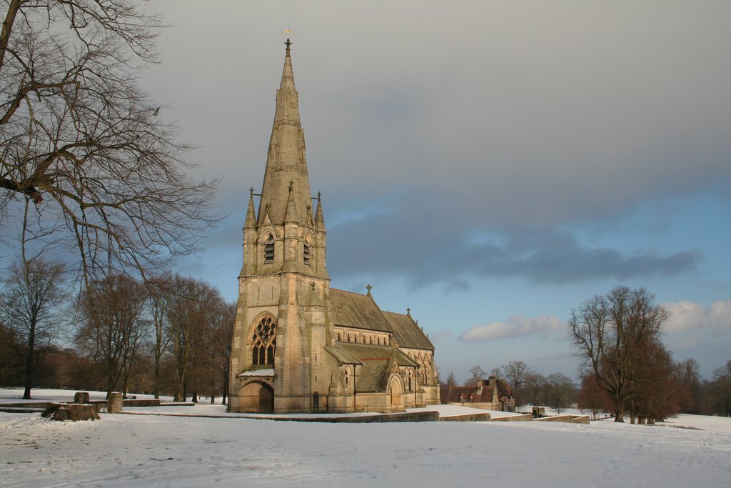
St Mary's, Studley Royal

The Church of St Mary, Studley Royal, is a Victorian Gothic Revival church built in the Early English style by William Burges. It is located in the grounds...

Fountains Abbey

Fountains Abbey is one of the largest and best preserved ruined Cistercian monasteries in England. It is located approximately 3 miles (5 km) south-west...
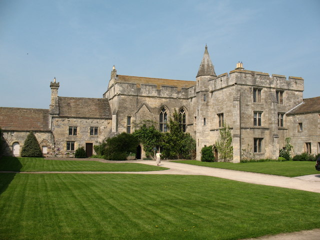
Fountains Hall

Fountains Hall is a country house near Ripon in North Yorkshire, England, located within the World Heritage Site at Studley Royal Park which include the...

Markenfield Hall

Markenfield Hall is an early 14th-century moated manor house about 3 miles (5 km) south of Ripon, North Yorkshire, England. It is in the civil parish of...

Aldfield

Aldfield is a village and civil parish in the former Harrogate district of North Yorkshire, England, about three miles west of Ripon. It is the closest...
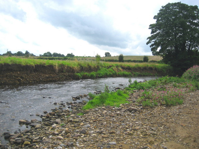
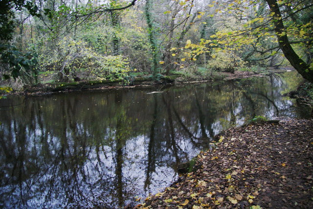
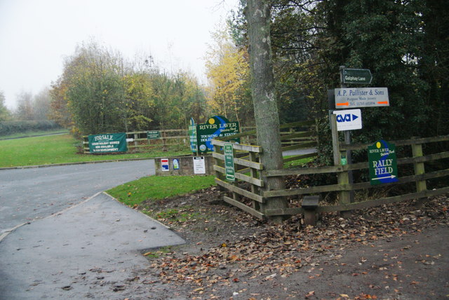
River Laver

The River Laver is a tributary of the River Skell, itself a tributary of the River Ure in North Yorkshire, England. The name is of Brittonic origin, from...
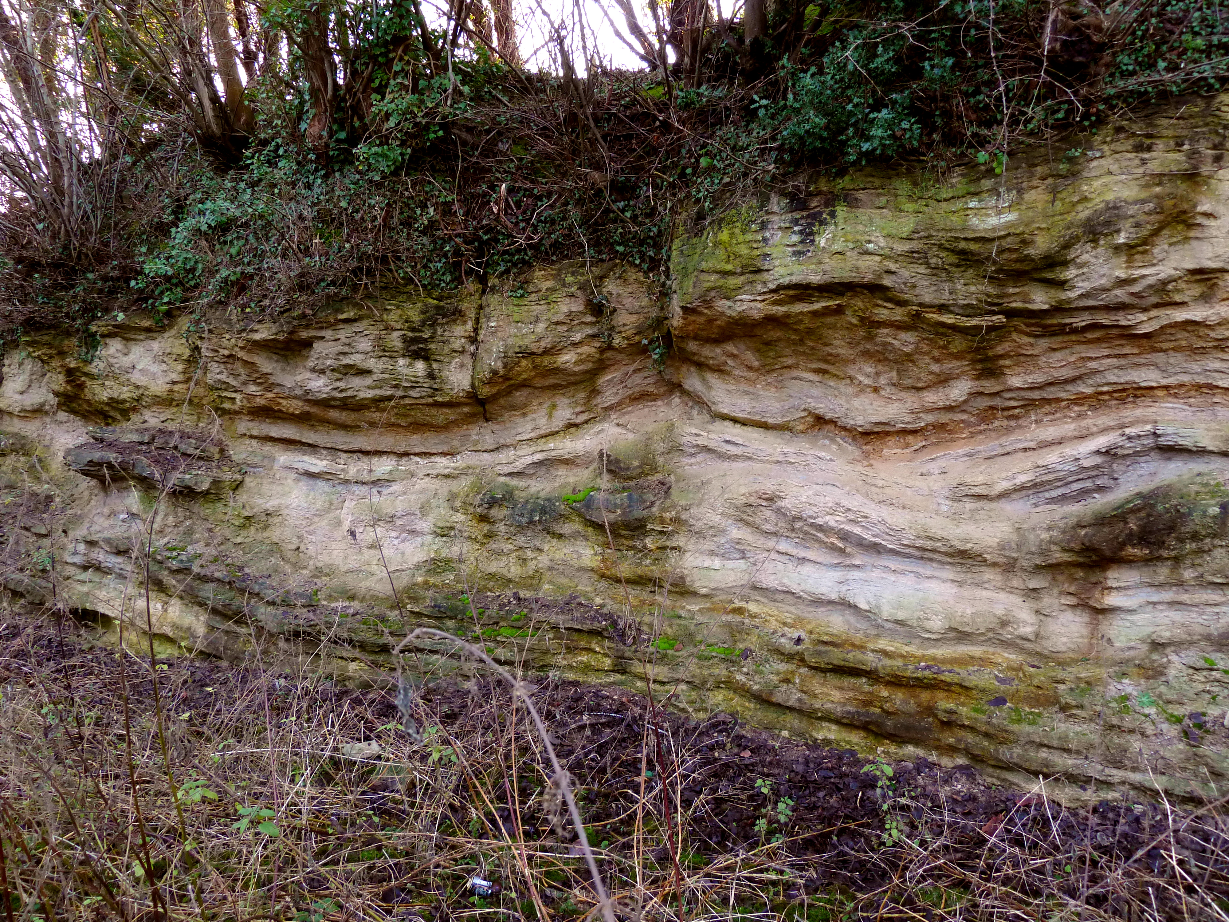
Quarry Moor

Quarry Moor is a Site of Special Scientific Interest, or SSSI, at the south edge of Ripon, North Yorkshire, England, and adjacent to the A61 road. It contains...

Nearby Amenities

Located within 500m of 54.119011,-1.5638696
Ford: yes
Lat/Long: 54.1173865/-1.566483
Waterway: weir
Wikidata: Q26468470
Lat/Long: 54.118588/-1.5704522
Ford: yes
Lat/Long: 54.1169653/-1.5660698
Bench
Backrest: no
Source: survey;gps
Lat/Long: 54.1200164/-1.571232
Ford: yes
Lat/Long: 54.1170222/-1.5635846
Ford: yes
Wikidata: Q26468473
Lat/Long: 54.118183/-1.5679852
Artwork Type: sculpture
Tourism: artwork
Wikidata: Q26468393
Lat/Long: 54.1186542/-1.5705454
Artwork Type: sculpture
Tourism: artwork
Wikidata: Q26443428
Lat/Long: 54.1184599/-1.5704471
The data included in this document is from www.openstreetmap.org. The data is made available under ODbL.

Have you been to Gillet Hill?

Leave your review of Gillet Hill below (or comments, questions and feedback).