Lord Brooke's Clump

Wood, Forest in Warwickshire Warwick

England

Lord Brooke's Clump

New green space, Beauchamp Park Development New central green avenue in the Beauchamp Park housing development at Gallows Hill.
New green space, Beauchamp Park Development Credit: AJD

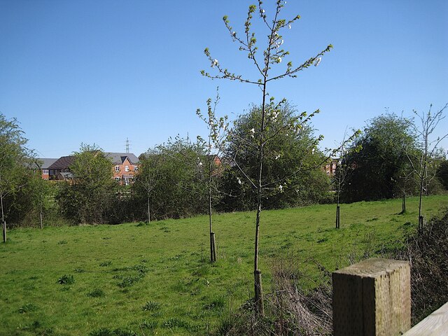
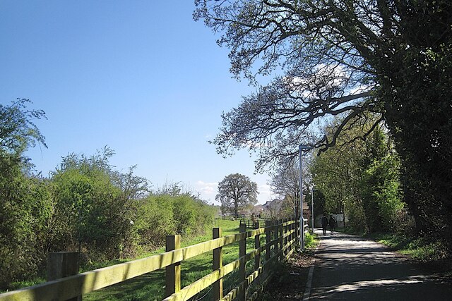
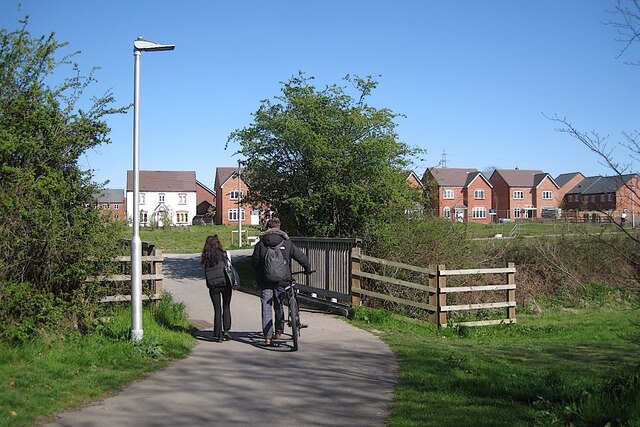
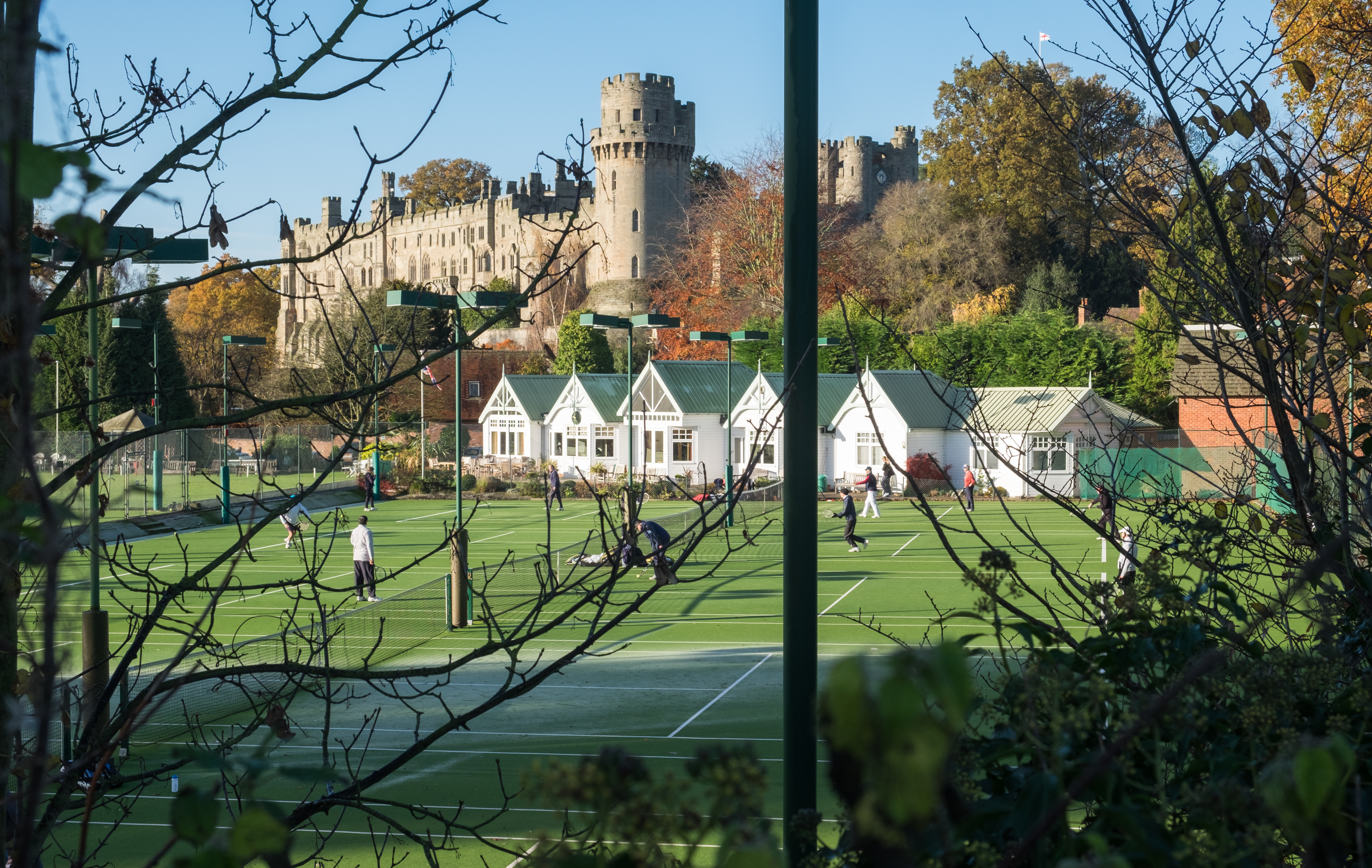
Lord Brooke's Clump is a picturesque woodland located in Warwickshire, England. Situated near the town of Warwick, this charming forested area covers approximately 20 acres of land. The clump takes its name from Lord Brooke, a former owner of the land in the 17th century.

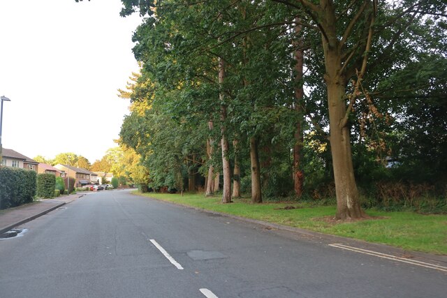
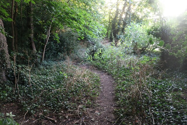
The woodland is primarily composed of deciduous trees, including oak, beech, and ash, creating a diverse and vibrant ecosystem. The trees in Lord Brooke's Clump are well-maintained and mature, providing a dense canopy that offers shade and a sense of tranquility to visitors.

The forest is home to a variety of wildlife, including deer, rabbits, and numerous species of birds. Nature enthusiasts can enjoy observing these creatures in their natural habitat, making the clump a popular destination for birdwatchers and wildlife photographers.

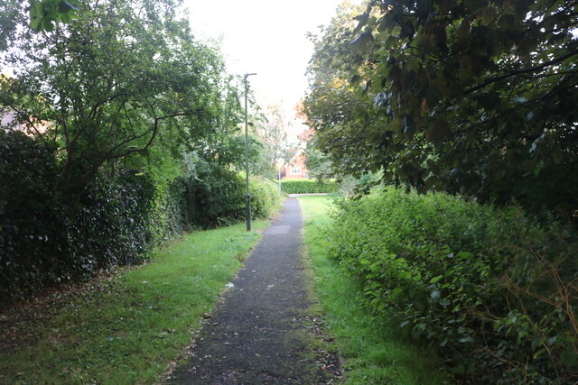
A network of well-marked trails meanders through the woodland, allowing visitors to explore the area at their own pace. These paths provide a serene and peaceful setting for walking, cycling, or simply enjoying a leisurely stroll amidst the natural surroundings.

Lord Brooke's Clump also boasts a small pond, which adds to the charm and beauty of the area. The pond attracts a range of aquatic animals and provides a focal point for visitors to relax and take in the scenery.

Overall, Lord Brooke's Clump in Warwickshire offers a delightful escape into nature, providing a peaceful retreat for those seeking solace in the beauty of the English countryside.

If you have any feedback on the listing, please let us know in the comments section below.

Lord Brooke's Clump Images

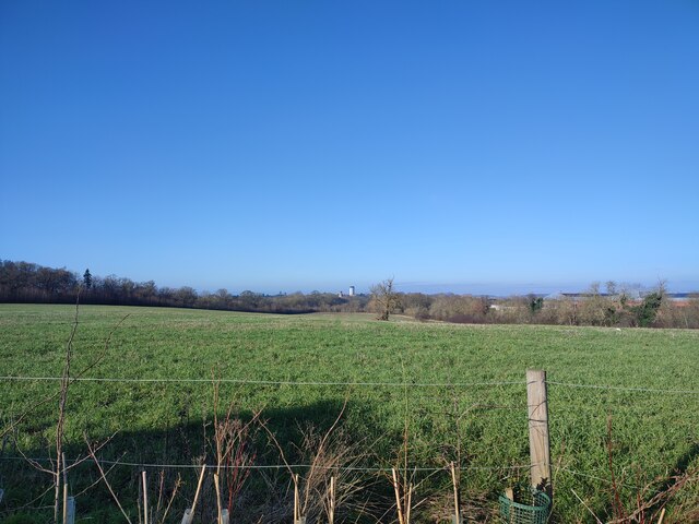
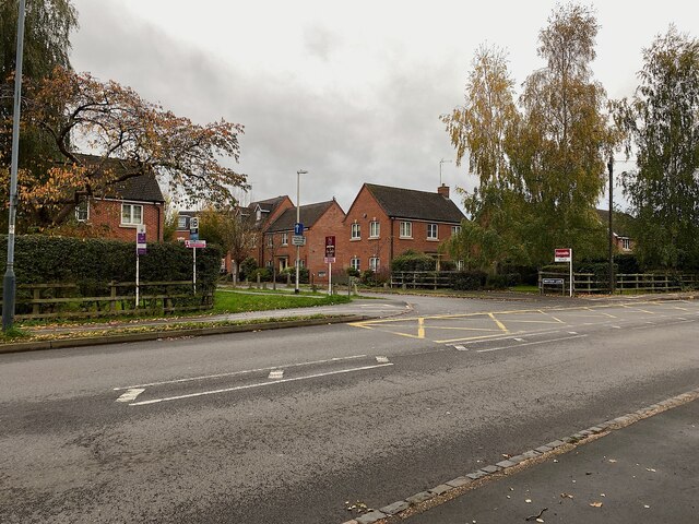
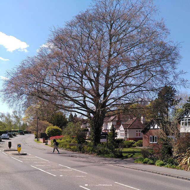
Images are sourced within 2km of 52.274676/-1.5831825 or Grid Reference SP2864. Thanks to Geograph Open Source API. All images are credited.

New green space, Beauchamp Park Development New central green avenue in the Beauchamp Park housing development at Gallows Hill.
New green space, Beauchamp Park Development
New central green avenue in the Beauchamp Park housing development at Gallows Hill.
Gallows Hill, Warwick Looking down Gallows Hill towards Warwick Castle from the end of the new housing development.
Gallows Hill, Warwick
Looking down Gallows Hill towards Warwick Castle from the end of the new housing development.
New Apartment Building by Gallows Hill This new apartment building overlooks the Europa Way roundabout, seen her from Gallows Hill.
New Apartment Building by Gallows Hill
This new apartment building overlooks the Europa Way roundabout, seen her from Gallows Hill.
Myton Lane, Warwick
Myton Lane, Warwick
Path from Myton Lane to Myton Road
Woodland by Myton Lane, Warwick
Well-connected new housing, Heathcote, Warwick A long-expected development on farmland will have ready access to M40 and the towns.
Well-connected new housing, Heathcote, Warwick
A long-expected development on farmland will have ready access to M40 and the towns.
Myton Crescent, Warwick
Brittain Lane meets Myton Road, Warwick This is the turning for Evergreen School, formerly Round Oak School, for children with special needs.
Image id=7421943
Brittain Lane meets Myton Road, Warwick
This is the turning for Evergreen School, formerly Round Oak School, for children with special needs. Image id=7421943
Copper beech, Myton Road, Warwick This fine copper beech (Fagus sylvatica f. purpurea) stands in a front garden on Myton Road and overhangs the street. It is seen here in April, just as it is coming into bloom and into leaf. Copper beech is an ornamental form of beech with reddish-purple leaves and is often planted as an ornamental tree; see the Woodland Trust site <span class="nowrap"><a title="https://www.woodlandtrust.org.uk/trees-woods-and-wildlife/british-trees/a-z-of-british-trees/copper-beech/" rel="nofollow ugc noopener" href="https://www.woodlandtrust.org.uk/trees-woods-and-wildlife/british-trees/a-z-of-british-trees/copper-beech/">Link</a><img style="margin-left:2px;" alt="External link" title="External link - shift click to open in new window" src="https://s1.geograph.org.uk/img/external.png" width="10" height="10"/></span> .
Copper beech, Myton Road, Warwick
This fine copper beech (Fagus sylvatica f. purpurea) stands in a front garden on Myton Road and overhangs the street. It is seen here in April, just as it is coming into bloom and into leaf. Copper beech is an ornamental form of beech with reddish-purple leaves and is often planted as an ornamental tree; see the Woodland Trust site LinkExternal link .
Open space, Brook Farm development, Warwick Brook Farm, one of two small farms in Myton worth millions to developers, finally sold. A new estate has been laid out, its open spaces following the Myton Brook. Compare <a href="https://www.geograph.org.uk/photo/6780294">SP3064 : Tree-planted land adjoining new residential development, Myton, Warwick</a> from three years earlier in 2020; the same electricity pylon can be seen on the skyline in both photos.
Photo number 7628050.
Open space, Brook Farm development, Warwick
Brook Farm, one of two small farms in Myton worth millions to developers, finally sold. A new estate has been laid out, its open spaces following the Myton Brook. Compare SP3064 : Tree-planted land adjoining new residential development, Myton, Warwick from three years earlier in 2020; the same electricity pylon can be seen on the skyline in both photos. Photo number 7628050.
Heading home, Myton Green, Warwick Brook Farm has been developed as Myton Green, a residential estate. Its open spaces follow the Myton Brook. A former farm track makes a pleasant walk home from nearby Myton School.
Photo number 7628056.
Heading home, Myton Green, Warwick
Brook Farm has been developed as Myton Green, a residential estate. Its open spaces follow the Myton Brook. A former farm track makes a pleasant walk home from nearby Myton School. Photo number 7628056.
Crossing Myton Brook, Warwick Brook Farm has been developed as a residential estate, Myton Green. Its open spaces along the Myton Brook make a pleasant walk home from nearby Myton School.
Photo number 7628060.
Crossing Myton Brook, Warwick
Brook Farm has been developed as a residential estate, Myton Green. Its open spaces along the Myton Brook make a pleasant walk home from nearby Myton School. Photo number 7628060.
Church on Castle Hill, Warwick
Castle Hill Baptist Church, Warwick
Saltisford, Warwick
Saltisford, Warwick
Warwick Batteries on Birmingham Road Although this is now the A425 the road name gives away it is all part of what was the A41 and still goes to Birmingham on the same route.
Warwick Batteries on Birmingham Road
Although this is now the A425 the road name gives away it is all part of what was the A41 and still goes to Birmingham on the same route.
Fingerpost to Myton Hamlet, Warwick
Show me another place!

Lord Brooke's Clump is located at Grid Ref: SP2864 (Lat: 52.274676, Lng: -1.5831825)

Administrative County: Warwickshire

District: Warwick

Police Authority: Warwickshire

What 3 Words

///save.tiles.tend. Near Warwick, Warwickshire

Related Wikis

Nearby Amenities

Located within 500m of 52.274676,-1.5831825
Restaurant
The Undercroft
Source: survey
Lat/Long: 52.2789974/-1.5852036
Cafe
Lat/Long: 52.2784731/-1.5857874
Post Box
Brand: Royal Mail
Brand Wikidata: Q638098
Brand Wikipedia: en:Royal Mail
Collection Times: Mo-Fr 09:00; Sa 07:00
Operator: Royal Mail
Operator Wikidata: Q638098
Post Box Mounting: brick_pillar
Post Box Type: wall
Ref: CV34 113D
Royal Cypher: VR
Royal Cypher Wikidata: Q33102356
Source: survey
Lat/Long: 52.2784315/-1.5824961
Warwick Trebuchet
Historic: heritage
Tourism: attraction
Wheelchair: yes
Lat/Long: 52.2778909/-1.5853029
Generator Method: photovoltaic
Generator Output Electricity: yes
Generator Source: solar
Generator Type: solar_photovoltaic_panel
Power: generator
Source: bing
Lat/Long: 52.276966/-1.5791439
Generator Method: photovoltaic
Generator Output Electricity: yes
Generator Source: solar
Generator Type: solar_photovoltaic_panel
Location: roof
Power: generator
Lat/Long: 52.2772265/-1.5819708
Street Lamp
Lat/Long: 52.2788219/-1.5807619
Street Lamp
Lat/Long: 52.2787302/-1.5812555
Street Lamp
Lat/Long: 52.2786151/-1.581865
Street Lamp
Lat/Long: 52.2784397/-1.5824745
Street Lamp
Lat/Long: 52.2781008/-1.5823058
Street Lamp
Lat/Long: 52.2779551/-1.5816797
Street Lamp
Lat/Long: 52.2777814/-1.5811986
Street Lamp
Lat/Long: 52.2774437/-1.5800594
Street Lamp
Lat/Long: 52.2776756/-1.5806161
Street Lamp
Lat/Long: 52.2773894/-1.5794847
Street Lamp
Lat/Long: 52.2772075/-1.5788521
Street Lamp
Lat/Long: 52.2769017/-1.5780732
Street Lamp
Lat/Long: 52.2771821/-1.5777405
Street Lamp
Lamp Mount: straight_mast
Lat/Long: 52.2774669/-1.5776146
Street Lamp
Lat/Long: 52.2776591/-1.5817718
Street Lamp
Lat/Long: 52.277436/-1.5817679
Street Lamp
Lat/Long: 52.2773295/-1.5813579
Street Lamp
Lat/Long: 52.2773349/-1.5797858
Street Lamp
Lat/Long: 52.2770674/-1.5800658
Street Lamp
Lat/Long: 52.2778803/-1.5798186
Street Lamp
Lat/Long: 52.2780529/-1.5792929
Street Lamp
Lat/Long: 52.2777499/-1.5791825
Generator Method: photovoltaic
Generator Output Electricity: yes
Generator Source: solar
Generator Type: solar_photovoltaic_panel
Location: roof
Power: generator
Lat/Long: 52.278328/-1.5793724
The data included in this document is from www.openstreetmap.org. The data is made available under ODbL.

Have you been to Lord Brooke's Clump?

Leave your review of Lord Brooke's Clump below (or comments, questions and feedback).