Gore's Copse
Wood, Forest in Wiltshire
England
Gore's Copse
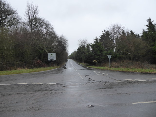
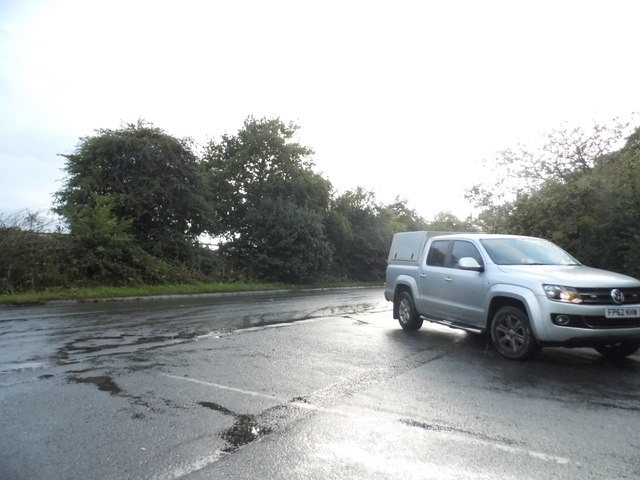
Gore's Copse is a picturesque wood located in the county of Wiltshire, England. Situated in the southwestern part of the county, near the village of West Grimstead, this ancient forest covers an area of approximately 10 hectares. The copse is easily accessible, being only a short distance from the A36 road.
The wood is predominantly composed of deciduous trees, with a diverse range of species including oak, beech, and ash. The dense canopy of these towering trees creates a cool and shaded environment, providing a welcome escape from the summer heat. The forest floor is covered in a lush carpet of mosses, ferns, and wildflowers, making it a haven for various types of wildlife.
Gore's Copse is not only a place of natural beauty but also holds historical significance. It is believed that the copse has existed for centuries, having been mentioned in documents dating back to the 12th century. The wood has witnessed many changes throughout its long history, including periods of deforestation for timber during the medieval era.
Today, Gore's Copse is a popular destination for nature enthusiasts, hikers, and photographers. Its tranquil atmosphere and scenic beauty make it an ideal spot for leisurely walks and picnics. The copse is also home to a network of footpaths, allowing visitors to explore its hidden corners and discover its rich biodiversity.
Overall, Gore's Copse is a cherished natural gem in Wiltshire, offering a peaceful retreat and a glimpse into the region's past.
If you have any feedback on the listing, please let us know in the comments section below.
Gore's Copse Images
Images are sourced within 2km of 51.486942/-1.5904142 or Grid Reference SU2876. Thanks to Geograph Open Source API. All images are credited.


Gore's Copse is located at Grid Ref: SU2876 (Lat: 51.486942, Lng: -1.5904142)
Unitary Authority: Wiltshire
Police Authority: Wiltshire
What 3 Words
///flinch.eclipses.grief. Near Aldbourne, Wiltshire
Nearby Locations
Related Wikis

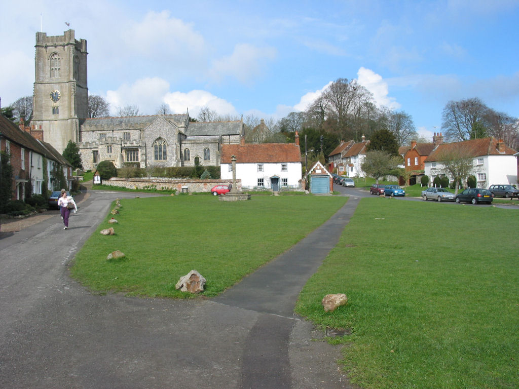
Baydon
Baydon is a village and civil parish in Wiltshire, England about 10 miles (16 km) south-east of Swindon. The eastern boundary of the parish forms part...

Membury Camp
Membury Camp, or Membury Fort, is the site of an Iron Age hill fort located on the borders of Wiltshire and Berkshire, (the county line divides the site...
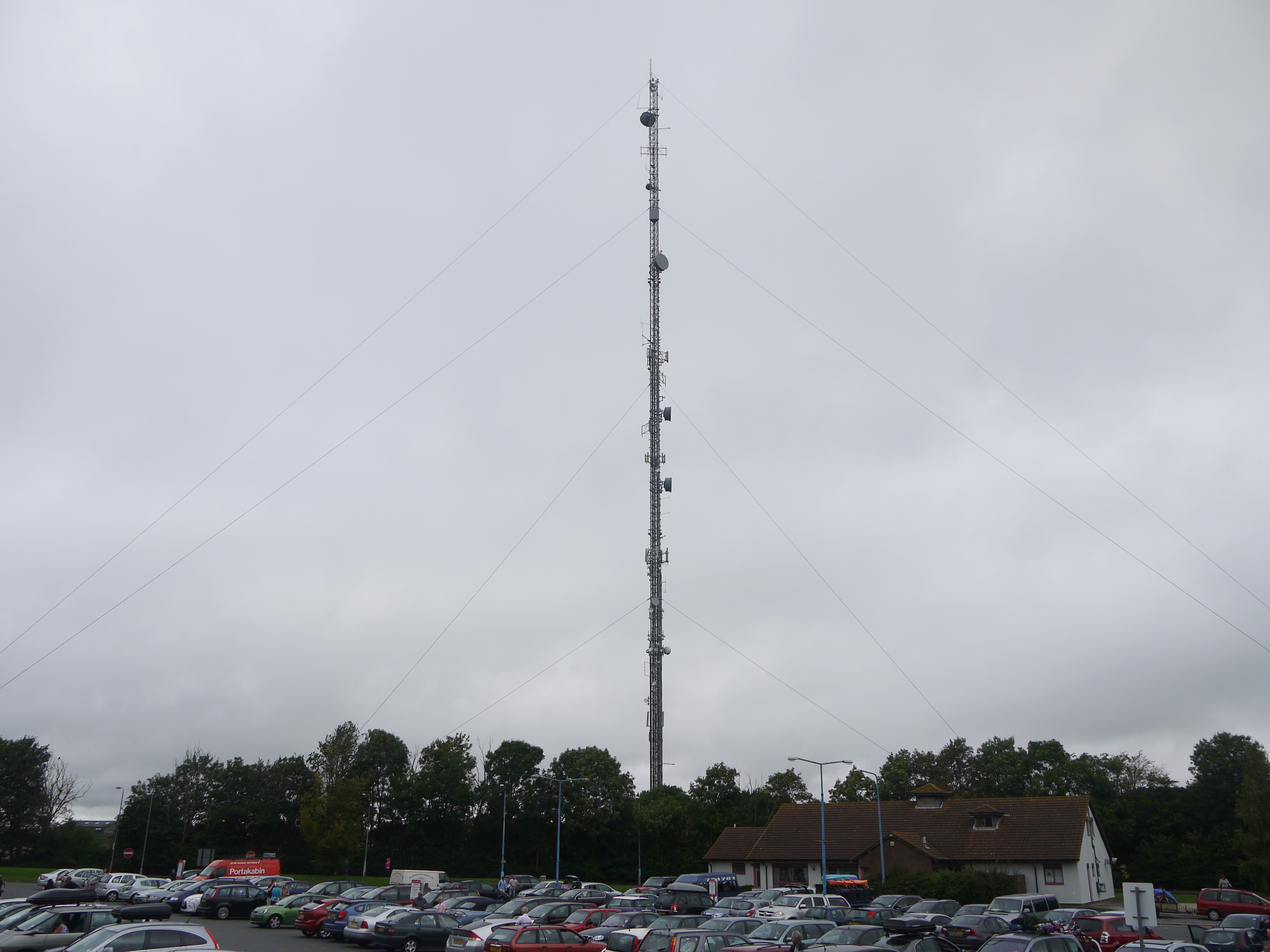
Membury transmitting station
The Membury transmitting station is a broadcasting and telecommunications facility, situated adjacent to the M4 motorway at the Membury services in the...
Aldbourne
Aldbourne ( AWLD-born) is a village and civil parish about 6 miles (10 km) north-east of Marlborough, Wiltshire, England, in a valley on the south slope...
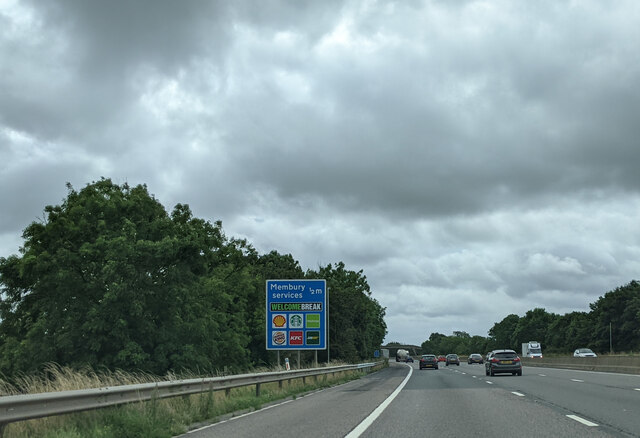
Membury services
Membury services is a motorway service station on the M4 motorway, located on the original site of RAF Membury in the civil parish of Lambourn in the English...

Fognam Chalk Quarry
Fognam Chalk Quarry is a 3-hectare (7.4-acre) geological Site of Special Scientific Interest west of Upper Lambourn in Berkshire. It is a Geological Conservation...

Lambourn Woodlands
Lambourn Woodlands is a hamlet in the English county of Berkshire. The village is situated in the civil parish of Lambourn, and is 2 miles (3.2 km) to...

Watts Bank
Watts Bank is a 1.9-hectare (4.7-acre) nature reserve south of Lambourn in Berkshire. It is managed by the Berkshire, Buckinghamshire and Oxfordshire...
Have you been to Gore's Copse?
Leave your review of Gore's Copse below (or comments, questions and feedback).