Midge Copse
Wood, Forest in Wiltshire
England
Midge Copse
Midge Copse is a small woodland area located in the county of Wiltshire, England. Situated near the village of Midgebury, it covers an area of approximately 20 acres. The copse is known for its dense and diverse tree population, which includes a variety of deciduous and evergreen species.
One of the prominent features of Midge Copse is its ancient woodland status, indicating that the site has been continuously wooded since at least 1600 AD. This designation highlights the copse's ecological importance and the historical value it holds within the local landscape.
The woodland is home to a range of wildlife, including various bird species, such as woodpeckers, owls, and songbirds. Small mammals like squirrels and hedgehogs can also be found here, along with a diverse insect population. The copse provides a valuable habitat and food source for these creatures, contributing to the overall biodiversity of the area.
Midge Copse offers a peaceful and tranquil environment for visitors to enjoy. It has a network of well-maintained footpaths that allow for leisurely walks and exploration of the woodland. The copse is particularly popular during the spring and summer months when the vibrant wildflowers are in bloom and the trees are adorned with lush foliage.
The management of Midge Copse is carried out by the local authorities, who strive to maintain its natural beauty and protect its wildlife. Regular conservation efforts are implemented to preserve the woodland's unique ecosystem and ensure its longevity for future generations to appreciate and enjoy.
If you have any feedback on the listing, please let us know in the comments section below.
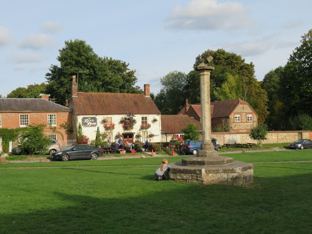
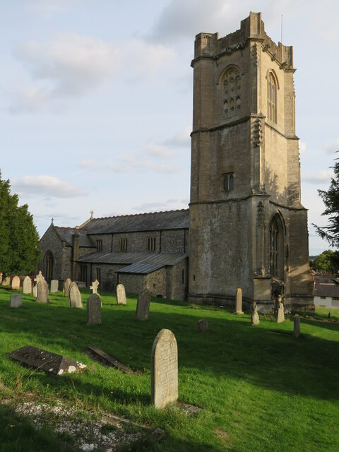
Midge Copse Images
Images are sourced within 2km of 51.487924/-1.5961808 or Grid Reference SU2876. Thanks to Geograph Open Source API. All images are credited.


Midge Copse is located at Grid Ref: SU2876 (Lat: 51.487924, Lng: -1.5961808)
Unitary Authority: Wiltshire
Police Authority: Wiltshire
What 3 Words
///lodge.count.yacht. Near Aldbourne, Wiltshire
Nearby Locations
Related Wikis

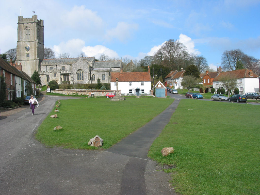
Baydon
Baydon is a village and civil parish in Wiltshire, England about 10 miles (16 km) south-east of Swindon. The eastern boundary of the parish forms part...
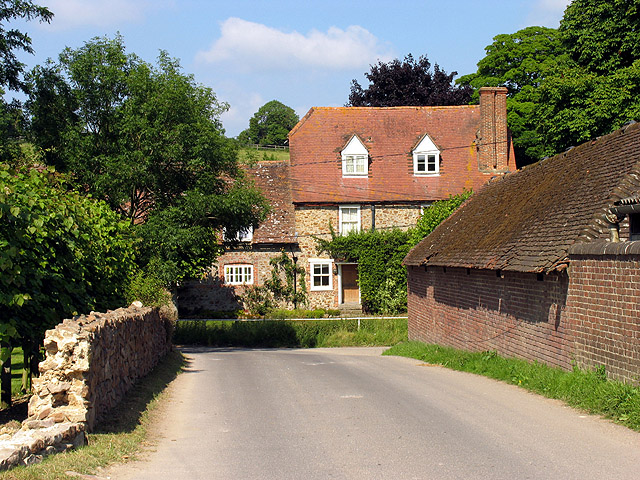
Aldbourne
Aldbourne ( AWLD-born) is a village and civil parish about 6 miles (10 km) north-east of Marlborough, Wiltshire, England, in a valley on the south slope...

Membury Camp
Membury Camp, or Membury Fort, is the site of an Iron Age hill fort located on the borders of Wiltshire and Berkshire, (the county line divides the site...
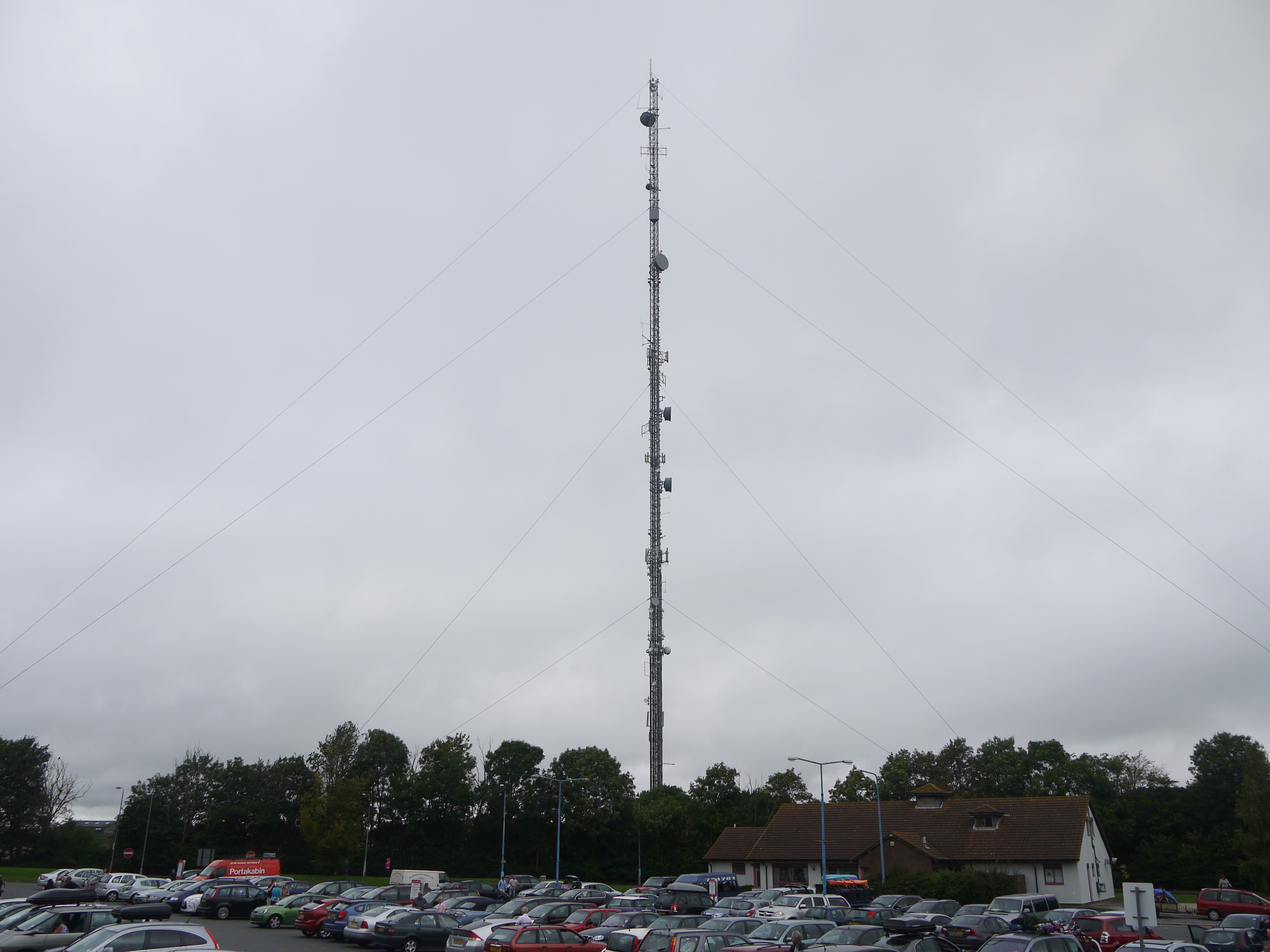
Membury transmitting station
The Membury transmitting station is a broadcasting and telecommunications facility, situated adjacent to the M4 motorway at the Membury services in the...
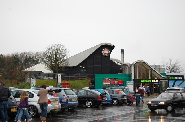
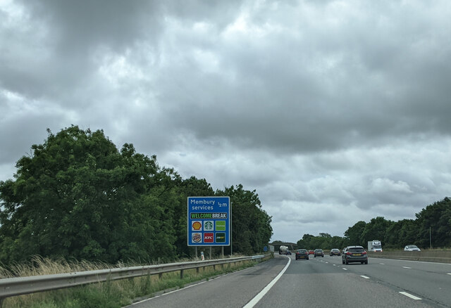
Membury services
Membury services is a motorway service station on the M4 motorway, located on the original site of RAF Membury in the civil parish of Lambourn in the English...

Fognam Chalk Quarry
Fognam Chalk Quarry is a 3-hectare (7.4-acre) geological Site of Special Scientific Interest west of Upper Lambourn in Berkshire. It is a Geological Conservation...

Lambourn Woodlands
Lambourn Woodlands is a hamlet in the English county of Berkshire. The village is situated in the civil parish of Lambourn, and is 2 miles (3.2 km) to...
Upper Lambourn
Upper Lambourn is a small village in the county of Berkshire, England. The village is situated in the civil parish of Lambourn , and is 1.2 miles (2 km...
Nearby Amenities
Located within 500m of 51.487924,-1.5961808Have you been to Midge Copse?
Leave your review of Midge Copse below (or comments, questions and feedback).