Ash Plantation
Wood, Forest in Oxfordshire West Oxfordshire
England
Ash Plantation
Ash Plantation is a serene and picturesque woodland located in Oxfordshire, England. Covering an area of approximately 100 acres, it is known for its abundant ash trees and diverse flora and fauna. The plantation is situated in the heart of the county, making it easily accessible for visitors and locals alike.
The woodland boasts a dense canopy of towering ash trees, providing a cool and shaded environment during the summer months. The trees are well-maintained and form a thick cover, creating a peaceful and secluded atmosphere. The woodland floor is carpeted with a variety of wildflowers, including bluebells, primroses, and violets, adding a vibrant burst of color to the landscape.
Ash Plantation offers a range of recreational activities for nature enthusiasts and outdoor lovers. There are well-maintained walking trails that wind through the woodland, allowing visitors to explore its beauty at their own pace. These trails are suitable for all abilities, making it an ideal destination for families and individuals of all ages.
The woodland is also home to a diverse range of wildlife. Birdwatchers can spot a variety of species, including woodpeckers, owls, and finches. Small mammals such as rabbits, squirrels, and foxes can also be seen in their natural habitat. The plantation management takes great care in preserving the ecosystem and maintaining a healthy balance between flora and fauna.
Overall, Ash Plantation is a tranquil and enchanting woodland that offers a peaceful escape from the bustling city life. With its breathtaking scenery, diverse wildlife, and recreational opportunities, it is a must-visit destination for nature lovers seeking solace and serenity in the heart of Oxfordshire.
If you have any feedback on the listing, please let us know in the comments section below.
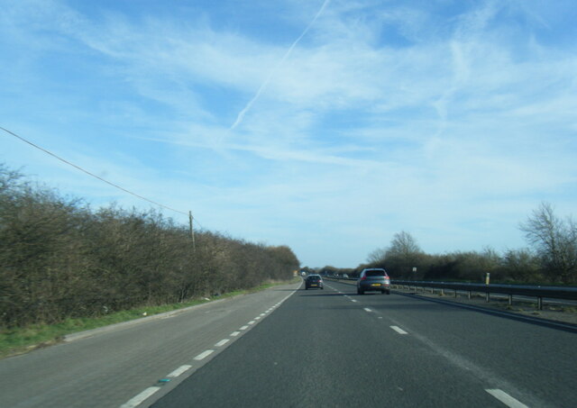
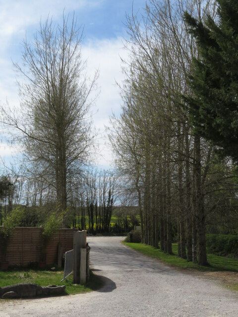
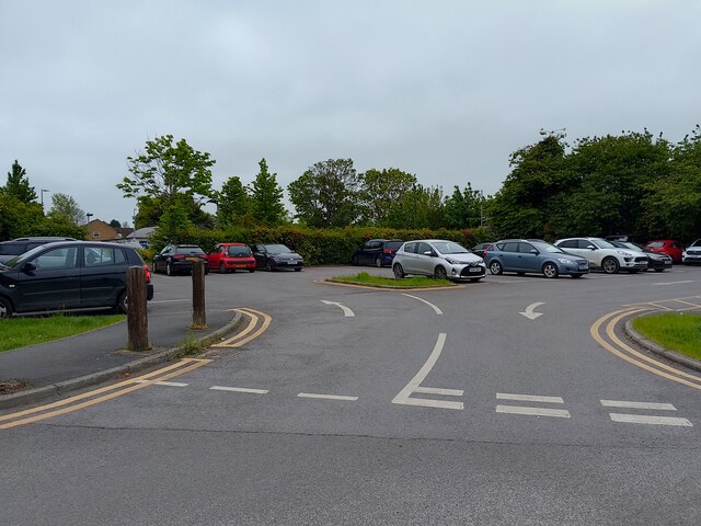
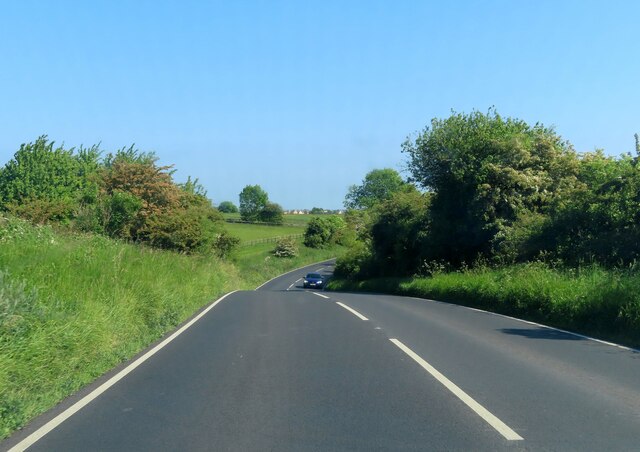
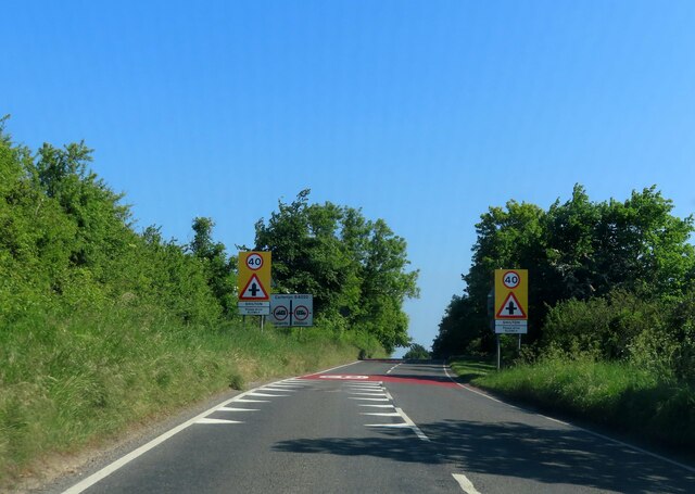
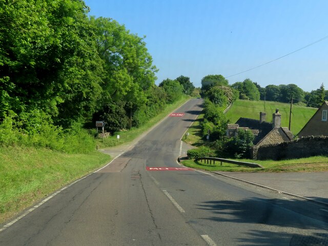
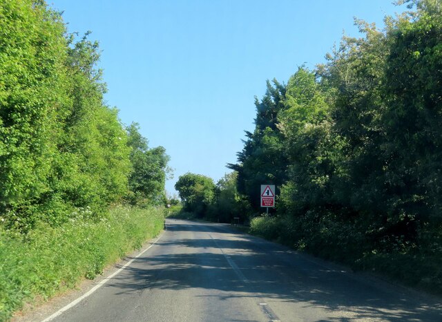
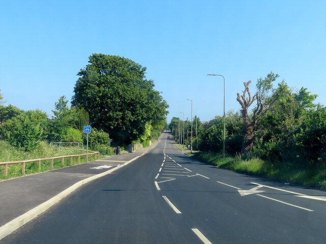
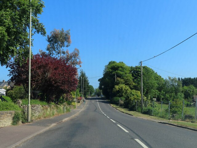
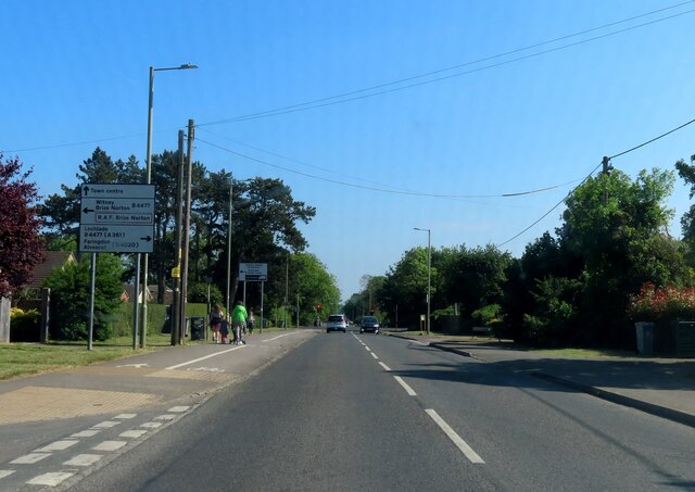
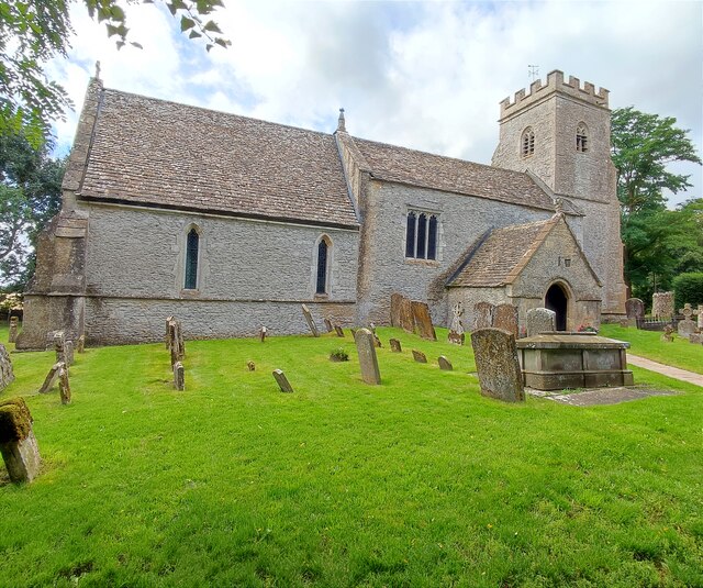
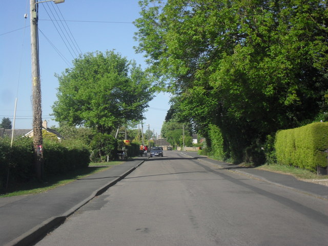
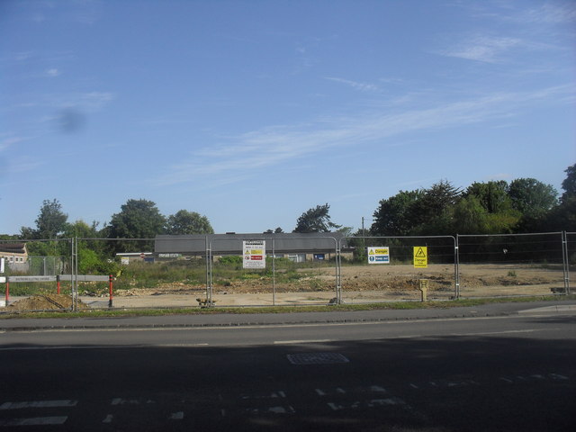
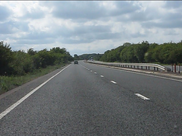
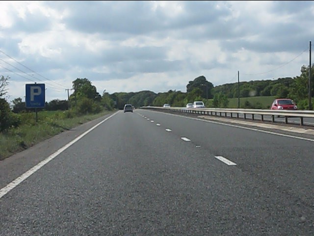
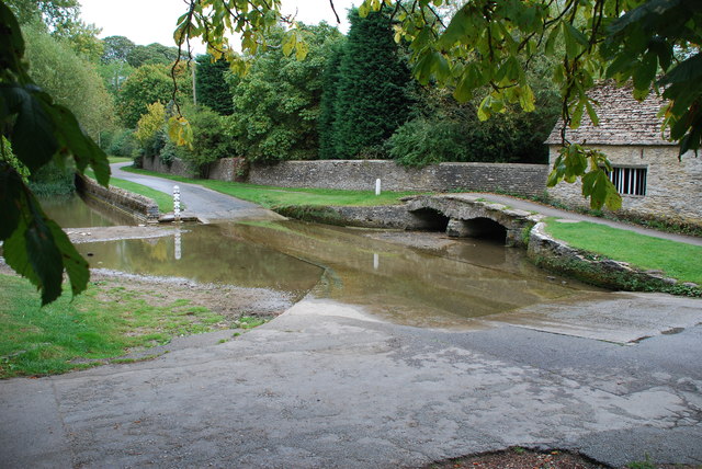
Ash Plantation Images
Images are sourced within 2km of 51.776105/-1.5936444 or Grid Reference SP2808. Thanks to Geograph Open Source API. All images are credited.
Ash Plantation is located at Grid Ref: SP2808 (Lat: 51.776105, Lng: -1.5936444)
Administrative County: Oxfordshire
District: West Oxfordshire
Police Authority: Thames Valley
What 3 Words
///whoever.munch.skimmers. Near Carterton, Oxfordshire
Nearby Locations
Related Wikis

Carterton F.C.
Carterton Football Club is a football club based in Carterton, Oxfordshire, England. They are currently members of the Oxfordshire Senior League Premier...
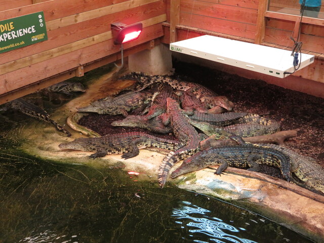
Crocodiles of the World
Crocodiles of the World is a zoo in Brize Norton, Oxfordshire in the United Kingdom specialising in crocodilia. == History == Crocodiles of the world was...
Carterton Community College
Carterton Community College is a coeducational secondary school located in Carterton in the English county of Oxfordshire.It is a community school administered...

Shilton, Oxfordshire
Shilton is a village and civil parish about 1+1⁄2 miles (2.4 km) northwest of Carterton, Oxfordshire. The 2011 Census recorded the parish's population...

Asthall barrow
Asthall barrow is a high-status Anglo-Saxon burial mound from the seventh century AD. It is located in Asthall, Oxfordshire, and was excavated in 1923...
Carterton, Oxfordshire
Carterton is a town in West Oxfordshire district in the county of Oxfordshire, England and is 4 miles (6.4 km) south-west of Witney. The 2011 Census recorded...
Royal Air Force Football Association
The Royal Air Force Football Association, also known as the RAF FA, is the governing body of football within the Royal Air Force. == RAF Challenge Cup... ==

Brize Norton
Brize Norton is a village and civil parish 1 mile (1.6 km) east of Carterton in West Oxfordshire. The 2011 Census recorded the parish population as 938...
Related Videos
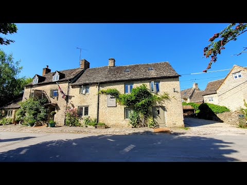
Walking at first light in the village of Asthall
Out and about Walking in Asthall Asthall is a small village set within the Windrush valley not too far from Burford and comes under ...

Will It Snow In UK This Year? #travel #snow #uk #calm #relaxing #life
We were so lucky to see it snow when we were in Carterton, Oxfordshire in Dec 2022.
Asthall, Cotswolds, Sleepy English Village Walking Tour 4K || English countryside
Welcome to this English village walking tour in 4K. Today I'm taking you on a walk of Asthall a picturesque English in the ...
Nearby Amenities
Located within 500m of 51.776105,-1.5936444Have you been to Ash Plantation?
Leave your review of Ash Plantation below (or comments, questions and feedback).