Cock's Head Wood
Wood, Forest in Derbyshire Derbyshire Dales
England
Cock's Head Wood

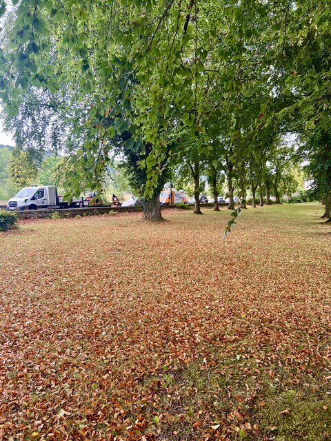
Cock's Head Wood, located in Derbyshire, England, is a picturesque woodland area that offers a serene and tranquil escape from the hustle and bustle of city life. Situated near the village of Tansley, this ancient wood is a popular destination for nature enthusiasts, hikers, and birdwatchers alike.
Covering an area of approximately 50 acres, Cock's Head Wood is primarily composed of deciduous trees, including oak, beech, and birch, which create a vibrant and diverse canopy during the spring and summer months. The forest floor is adorned with an array of wildflowers, such as bluebells and primroses, adding a splash of color to the woodland landscape.
The wood is crisscrossed by a network of well-maintained footpaths, allowing visitors to explore its beauty at their own pace. These paths lead to various viewpoints and clearings, offering breathtaking vistas of the surrounding countryside. Additionally, there are several benches strategically placed throughout the wood, providing a perfect spot for visitors to rest and soak in the peaceful ambiance.
Cock's Head Wood is not only renowned for its natural beauty but also for its rich biodiversity. The wood is home to a wide range of wildlife, including deer, foxes, badgers, and various species of birds. Birdwatchers can spot woodpeckers, owls, and even the rare pied flycatcher in the area, making it a haven for ornithology enthusiasts.
Overall, Cock's Head Wood is a hidden gem in Derbyshire, offering visitors a chance to connect with nature and enjoy the tranquility of a beautiful woodland setting. Whether it's a leisurely walk, birdwatching, or simply taking in the sights and sounds of the forest, this enchanting wood is sure to leave a lasting impression on all who visit.
If you have any feedback on the listing, please let us know in the comments section below.
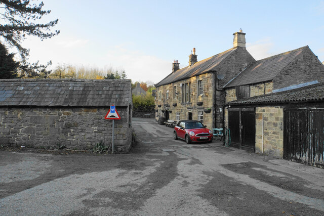
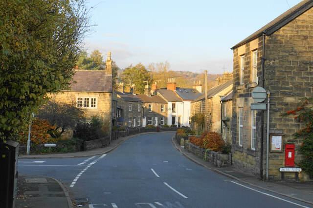
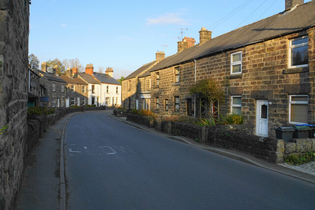
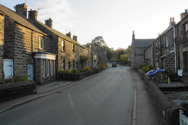
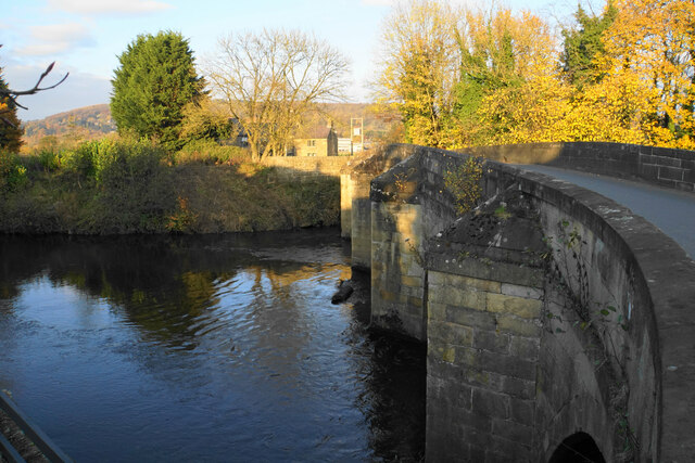
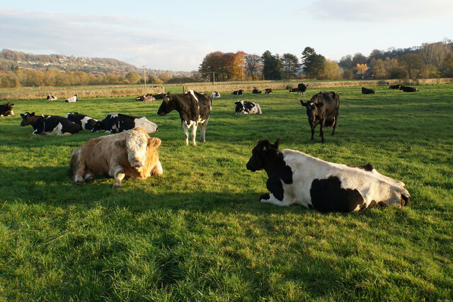
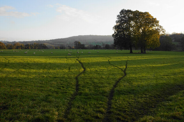
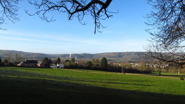
Cock's Head Wood Images
Images are sourced within 2km of 53.167098/-1.5784216 or Grid Reference SK2863. Thanks to Geograph Open Source API. All images are credited.


Cock's Head Wood is located at Grid Ref: SK2863 (Lat: 53.167098, Lng: -1.5784216)
Administrative County: Derbyshire
District: Derbyshire Dales
Police Authority: Derbyshire
What 3 Words
///megawatt.smooth.cheesy. Near Matlock, Derbyshire
Nearby Locations
Related Wikis

Whitworth Institute
The Whitworth Institute is a Grade II listed building in Darley Dale, Derbyshire.It was funded by the estate of the late Sir Joseph Whitworth who lived...
Darley Dale
Darley Dale, formerly Darley, is a town and civil parish in the Derbyshire Dales district of Derbyshire, England, with a population of 5,413. It lies...
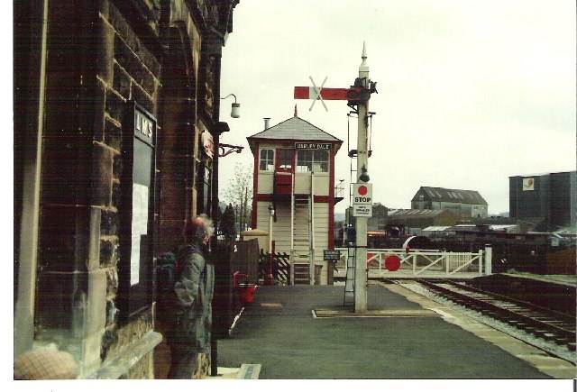
Darley Dale railway station
Darley Dale railway station is a railway station on the heritage line Peak Rail. == History == Lying at the bottom of Station Road in the settlement of...

Peak Rail
Peak Rail is a preserved railway in Derbyshire, England, which operates a steam and heritage diesel service for tourists and visitors to both the Peak...
St Elphin's School
St Elphins School was a boarding school for the daughters of the clergy of the Church of England. It was originally based in Warrington, Lancashire, England...

Stancliffe Hall
Stancliffe Hall is a grade II Listed building on Whitworth Road in the settlement of Darley Dale, near Matlock, Derbyshire. == Early history == In 1817...

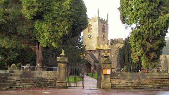
St Helen's Church, Darley Dale
St Helen's Church, Darley Dale is a Grade II* listed parish church in the Church of England in Darley Dale, Derbyshire. == History == The church has elements...

Farley, Derbyshire
Farley is a hamlet in the Derbyshire Dales district, in the English county of Derbyshire. It is near the town of Matlock. The nearest main road is the...
Nearby Amenities
Located within 500m of 53.167098,-1.5784216Have you been to Cock's Head Wood?
Leave your review of Cock's Head Wood below (or comments, questions and feedback).