Cock's Head
Hill, Mountain in Derbyshire Derbyshire Dales
England
Cock's Head

Cock's Head, located in Derbyshire, England, is a prominent hill standing at an elevation of 449 meters (1,473 feet). Situated in the Peak District National Park, this hill is renowned for its distinctive shape, resembling the head of a rooster or cockerel, hence its name.
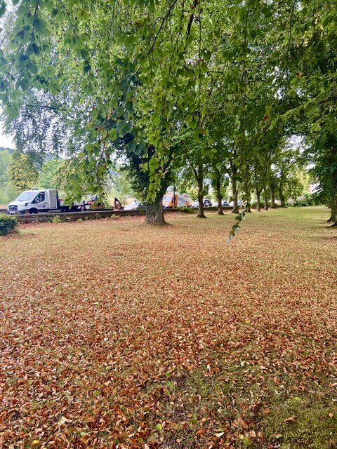
The summit of Cock's Head offers breathtaking panoramic views of the surrounding countryside, making it a popular destination for hikers, nature enthusiasts, and photographers. On a clear day, one can see the rolling hills, lush green valleys, and picturesque villages that dot the landscape. The hill's location within the national park also ensures a diverse range of flora and fauna, with heather moorlands, ancient woodlands, and meadows providing habitats for various species.
Access to Cock's Head is relatively straightforward, with well-marked footpaths leading to the summit. The hill is often included in hiking routes, allowing visitors to combine it with other nearby attractions, such as the famous Dovedale Valley or the historic village of Ilam. The area surrounding Cock's Head also offers opportunities for rock climbing and bouldering, attracting adventure enthusiasts seeking a more adrenaline-fueled experience.
Aside from its natural beauty, Cock's Head has historical significance as well. It is believed to have been an Iron Age hillfort, with remains of ancient earthworks and defensive structures still visible today. These remnants serve as a reminder of the hill's past and add an additional layer of intrigue for history buffs.
Overall, Cock's Head in Derbyshire is a captivating hill that combines stunning landscapes, outdoor activities, and historical significance, making it a must-visit destination for those exploring the Peak District National Park.
If you have any feedback on the listing, please let us know in the comments section below.
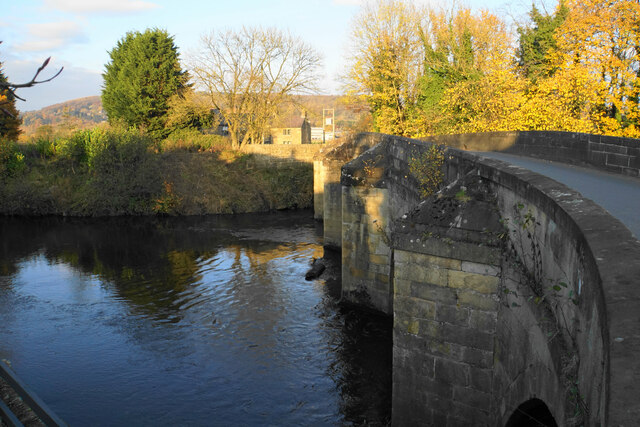
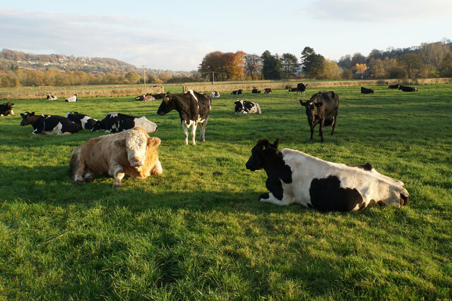
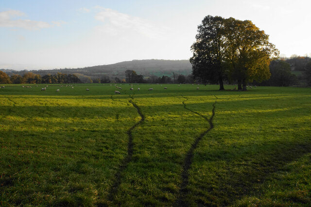
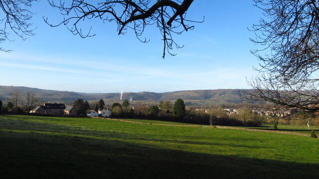
Cock's Head Images
Images are sourced within 2km of 53.167686/-1.5769948 or Grid Reference SK2863. Thanks to Geograph Open Source API. All images are credited.


Cock's Head is located at Grid Ref: SK2863 (Lat: 53.167686, Lng: -1.5769948)
Administrative County: Derbyshire
District: Derbyshire Dales
Police Authority: Derbyshire
What 3 Words
///promote.delighted.rezoning. Near Matlock, Derbyshire
Nearby Locations
Related Wikis

Whitworth Institute
The Whitworth Institute is a Grade II listed building in Darley Dale, Derbyshire.It was funded by the estate of the late Sir Joseph Whitworth who lived...
Darley Dale
Darley Dale, formerly Darley, is a town and civil parish in the Derbyshire Dales district of Derbyshire, England, with a population of 5,413. It lies...

St Elphin's School
St Elphins School was a boarding school for the daughters of the clergy of the Church of England. It was originally based in Warrington, Lancashire, England...
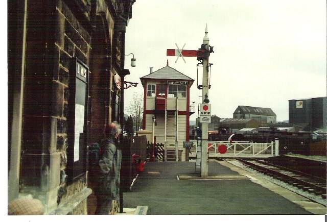
Darley Dale railway station
Darley Dale railway station is a railway station on the heritage line Peak Rail. == History == Lying at the bottom of Station Road in the settlement of...
Peak Rail
Peak Rail is a preserved railway in Derbyshire, England, which operates a steam and heritage diesel service for tourists and visitors to both the Peak...

Stancliffe Hall
Stancliffe Hall is a grade II Listed building on Whitworth Road in the settlement of Darley Dale, near Matlock, Derbyshire. == Early history == In 1817...

Farley, Derbyshire
Farley is a hamlet in the Derbyshire Dales district, in the English county of Derbyshire. It is near the town of Matlock. The nearest main road is the...

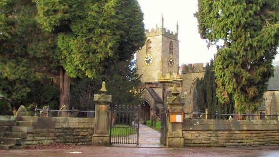
St Helen's Church, Darley Dale
St Helen's Church, Darley Dale is a Grade II* listed parish church in the Church of England in Darley Dale, Derbyshire. == History == The church has elements...
Nearby Amenities
Located within 500m of 53.167686,-1.5769948Have you been to Cock's Head?
Leave your review of Cock's Head below (or comments, questions and feedback).