Fancy Dam
Lake, Pool, Pond, Freshwater Marsh in Derbyshire Derbyshire Dales
England
Fancy Dam
Fancy Dam, located in Derbyshire, England, is a small and picturesque body of water that can be classified as a lake, pool, pond, and freshwater marsh. Spanning approximately 1 hectare, it is nestled within the scenic countryside, surrounded by rolling hills and lush vegetation.
The dam is formed by a natural barrier of rocks and earth, which enclose the water and prevent its flow. This feature not only gives Fancy Dam its unique character but also contributes to the preservation of its ecosystem.
The water in Fancy Dam is predominantly sourced from rainfall and springs, ensuring a constant supply of freshwater. This sustains a diverse range of aquatic plants and animal species that thrive in this habitat. The dam's shallow areas are often covered with a variety of water lilies, reeds, and rushes, providing shelter and food for numerous aquatic organisms.
The surrounding area of Fancy Dam is a haven for wildlife enthusiasts and nature lovers alike. It attracts a wide array of bird species, including ducks, swans, herons, and various waterfowl. These avian visitors can be spotted gracefully gliding across the water or nesting along the dam's edges. Additionally, small mammals like voles and water shrews find solace in the dam's marshy areas.
Visitors to Fancy Dam can enjoy a tranquil and serene atmosphere as they explore the surrounding walking trails, often shaded by trees and offering breathtaking views of the landscape. The dam's calm waters also provide opportunities for recreational activities such as fishing, boating, and picnicking.
Overall, Fancy Dam is a hidden gem in Derbyshire, offering a peaceful retreat for both nature enthusiasts and those seeking a serene escape amidst picturesque surroundings.
If you have any feedback on the listing, please let us know in the comments section below.
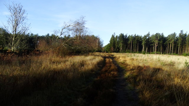
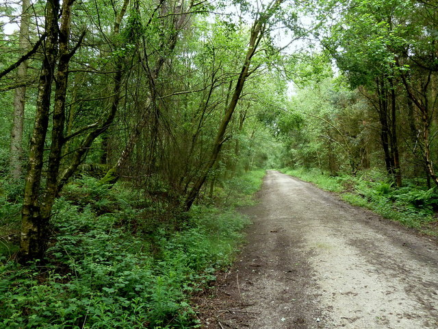
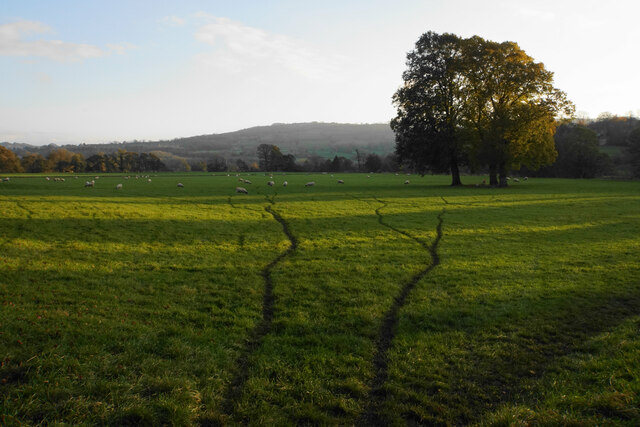
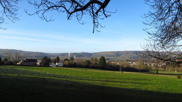
Fancy Dam Images
Images are sourced within 2km of 53.164375/-1.5687708 or Grid Reference SK2863. Thanks to Geograph Open Source API. All images are credited.


Fancy Dam is located at Grid Ref: SK2863 (Lat: 53.164375, Lng: -1.5687708)
Administrative County: Derbyshire
District: Derbyshire Dales
Police Authority: Derbyshire
What 3 Words
///define.ballooned.facing. Near Matlock, Derbyshire
Nearby Locations
Related Wikis

Farley, Derbyshire
Farley is a hamlet in the Derbyshire Dales district, in the English county of Derbyshire. It is near the town of Matlock. The nearest main road is the...

St Elphin's School
St Elphins School was a boarding school for the daughters of the clergy of the Church of England. It was originally based in Warrington, Lancashire, England...
Hackney, Derbyshire
Hackney and Upper Hackney are areas of settlement in Derbyshire, England. The population taken at the 2011 Census is included in the civil parish of Darley...

Whitworth Institute
The Whitworth Institute is a Grade II listed building in Darley Dale, Derbyshire.It was funded by the estate of the late Sir Joseph Whitworth who lived...

Whitworth Hospital, Matlock
Whitworth Hospital is a healthcare facility on the Bakewell Road between Darley Dale and Matlock in Derbyshire, England. It is managed by Derbyshire Community...
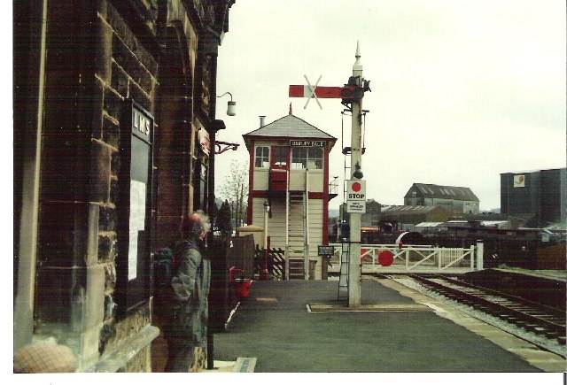
Darley Dale railway station
Darley Dale railway station is a railway station on the heritage line Peak Rail. == History == Lying at the bottom of Station Road in the settlement of...
Peak Rail
Peak Rail is a preserved railway in Derbyshire, England, which operates a steam and heritage diesel service for tourists and visitors to both the Peak...

Darley Dale
Darley Dale, formerly Darley, is a town and civil parish in the Derbyshire Dales district of Derbyshire, England, with a population of 5,413. It lies...
Nearby Amenities
Located within 500m of 53.164375,-1.5687708Have you been to Fancy Dam?
Leave your review of Fancy Dam below (or comments, questions and feedback).