Ash Plantation
Wood, Forest in Derbyshire Amber Valley
England
Ash Plantation

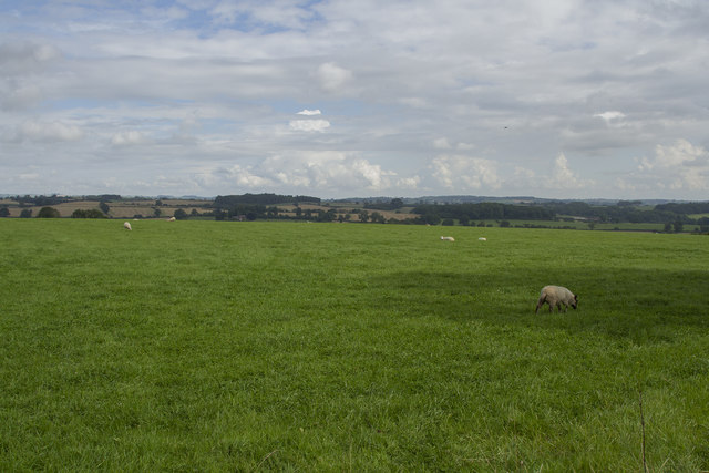
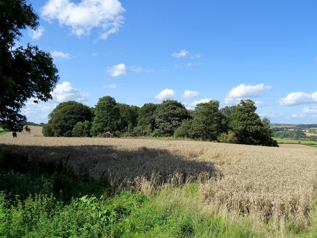
Ash Plantation is a sprawling woodland area located in Derbyshire, England. Covering an impressive area of approximately 300 acres, this plantation is a haven for nature enthusiasts and those seeking tranquility amidst natural surroundings.
The woodland is primarily composed of ash trees, which dominate the landscape and give the plantation its name. These tall and majestic trees create a dense canopy that provides shade and shelter for a diverse range of flora and fauna. The plantation boasts a rich biodiversity, with various species of plants, flowers, and shrubs thriving in its fertile soil.
Walking through Ash Plantation, visitors are treated to a picturesque scene of winding pathways and well-maintained trails. The woodland floor is carpeted with a lush carpet of ferns, mosses, and wildflowers, adding to the enchanting ambiance.
The plantation is home to a wide variety of wildlife, making it a popular spot for bird watching and animal spotting. Bird species such as woodpeckers, owls, and warblers can be heard and seen throughout the woodland, while mammals like squirrels, foxes, and deer roam freely.
Ash Plantation is open to the public year-round, offering visitors the opportunity to immerse themselves in nature and experience the beauty of Derbyshire's countryside. Whether it's a peaceful walk, a picnic, or simply a moment of solitude, this woodland provides a serene and rejuvenating escape from the hustle and bustle of everyday life.
If you have any feedback on the listing, please let us know in the comments section below.
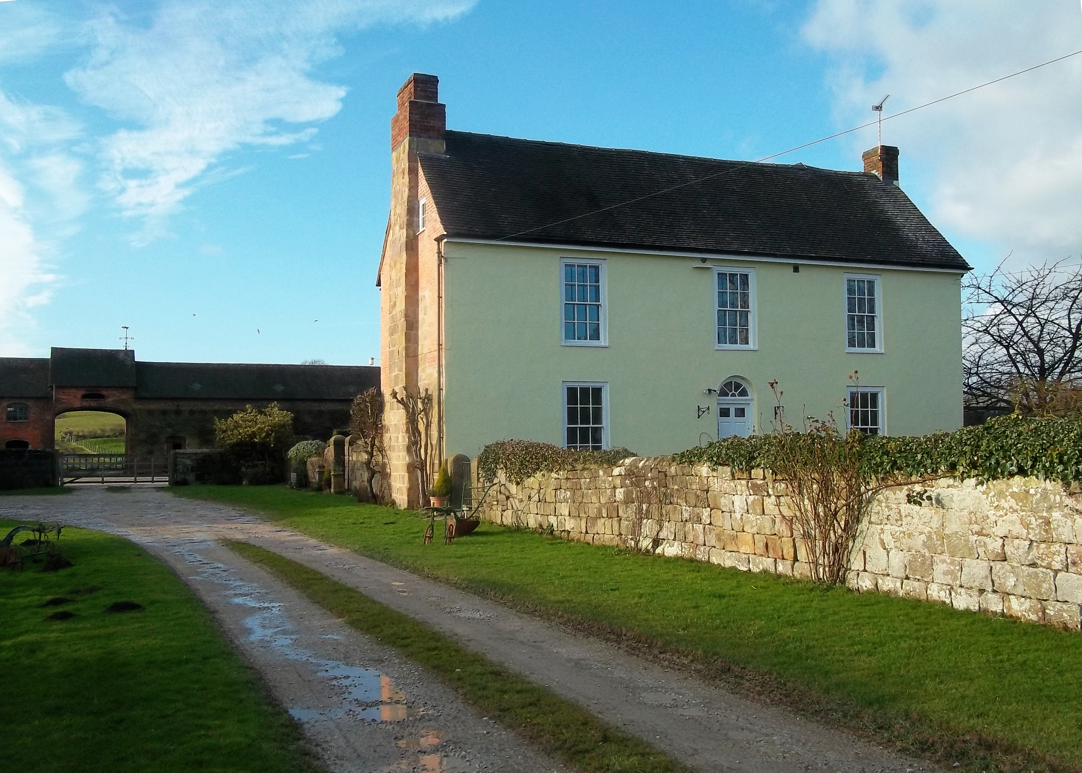
Ash Plantation Images
Images are sourced within 2km of 52.955492/-1.5804662 or Grid Reference SK2839. Thanks to Geograph Open Source API. All images are credited.


Ash Plantation is located at Grid Ref: SK2839 (Lat: 52.955492, Lng: -1.5804662)
Administrative County: Derbyshire
District: Amber Valley
Police Authority: Derbyshire
What 3 Words
///cages.shop.handle. Near Duffield, Derbyshire
Nearby Locations
Related Wikis

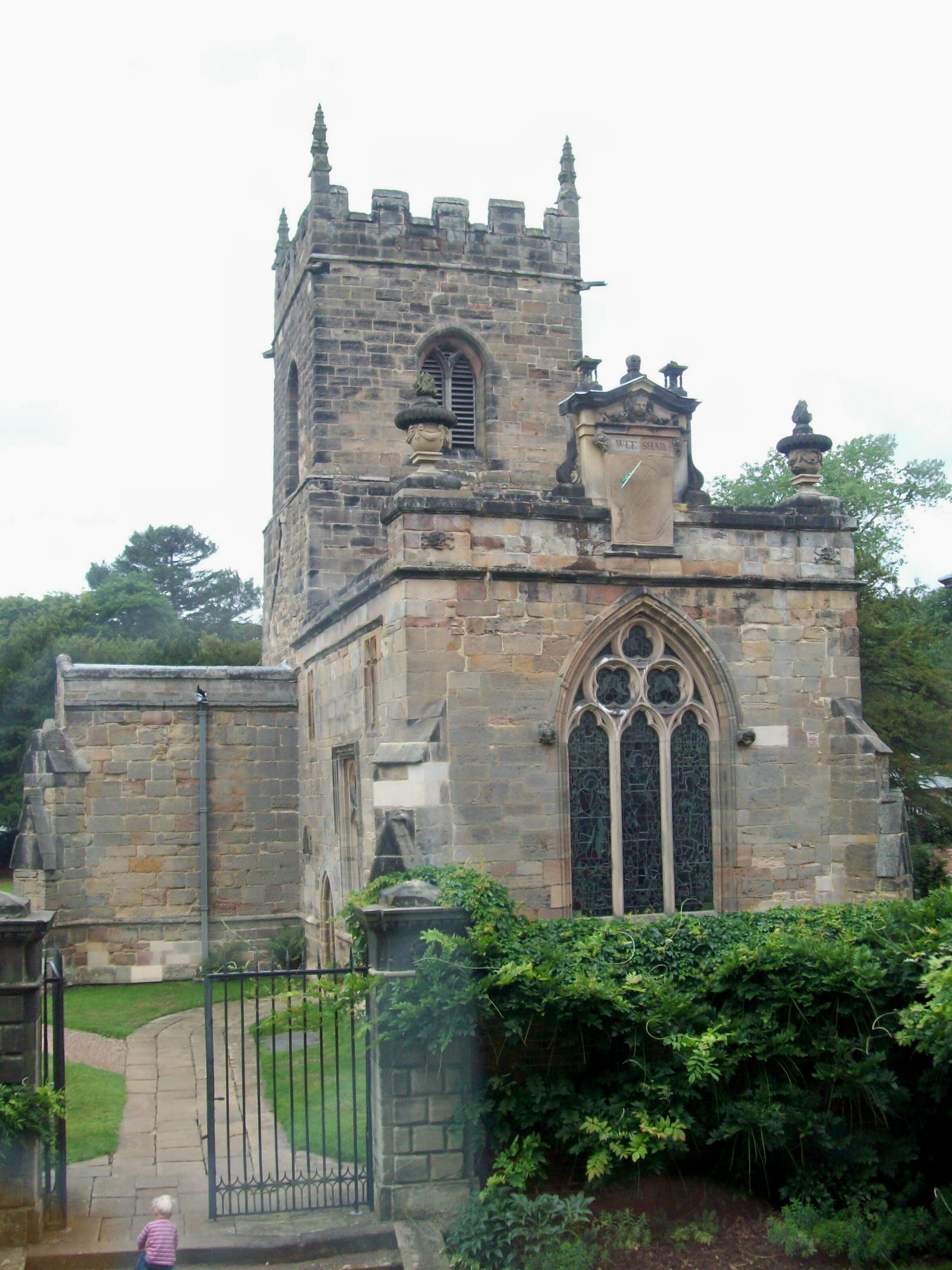
St Michael's Church, Kirk Langley
St Michael's Church, Kirk Langley is a Grade I listed parish church in the Church of England in Kirk Langley, Derbyshire. == History == The church dates...
Kirk Langley
Kirk Langley is a village and civil parish in Derbyshire. The village is 4 miles (6.4 km) northwest of Derby and 2 miles (3.2 km) south east of Brailsford...

Meynell Langley
Meynell Langley is a small area of settlement in Derbyshire, England. It is located between Kirk Langley and Kedleston. Meynell Langley Hall is the ancestral...
Mercaston Hall
Mercaston Hall is a 16th-century timber framed farmhouse within the hamlet of Mercaston, near the market town of Ashbourne, Derbyshire, England. It is...
Kedleston
Kedleston is a village and civil parish in the Amber Valley district of Derbyshire, approximately 4 miles (6.4 km) north-west of Derby. Nearby places include...

Weston Underwood, Derbyshire
Weston Underwood is an agricultural village and civil parish in the Amber Valley district of Derbyshire. The population of the Civil Parish (comprising...
All Saints Church, Kedleston
All Saints' Church, Kedleston, is a redundant Anglican Church approx. 4 miles [6km] north-west of Derby, and all that remains of the medieval village of...

All Saints' Church, Mugginton
All Saints’ Church, Mugginton is a Grade I listed parish church in the Church of England in Weston Underwood, Derbyshire. == History == The church dates...
Nearby Amenities
Located within 500m of 52.955492,-1.5804662Have you been to Ash Plantation?
Leave your review of Ash Plantation below (or comments, questions and feedback).