Denholmhill

Settlement in Roxburghshire

Scotland

Denholmhill

Farmland at Whitriggs Viewed from the edge of the square by a minor road to Denholm with buildings in the background at Whitriggs Farm.
Farmland at Whitriggs Credit: Walter Baxter

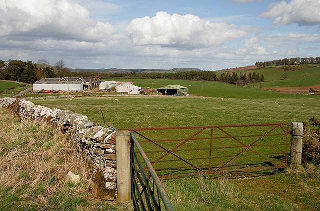
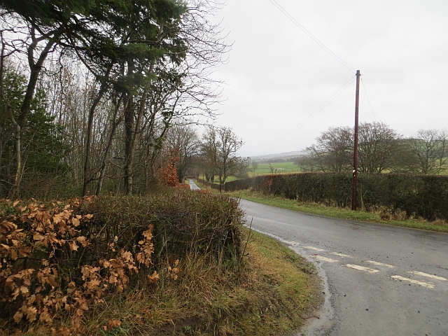
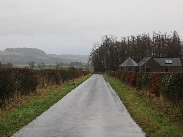
Denholmhill is a small rural village located in the county of Roxburghshire, in the Scottish Borders region of Scotland. Situated amidst picturesque rolling hills and valleys, Denholmhill offers a tranquil and idyllic setting for residents and visitors alike.

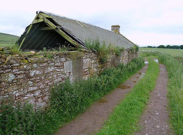
The village is known for its charming and traditional architecture, with many of the buildings dating back several centuries. The local community takes great pride in preserving the historical character of the village, evident in the well-maintained stone houses and quaint streets.

Denholmhill is home to a close-knit community that values its heritage and actively engages in local events and activities. The village has a strong sense of community spirit, with regular gatherings and celebrations organized throughout the year. These events often showcase traditional Scottish culture, including music, dancing, and Highland games.

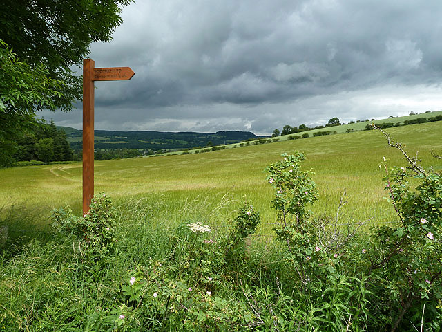
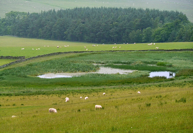
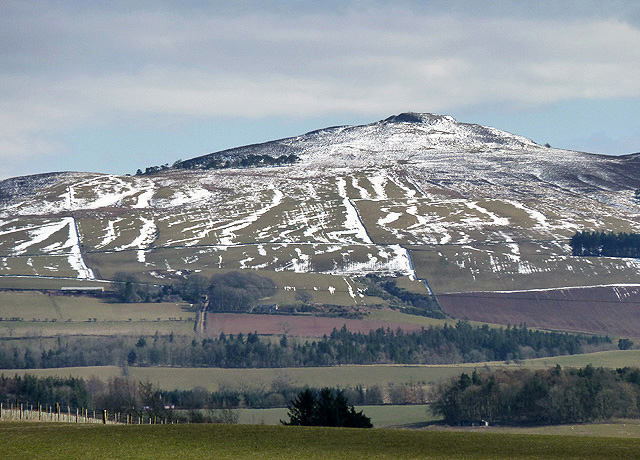
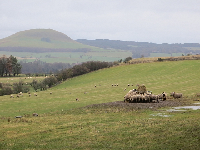
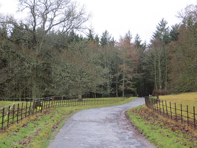
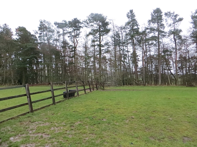
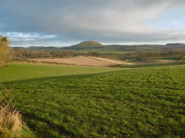
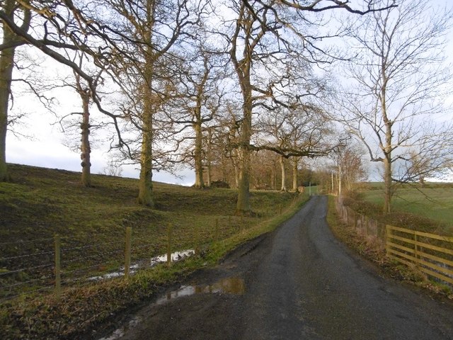
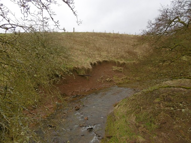
Surrounded by lush green landscapes, Denholmhill offers ample opportunities for outdoor activities. The village is located near the River Teviot, which provides excellent fishing opportunities for angling enthusiasts. Additionally, the surrounding countryside is ideal for hiking, cycling, and horse riding, with numerous trails and paths to explore.

Despite its rural location, Denholmhill is well-connected to the wider region. The nearby town of Hawick, just a short distance away, provides essential amenities such as shops, schools, and healthcare facilities. The village also benefits from good road links, making it easily accessible for those wishing to explore the stunning Scottish Borders region.

Overall, Denholmhill is a charming and picturesque village that offers a peaceful retreat from the hustle and bustle of modern life. With its rich history, strong community spirit, and stunning natural surroundings, it is a place that truly embodies the beauty and charm of rural Scotland.

If you have any feedback on the listing, please let us know in the comments section below.
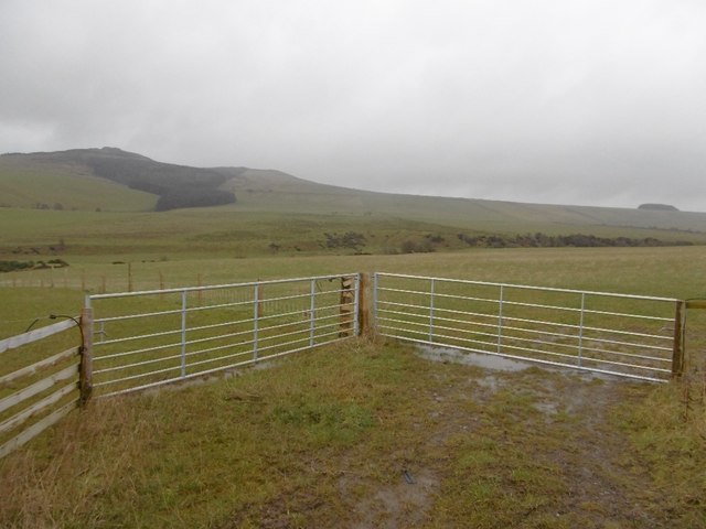
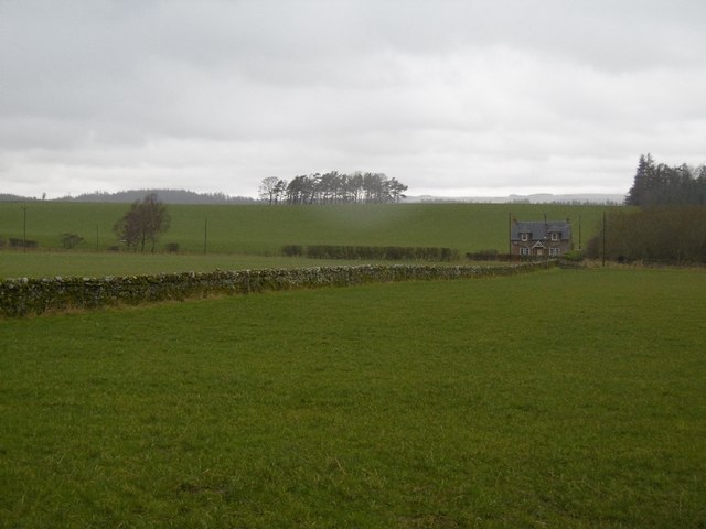
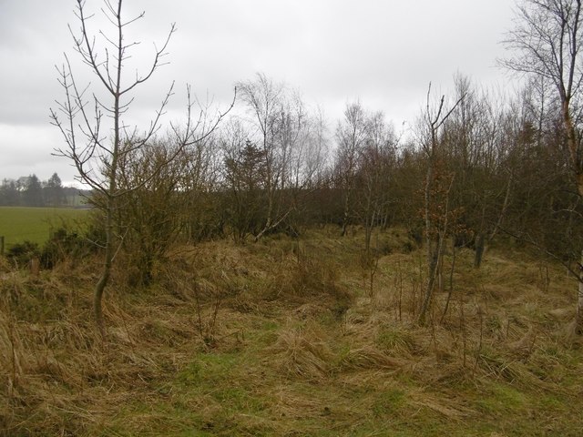
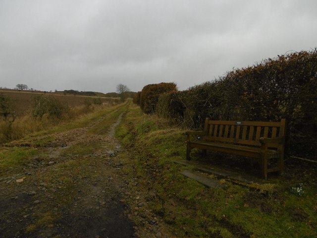
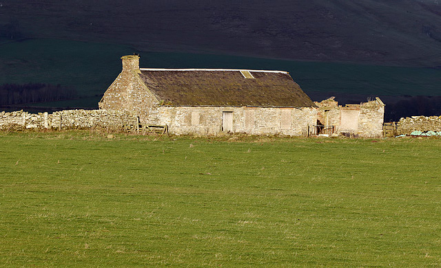
Denholmhill Images

Images are sourced within 2km of 55.435897/-2.6969354 or Grid Reference NT5616. Thanks to Geograph Open Source API. All images are credited.

Farmland at Whitriggs Viewed from the edge of the square by a minor road to Denholm with buildings in the background at Whitriggs Farm.
Farmland at Whitriggs
Viewed from the edge of the square by a minor road to Denholm with buildings in the background at Whitriggs Farm.
Farmland at Denholm This arable field on the southeast side of Denholm Dean was viewed from the track to Denholm Hill. The footpath sign indicates that the distance to Denholm Hill is half a mile.
Farmland at Denholm
This arable field on the southeast side of Denholm Dean was viewed from the track to Denholm Hill. The footpath sign indicates that the distance to Denholm Hill is half a mile.
Quarry Cottages These old ruined cottages on the south side of Denholm are near a disused quarry.
Quarry Cottages
These old ruined cottages on the south side of Denholm are near a disused quarry.
A pond at Ruberslaw Covert Aquatic vegetation has taken over this pond to the east of Denholmhill.
A pond at Ruberslaw Covert
Aquatic vegetation has taken over this pond to the east of Denholmhill.
The west side of Ruberslaw This zoom view of the hill was taken in early April from the B6359 near Horsleyhill.
The west side of Ruberslaw
This zoom view of the hill was taken in early April from the B6359 near Horsleyhill.
Sheep at a cratch Demolition of a round bale at Cavers, Roxburghshire.
Sheep at a cratch
Demolition of a round bale at Cavers, Roxburghshire.
Castle Park, Cavers The road is used by the Hawick Circular Ride.
Castle Park, Cavers
The road is used by the Hawick Circular Ride.
Doctor's Plantation A wide strip beyond some paddocks.
Doctor's Plantation
A wide strip beyond some paddocks.
Road, Little Cavers Passing through Meg Lamb's Wood.
Road, Little Cavers
Passing through Meg Lamb's Wood.
Road near Cavers Mains The house at the end is newly built.
Road near Cavers Mains
The house at the end is newly built.
Field, Cavers Early morning view of the Minto Hills, Teviotdale.
Field, Cavers
Early morning view of the Minto Hills, Teviotdale.
Road, Little Cavers Passing some fine oak trees.
Road, Little Cavers
Passing some fine oak trees.
Two gates, Effledge Entrance to a couple of fields under Rubers Law.
Two gates, Effledge
Entrance to a couple of fields under Rubers Law.
Effledge Pasture in damp weather.
Effledge
Pasture in damp weather.
Effledge Strip A recently replanted length of stripwood.
Effledge Strip
A recently replanted length of stripwood.
Dean Burn Upstream of Denholm.  The burn is carving into the bank, note the exposed pipework.
Dean Burn
Upstream of Denholm. The burn is carving into the bank, note the exposed pipework.
Road to Denholm Quarry The road, now signposted as a path once served a quarry.
Road to Denholm Quarry
The road, now signposted as a path once served a quarry.
Quarry Cottages These ruined cottages near a disused quarry are on the south side of Denholm. For an earlier view from a different angle, see <a href="https://www.geograph.org.uk/photo/3203792">NT5716 : Quarry Cottages</a>.
Quarry Cottages
These ruined cottages near a disused quarry are on the south side of Denholm. For an earlier view from a different angle, see NT5716 : Quarry Cottages.
Show me another place!

Denholmhill is located at Grid Ref: NT5616 (Lat: 55.435897, Lng: -2.6969354)

Unitary Authority: The Scottish Borders

Police Authority: The Lothians and Scottish Borders

What 3 Words

///motoring.shorten.uproot. Near Hawick, Scottish Borders

Related Wikis

Cavers, Scottish Borders

Cavers is a parish in the Scottish Borders area of Scotland, in the former county of Roxburghshire, south and east of Hawick. The largest village in the...

Cavers Castle

Cavers Castle, also known as Cavers House, is a ruined tower house located at Cavers, Scottish Borders, Scotland. Cavers Castle was a much extended tower...

Rubers Law

Rubers Law is a prominent, conical hill in the Scottish Borders area of south-east Scotland. It stands on the south bank of the River Teviot, between the...

Westgate Hall, Denholm

Westgate Hall is located in Westgate in the village of Denholm, Roxburghshire, in the Scottish Borders. It stands at the western and south-western approaches...

Nearby Amenities

Located within 500m of 55.435897,-2.6969354
Give Way
Direction: forward
Lat/Long: 55.4316728/-2.6970145
Give Way
Direction: forward
Lat/Long: 55.4377227/-2.6917924
Glenwood
Place: isolated_dwelling
Lat/Long: 55.4395359/-2.6928651
Power: pole
Lat/Long: 55.431433/-2.6969897
Power: pole
Lat/Long: 55.431818/-2.6964808
Power: pole
Lat/Long: 55.432202/-2.6959861
Power: pole
Lat/Long: 55.432596/-2.6954719
Power: pole
Lat/Long: 55.4332296/-2.6946202
Power: pole
Lat/Long: 55.4338993/-2.6937287
Power: pole
Lat/Long: 55.4344256/-2.693037
Power: pole
Lat/Long: 55.434959/-2.6923408
Power: pole
Lat/Long: 55.4359885/-2.690997
Power: pole
Lat/Long: 55.4365158/-2.6902858
Power: pole
Lat/Long: 55.4370611/-2.6895631
Generator Method: photovoltaic
Generator Output Electricity: yes
Generator Source: solar
Generator Type: solar_photovoltaic_panel
Power: generator
Lat/Long: 55.4342207/-2.6967725
The data included in this document is from www.openstreetmap.org. The data is made available under ODbL.

Have you been to Denholmhill?

Leave your review of Denholmhill below (or comments, questions and feedback).