Clyde Linn
Lake, Pool, Pond, Freshwater Marsh in Roxburghshire
Scotland
Clyde Linn
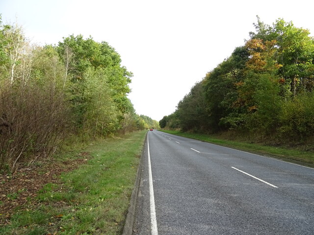
Clyde Linn is a picturesque freshwater marsh located in the region of Roxburghshire in Scotland. Known for its serene beauty and tranquility, it is a popular destination for nature enthusiasts and birdwatchers alike.
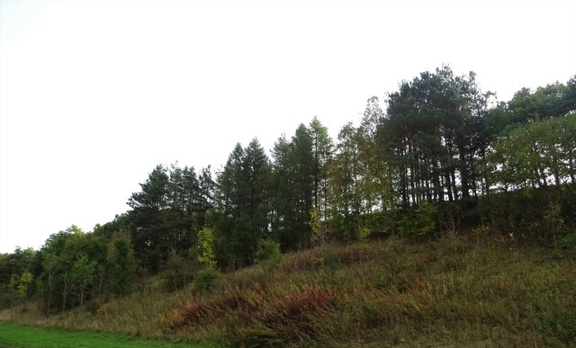
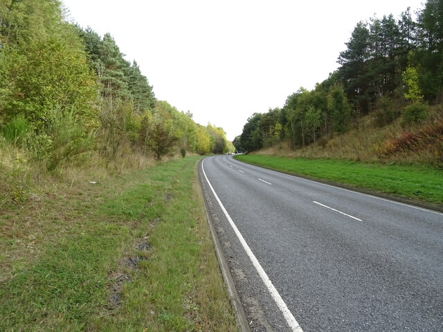
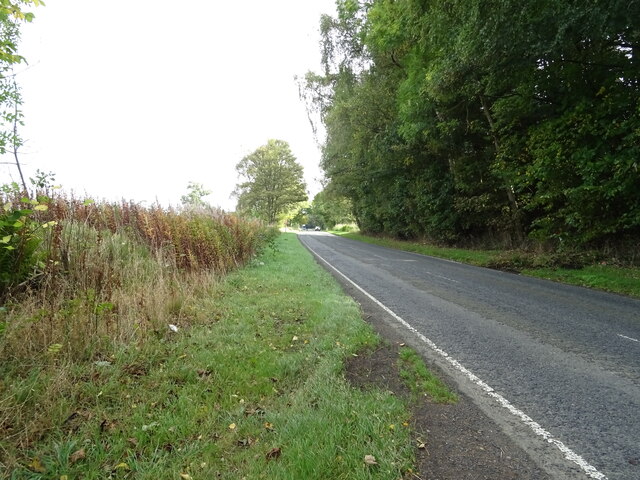
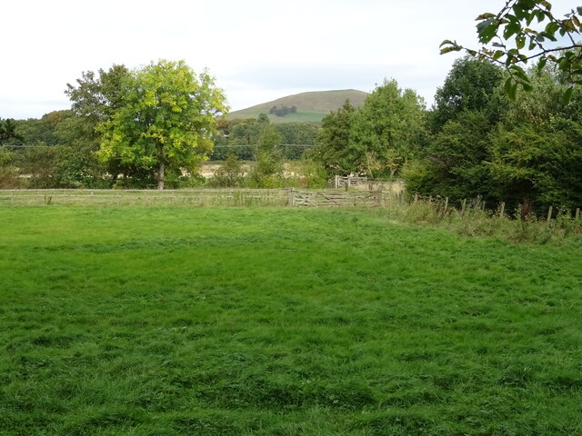
Covering an area of approximately 10 hectares, Clyde Linn is surrounded by rolling hills and lush greenery, creating a stunning backdrop for its diverse ecosystem. The marsh is primarily fed by the Clyde River, which flows through the area, providing a constant supply of freshwater. This, in turn, supports a wide variety of aquatic flora and fauna.
The marsh is characterized by its shallow waters, which form a sprawling lake, pool, and pond complex. These interconnected bodies of water create a unique habitat for a rich diversity of plant and animal life. The marsh is home to various species of waterfowl, including ducks, geese, and swans, which can often be seen gracefully gliding across the water's surface.
Surrounding the marsh, visitors can explore the lush wetland vegetation, which includes rushes, sedges, and reeds. These plants provide important shelter and nesting sites for many bird species, as well as food sources for insects and small mammals.
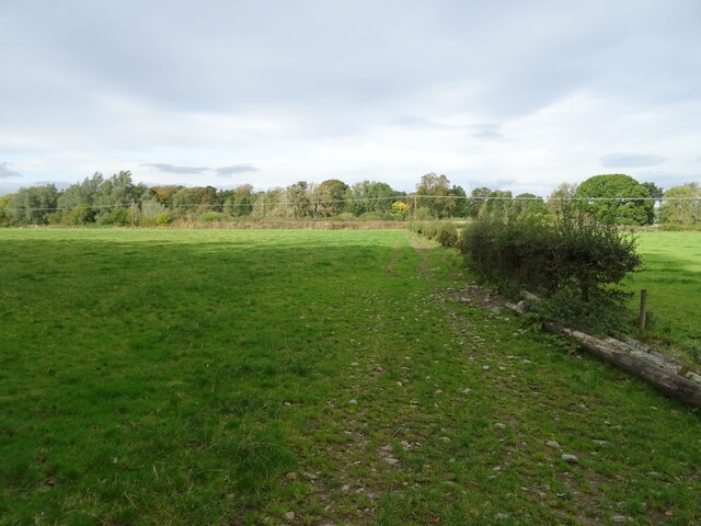
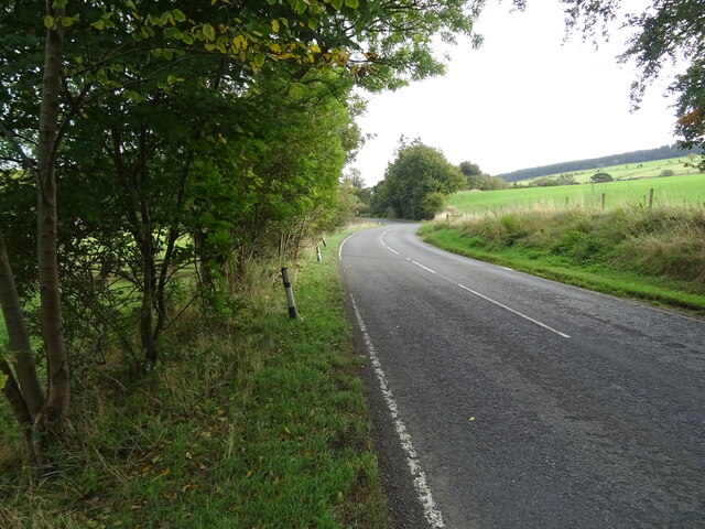
Clyde Linn is not only a haven for wildlife but also offers recreational opportunities for visitors. Walking trails have been established around the marsh, allowing visitors to experience the beauty of the area up close. Additionally, bird hides have been strategically placed to provide birdwatchers with optimal viewing points to observe the diverse avian population.
Overall, Clyde Linn in Roxburghshire is a captivating freshwater marsh that showcases the natural splendor of the Scottish countryside. Whether it's the stunning views, diverse wildlife, or recreational activities, it offers something for everyone to enjoy.
If you have any feedback on the listing, please let us know in the comments section below.
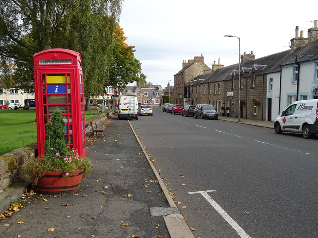
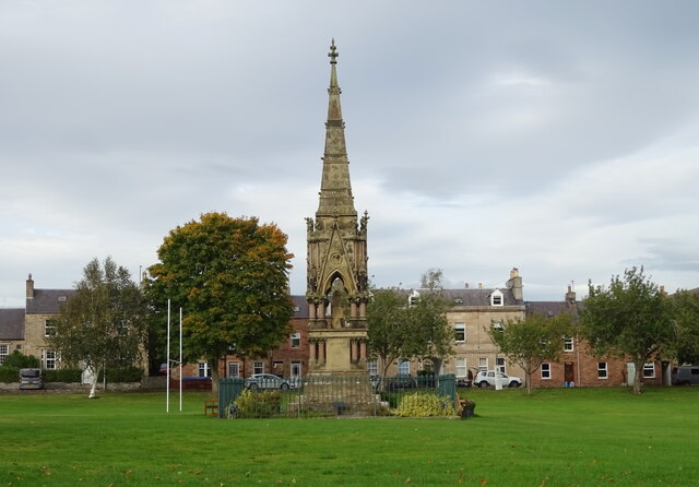
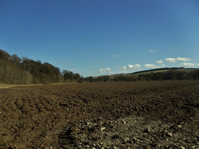
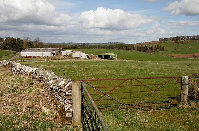
Clyde Linn Images
Images are sourced within 2km of 55.442965/-2.6944835 or Grid Reference NT5616. Thanks to Geograph Open Source API. All images are credited.

Clyde Linn is located at Grid Ref: NT5616 (Lat: 55.442965, Lng: -2.6944835)
Unitary Authority: The Scottish Borders
Police Authority: The Lothians and Scottish Borders
What 3 Words
///tastings.goes.peachy. Near Hawick, Scottish Borders
Nearby Locations
Related Wikis

Westgate Hall, Denholm
Westgate Hall is located in Westgate in the village of Denholm, Roxburghshire, in the Scottish Borders. It stands at the western and south-western approaches...
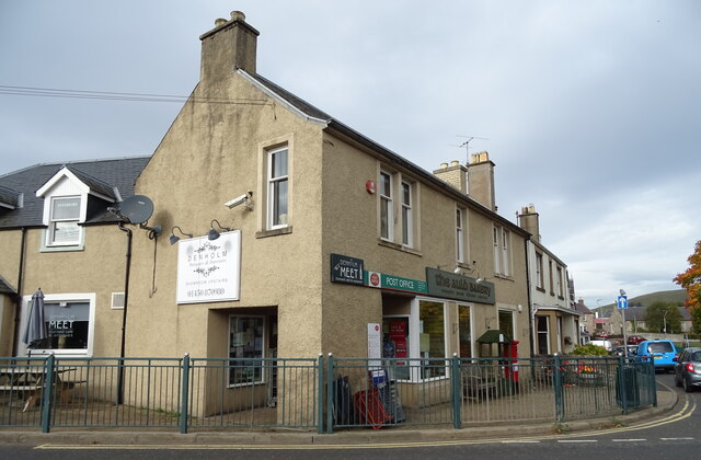
Denholm
Denholm is a small village located between Jedburgh and Hawick in the Scottish Borders region of Scotland, UK. The estimated population of Denholm is 600...

Rubers Law
Rubers Law is a prominent, conical hill in the Scottish Borders area of south-east Scotland. It stands on the south bank of the River Teviot, between the...

Cavers, Scottish Borders
Cavers is a parish in the Scottish Borders area of Scotland, in the former county of Roxburghshire, south and east of Hawick. The largest village in the...

Cavers Castle
Cavers Castle, also known as Cavers House, is a ruined tower house located at Cavers, Scottish Borders, Scotland. Cavers Castle was a much extended tower...

Minto, Scottish Borders
Minto is a village and parish in the Scottish Borders area of Scotland in Roxburghshire county. It is located 6 miles (10 kilometres) north-east of Hawick...
Spittal-on-Rule
Spittal-on-Rule is a farm in the council area of Scottish Borders in Scotland. As the name suggests it is situated on the river Rule Water, and the Spittal...

Kirkton, Scottish Borders
Kirkton is a village in the Scottish Borders area of Scotland, off the A6088, near Hawick. Grid Ref. NT5413. It is a former parish, amalgamated into the...
Nearby Amenities
Located within 500m of 55.442965,-2.6944835Have you been to Clyde Linn?
Leave your review of Clyde Linn below (or comments, questions and feedback).