Bara Loch

Lake, Pool, Pond, Freshwater Marsh in East Lothian

Scotland

Bara Loch

Path, Donolly Reservoir A little overgrown in places and I came home with some alarming looking dermatitis on one leg, so there may be some hogweed of some description lurking here or alongside the Danskine Loch.
Path, Donolly Reservoir Credit: Richard Webb

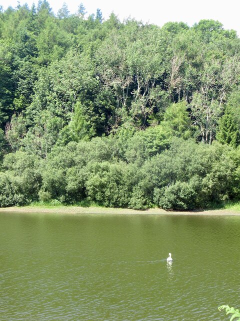
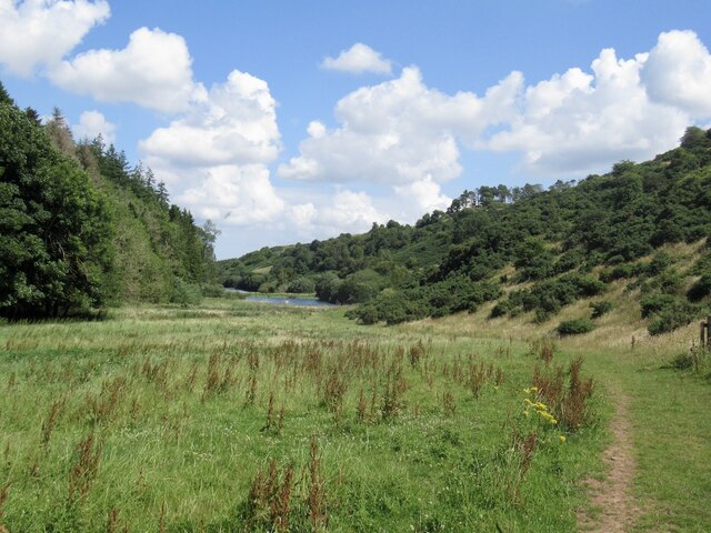
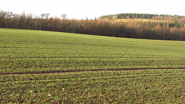
Bara Loch is a small freshwater loch located in East Lothian, Scotland. Nestled amidst the picturesque countryside, the loch covers an area of approximately 10 hectares and is one of the region's hidden gems. It is surrounded by lush greenery, offering a tranquil and breathtaking view to visitors.

The loch is fed by several small streams and springs, ensuring a constant flow of fresh water. Its depth varies throughout the year, with an average depth of 2 meters. The water is crystal clear and supports a diverse ecosystem of plants and wildlife.

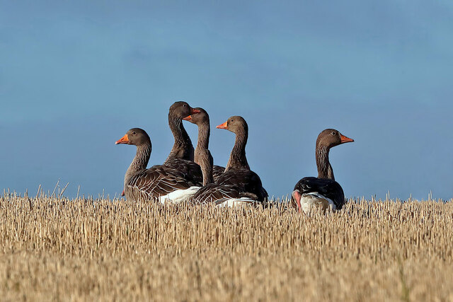
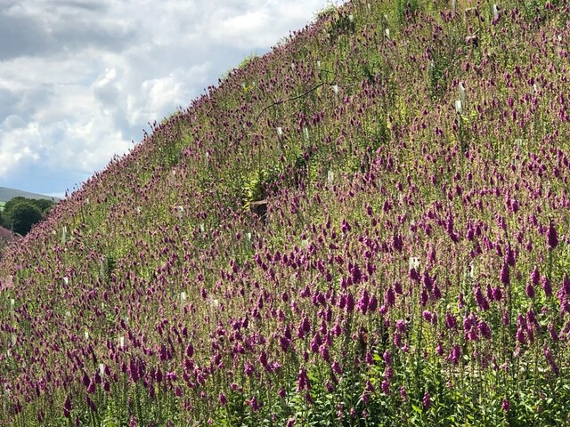
Bara Loch is home to numerous species of aquatic plants, including water lilies and reeds, which provide a habitat for a variety of animals. Visitors can spot a range of bird species, such as swans, ducks, herons, and even the occasional kingfisher. The loch also attracts a variety of insects and amphibians, adding to its biodiversity.

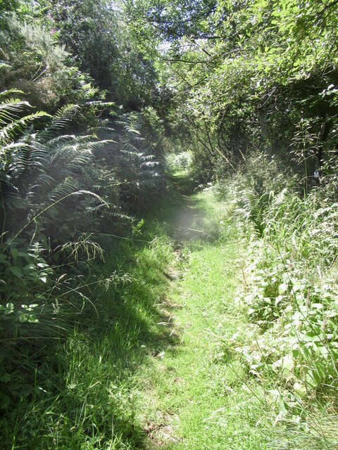
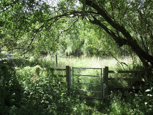
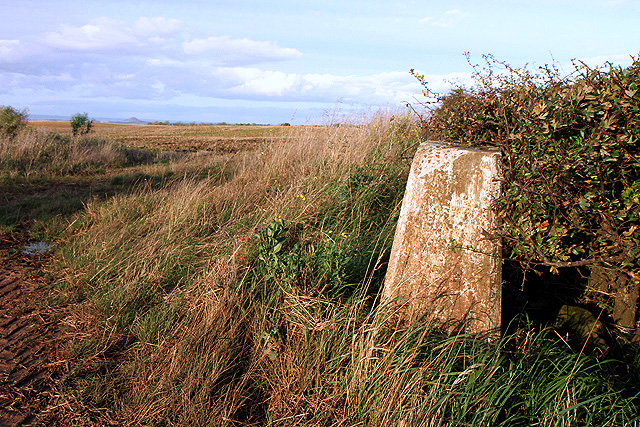
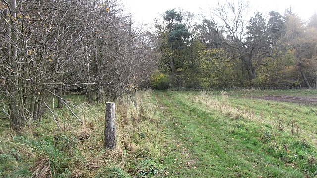
Surrounding the loch is a well-maintained footpath, allowing visitors to take a leisurely stroll and enjoy the natural beauty. There are also picnic spots and benches, providing a perfect setting for a peaceful lunch amidst nature.

Fishing is a popular activity at Bara Loch, with anglers drawn to its abundant stock of brown trout. Fishing permits are available, and the loch provides a serene backdrop for anglers to indulge in their hobby.

Overall, Bara Loch is a tranquil haven for nature enthusiasts, offering stunning views, diverse wildlife, and recreational activities. It is a hidden gem worth exploring for those seeking a peaceful escape into nature's embrace.

If you have any feedback on the listing, please let us know in the comments section below.
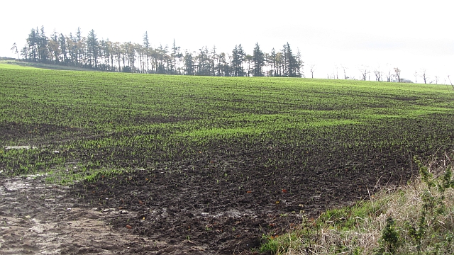
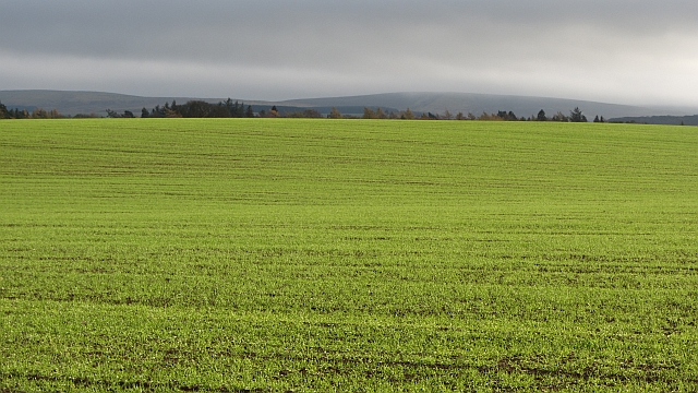
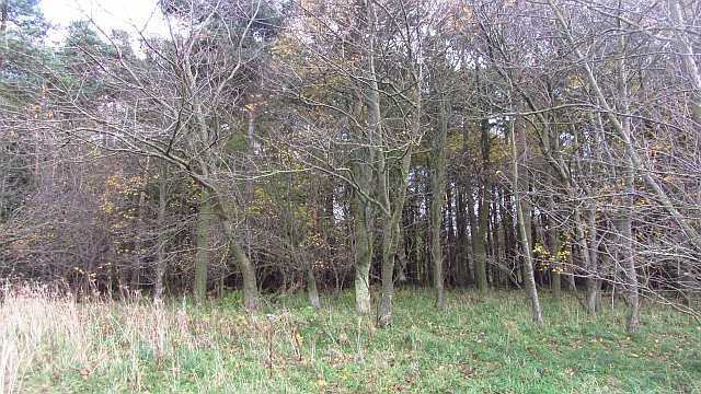
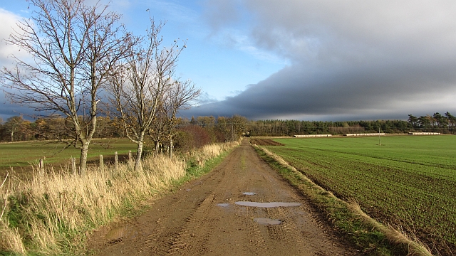
Bara Loch Images

Images are sourced within 2km of 55.913599/-2.7028274 or Grid Reference NT5669. Thanks to Geograph Open Source API. All images are credited.

Path, Donolly Reservoir A little overgrown in places and I came home with some alarming looking dermatitis on one leg, so there may be some hogweed of some description lurking here or alongside the Danskine Loch.
Path, Donolly Reservoir
A little overgrown in places and I came home with some alarming looking dermatitis on one leg, so there may be some hogweed of some description lurking here or alongside the Danskine Loch.
Donolly Reservoir As usual in Summer, rather green looking.
Donolly Reservoir
As usual in Summer, rather green looking.
Donolly Reservoir and Snawdon Howe
Gate, Gifford to Garvald path One of a pair.
Gate, Gifford to Garvald path
One of a pair.
Clear fell and replanting, Danskine Lodge The northern end of the Yester woodlands have been felled. There are a lot of logo adorned No-tices about, but the more offensive ones seem to have vanished, although there is still an English style keep to the path one in Gifford. There is a very exceptionalist attitude here and they are sadly getting away with it.
Clear fell and replanting, Danskine Lodge
The northern end of the Yester woodlands have been felled. There are a lot of logo adorned No-tices about, but the more offensive ones seem to have vanished, although there is still an English style keep to the path one in Gifford. There is a very exceptionalist attitude here and they are sadly getting away with it.
Replanted woodland, Danskine
Greylag geese (Anser anser) The geese were photographed in a stubble field from the B6355 at Danskine.
Greylag geese (Anser anser)
The geese were photographed in a stubble field from the B6355 at Danskine.
Geese in a stubble field at Danskine This mixed flock of Canada and Greylag geese was viewed from the B6355.
Geese in a stubble field at Danskine
This mixed flock of Canada and Greylag geese was viewed from the B6355.
Greylag geese (Anser anser) The geese were photographed in a stubble field from the B6355 at Danskine.
Greylag geese (Anser anser)
The geese were photographed in a stubble field from the B6355 at Danskine.
Foxgloves, Danskine Following clear felling.  Foxglove seeds remain dormant under tree cover for a long time and germinate when light once again returns to the forest floor.  Naturally they would exploit fallen mature trees.
Foxgloves, Danskine
Following clear felling. Foxglove seeds remain dormant under tree cover for a long time and germinate when light once again returns to the forest floor. Naturally they would exploit fallen mature trees.
The triangulation pillar at Townhead Trig point S3058 at 194m is tucked against a hedge on the northwest side of the B6370.
The triangulation pillar at Townhead
Trig point S3058 at 194m is tucked against a hedge on the northwest side of the B6370.
A wind turbine at Townhead This wind turbine is by a track on the north side of Townhead Farm.
A wind turbine at Townhead
This wind turbine is by a track on the north side of Townhead Farm.
Winter crops I was on a bike this time, so attracted no attention. The path marked on the map appears not to exist and is probably houseblocked.  This square is best visited when the fields are stubble covered.
Winter crops
I was on a bike this time, so attracted no attention. The path marked on the map appears not to exist and is probably houseblocked. This square is best visited when the fields are stubble covered.
Winter crops, Baro There is low cloud on the Lammermuir Hills. Winter cereals are popular here.
Winter crops, Baro
There is low cloud on the Lammermuir Hills. Winter cereals are popular here.
Baro Wood Mixed woodland at Baro.
Baro Wood
Mixed woodland at Baro.
Farm road, Baro
Farm road, Baro
Track into Baro Wood A field edge track heads into Baro Wood.
Track into Baro Wood
A field edge track heads into Baro Wood.
Winter cereals, Danskine A germinating crop on the edge of the Lammermuir Hills.
Winter cereals, Danskine
A germinating crop on the edge of the Lammermuir Hills.
Show me another place!

Bara Loch is located at Grid Ref: NT5669 (Lat: 55.913599, Lng: -2.7028274)

Unitary Authority: East Lothian

Police Authority: The Lothians and Scottish Borders

What 3 Words

///publisher.careful.sued. Near Haddington, East Lothian

Nearby Locations

Bara Wood Bara Loch

Related Wikis

Bara, East Lothian

Bara, anciently spelt Baro, is an agricultural parish in East Lothian, Scotland, which adjoins the parish of Garvald to the east, and Lauder across the...

Yester Castle

Yester Castle is a ruined castle, located 1+1⁄2 miles (2.5 kilometres) southeast of the village of Gifford in East Lothian, Scotland. The only remaining...

Yester Chapel

Yester Chapel is situated on the estate of Yester House, at the south-east edge of the village of Gifford in East Lothian, Scotland. The chapel is situated...

Yester House

Yester House is an early 18th-century mansion near Gifford in East Lothian, Scotland. It was the home of the Hay family, later Marquesses of Tweeddale...

Nearby Amenities

Located within 500m of 55.913599,-2.7028274
Power: pole
Lat/Long: 55.9100094/-2.7074575
Power: pole
Lat/Long: 55.9102254/-2.7063907
Power: pole
Lat/Long: 55.9104473/-2.7053092
Power: pole
Lat/Long: 55.9106669/-2.7042049
Power: pole
Lat/Long: 55.9104415/-2.7029609
Power: pole
Lat/Long: 55.9102196/-2.7016795
Power: pole
Lat/Long: 55.9100094/-2.7004709
Power: pole
Lat/Long: 55.909798/-2.6992478
Power: pole
Lat/Long: 55.9180144/-2.7038736
Power: pole
Lat/Long: 55.9176116/-2.7049092
Power: pole
Lat/Long: 55.9172216/-2.7059427
The data included in this document is from www.openstreetmap.org. The data is made available under ODbL.

Have you been to Bara Loch?

Leave your review of Bara Loch below (or comments, questions and feedback).