Denmead
Settlement in Hampshire Winchester
England
Denmead

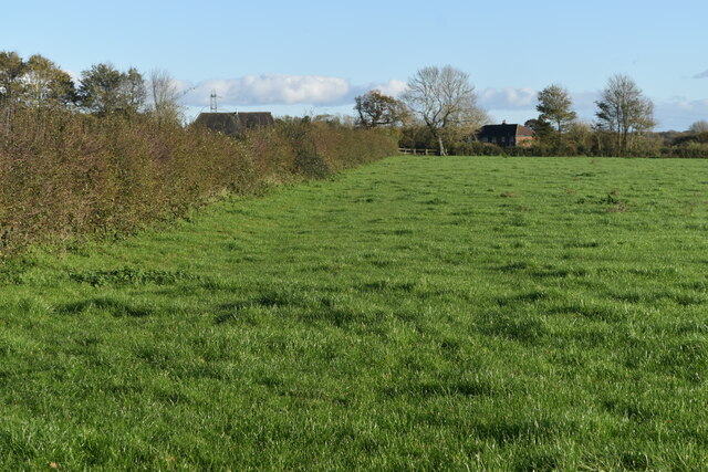
Denmead is a charming village located in the county of Hampshire, England. Situated about 8 miles north of the city of Portsmouth, it lies on the slopes of the South Downs National Park, offering breathtaking views of the surrounding countryside. With a population of around 6,000 residents, Denmead exudes a warm and welcoming atmosphere.
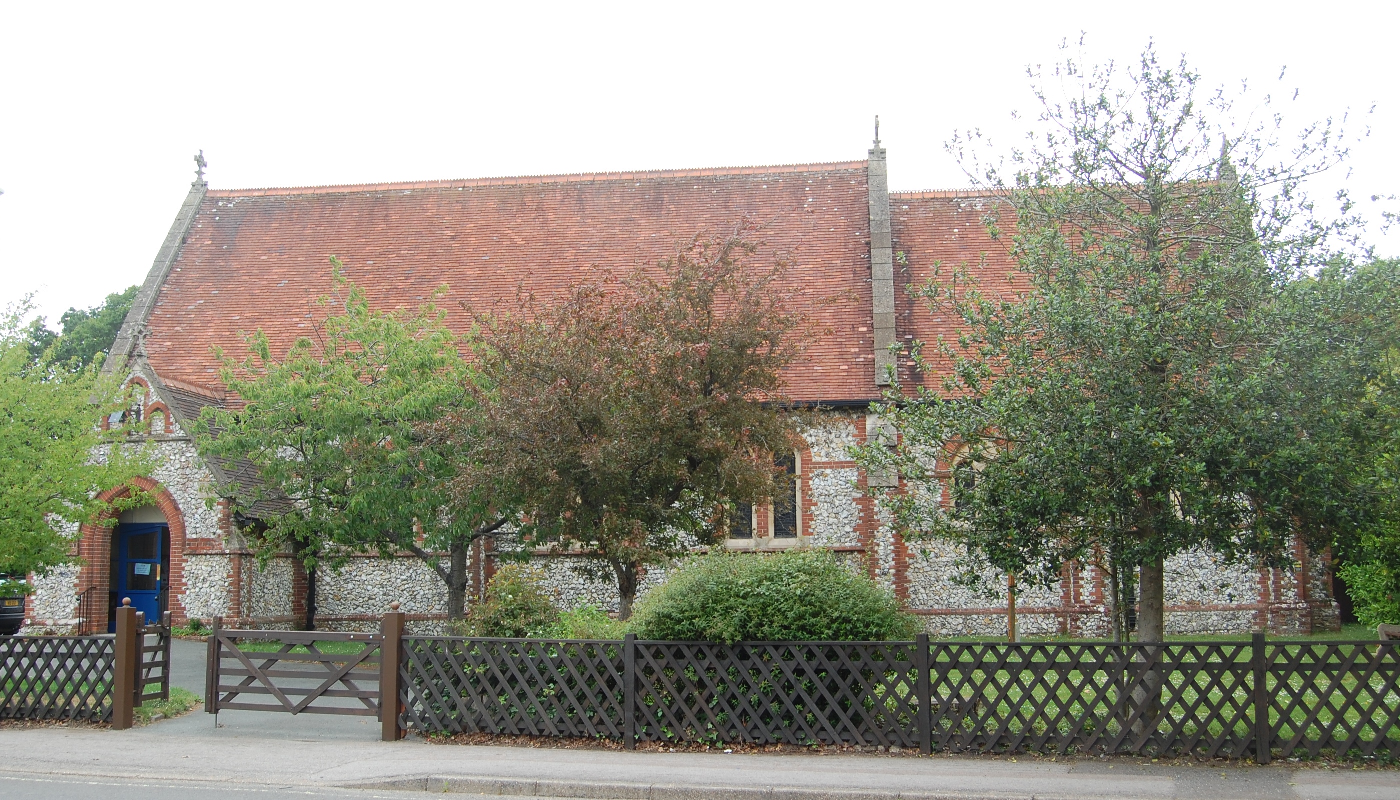
The village boasts a rich history, dating back to the Saxon period, and evidence of its past can still be seen today in the form of historical buildings and landmarks. Denmead Parish Church, a Grade II listed building, is a prominent feature, with its beautiful architecture and peaceful surroundings.
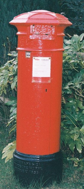
Denmead is well-equipped with amenities, including a variety of local shops, a post office, a library, and a community center. The village also benefits from excellent transport links, with regular bus services connecting it to nearby towns and cities.
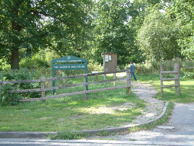
Nature lovers will appreciate the numerous walking and cycling routes that can be found in and around Denmead. The nearby South Downs Way offers stunning scenic trails, while the sprawling Queen Elizabeth Country Park is a popular spot for outdoor activities.
Residents of Denmead also enjoy a strong sense of community spirit, with various local events and activities taking place throughout the year. The village hosts an annual summer fair, which attracts visitors from near and far, as well as regular farmer's markets and craft fairs.
Overall, Denmead is a picturesque village that combines its rich history, natural beauty, and close-knit community to create a truly special place to live or visit.
If you have any feedback on the listing, please let us know in the comments section below.
Denmead Images
Images are sourced within 2km of 50.904236/-1.065659 or Grid Reference SU6512. Thanks to Geograph Open Source API. All images are credited.


Denmead is located at Grid Ref: SU6512 (Lat: 50.904236, Lng: -1.065659)
Administrative County: Hampshire
District: Winchester
Police Authority: Hampshire
What 3 Words
///taskbar.newspaper.blasted. Near Denmead, Hampshire
Nearby Locations
Related Wikis
Denmead
Denmead is a village in Hampshire near Portsmouth, England. It is part of the City of Winchester district. As of 2005, it had a population of 6,457 and...

Newlands, Hampshire
Newlands is a civil parish in Hampshire, England, in the south-east of the local government district of the City of Winchester. It is composed of the parts...
Anthill Common
Anthill Common is a village in Hampshire, England. == External links == Media related to Anthill Common at Wikimedia Commons
Forest of Bere
The Forest of Bere is a mixed-use partially forested area in Hampshire immediately north of Fareham, Portsmouth and Roman Road, Havant and including a...
Worlds End, Hampshire
Worlds End is a small village in the civil parish of Denmead in the City of Winchester district of Hampshire, England. The village is about 7 miles (11...
Hart Plain
Hart Plain is part of Waterlooville and is the northwesternmost ward in the Borough of Havant. The population of Hart Plain in 2015 was 8,755, making up...
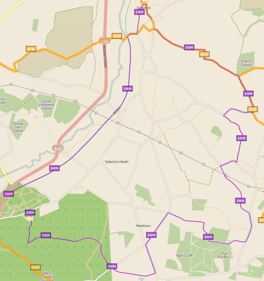
Soberton and Newtown Millennium Walk 2000
The Soberton and Newtown Millennium Walk 2000 is a 10-mile circular footpath through Hampshire, England around villages of Soberton and Newtown. Sections...
Wecock Farm
Wecock Farm is a 1970s council estate on the western edges of Waterlooville originally built by Portsmouth City Council. Its lineage can be traced back...
Nearby Amenities
Located within 500m of 50.904236,-1.065659Have you been to Denmead?
Leave your review of Denmead below (or comments, questions and feedback).