Fearney Hill Plantation
Wood, Forest in Yorkshire
England
Fearney Hill Plantation

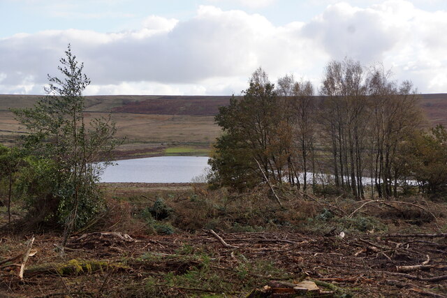
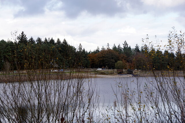
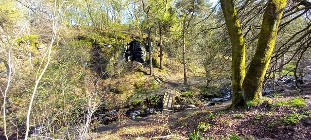
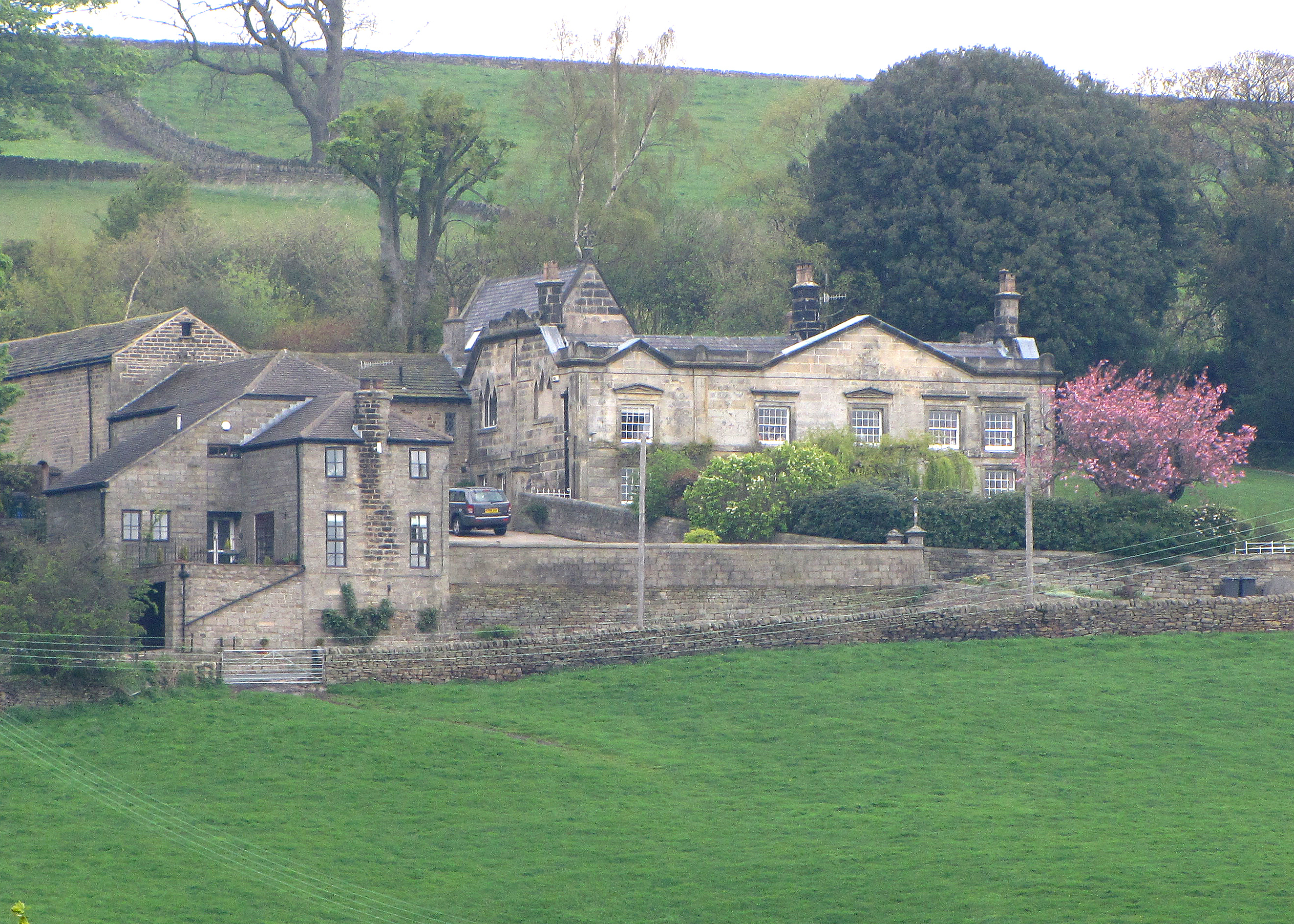
Fearney Hill Plantation is a stunning woodland area located in Yorkshire, England. Covering a vast expanse of land, it is known for its dense forest and picturesque scenery. The plantation is situated on the slopes of Fearney Hill, offering visitors breathtaking views of the surrounding countryside.
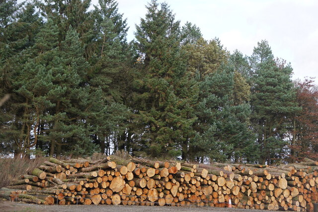
The woodland is predominantly composed of various species of trees, including oak, beech, and birch. These trees create a diverse and vibrant ecosystem, providing a haven for a wide range of flora and fauna. The forest floor is adorned with a carpet of wildflowers, adding bursts of color to the serene landscape.
Fearney Hill Plantation is a popular destination for nature enthusiasts and hikers alike. The extensive network of trails and paths allows visitors to explore the plantation at their own pace. There are both easy and challenging routes, catering to all abilities. Along the way, hikers may encounter various wildlife, such as deer, squirrels, and a plethora of bird species.
The plantation also boasts a rich history. It is believed to have been established in the 18th century and has witnessed significant changes over the years. Today, it is managed by a team of conservationists who strive to maintain its natural beauty while preserving its historical significance.
Fearney Hill Plantation offers a tranquil escape from the hustle and bustle of everyday life. Whether it's a leisurely stroll through the woods or an immersive hike, visitors are sure to be captivated by the charm and tranquility of this enchanting woodland retreat.
If you have any feedback on the listing, please let us know in the comments section below.
Fearney Hill Plantation Images
Images are sourced within 2km of 53.382041/-1.5974701 or Grid Reference SK2687. Thanks to Geograph Open Source API. All images are credited.


Fearney Hill Plantation is located at Grid Ref: SK2687 (Lat: 53.382041, Lng: -1.5974701)
Division: West Riding
Unitary Authority: Sheffield
Police Authority: South Yorkshire
What 3 Words
///damp.nodded.oddly. Near Bradfield, South Yorkshire
Nearby Locations
Related Wikis

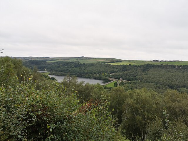
Rivelin Dams
Rivelin Dams are a pair of water storage reservoirs situated in the upper part of the Rivelin Valley, 5 miles (8 km) west of Sheffield in South Yorkshire...
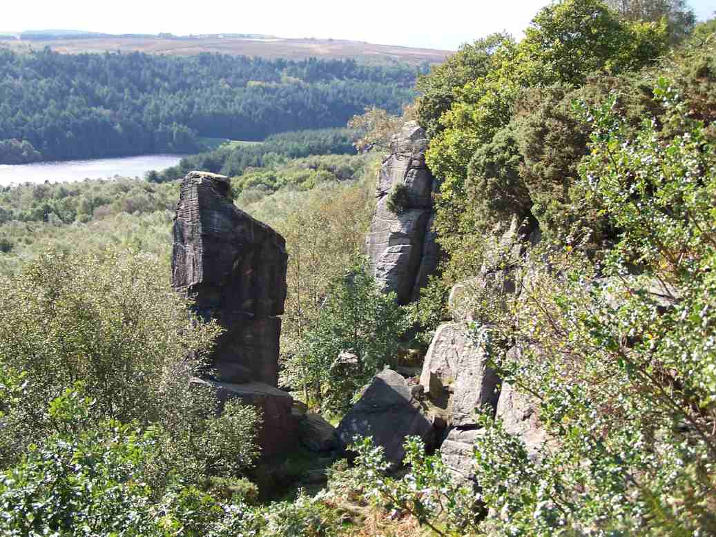
Rivelin Rocks
Rivelin Rocks are a gritstone edge or escarpment in the upper Rivelin Valley at grid reference SK279873, 9 kilometres (5.6 mi) west of Sheffield just off...

Wyming Brook
The Wyming Brook is a river in the City of Sheffield, England. Its source is the Redmires Reservoirs near the Hallam Moors. It flows in a north-easterly...
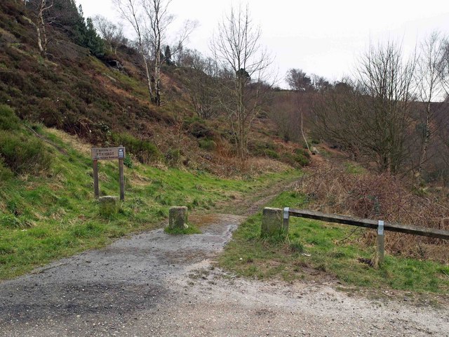
Fox Hagg
Fox Hagg is a small (33.25 hectares (82.2 acres)) nature reserve in the Rivelin Valley area of Sheffield, England. The Allen Sike flows along the north...

Lodge Moor camp
Lodge Moor was a British military camp based near Redmires Reservoirs, Sheffield, that was best known for housing prisoners of war during World War II...

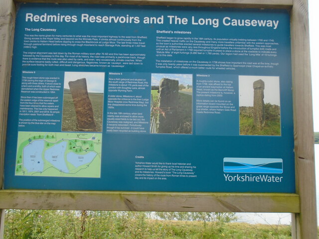
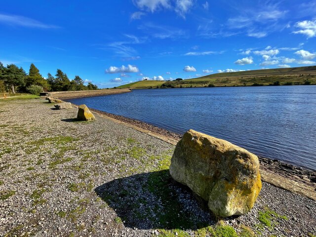
Redmires Reservoirs
The Redmires Reservoirs are a group of three reservoirs in Fulwood, Sheffield, South Yorkshire, England. They are fed from the Hallam Moors by various...
Lodge Moor Hospital
Lodge Moor Hospital is a former isolation hospital on Redmires Road in the Lodge Moor area of the City of Sheffield, England. The hospital which opened...
Revell Grange
Revell Grange is a Grade II listed English country house situated on Bingley Lane in the suburb of Stannington overlooking the Rivelin valley within the...
Nearby Amenities
Located within 500m of 53.382041,-1.5974701Have you been to Fearney Hill Plantation?
Leave your review of Fearney Hill Plantation below (or comments, questions and feedback).