Reddicar Clough
Valley in Yorkshire
England
Reddicar Clough
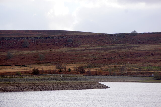
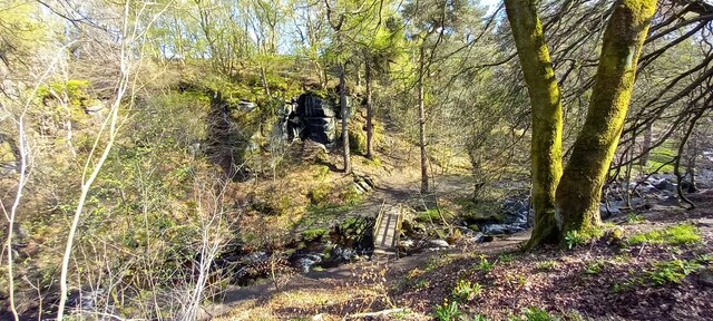
Reddicar Clough is a picturesque valley located in Yorkshire, England. Nestled amidst the rolling hills and lush green landscapes, this idyllic destination offers a peaceful retreat for nature lovers and outdoor enthusiasts. The clough is situated near the town of Otley, approximately 10 miles northwest of Leeds.
With its stunning natural beauty, Reddicar Clough is a haven for hikers, walkers, and nature enthusiasts. The valley is adorned with an abundance of flora and fauna, including ancient trees, wildflowers, and various species of birds and wildlife. The walking trails within the clough provide visitors with the opportunity to explore its diverse ecosystem and enjoy breathtaking views of the surrounding countryside.
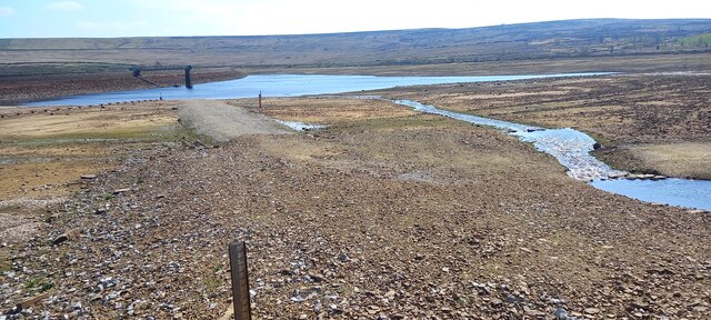
Reddicar Clough also features a charming stream that meanders through its heart, adding to its scenic allure. The tranquil sound of running water creates a serene atmosphere, making it an ideal spot for relaxation and contemplation.
The valley is not only known for its natural beauty but also for its historical significance. It is believed that Reddicar Clough has been inhabited since ancient times, with evidence of human activity dating back to the Neolithic period. Archaeological finds, such as flint tools and pottery fragments, have been discovered in the area, providing insights into the lives of early settlers.
Overall, Reddicar Clough offers a captivating blend of natural splendor and historical significance. It is a place where visitors can immerse themselves in the beauty of nature, learn about the region's rich history, and escape the hustle and bustle of everyday life.
If you have any feedback on the listing, please let us know in the comments section below.
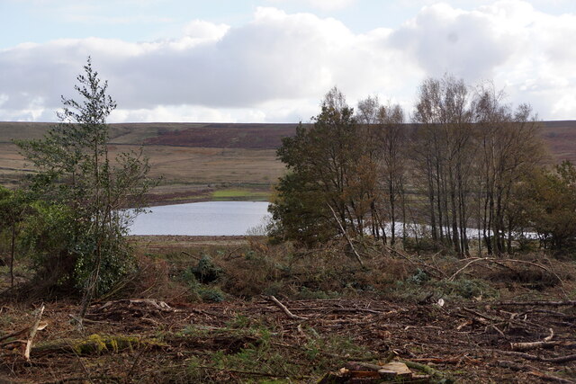
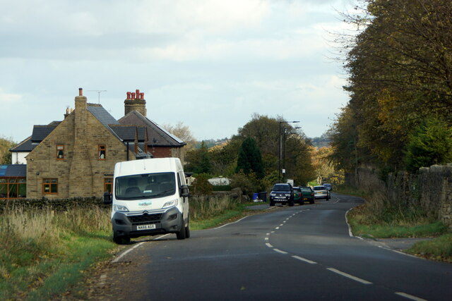
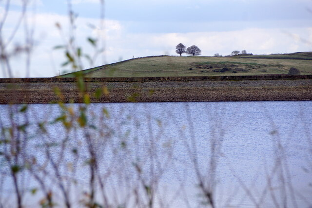
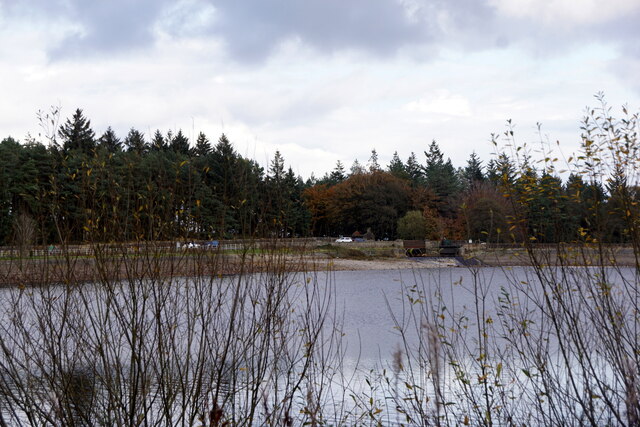
Reddicar Clough Images
Images are sourced within 2km of 53.380305/-1.6053336 or Grid Reference SK2687. Thanks to Geograph Open Source API. All images are credited.


Reddicar Clough is located at Grid Ref: SK2687 (Lat: 53.380305, Lng: -1.6053336)
Division: West Riding
Unitary Authority: Sheffield
Police Authority: South Yorkshire
What 3 Words
///wakes.complains.focus. Near Bradfield, South Yorkshire
Nearby Locations
Related Wikis

Rivelin Dams
Rivelin Dams are a pair of water storage reservoirs situated in the upper part of the Rivelin Valley, 5 miles (8 km) west of Sheffield in South Yorkshire...

Wyming Brook
The Wyming Brook is a river in the City of Sheffield, England. Its source is the Redmires Reservoirs near the Hallam Moors. It flows in a north-easterly...
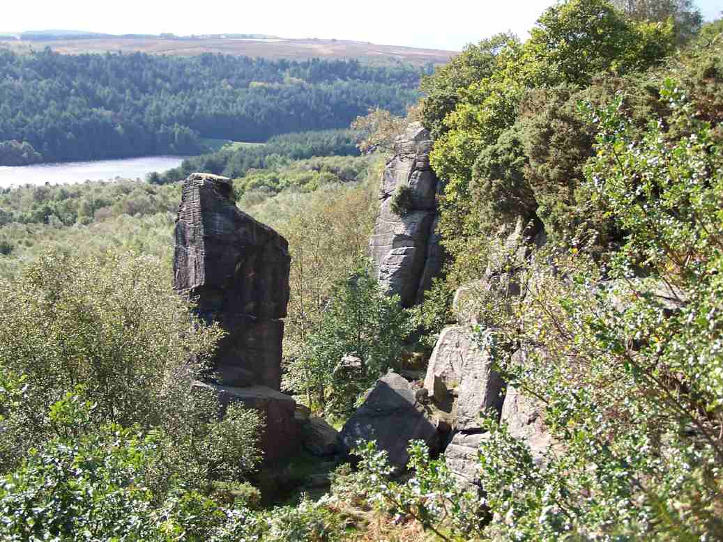
Rivelin Rocks
Rivelin Rocks are a gritstone edge or escarpment in the upper Rivelin Valley at grid reference SK279873, 9 kilometres (5.6 mi) west of Sheffield just off...

Redmires Reservoirs
The Redmires Reservoirs are a group of three reservoirs in Fulwood, Sheffield, South Yorkshire, England. They are fed from the Hallam Moors by various...
Nearby Amenities
Located within 500m of 53.380305,-1.6053336Have you been to Reddicar Clough?
Leave your review of Reddicar Clough below (or comments, questions and feedback).