Ash Plantation
Wood, Forest in Derbyshire Derbyshire Dales
England
Ash Plantation
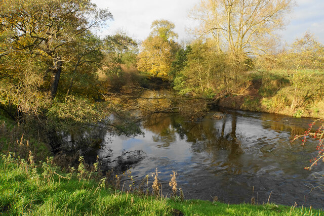
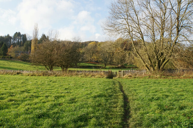
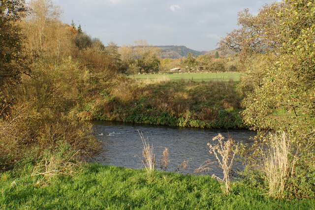
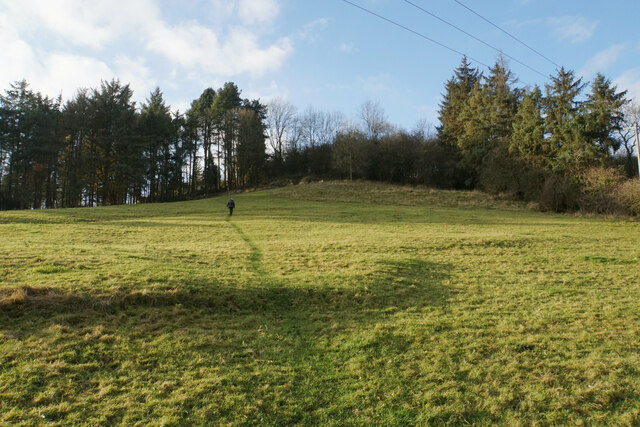
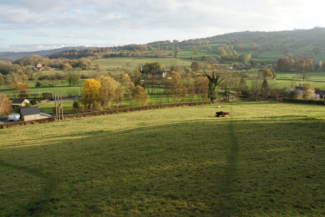
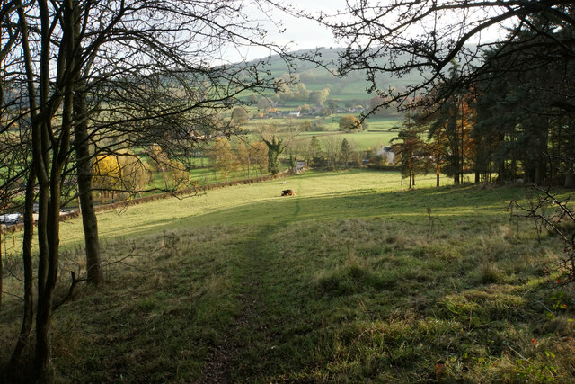
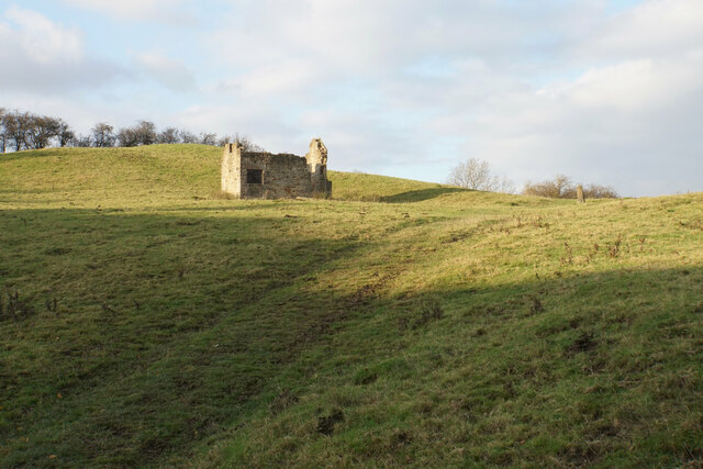
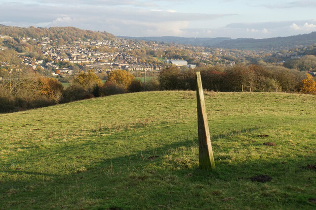
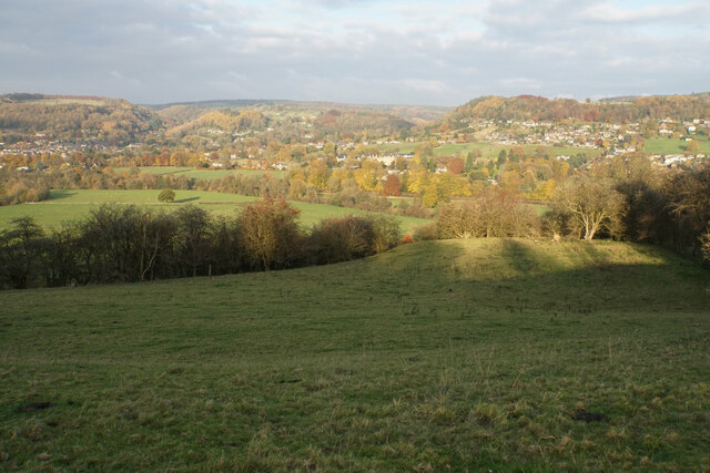
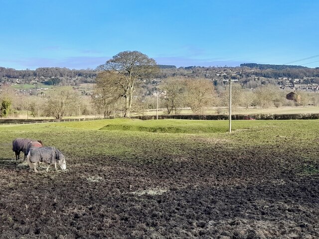
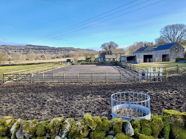
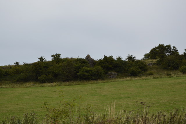
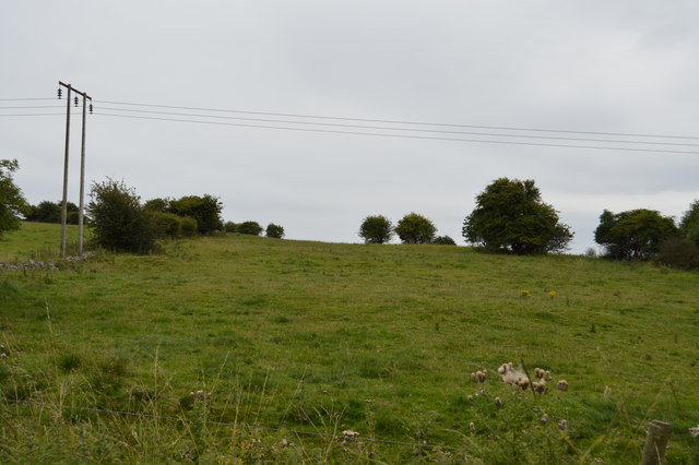
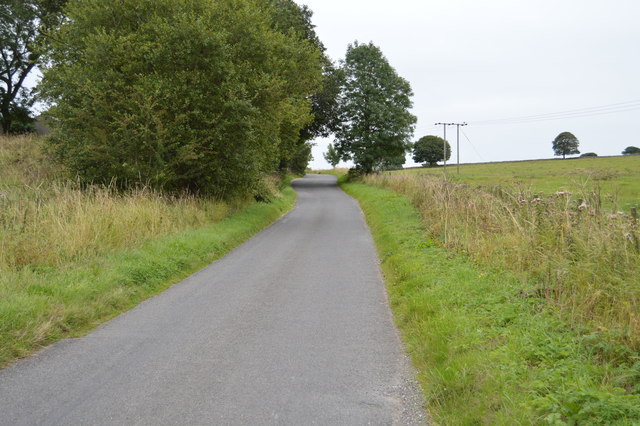
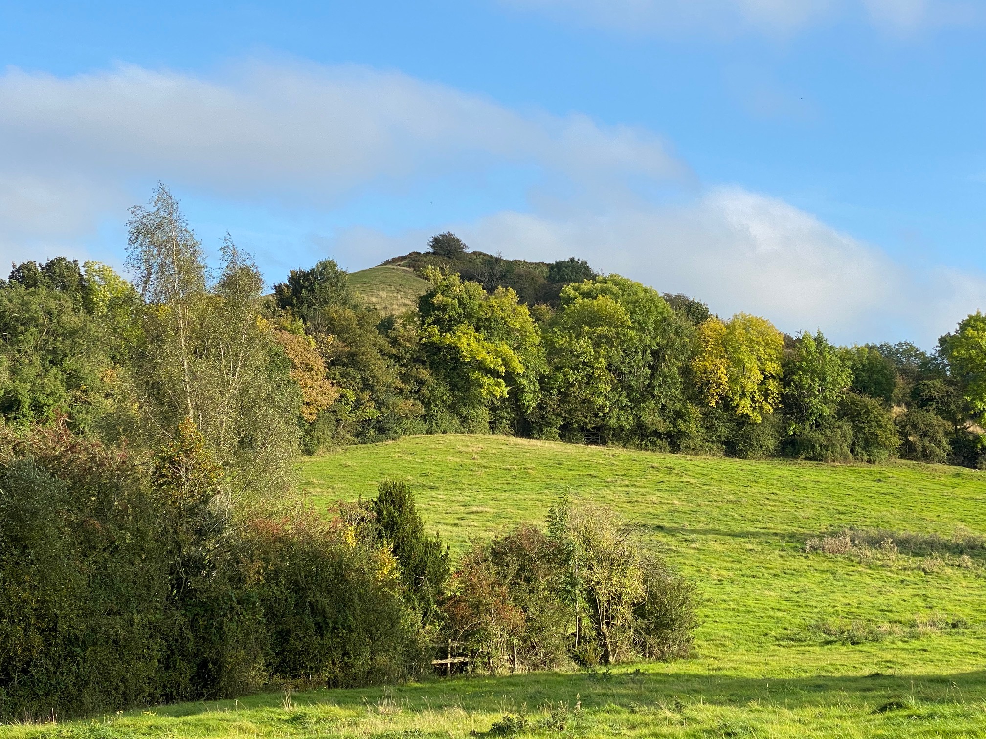
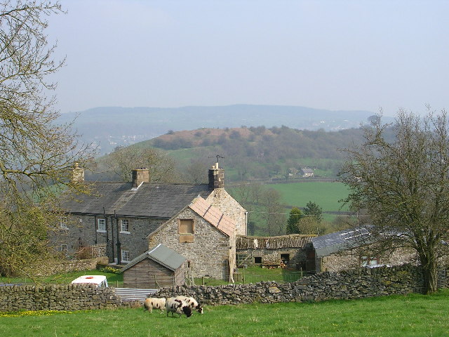
Ash Plantation is a dense woodland situated in Derbyshire, England. Covering an area of approximately 100 acres, it is known for its abundant ash trees, hence the name. The plantation is located in a rural setting, surrounded by rolling hills and picturesque landscapes.
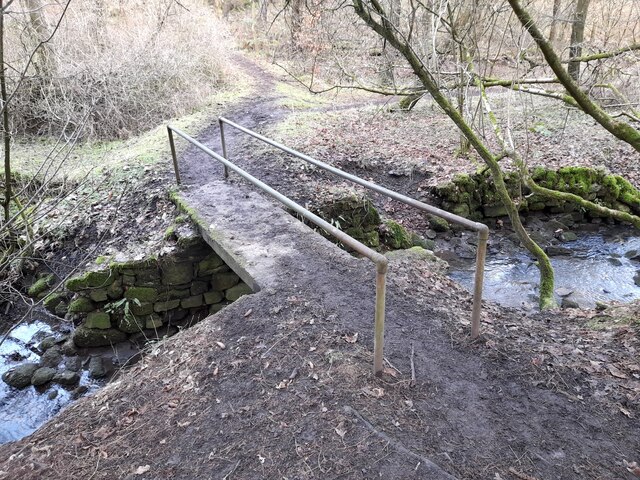
The woodland is a popular destination for nature enthusiasts and hikers, offering a tranquil escape from the hustle and bustle of everyday life. Its well-maintained trails and paths make it easily accessible for visitors of all ages and abilities.
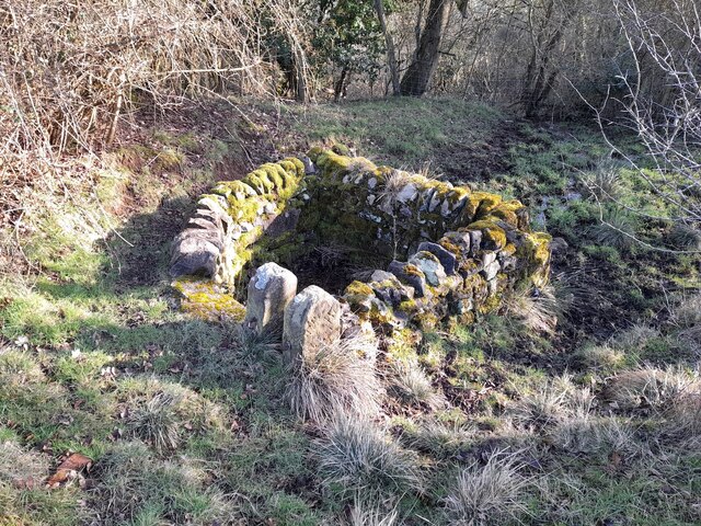
Ash Plantation is home to a diverse range of flora and fauna, with a rich variety of plant species thriving under the canopy of the ash trees. Bluebells, wild garlic, and wood anemones are just a few of the wildflowers that carpet the forest floor during the spring months, creating a vibrant and colorful display.
The woodland also provides a haven for various wildlife species. Visitors may spot deer, rabbits, and squirrels as they explore the plantation, while birdwatchers can keep an eye out for species such as owls, woodpeckers, and thrushes.
In addition to its natural beauty, Ash Plantation offers recreational activities for visitors. There are picnic areas and benches scattered throughout the woodland, providing the perfect spot for a leisurely lunch or a peaceful rest. The plantation also hosts educational programs and guided walks, allowing visitors to learn more about the history and ecology of the area.
Overall, Ash Plantation in Derbyshire is a captivating woodland that offers a serene and immersive experience for nature lovers and outdoor enthusiasts alike.
If you have any feedback on the listing, please let us know in the comments section below.
Ash Plantation Images
Images are sourced within 2km of 53.136258/-1.5997995 or Grid Reference SK2659. Thanks to Geograph Open Source API. All images are credited.
Ash Plantation is located at Grid Ref: SK2659 (Lat: 53.136258, Lng: -1.5997995)
Administrative County: Derbyshire
District: Derbyshire Dales
Police Authority: Derbyshire
What 3 Words
///snack.marked.intersect. Near Matlock, Derbyshire
Nearby Locations
Related Wikis
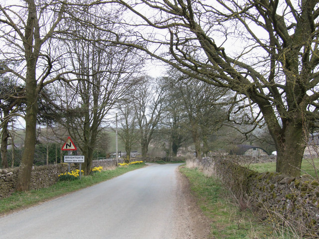
Brightgate
Brightgate is a village in Derbyshire, England. The population is recorded in the civil parish of Bonsall, Derbyshire. == References ==

Snitterton
Snitterton is a hamlet in Derbyshire, England, in South Darley parish, of some fifteen properties including two working farms and Snitterton Hall, a late...

Snitterton Hall
Snitterton Hall is a late medieval manor house in Snitterton in South Darley parish, near Matlock, Derbyshire, England, and within the Peak District National...
Oker, Derbyshire
Oker is a hamlet in Derbyshire, located in South Darley parish, with groups of houses along two sides of Oker Hill. The houses are largely older limestone...
Wensley, Derbyshire
Wensley is a small village in South Darley parish in Derbyshire of limestone and gritstone properties mainly arranged along the single road which zig-zags...

South Darley
South Darley is a civil parish in the Derbyshire Dales. It is a largely rural parish and covers the villages of Darley Bridge, Wensley and the hamlets...
St Mary the Virgin's Church, South Darley
St Mary the Virgin's Church, South Darley is a Grade II listed parish church in the Church of England in South Darley, Derbyshire. At the entrance to the...

Beans and Bacon mine
The Beans and Bacon mine is a disused lead mine on Bonsall Moor near the village of Bonsall, Derbyshire, United Kingdom. The nearest large town is Matlock...
Nearby Amenities
Located within 500m of 53.136258,-1.5997995Have you been to Ash Plantation?
Leave your review of Ash Plantation below (or comments, questions and feedback).