Chancellor's Oaks
Wood, Forest in Oxfordshire West Oxfordshire
England
Chancellor's Oaks

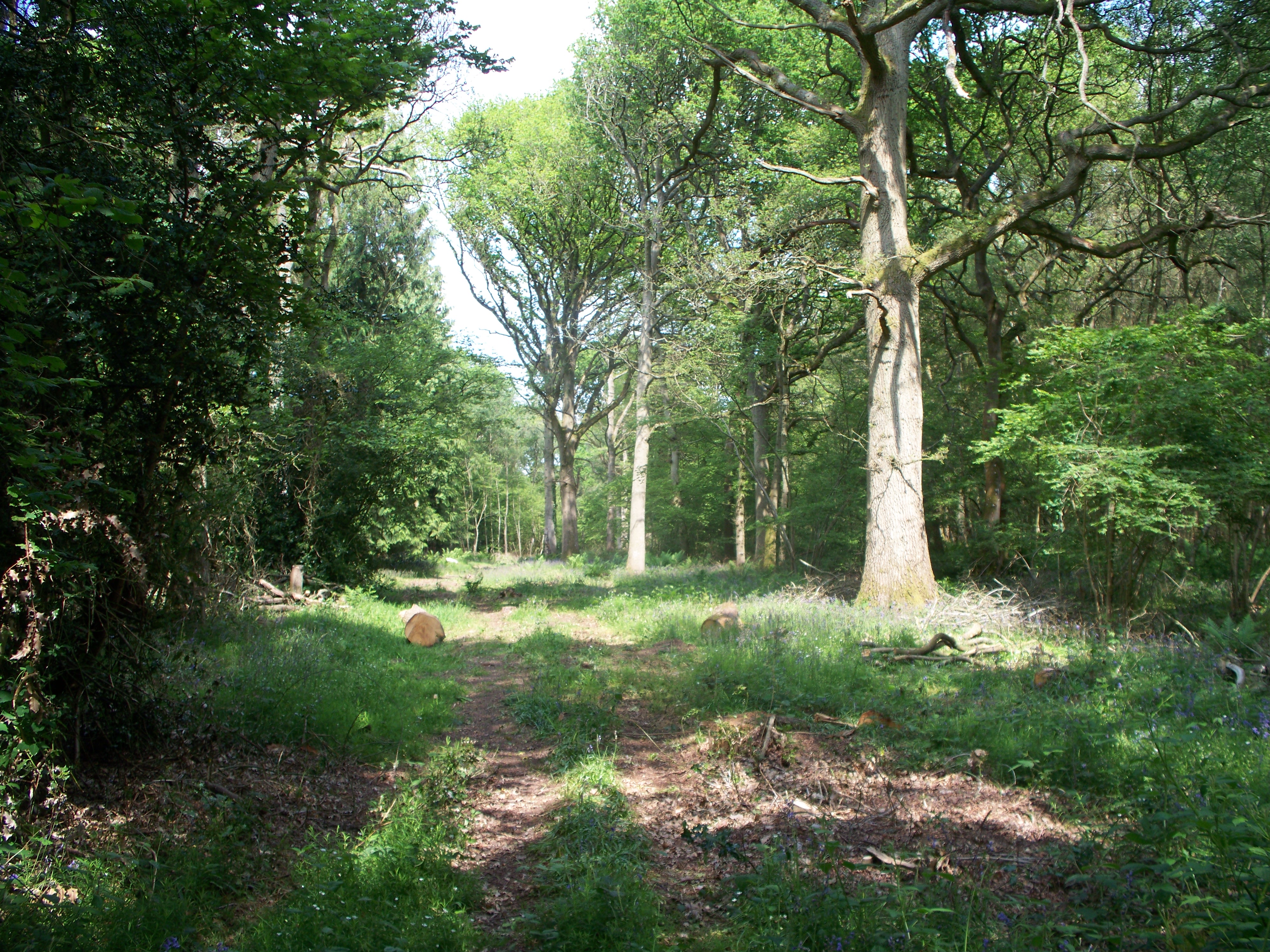
Chancellor's Oaks is a picturesque woodland area located in the county of Oxfordshire, England. Situated amidst the scenic beauty of Oxfordshire, this woodland offers a serene and tranquil retreat for nature enthusiasts and outdoor lovers. Spanning over a vast area, Chancellor's Oaks is a haven for diverse flora and fauna, making it a popular destination for nature walks and wildlife spotting.
The woodland is characterized by its dense canopy of majestic oak trees, which provide shade and shelter to a variety of plants and animals. The towering oaks create a captivating ambiance, with sunlight seeping through the leaves and casting dappled shadows on the forest floor. The woodland is also home to a range of other tree species, including beech, ash, and birch, adding to the rich biodiversity of the area.
Chancellor's Oaks boasts a well-maintained network of walking trails, allowing visitors to explore the woodland's natural wonders at their own pace. These trails wind through the forest, leading visitors to hidden groves, babbling brooks, and enchanting clearings. The woodland's tranquility and scenic beauty make it an ideal location for picnics, meditation, or simply immersing oneself in the peaceful surroundings.
In addition to its natural beauty, Chancellor's Oaks is also an important habitat for wildlife. The woodland provides a sanctuary for numerous bird species, such as woodpeckers, owls, and warblers. Squirrels, foxes, and deer are also commonly spotted within the woodland, adding to the sense of wilderness and natural harmony.
Overall, Chancellor's Oaks in Oxfordshire is a captivating woodland destination that offers a peaceful escape from the hustle and bustle of everyday life. Its lush greenery, diverse wildlife, and tranquil atmosphere make it a must-visit location for nature enthusiasts and those seeking solace in the beauty of the outdoors.
If you have any feedback on the listing, please let us know in the comments section below.
Chancellor's Oaks Images
Images are sourced within 2km of 51.883726/-1.6343724 or Grid Reference SP2520. Thanks to Geograph Open Source API. All images are credited.


Chancellor's Oaks is located at Grid Ref: SP2520 (Lat: 51.883726, Lng: -1.6343724)
Administrative County: Oxfordshire
District: West Oxfordshire
Police Authority: Thames Valley
What 3 Words
///educates.stilted.moguls. Near Shipton under Wychwood, Oxfordshire
Nearby Locations
Related Wikis
Bould Wood
Bould Wood is a 58.2-hectare (144-acre) biological Site of Special Scientific Interest north of Shipton-under-Wychwood in Oxfordshire. An area of 23...

Bould
Bould is a hamlet in Idbury civil parish, Oxfordshire, about 4.5 miles (7.2 km) southeast of Stow-on-the-Wold in neighbouring Gloucestershire. == External... ==

Foscot, Oxfordshire
Foscot is a hamlet in the Cotswolds in the Evenlode valley. It falls within Idbury civil parish, in the West Oxfordshire District, about 5 miles (8.0 km...
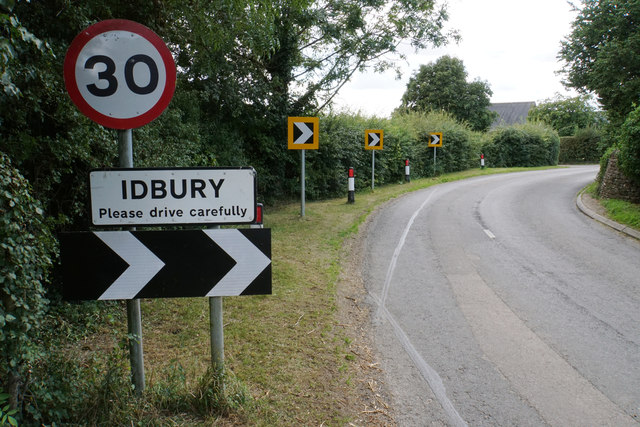
Idbury
Idbury is a village and civil parish in the Cotswold Hills in Oxfordshire, about 4+1⁄2 miles (7 km) southeast of Stow-on-the-Wold in neighbouring Gloucestershire...

Bruern
Bruern or Bruern Abbey is a hamlet and civil parish on the River Evenlode about 6 miles (10 km) north of Burford in West Oxfordshire. The 2001 Census recorded...

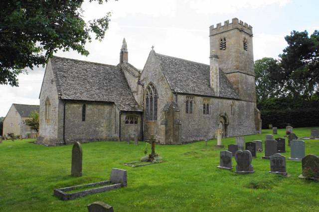
Church of St Leonard, Bledington
The Anglican Church of St Leonard at Bledington in the Cotswold District of Gloucestershire, England, was built in 12th century. It is a grade I listed...

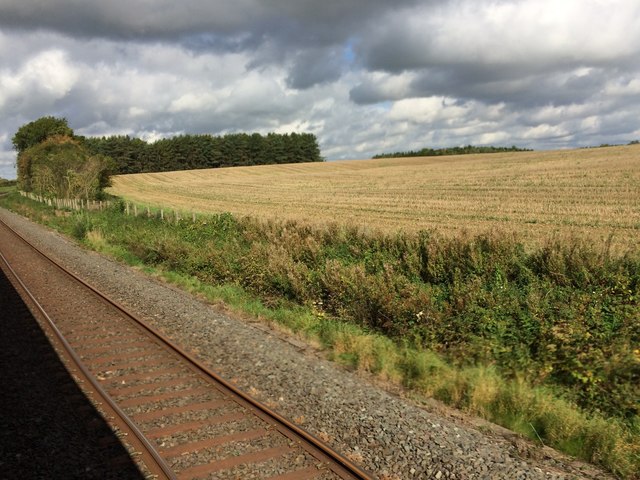
Kingham railway station
Kingham railway station in Oxfordshire, England, is between the Oxfordshire village of Kingham and the Gloucestershire village of Bledington, to which...

Fifield, Oxfordshire
Fifield is a village and civil parish about 4 miles (6.4 km) north of Burford in Oxfordshire. The western boundary of the parish forms part of the county...
Nearby Amenities
Located within 500m of 51.883726,-1.6343724Have you been to Chancellor's Oaks?
Leave your review of Chancellor's Oaks below (or comments, questions and feedback).