Black Plantation
Wood, Forest in Gloucestershire Cotswold
England
Black Plantation
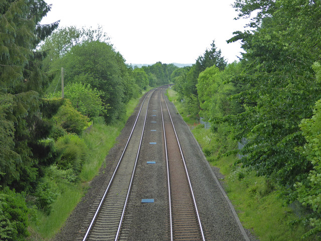
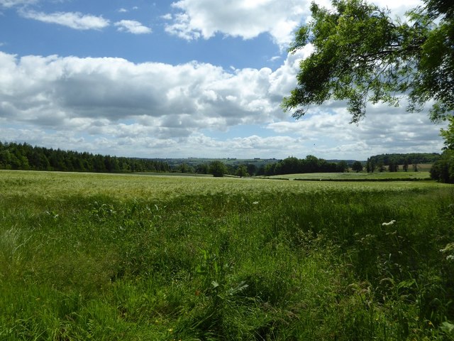
Black Plantation is a woodland located in Gloucestershire, England. Situated in the Forest of Dean, it covers an area of approximately 100 acres. The plantation is primarily composed of deciduous trees, including oak, beech, and birch, which provide a diverse habitat for a variety of flora and fauna.
The woodland is known for its rich biodiversity and is home to several species of birds, such as woodpeckers, owls, and thrushes, which thrive in the dense canopy. The forest floor is covered with a carpet of wildflowers, including bluebells and primroses, creating a vibrant display during the spring months.
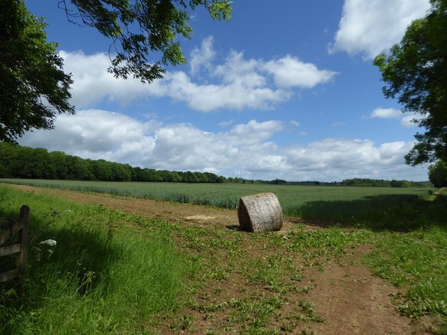
Black Plantation has a long history, dating back several centuries. It was originally part of the Royal Forest of Dean, a hunting ground for royalty and nobility. Over the years, the woodland has been managed sustainably, with selective logging and replanting to maintain its ecological balance.
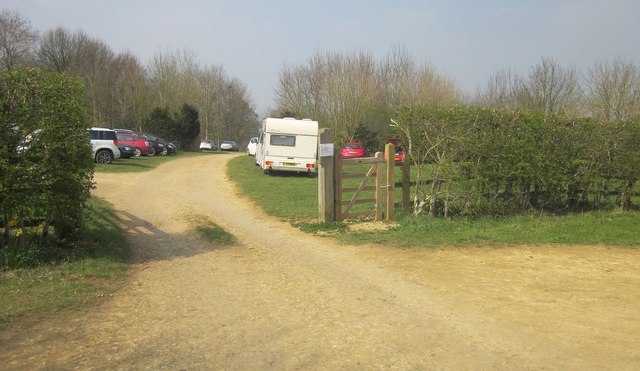
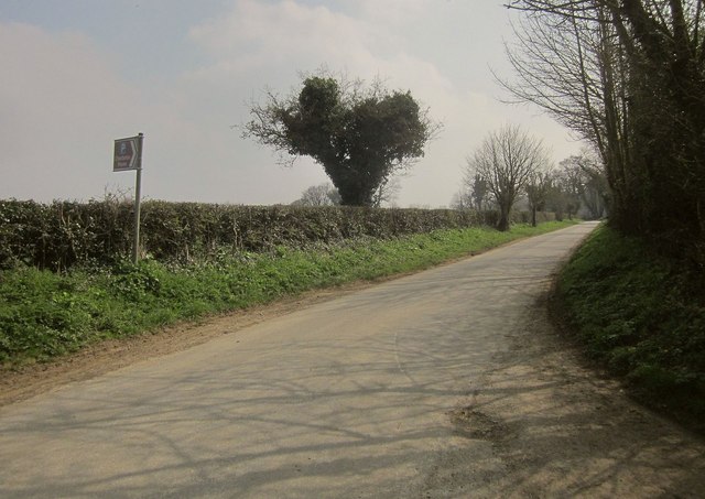
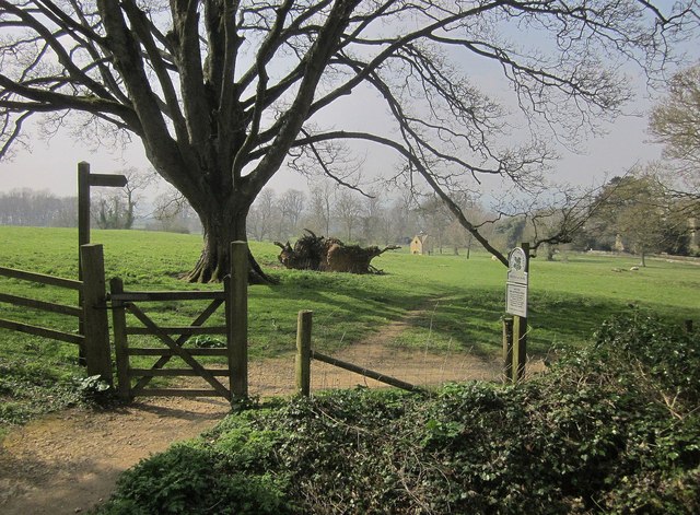
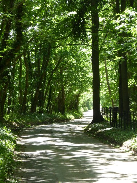
The plantation is a popular destination for outdoor enthusiasts, offering numerous walking trails and picnic areas. It attracts visitors throughout the year who come to enjoy the serenity of the woodland and engage in activities such as birdwatching, photography, and nature exploration.
Due to its proximity to the Forest of Dean, Black Plantation benefits from its association with other attractions in the area, such as Clearwell Caves and Puzzlewood, which further enhance its appeal to tourists and nature lovers.
Overall, Black Plantation in Gloucestershire is a picturesque woodland that offers a tranquil escape for visitors, while also playing a vital role in preserving the natural heritage of the region.
If you have any feedback on the listing, please let us know in the comments section below.
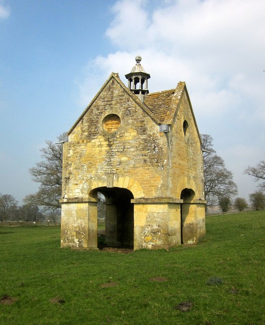
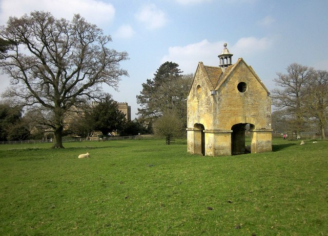
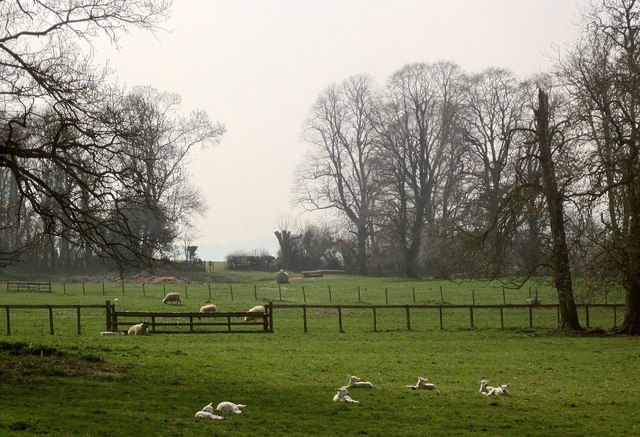
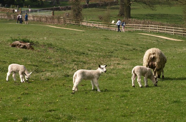
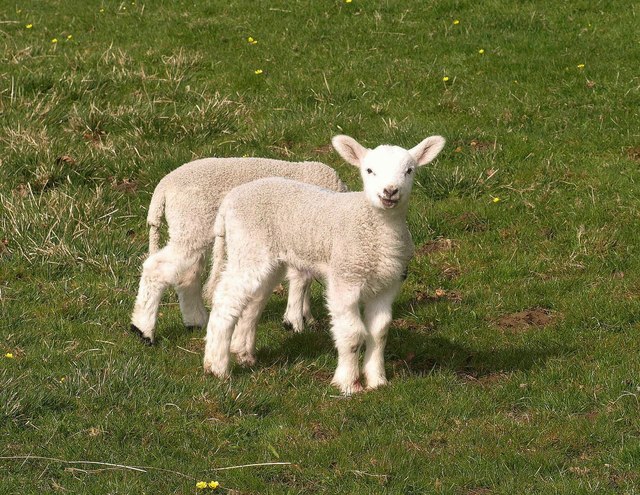
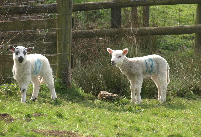
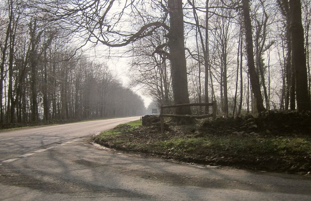
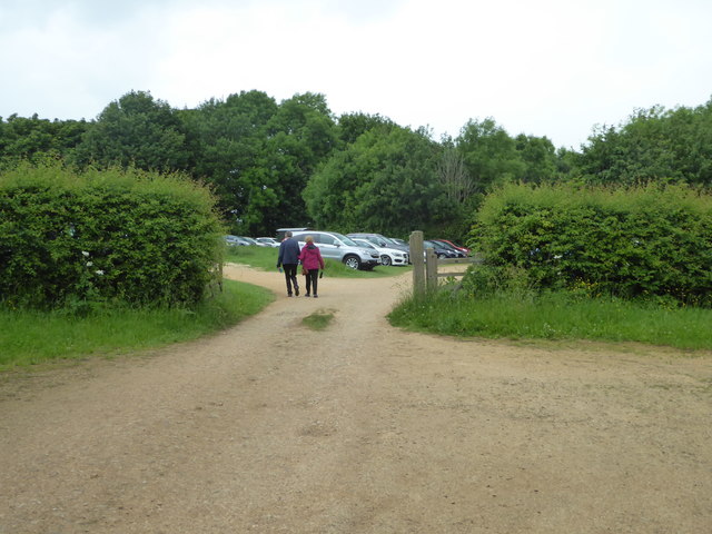
Black Plantation Images
Images are sourced within 2km of 51.941275/-1.6338759 or Grid Reference SP2527. Thanks to Geograph Open Source API. All images are credited.

Black Plantation is located at Grid Ref: SP2527 (Lat: 51.941275, Lng: -1.6338759)
Administrative County: Gloucestershire
District: Cotswold
Police Authority: Gloucestershire
What 3 Words
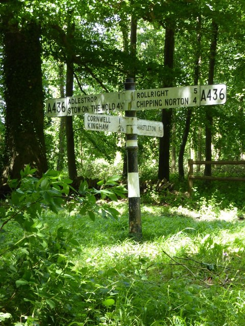
///vows.etchings.upset. Near Chipping Norton, Oxfordshire
Nearby Locations
Related Wikis

Daylesford House
Daylesford House is a Georgian country house near Daylesford, Gloucestershire, England, on the north bank of the River Evenlode near the border with Oxfordshire...

Adlestrop
Adlestrop () is a village and civil parish in the Cotswolds, 3 miles (5 km) east of Stow-on-the-Wold, Gloucestershire, England, on the county boundary...

Daylesford, Gloucestershire
Daylesford is a small, privately owned village and former civil parish, now in the parish of Adlestrop, in the Cotswold district, in the county of Gloucestershire...
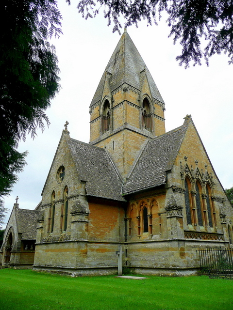
Church of St Peter, Daylesford
The Anglican Church of St Peter at Daylesford in the Cotswold District of Gloucestershire, England was rebuilt in 1860. It is a grade I listed building...

Kingham Hill School
Kingham Hill School is a Christian co-educational private day and boarding school for children aged 11–19, located near the village of Kingham in Oxfordshire...

Cornwell, Oxfordshire
Cornwell is a small village and civil parish about 2.5 miles (4 km) west of Chipping Norton in the West Oxfordshire district of Oxfordshire, near the county...
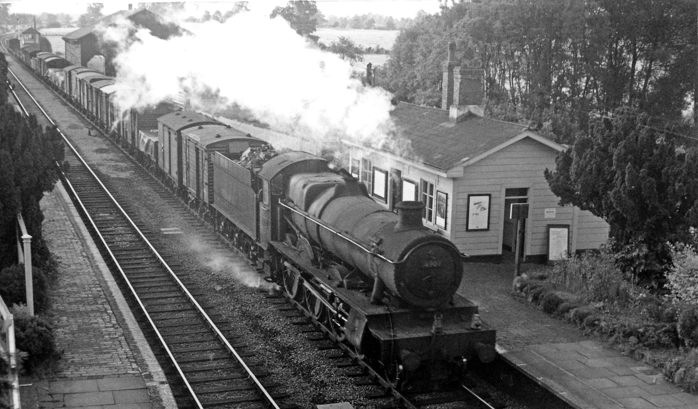
Adlestrop railway station
Adlestrop railway station was a railway station which served the village of Adlestrop in Gloucestershire, England, between 1853 and 1966. It was on what...
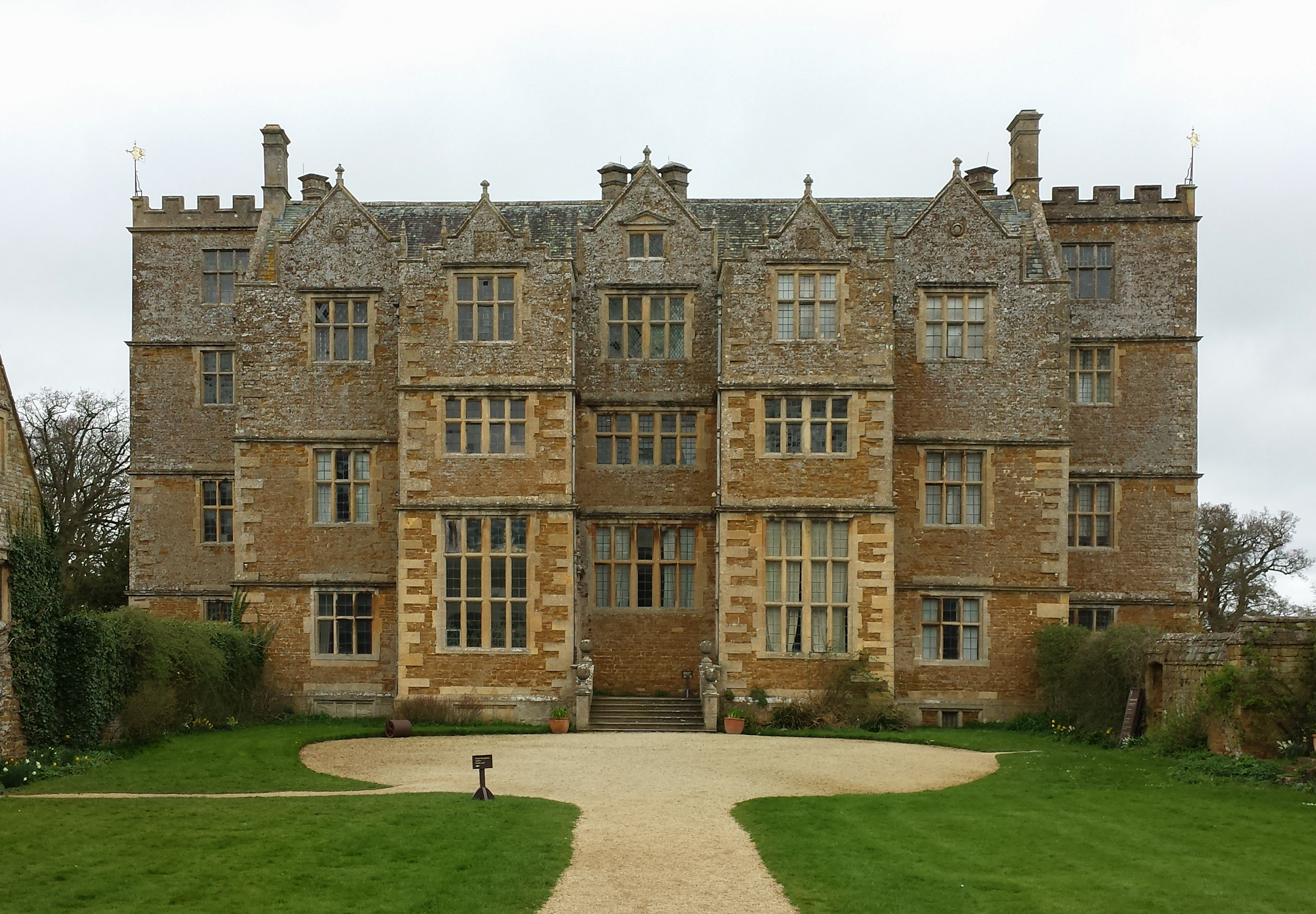
Chastleton House
Chastleton House () is a Jacobean country house at Chastleton, Oxfordshire, England, close to Moreton-in-Marsh (grid reference SP2429). It has been owned...
Nearby Amenities
Located within 500m of 51.941275,-1.6338759Have you been to Black Plantation?
Leave your review of Black Plantation below (or comments, questions and feedback).