Anthony Quarry Wood
Wood, Forest in Gloucestershire Cotswold
England
Anthony Quarry Wood
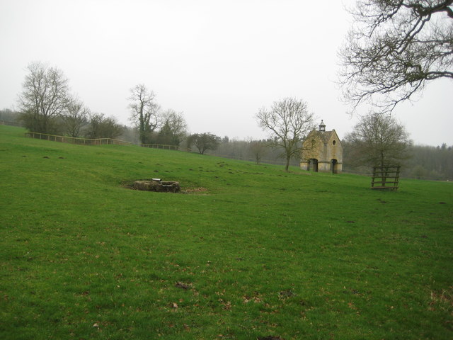
Anthony Quarry Wood is a picturesque forest located in the county of Gloucestershire, England. Covering an area of approximately 10 hectares, it is a thriving natural habitat that boasts a diverse range of flora and fauna. The wood is situated within the larger Forest of Dean, a renowned ancient woodland that has been in existence for thousands of years.
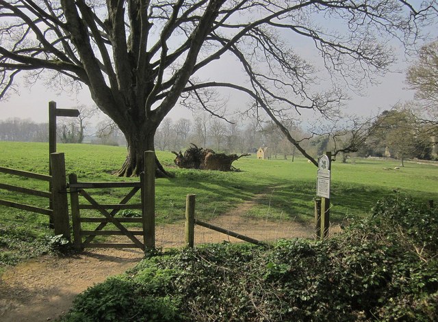
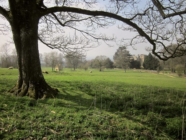
The woodland is characterized by its dense canopy of towering trees, predominantly consisting of oak and beech varieties. These majestic trees provide a tranquil and shady environment, perfect for leisurely walks and picnics. The forest floor is carpeted with a rich layer of mosses, ferns, and wildflowers, adding to its natural beauty.
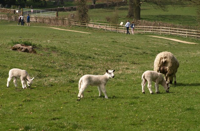
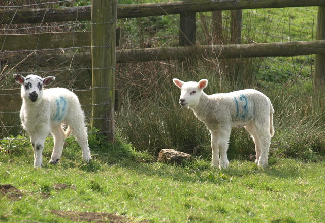
Anthony Quarry Wood is home to a wide array of wildlife, making it a haven for nature enthusiasts. Visitors may spot various bird species, including woodpeckers, song thrushes, and owls, as well as small mammals such as squirrels and hedgehogs. Additionally, the wood is inhabited by a diverse range of insects and invertebrates, contributing to its ecological importance.
The forest also holds historical significance, as it was once a quarry for the extraction of stone used in the construction of local buildings. Remnants of this past activity can still be seen in the form of disused quarries and stone walls, adding an intriguing element to the woodland's landscape.
Overall, Anthony Quarry Wood is a cherished natural gem within Gloucestershire. Its combination of scenic beauty, abundant wildlife, and historical remnants make it a popular destination for both locals and tourists seeking a tranquil nature retreat.
If you have any feedback on the listing, please let us know in the comments section below.
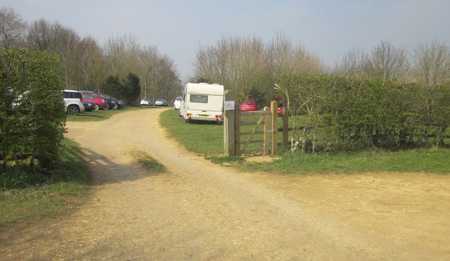
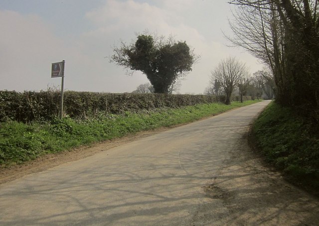
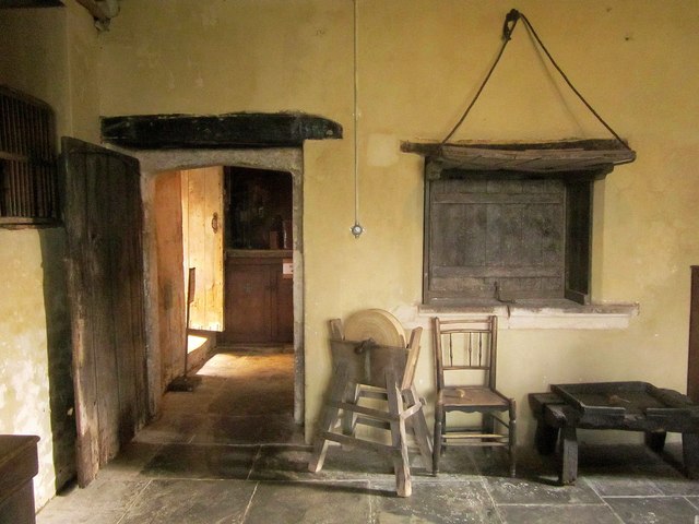
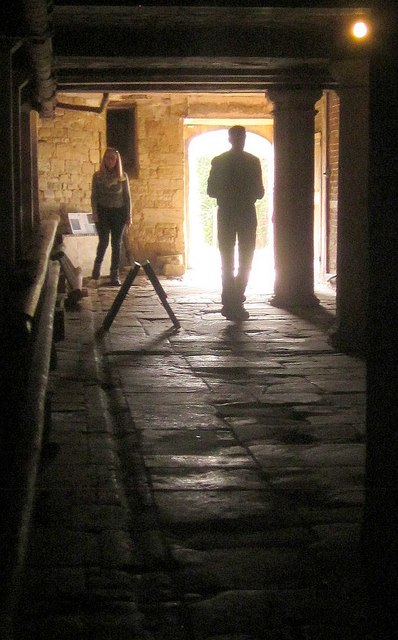
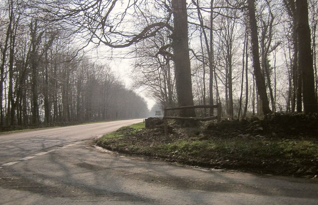
Anthony Quarry Wood Images
Images are sourced within 2km of 51.941308/-1.635825 or Grid Reference SP2527. Thanks to Geograph Open Source API. All images are credited.


Anthony Quarry Wood is located at Grid Ref: SP2527 (Lat: 51.941308, Lng: -1.635825)
Administrative County: Gloucestershire
District: Cotswold
Police Authority: Gloucestershire
What 3 Words
///yelled.body.flannel. Near Donnington, Gloucestershire
Nearby Locations
Related Wikis

Daylesford House
Daylesford House is a Georgian country house near Daylesford, Gloucestershire, England, on the north bank of the River Evenlode near the border with Oxfordshire...

Adlestrop
Adlestrop () is a village and civil parish in the Cotswolds, 3 miles (5 km) east of Stow-on-the-Wold, Gloucestershire, England, on the county boundary...

Daylesford, Gloucestershire
Daylesford is a small, privately owned village and former civil parish, now in the parish of Adlestrop, in the Cotswold district, in the county of Gloucestershire...
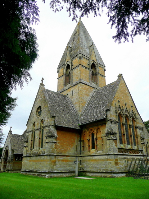
Church of St Peter, Daylesford
The Anglican Church of St Peter at Daylesford in the Cotswold District of Gloucestershire, England was rebuilt in 1860. It is a grade I listed building...
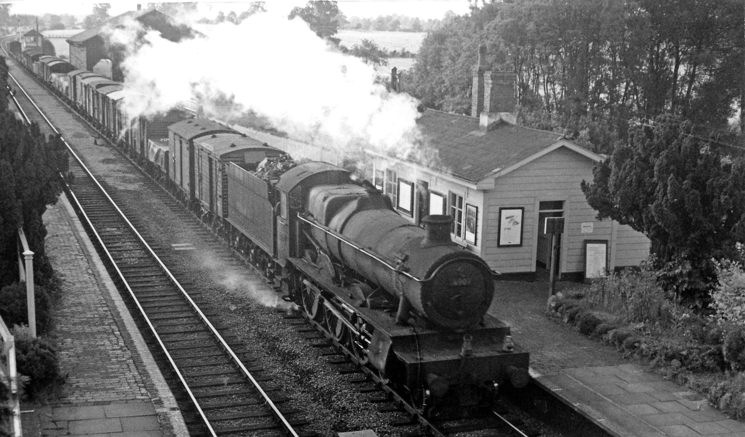
Adlestrop railway station
Adlestrop railway station was a railway station which served the village of Adlestrop in Gloucestershire, England, between 1853 and 1966. It was on what...

Kingham Hill School
Kingham Hill School is a Christian co-educational private day and boarding school for children aged 11–19, located near the village of Kingham in Oxfordshire...

Cornwell, Oxfordshire
Cornwell is a small village and civil parish about 2.5 miles (4 km) west of Chipping Norton in the West Oxfordshire district of Oxfordshire, near the county...
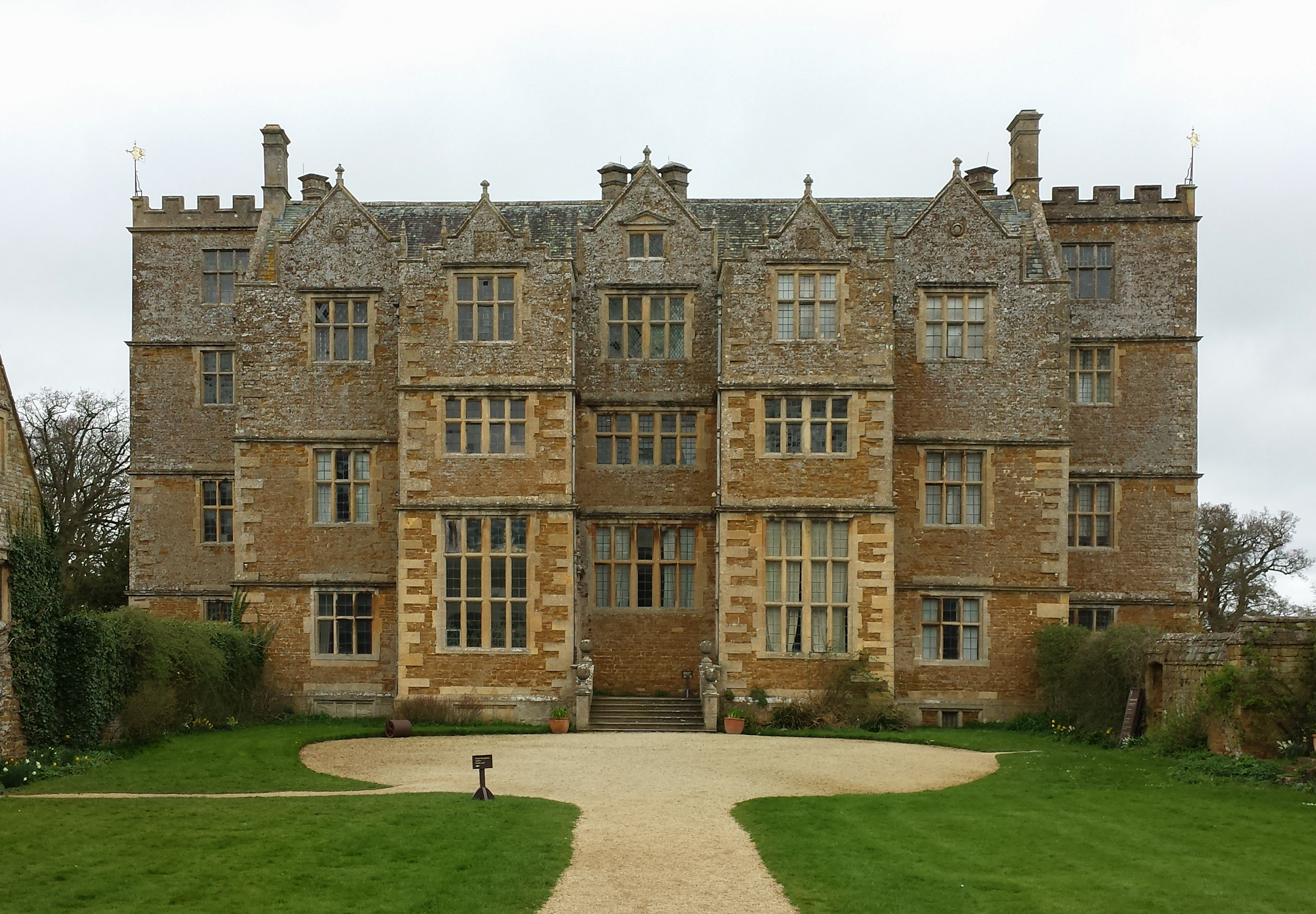
Chastleton House
Chastleton House () is a Jacobean country house at Chastleton, Oxfordshire, England, close to Moreton-in-Marsh (grid reference SP2429). It has been owned...
Nearby Amenities
Located within 500m of 51.941308,-1.635825Have you been to Anthony Quarry Wood?
Leave your review of Anthony Quarry Wood below (or comments, questions and feedback).