Stripe Plantation
Wood, Forest in Yorkshire Hambleton
England
Stripe Plantation
Stripe Plantation is a picturesque woodland located in Yorkshire, England. Spanning over a vast area, the plantation is renowned for its dense growth of trees and its mesmerizing natural beauty. The forest is primarily composed of various species of deciduous and coniferous trees, creating a diverse ecosystem that supports a wide range of wildlife.
The plantation is characterized by its distinct feature of stripes, which gives it its name. The alternating patterns of light and dark created by the different tree species make for a visually striking landscape, especially during the autumn season when the leaves change colors. This unique spectacle attracts visitors from far and wide who come to witness the breathtaking beauty of the plantation.
The woodland is well-preserved and managed, ensuring the conservation of its natural resources and the protection of its inhabitants. It serves as a sanctuary for numerous species of birds, mammals, and insects, making it a popular spot for birdwatching and wildlife enthusiasts. The tranquil atmosphere within the plantation provides a peaceful escape from the hustle and bustle of everyday life.
Visitors to Stripe Plantation can enjoy a range of activities such as hiking, nature walks, and photography. There are well-maintained trails that wind through the forest, allowing visitors to explore its hidden gems and discover its hidden treasures. The plantation also hosts educational programs and guided tours to raise awareness about the importance of preserving such natural habitats.
In conclusion, Stripe Plantation in Yorkshire is a magnificent woodland known for its stunning striped landscape, diverse flora and fauna, and its serene ambiance. It offers a unique and immersive experience for nature lovers and provides a valuable habitat for the local wildlife.
If you have any feedback on the listing, please let us know in the comments section below.
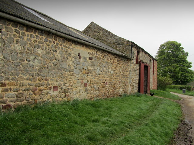
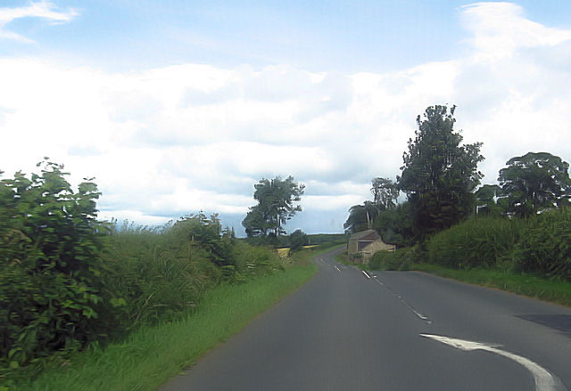
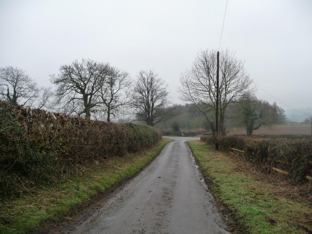
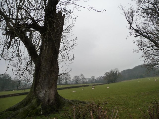
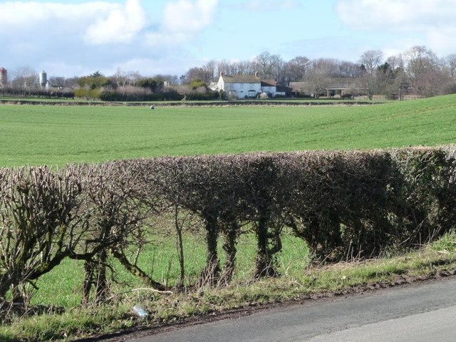
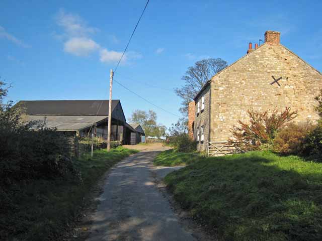
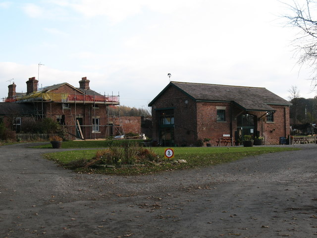
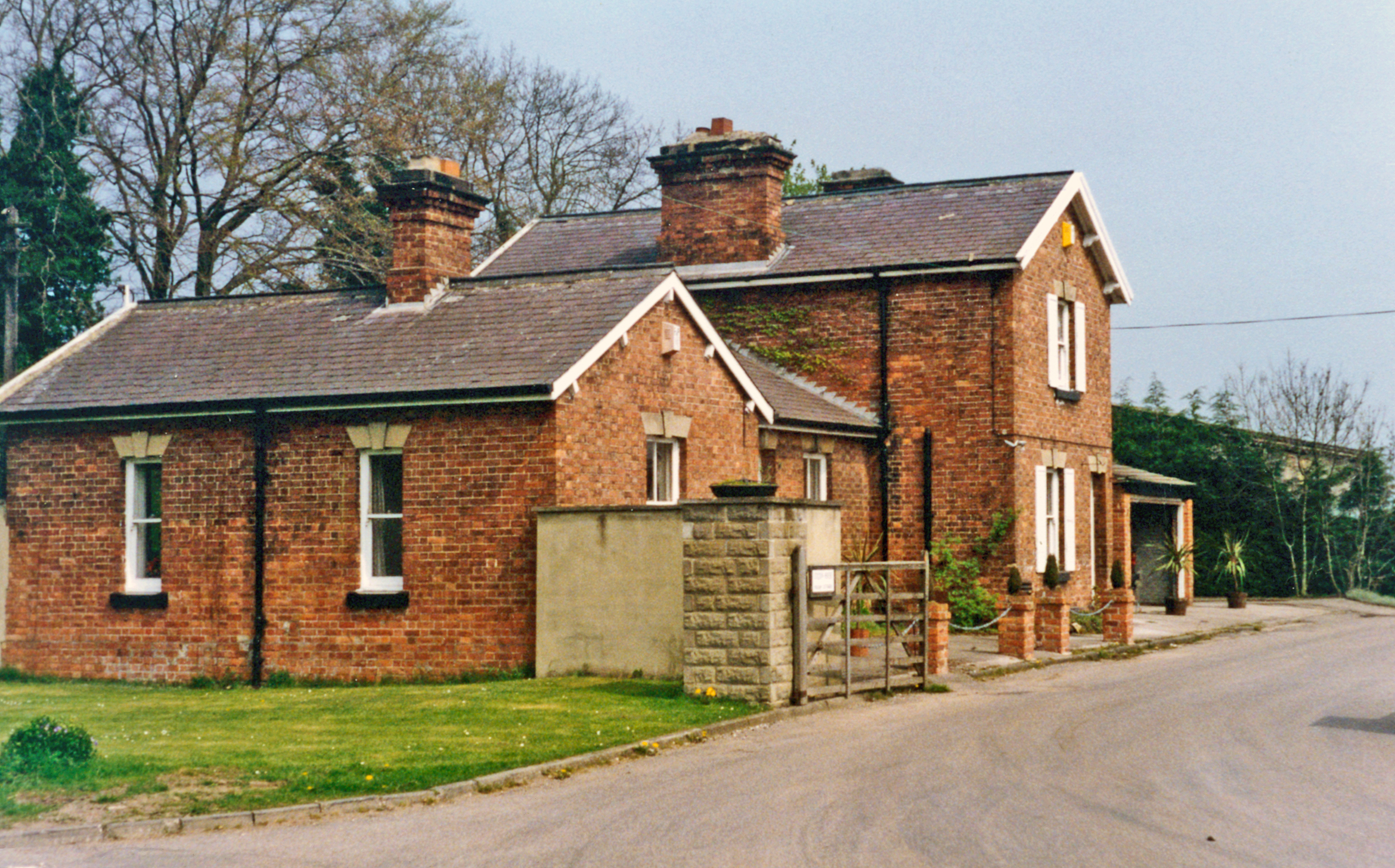
Stripe Plantation Images
Images are sourced within 2km of 54.223667/-1.6160663 or Grid Reference SE2580. Thanks to Geograph Open Source API. All images are credited.


![Road junction, Binsoe Park Lane coming in across the grass from the right [south-east]. Thiefgate Lane straight ahead [north-west] and Binsoe Lane running across. Unseen is a fifth lane west to Binsoe Hill Farm.](https://s1.geograph.org.uk/geophotos/03/37/01/3370177_3105f7f8.jpg)


Stripe Plantation is located at Grid Ref: SE2580 (Lat: 54.223667, Lng: -1.6160663)
Division: North Riding
Administrative County: North Yorkshire
District: Hambleton
Police Authority: North Yorkshire
What 3 Words
///conqueror.wisely.spells. Near Masham, North Yorkshire
Nearby Locations
Related Wikis
Binsoe
Binsoe is a hamlet in the civil parish of West Tanfield, North Yorkshire, England. The hamlet is just to the north of the A6108 road, being 1.25 miles...

Burton-on-Yore
Burton-on-Yore (historically also Burton upon Ure) is a civil parish in the Harrogate district of North Yorkshire, England, facing Masham across the River...

Well, North Yorkshire
Well is a small village and civil parish in North Yorkshire, England. It is about 4 miles south of Bedale, near Snape. Well is situated at the edge of...
Masham railway station
Masham railway station was the terminus of the Melmerby to Masham branch line serving the town of Masham in North Yorkshire, England. It was on the eastern...

Church of St Mary the Virgin, Masham
The Church of St Mary the Virgin, Masham (also known as the Church of St Mary or St Mary's Church), is the parish church in the town of Masham, North Yorkshire...
Tanfield railway station
Tanfield railway station was a railway station serving the community of West Tanfield on the Masham Line in North Yorkshire, England. The station was opened...
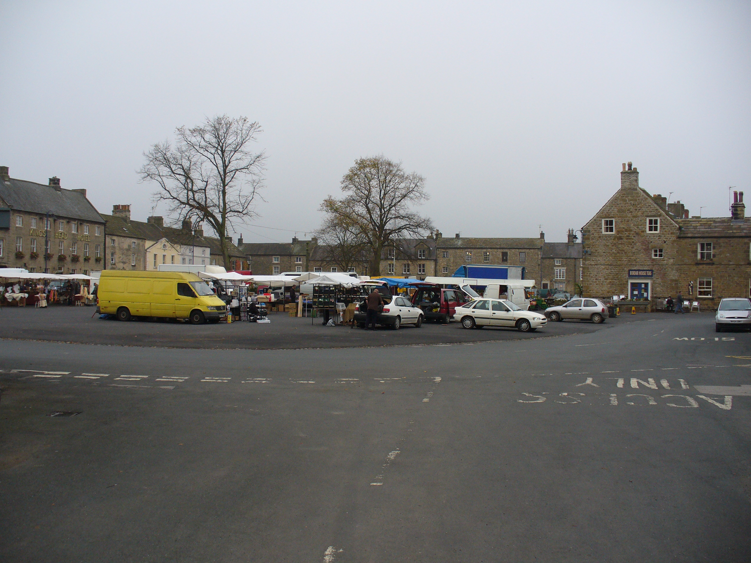
Masham
Masham ( MASS-əm) is a market town and civil parish in North Yorkshire, England. It had a population of 1,205 at the 2011 census. == Etymology == In Wensleydale...
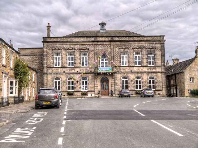
Masham Town Hall
Masham Town Hall is a municipal building in the Little Market Place, Masham, North Yorkshire, England. The structure, which is used as an events venue...
Nearby Amenities
Located within 500m of 54.223667,-1.6160663Have you been to Stripe Plantation?
Leave your review of Stripe Plantation below (or comments, questions and feedback).