Highland Water Inclosure
Wood, Forest in Hampshire New Forest
England
Highland Water Inclosure
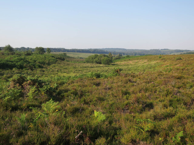
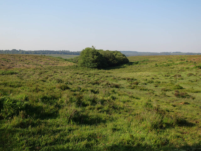
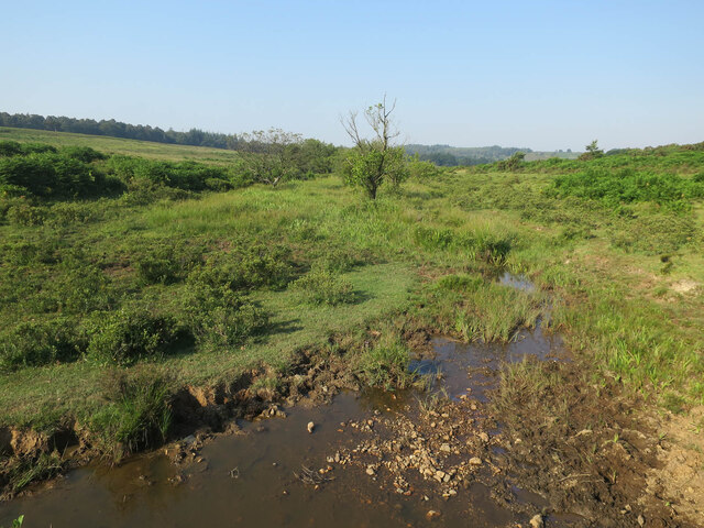
Highland Water Inclosure is a picturesque woodland located in Hampshire, England. Situated in the heart of the New Forest, this inclosure spans an area of approximately 100 acres and is known for its stunning natural beauty and diverse wildlife.
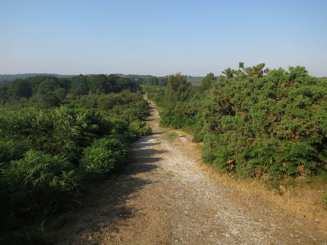
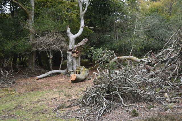
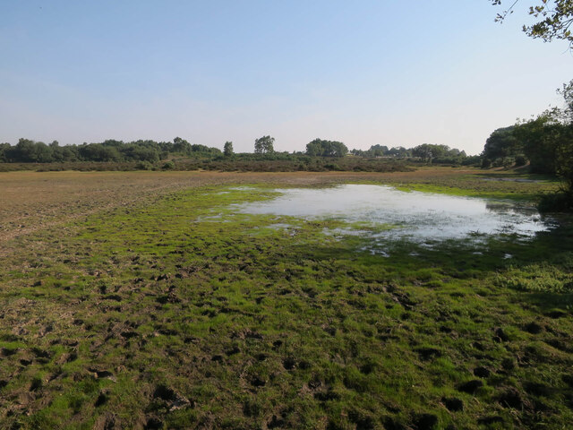
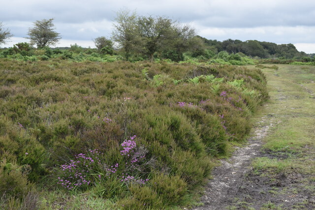
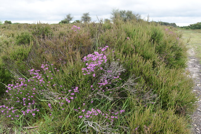
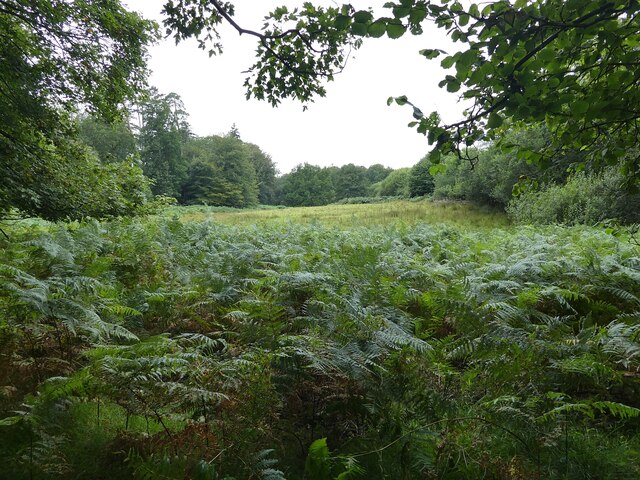
The woodland is primarily composed of ancient oak and beech trees, which provide a dense canopy, creating a peaceful and serene atmosphere. The forest floor is covered in a rich carpet of mosses, ferns, and wildflowers, adding to the enchanting ambiance of the area.
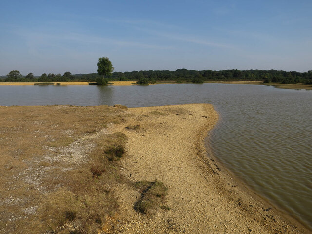
Highland Water, a meandering stream that runs through the inclosure, is a prominent feature of the landscape. It is bordered by lush vegetation and is home to a variety of aquatic species, such as trout and eels. The stream also attracts a wide range of bird species, including kingfishers, herons, and ducks, making it a haven for birdwatchers and nature enthusiasts.
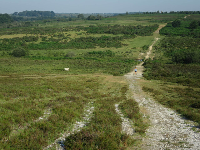
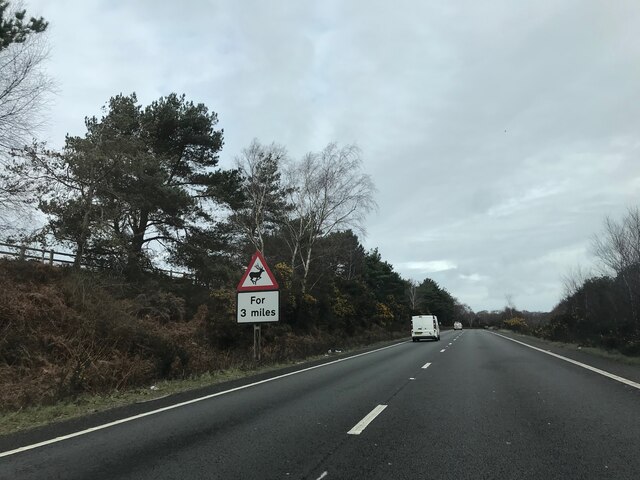
The woodland is also a popular destination for hikers and cyclists, with well-maintained trails that wind through the trees, offering stunning views and opportunities to discover the local flora and fauna. There are also several picnic areas and benches scattered throughout the inclosure, providing a perfect spot to relax and enjoy the tranquil surroundings.
Managed by the Forestry Commission, Highland Water Inclosure is open to the public year-round, with free entry for visitors. The inclosure has ample parking facilities and is easily accessible from nearby villages and towns.
Overall, Highland Water Inclosure is a hidden gem in Hampshire, offering a peaceful escape from the hustle and bustle of everyday life, and providing a unique opportunity to immerse oneself in the beauty of nature.
If you have any feedback on the listing, please let us know in the comments section below.
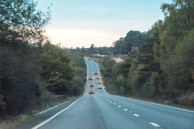
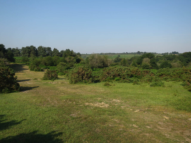
Highland Water Inclosure Images
Images are sourced within 2km of 50.883283/-1.6426223 or Grid Reference SU2509. Thanks to Geograph Open Source API. All images are credited.


Highland Water Inclosure is located at Grid Ref: SU2509 (Lat: 50.883283, Lng: -1.6426223)
Administrative County: Hampshire
District: New Forest
Police Authority: Hampshire
What 3 Words
///grumbles.marmalade.impaled. Near Lyndhurst, Hampshire
Nearby Locations
Related Wikis

New Forest District
New Forest is a local government district in Hampshire, England. Its council is based in Lyndhurst, although the largest town is Totton. The district also...

Portuguese Fireplace
The Portuguese Fireplace is a war memorial in the New Forest National Park, near the village of Lyndhurst, Hampshire, England. It is located on the road...

Bolderwood, Hampshire
Bolderwood is an area of the New Forest in Hampshire. Bolderwood hosts a deer sanctuary with a public deer observation platform. As a result, the public...

New Forest
The New Forest is one of the largest remaining tracts of unenclosed pasture land, heathland and forest in Southern England, covering southwest Hampshire...

Minstead
Minstead is a small village and civil parish in the New Forest, Hampshire, about 2 miles (3.2 km) north of Lyndhurst. There is a shop and a pub, the Trusty...

Knightwood Oak
The Knightwood Oak is a pedunculate oak and the largest, and perhaps most famous, oak tree in the New Forest, in southern England. It is also known as...

Emery Down
Emery Down is a small village in the New Forest National Park in Hampshire, England. Its nearest town is Lyndhurst, which lies approximately 1.4 miles...

Upper Canterton
Upper Canterton is a village in Hampshire, England, located at 50°54′36″N 1°37′24″W. It is near Minstead. == References == The geographic coordinates are...
Nearby Amenities
Located within 500m of 50.883283,-1.6426223Have you been to Highland Water Inclosure?
Leave your review of Highland Water Inclosure below (or comments, questions and feedback).