Puckpits Inclosure
Wood, Forest in Hampshire New Forest
England
Puckpits Inclosure
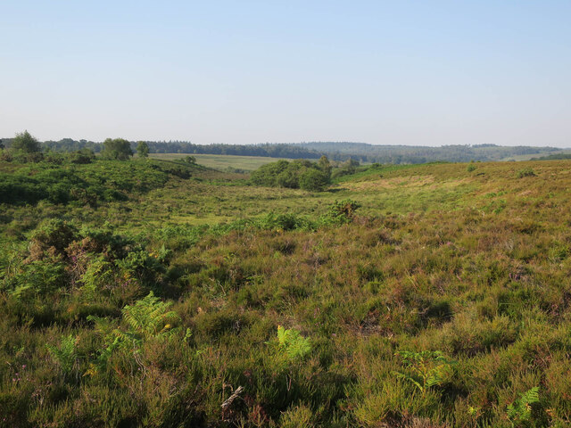
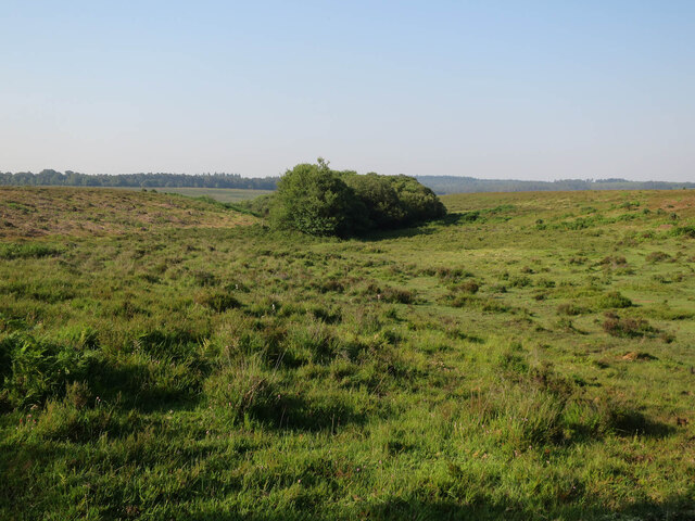
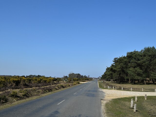
Puckpits Inclosure is a woodland area located in Hampshire, England. It is part of the larger New Forest, which is a national park and a site of special scientific interest. The inclosure covers an approximate area of 300 hectares and is characterized by its dense and diverse vegetation.
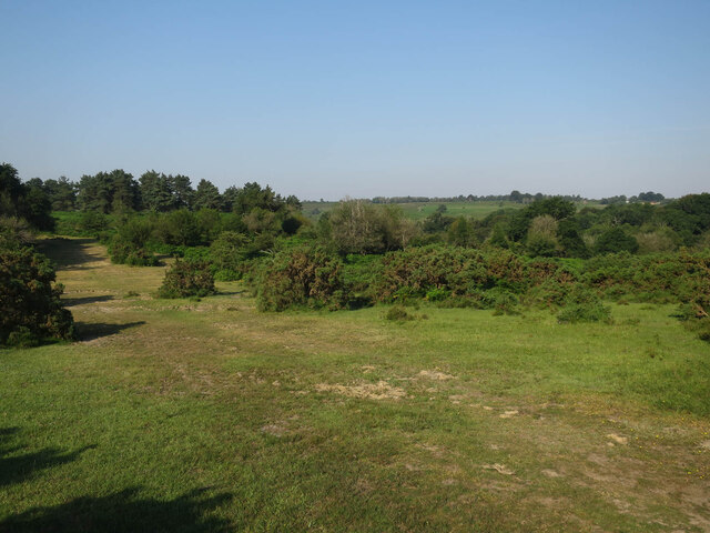
The woodland is predominantly made up of oak and beech trees, with some areas also featuring birch and pine. These trees provide a rich habitat for a variety of wildlife, making Puckpits Inclosure an important conservation area. Visitors to the inclosure can expect to see a wide range of bird species, including woodpeckers, nuthatches, and tawny owls. Mammals such as deer, foxes, and badgers also inhabit the woodland.
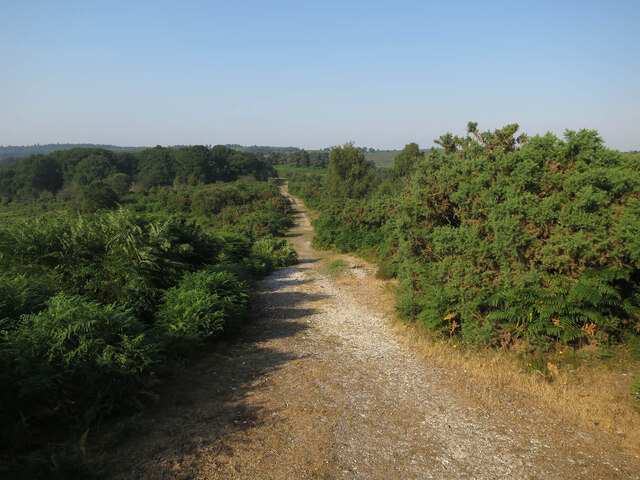
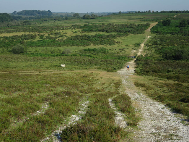
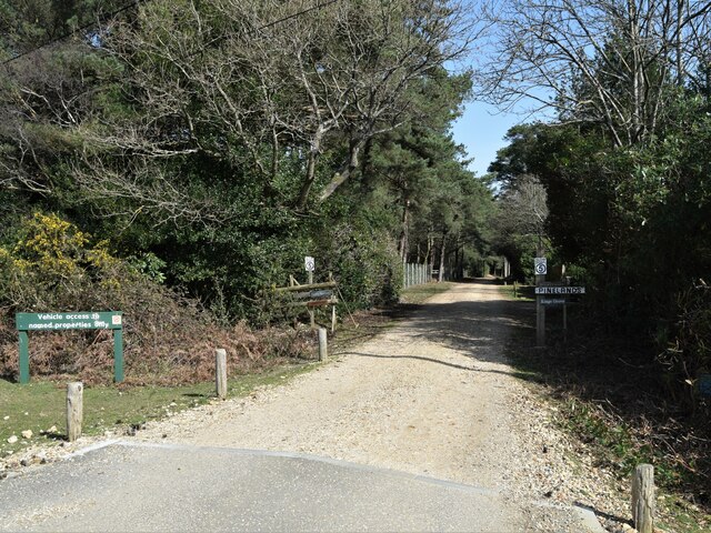
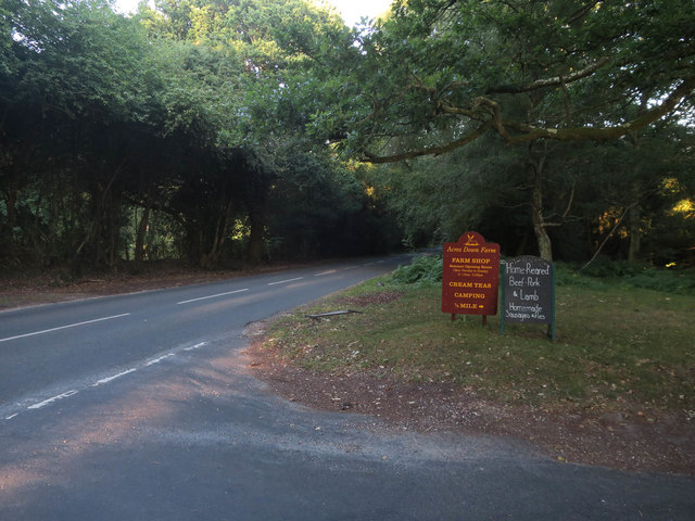
Puckpits Inclosure offers several walking trails that allow visitors to explore the area and enjoy its natural beauty. These paths wind through the trees, offering peaceful and picturesque views. Additionally, the inclosure is popular among mountain bikers, who can enjoy the challenging terrain and stunning surroundings.
The woodland has a rich history, with evidence of human activity dating back to the Bronze Age. Puckpits Inclosure was traditionally used for grazing livestock, but it was later designated as a forest reserve to protect its ecological value.
Overall, Puckpits Inclosure in Hampshire is a captivating woodland area that offers visitors the opportunity to immerse themselves in nature and discover the diverse wildlife that calls it home.
If you have any feedback on the listing, please let us know in the comments section below.
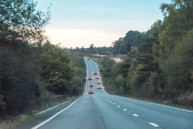
Puckpits Inclosure Images
Images are sourced within 2km of 50.886662/-1.6388718 or Grid Reference SU2509. Thanks to Geograph Open Source API. All images are credited.


Puckpits Inclosure is located at Grid Ref: SU2509 (Lat: 50.886662, Lng: -1.6388718)
Administrative County: Hampshire
District: New Forest
Police Authority: Hampshire
What 3 Words
///stables.stilted.removal. Near Lyndhurst, Hampshire
Nearby Locations
Related Wikis

New Forest District
New Forest is a local government district in Hampshire, England. Its council is based in Lyndhurst, although the largest town is Totton. The district also...

Portuguese Fireplace
The Portuguese Fireplace is a war memorial in the New Forest National Park, near the village of Lyndhurst, Hampshire, England. It is located on the road...

Minstead
Minstead is a small village and civil parish in the New Forest, Hampshire, about 2 miles (3.2 km) north of Lyndhurst. There is a shop and a pub, the Trusty...

Upper Canterton
Upper Canterton is a village in Hampshire, England, located at 50°54′36″N 1°37′24″W. It is near Minstead. == References == The geographic coordinates are...

Bolderwood, Hampshire
Bolderwood is an area of the New Forest in Hampshire. Bolderwood hosts a deer sanctuary with a public deer observation platform. As a result, the public...

New Forest
The New Forest is one of the largest remaining tracts of unenclosed pasture land, heathland and forest in Southern England, covering southwest Hampshire...

Emery Down
Emery Down is a small village in the New Forest National Park in Hampshire, England. Its nearest town is Lyndhurst, which lies approximately 1.4 miles...

Ocknell Plain
Ocknell Plain can be found in the New Forest near Southampton, England. The area was used in World War II for the Stoney Cross airfield and it is now very...
Nearby Amenities
Located within 500m of 50.886662,-1.6388718Have you been to Puckpits Inclosure?
Leave your review of Puckpits Inclosure below (or comments, questions and feedback).