Bog Plantation

Wood, Forest in Yorkshire

England

Bog Plantation

Golden Acre Park The lake at Golden Acre Park near Leeds.
Golden Acre Park Credit: Mick Melvin

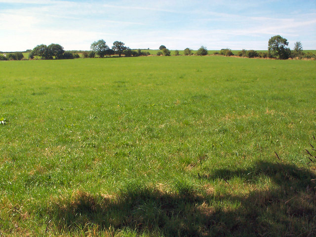
Bog Plantation is a charming woodland located in Yorkshire, England. Situated in a remote area, it covers a vast expanse of approximately 120 acres. The plantation is primarily known for its captivating bog ecosystem, which is a unique feature in this region. The bog is formed by an abundance of sphagnum moss and other water-loving plants, creating a distinctive wetland habitat.

The woodland itself is a diverse mix of deciduous and coniferous trees, providing a habitat for a wide range of flora and fauna. Ancient oaks, birches, and beech trees dominate the landscape, while spruces and pines add a touch of evergreen beauty. The forest floor is carpeted with a rich variety of wildflowers, ferns, and mosses, making it an enchanting sight during spring and summer.

Bog Plantation is home to a plethora of wildlife, including numerous bird species. Visitors may spot woodpeckers, owls, and various songbirds, as well as mammals such as badgers, foxes, and deer. The bog serves as a breeding ground for amphibians like frogs and newts, while dragonflies and butterflies flutter around the waterlogged areas.

The plantation offers several walking trails, allowing visitors to explore the stunning surroundings at their own pace. These trails wind through the forest, offering glimpses of picturesque ponds, bubbling streams, and secluded clearings. Nature enthusiasts and photographers will find ample opportunities to capture the beauty of the bog and its inhabitants.

Bog Plantation is a hidden gem in Yorkshire, offering a tranquil escape for those seeking the serenity of nature. It provides a fascinating insight into the diverse ecosystems found within woodlands and is a must-visit for anyone with an appreciation for the natural world.

If you have any feedback on the listing, please let us know in the comments section below.

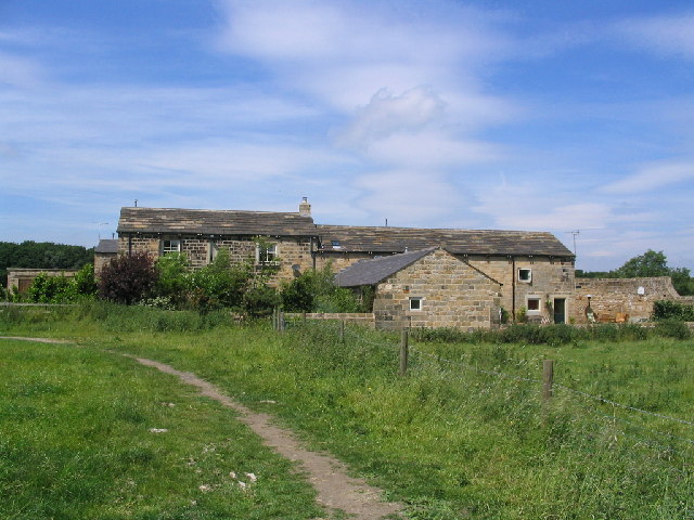
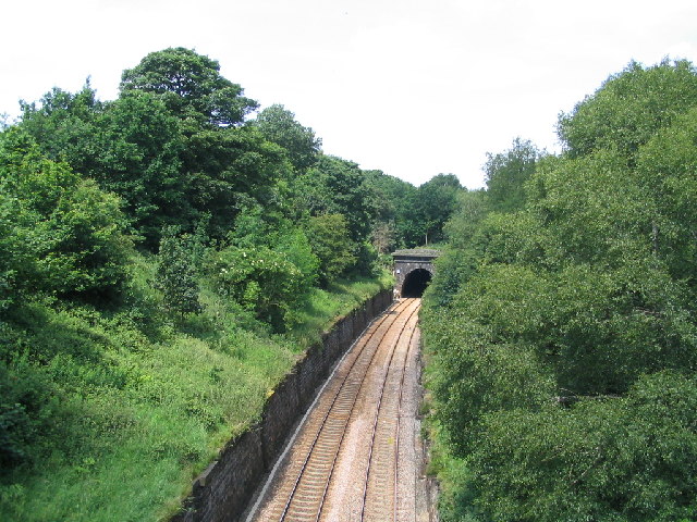
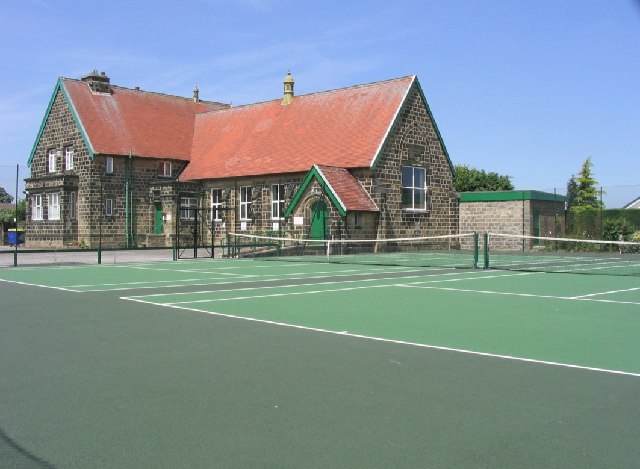
Bog Plantation Images

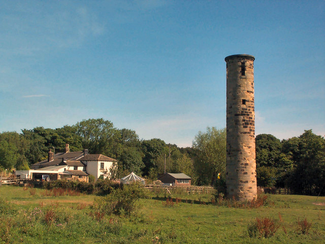
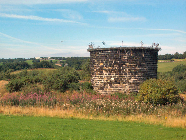
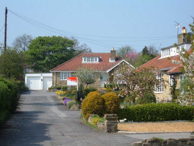
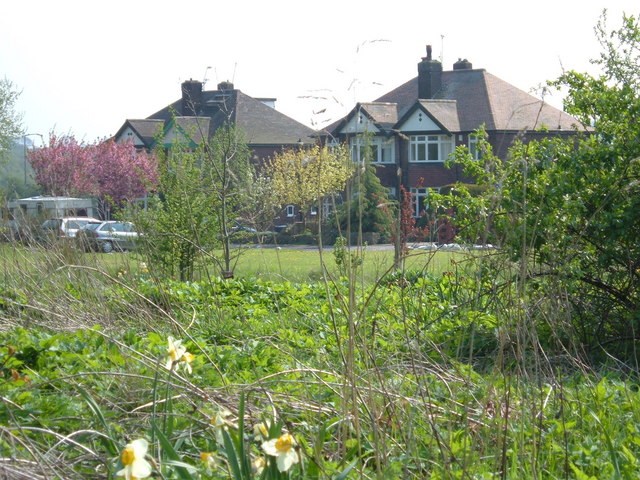
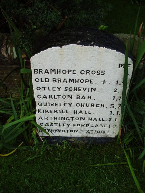
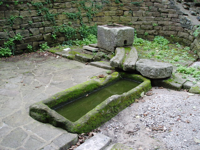
Images are sourced within 2km of 53.873784/-1.617679 or Grid Reference SE2542. Thanks to Geograph Open Source API. All images are credited.

Golden Acre Park The lake at Golden Acre Park near Leeds.
Golden Acre Park
The lake at Golden Acre Park near Leeds.
The Bridge Golden Acre Park The bridge over Marsh Beck in Golden Acre Park Leeds
The Bridge Golden Acre Park
The bridge over Marsh Beck in Golden Acre Park Leeds
Old Rushes Farm Old Rushes Farm seen from the Leeds Country Way
Old Rushes Farm
Old Rushes Farm seen from the Leeds Country Way
Moseley Bottom The  entrance to the railway tunnel at Moseley Bottom on the Leeds to Harrogate line
Moseley Bottom
The entrance to the railway tunnel at Moseley Bottom on the Leeds to Harrogate line
Robert Craven Memorial Hall Built in 1896, this is the village hall for the village of Bramhope. Built using a legacy of a local farmer, Robert Craven.
Robert Craven Memorial Hall
Built in 1896, this is the village hall for the village of Bramhope. Built using a legacy of a local farmer, Robert Craven.
Crag Hill, Bramhope Moor Pasture land viewed southwards from Old Road.
Crag Hill, Bramhope Moor
Pasture land viewed southwards from Old Road.
Sighting tower south of Bramhope This is a sighting tower, built so that the engineers could keep a true line during construction of the Bramhope Tunnel on the Leeds to Harrogate railway line, directly underneath this point. This field was also used as a navvie camp during construction.  See <span class="nowrap"><a title="http://www.bramhope.org/brtunnel.htm" rel="nofollow ugc noopener" href="http://www.bramhope.org/brtunnel.htm">Link</a><img style="margin-left:2px;" alt="External link" title="External link - shift click to open in new window" src="https://s1.geograph.org.uk/img/external.png" width="10" height="10"/></span>
Sighting tower south of Bramhope
This is a sighting tower, built so that the engineers could keep a true line during construction of the Bramhope Tunnel on the Leeds to Harrogate railway line, directly underneath this point. This field was also used as a navvie camp during construction. See LinkExternal link
Air shaft, Bramhope Tunnel Bramhope Tunnel is on the Leeds to Harrogate railway line. The tunnel is over two miles long and was constructed from 1845 to 1849 at a cost of 24 lives. There are four of these shafts, and also a sighting tower survives (SE2442).  See the excellent description at <span class="nowrap"><a title="http://www.bramhope.org/brtunnel.htm" rel="nofollow ugc noopener" href="http://www.bramhope.org/brtunnel.htm">Link</a><img style="margin-left:2px;" alt="External link" title="External link - shift click to open in new window" src="https://s1.geograph.org.uk/img/external.png" width="10" height="10"/></span>
Air shaft, Bramhope Tunnel
Bramhope Tunnel is on the Leeds to Harrogate railway line. The tunnel is over two miles long and was constructed from 1845 to 1849 at a cost of 24 lives. There are four of these shafts, and also a sighting tower survives (SE2442). See the excellent description at LinkExternal link
Cookridge Methodist Church, Tinshill Road, Cookridge, Leeds The church is near the junction of Tinshill Road and Otley Old Road. This is the view from Tinshill Road looking south-east
Cookridge Methodist Church, Tinshill Road, Cookridge, Leeds
The church is near the junction of Tinshill Road and Otley Old Road. This is the view from Tinshill Road looking south-east
Bramhope Post Office Diversify to prosper!
Bramhope Post Office
Diversify to prosper!
Sycamore Close, Bramhope, LS16 Cul-de-sac at the southernmost edge of the village of Bramhope. Shown as undeveloped on the 1940s map.
Sycamore Close, Bramhope, LS16
Cul-de-sac at the southernmost edge of the village of Bramhope. Shown as undeveloped on the 1940s map.
Kings Drive, Bramhope, LS16 Situated just off the A660, Otley road. View from "Private Land", not someone's front garden.
Kings Drive, Bramhope, LS16
Situated just off the A660, Otley road. View from "Private Land", not someone's front garden.
Old Milestone in Bramhope This is one of several milestones along the road between Leeds and Otley giving distances in miles and furlongs.
Old Milestone in Bramhope
This is one of several milestones along the road between Leeds and Otley giving distances in miles and furlongs.
Old pump and well complex,  Bramhope A nearby plaque states:" Old Bramhope Township. Well and Pump Complex, origins unknown. Exposed 1992, landscaped 1994. A forgotten past is lost forever."
Old pump and well complex, Bramhope
A nearby plaque states:" Old Bramhope Township. Well and Pump Complex, origins unknown. Exposed 1992, landscaped 1994. A forgotten past is lost forever."
The stream at Golden Acre Park The reed bed on the right is a recent development - I remememebr about 15 years ago there was open water, then a small sandbank which has grown (or been deliberately built up) over the years.
Seen just after coming through the tunnel from the car park.
The stream at Golden Acre Park
The reed bed on the right is a recent development - I remememebr about 15 years ago there was open water, then a small sandbank which has grown (or been deliberately built up) over the years. Seen just after coming through the tunnel from the car park.
Flower beds and monkey puzzle, Golden Acre Park Some of the flower beds near the cafe, with a monkey puzzle (Araucaria araucana)
Flower beds and monkey puzzle, Golden Acre Park
Some of the flower beds near the cafe, with a monkey puzzle (Araucaria araucana)
Field at Black Hill looking towards Bramhope This is taken from the plantation within Golden Acre Park, looking over the boundary fence.
Field at Black Hill looking towards Bramhope
This is taken from the plantation within Golden Acre Park, looking over the boundary fence.
The lake and bird feeding hut, Golden Acre Park This metal hut is probably the 3rd one here in the past 15 years. The oldest one was made of wood, and got dilapidated over the years and was replace with a new one in 2004 or 2005 which can be seen in this picture <a href="https://www.geograph.org.uk/photo/20716">SE2641 : Golden Acre Park</a> . Sadly it was burnt down in 2005, and has been replaced by a more durable but less elegant metal one.
The lake and bird feeding hut, Golden Acre Park
This metal hut is probably the 3rd one here in the past 15 years. The oldest one was made of wood, and got dilapidated over the years and was replace with a new one in 2004 or 2005 which can be seen in this picture SE2641 : Golden Acre Park . Sadly it was burnt down in 2005, and has been replaced by a more durable but less elegant metal one.
Show me another place!

Bog Plantation is located at Grid Ref: SE2542 (Lat: 53.873784, Lng: -1.617679)

Division: West Riding

Unitary Authority: Leeds

Police Authority: West Yorkshire

What 3 Words

///firmly.crest.values. Near Bramhope, West Yorkshire

Related Wikis

A660 road

The A660 is a major road in the Leeds and Bradford districts of West Yorkshire, England that runs from Leeds city centre to Burley-in-Wharfedale where...

Bramhope

Bramhope is a village and civil parish in the City of Leeds metropolitan borough, West Yorkshire, England, north of Holt Park and north east of Cookridge...

Breary Marsh

Breary Marsh is a Local Nature Reserve and Site of Special Scientific Interest situated adjacent to Golden Acre Park in Leeds, West Yorkshire, England...

Leeds Country Way

The Leeds Country Way is a circular long-distance footpath of 62 miles (99 km) around Leeds, West Yorkshire, England. It is never more than 7 miles (11...

Nearby Amenities

Located within 500m of 53.873784,-1.617679
The data included in this document is from www.openstreetmap.org. The data is made available under ODbL.

Have you been to Bog Plantation?

Leave your review of Bog Plantation below (or comments, questions and feedback).