Juncaster Plantation
Wood, Forest in Northumberland
England
Juncaster Plantation
Juncaster Plantation is an expansive woodland area located in Northumberland, England. The plantation covers a vast expanse of land and is characterized by its dense forest cover and diverse flora and fauna. Spanning over several acres, Juncaster Plantation is a popular destination for nature enthusiasts, hikers, and wildlife lovers.
The woodland is predominantly composed of a mix of deciduous and coniferous trees, creating a rich and varied ecosystem. The plantation is home to a wide range of plant species, including oak, beech, birch, and pine trees. These trees provide a habitat for numerous bird species, such as woodpeckers, finches, and owls, making it a haven for birdwatchers.
Juncaster Plantation also boasts a network of well-maintained trails and paths, allowing visitors to explore the woodland and enjoy its natural beauty. The trails offer breathtaking views of the surrounding countryside and provide opportunities for leisurely walks, jogging, and cycling.
The woodland is managed by local authorities, ensuring its preservation and conservation. Conservation efforts focus on maintaining the delicate balance of the ecosystem and protecting the diverse wildlife that inhabits the plantation. This includes the implementation of sustainable forestry practices and the creation of wildlife habitats.
Overall, Juncaster Plantation is a stunning natural attraction in Northumberland, offering visitors an opportunity to immerse themselves in the beauty of nature. Whether it's a peaceful walk, birdwatching, or simply enjoying the tranquility of the forest, this plantation provides a rewarding experience for all nature lovers.
If you have any feedback on the listing, please let us know in the comments section below.
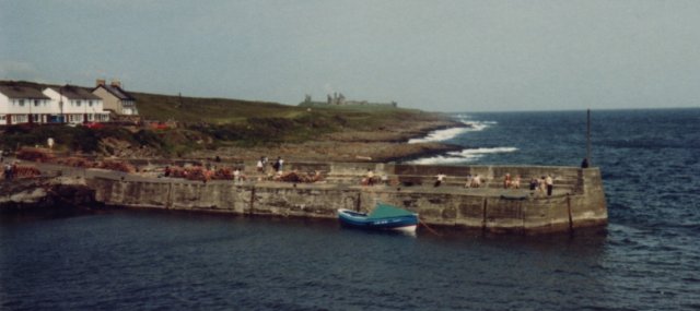
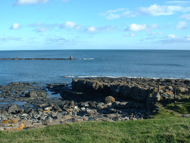
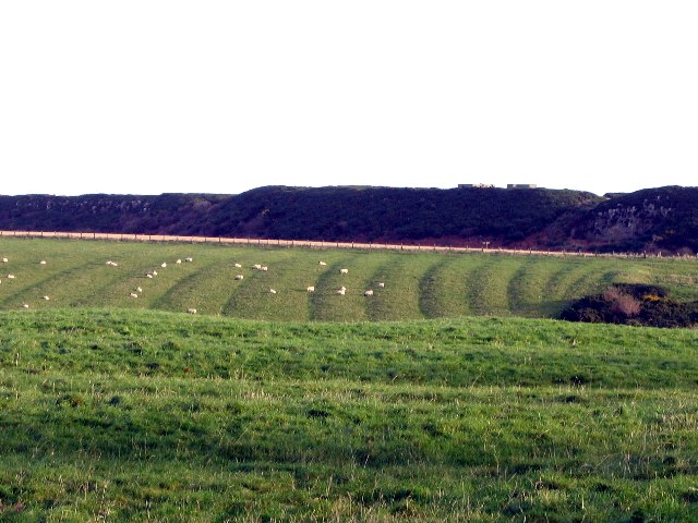
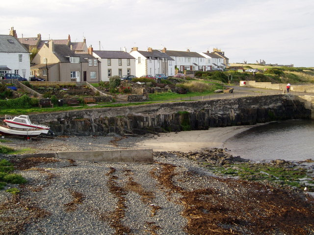
Juncaster Plantation Images
Images are sourced within 2km of 55.46602/-1.6111177 or Grid Reference NU2419. Thanks to Geograph Open Source API. All images are credited.


Juncaster Plantation is located at Grid Ref: NU2419 (Lat: 55.46602, Lng: -1.6111177)
Unitary Authority: Northumberland
Police Authority: Northumbria
What 3 Words
///mouth.developed.hurls. Near Embleton, Northumberland
Nearby Locations
Related Wikis

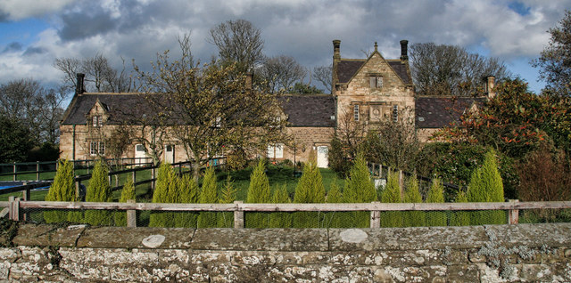
Craster Tower
Craster Tower is an 18th-century Georgian mansion incorporating a 14th-century pele tower situated near the fishing village of Craster, Northumberland...
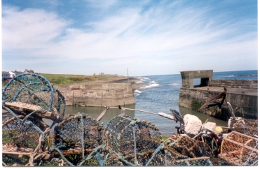
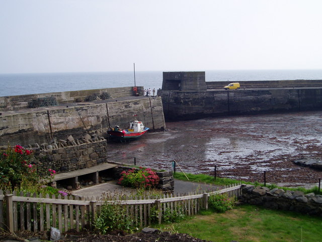
Craster
Craster is a small fishing village on the Northumberland coast of England, eight miles (13 km) from Alnwick. The next village to the north is Embleton...
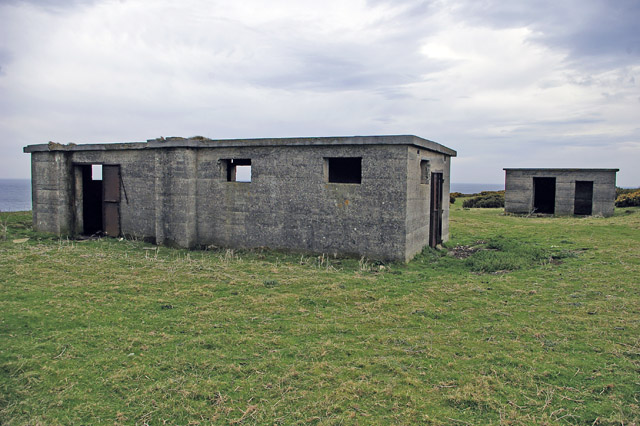
Craster radar station
Craster radar station (also known as RAF Craster), was a Chain Home Low (later a Chain Home Extra Low) Second World War radar site at Craster in Northumberland...

Howick Hall
Howick Hall, a Grade II* listed building in the village of Howick, Northumberland, England, is the ancestral seat of the Earls Grey. It was the home of...
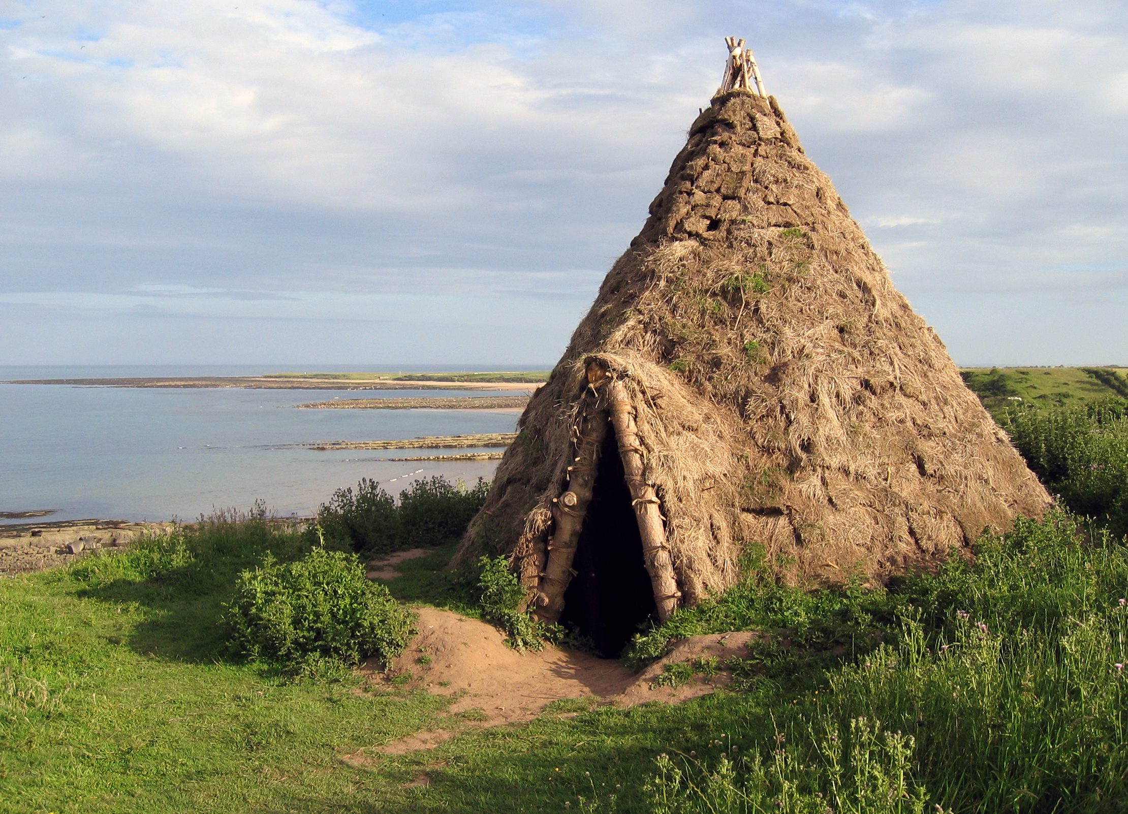
Howick house
The Howick house is a Mesolithic site located in Northumberland, England. It was found when an amateur archaeologist noticed flint tools eroding out of...
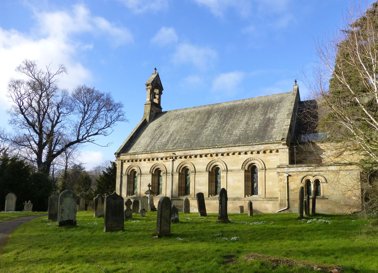
St Michael and All Angels Church (Howick, Northumberland)
St Michael and All Angels Church is a Church of England parish church located within the grounds of the gardens of Howick Hall in the village of Howick...
Howick, Northumberland
Howick ( HOH-ik) is a village and former civil parish, now in the parish of Longhoughton, in Northumberland, England, between Boulmer and Craster. It is...

HMS G11
HMS G11 was a G-class submarine of the Royal Navy in service during the First World War. One of six of her class built by Vickers at Barrow in Furness...
Nearby Amenities
Located within 500m of 55.46602,-1.6111177Have you been to Juncaster Plantation?
Leave your review of Juncaster Plantation below (or comments, questions and feedback).