Dunstan
Settlement in Northumberland
England
Dunstan
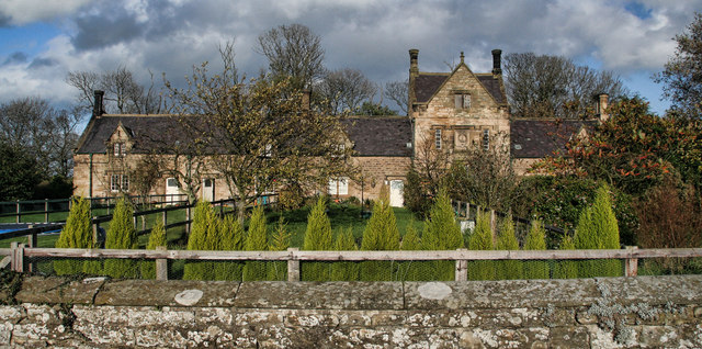
Dunstan is a small village located in the county of Northumberland, England. Situated near the North Sea coast, it is part of the wider parish of Embleton. With a population of around 200 residents, Dunstan is known for its picturesque and idyllic setting.
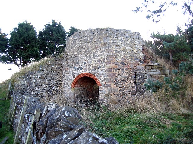
Surrounded by rolling hills and green fields, Dunstan offers stunning views of the Northumberland countryside. The village is characterized by its traditional stone-built houses, many of which are centuries old, adding to the area's charm and historical appeal. The local architecture is a blend of different styles, with influences from the medieval and Georgian periods.
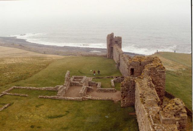
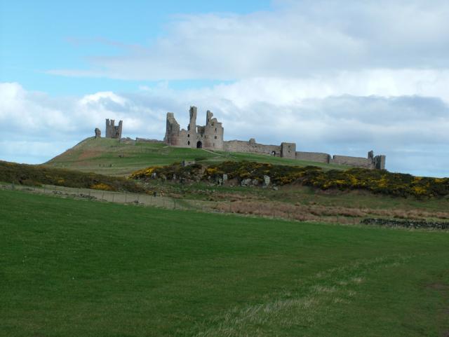
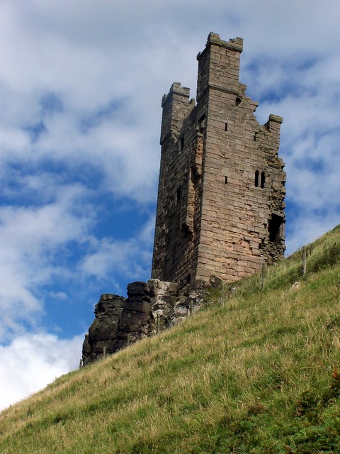
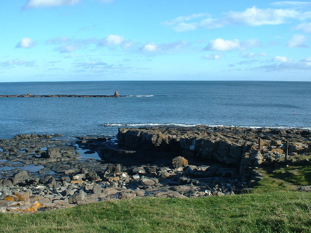
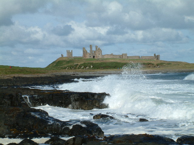
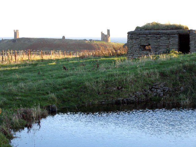
Dunstan is renowned for its proximity to the Northumberland coastline, which boasts beautiful sandy beaches and rugged cliffs. The nearby Dunstanburgh Castle, a 14th-century fortress ruin, is a popular attraction for both locals and tourists. The castle's imposing structure and historical significance make it a must-visit site in the area.
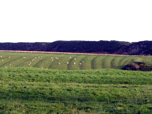
The village is also known for its agricultural heritage, with farming playing a significant role in the local economy. The surrounding fields are mainly used for grazing livestock and cultivating crops.
Despite its small size, Dunstan offers a range of amenities to its residents and visitors. These include a village hall, a pub, and a hotel, providing essential services and a sense of community.
Overall, Dunstan offers a tranquil and picturesque setting, making it an ideal destination for nature lovers, history enthusiasts, and those seeking a peaceful retreat in the heart of Northumberland.
If you have any feedback on the listing, please let us know in the comments section below.
Dunstan Images
Images are sourced within 2km of 55.470991/-1.610041 or Grid Reference NU2419. Thanks to Geograph Open Source API. All images are credited.


Dunstan is located at Grid Ref: NU2419 (Lat: 55.470991, Lng: -1.610041)
Unitary Authority: Northumberland
Police Authority: Northumbria
What 3 Words
///dads.tastings.gilding. Near Embleton, Northumberland
Nearby Locations
Related Wikis

Craster Tower
Craster Tower is an 18th-century Georgian mansion incorporating a 14th-century pele tower situated near the fishing village of Craster, Northumberland...
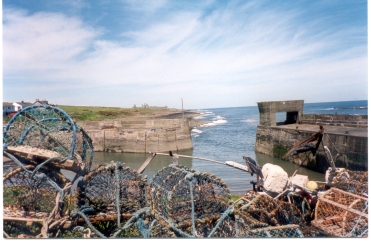
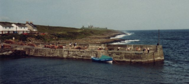
Craster
Craster is a small fishing village on the Northumberland coast of England, eight miles (13 km) from Alnwick. The next village to the north is Embleton...
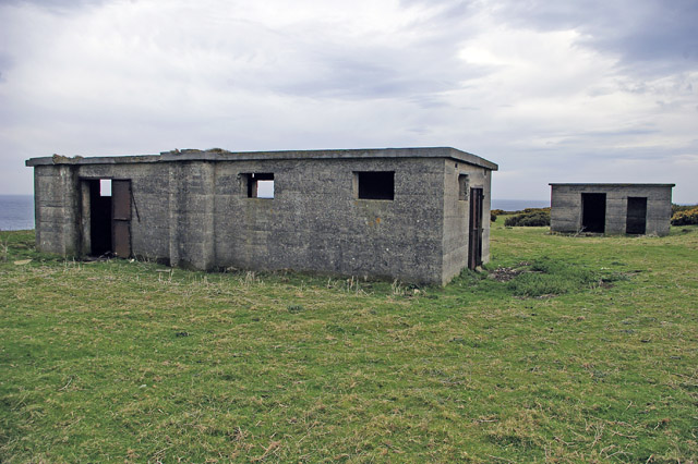
Craster radar station
Craster radar station (also known as RAF Craster), was a Chain Home Low (later a Chain Home Extra Low) Second World War radar site at Craster in Northumberland...
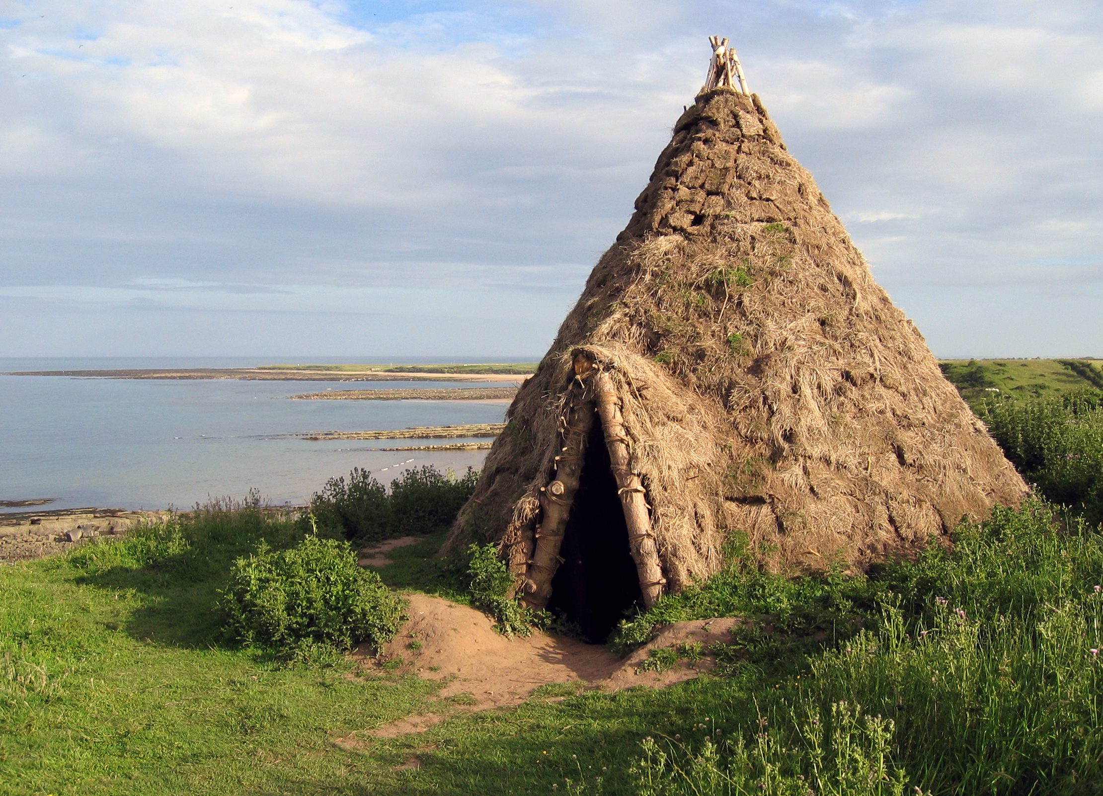
Howick house
The Howick house is a Mesolithic site located in Northumberland, England. It was found when an amateur archaeologist noticed flint tools eroding out of...

Howick Hall
Howick Hall, a Grade II* listed building in the village of Howick, Northumberland, England, is the ancestral seat of the Earls Grey. It was the home of...
Howick, Northumberland
Howick ( HOH-ik) is a village and former civil parish, now in the parish of Longhoughton, in Northumberland, England, between Boulmer and Craster. It is...
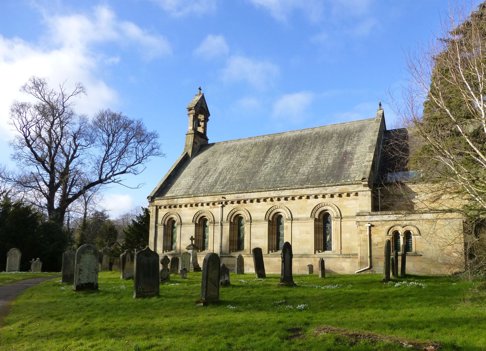
St Michael and All Angels Church (Howick, Northumberland)
St Michael and All Angels Church is a Church of England parish church located within the grounds of the gardens of Howick Hall in the village of Howick...

Dunstanburgh Castle
Dunstanburgh Castle is a 14th-century fortification on the coast of Northumberland in northern England, between the villages of Craster and Embleton. The...
Nearby Amenities
Located within 500m of 55.470991,-1.610041Have you been to Dunstan?
Leave your review of Dunstan below (or comments, questions and feedback).