Coal Pit Wood

Wood, Forest in Yorkshire Harrogate

England

Coal Pit Wood

The way to Woodhouse Farm Caravan Park
The way to Woodhouse Farm Caravan Park Credit: Ian S

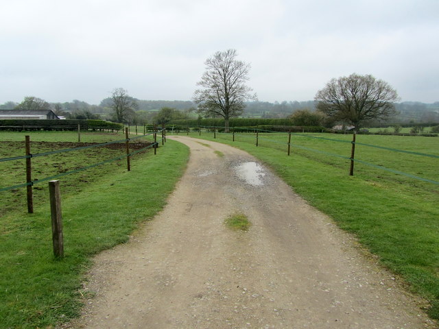
Coal Pit Wood is a picturesque woodland located in the county of Yorkshire, England. Covering an area of approximately 50 acres, it is nestled in the rolling hills of the Yorkshire countryside, just a few miles away from the charming village of Hinderwell.

The woodland derives its name from its historical use as a coal mining site during the 19th century. Today, however, it has been transformed into a thriving natural habitat, home to a diverse range of flora and fauna. The wood features a mix of broadleaf trees, including oak, birch, and beech, which create a dense and lush canopy, providing ample shade during the summer months.

Coal Pit Wood is a popular destination for nature enthusiasts and hikers, who are drawn to its tranquil atmosphere and scenic beauty. The wood boasts a network of well-maintained footpaths, allowing visitors to explore its enchanting surroundings. Along the winding trails, one can discover a variety of wildflowers, ferns, and mosses, as well as listen to the melodious songs of numerous bird species, such as blackbirds, thrushes, and woodpeckers.

The woodland also plays an important role in preserving local biodiversity, providing a habitat for many woodland creatures, including squirrels, rabbits, and the occasional deer. It is not uncommon to spot these animals foraging amidst the undergrowth or darting between the trees.

With its rich history, natural beauty, and diverse wildlife, Coal Pit Wood is a cherished gem in the Yorkshire countryside, offering visitors a peaceful retreat and an opportunity to connect with nature.

If you have any feedback on the listing, please let us know in the comments section below.

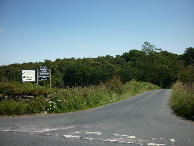
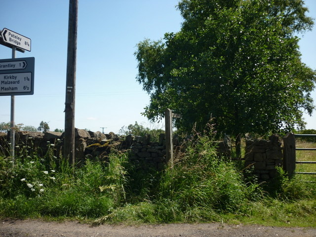
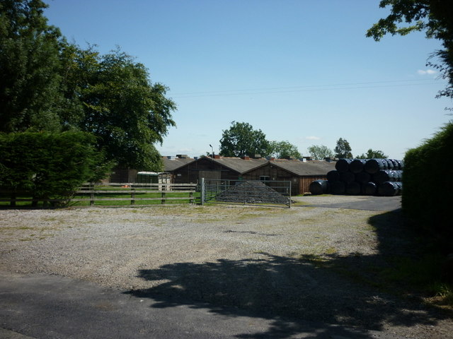
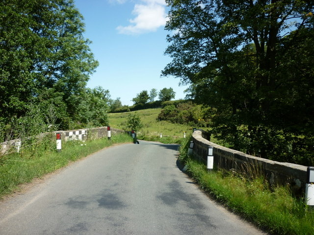
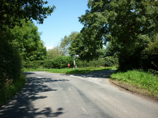
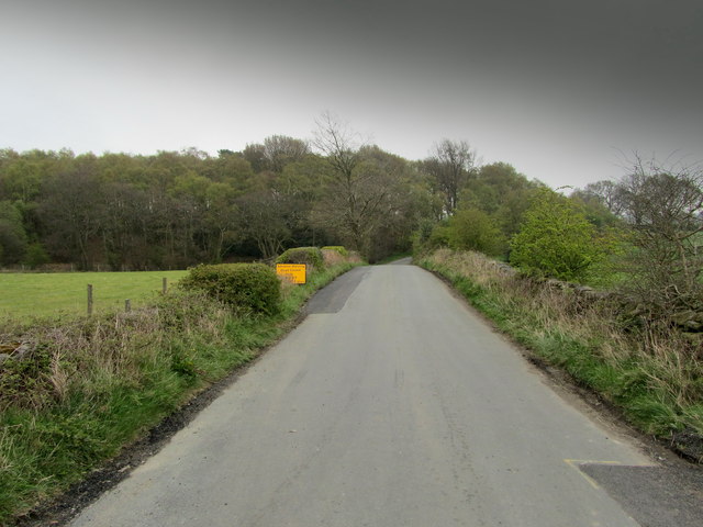
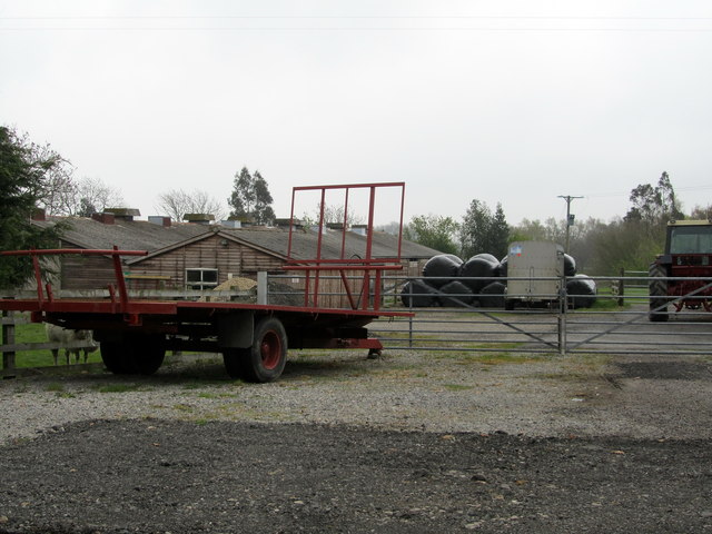
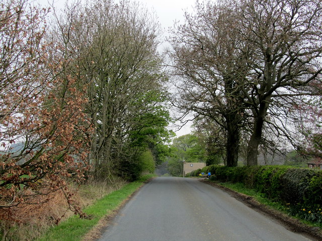
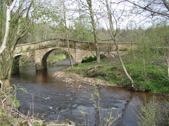
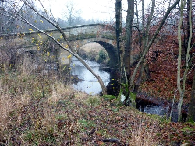
Coal Pit Wood Images

Images are sourced within 2km of 54.141456/-1.6235925 or Grid Reference SE2471. Thanks to Geograph Open Source API. All images are credited.

The way to Woodhouse Farm Caravan Park
A footpath towards Woodhouse Farm
Five Gates Farm
Five Gates Farm
A bridge over the River Laver
Gate Bridge Road joins Warren Lane
Temporarily Closed Road to Winksley The lane leading from Gate Bridge Road to Winksley is closed, causing a diversion of around an extra mile - fortunately this is only temporary.
Temporarily Closed Road to Winksley
The lane leading from Gate Bridge Road to Winksley is closed, causing a diversion of around an extra mile - fortunately this is only temporary.
Entrance to Five Gates Farm Entrance as seen from Gate Bridge Road.
Entrance to Five Gates Farm
Entrance as seen from Gate Bridge Road.
Gate Bridge Road On the road between Grantley and Kirkby Malzeard.
Gate Bridge Road
On the road between Grantley and Kirkby Malzeard.
Entrance to Gate Bridge Farm This particular access lane does not appear on the map, so I assume this is a recent development.
Entrance to Gate Bridge Farm
This particular access lane does not appear on the map, so I assume this is a recent development.
Windy Ridge Farm Farmhouse and buildings as seen from Warren Lane.
Windy Ridge Farm
Farmhouse and buildings as seen from Warren Lane.
Woodhouse Bridge This old stone bridge is a route over the river Laver from Fountains to Winksley or Galphay. Entering Galphay woods and in turn leading to Brathwaite Hall and Kirkby Malzeard. Lovely quiet place to have lunch and listen to the birds etc.
Woodhouse Bridge
This old stone bridge is a route over the river Laver from Fountains to Winksley or Galphay. Entering Galphay woods and in turn leading to Brathwaite Hall and Kirkby Malzeard. Lovely quiet place to have lunch and listen to the birds etc.
Old Disused house An old disused house near to Winksley. The house is basically falling down and certainly not in use today.Just off the path from Galphay Woods to Winksley
Old Disused house
An old disused house near to Winksley. The house is basically falling down and certainly not in use today.Just off the path from Galphay Woods to Winksley
Lake at Braithwaite Hall Ornamental Lake in front of the 16th Century Braithwaite Hall which is passed on the Aislabie Walk.
Lake at Braithwaite Hall
Ornamental Lake in front of the 16th Century Braithwaite Hall which is passed on the Aislabie Walk.
Woodhouse Bridge On the route of the Aislabie Walk long distance footpath
Woodhouse Bridge
On the route of the Aislabie Walk long distance footpath
Winksley, St Cuthbert and St Oswald church The benchmark is cut into the 2nd course of stone at the rear of the church.
Winksley, St Cuthbert and St Oswald church
The benchmark is cut into the 2nd course of stone at the rear of the church.
Winksley, St Cuthbert and St Oswald There is a benchmark cut into the 2nd course of stone at the rear of the church, on the buttress to the left of the furthest left window.
Winksley, St Cuthbert and St Oswald
There is a benchmark cut into the 2nd course of stone at the rear of the church, on the buttress to the left of the furthest left window.
Winksley, Gate Bridge Road The old barn is on the west side of Gate Bridge Road. There is a benchmark cut into a left cornerstone.
Winksley, Gate Bridge Road
The old barn is on the west side of Gate Bridge Road. There is a benchmark cut into a left cornerstone.
Winksley, Gate Bridge Road The old barn is on the west side of Gate Bridge Road. There is a benchmark cut into a left cornerstone.
Winksley, Gate Bridge Road
The old barn is on the west side of Gate Bridge Road. There is a benchmark cut into a left cornerstone.
Show me another place!

Coal Pit Wood is located at Grid Ref: SE2471 (Lat: 54.141456, Lng: -1.6235925)

Division: West Riding

Administrative County: North Yorkshire

District: Harrogate

Police Authority: North Yorkshire

What 3 Words

///presuming.multiple.residual. Near Ripon, North Yorkshire

Nearby Locations

Coal Pit Wood Winksley

Related Wikis

Winksley

Winksley is a small village and civil parish in the district of Harrogate, North Yorkshire, England. It is situated west of Ripon, and is on the River...

Galphay

Galphay (traditionally pronounced [ˈgɔ:fə] GAW-fə) is a village in North Yorkshire, England. It is situated in the Nidderdale Area of Outstanding Natural...

Laverton, North Yorkshire

Laverton is a village and civil parish in the Harrogate district of North Yorkshire, England, about 7 miles (11 km) west of Ripon. The population of this...

Grantley, North Yorkshire

Grantley is a village (also known as High Grantley) and civil parish in North Yorkshire, England. It lies 5 miles (8 km) west of Ripon. The parish also...

Nearby Amenities

Located within 500m of 54.141456,-1.6235925
Building: yes
Lat/Long: 54.1427929/-1.6221021
Building: yes
Lat/Long: 54.1427551/-1.6259644
The data included in this document is from www.openstreetmap.org. The data is made available under ODbL.

Have you been to Coal Pit Wood?

Leave your review of Coal Pit Wood below (or comments, questions and feedback).