Thompson's Wood
Wood, Forest in Derbyshire South Derbyshire
England
Thompson's Wood

Thompson's Wood is a picturesque woodland located in Derbyshire, England. It covers an area of approximately 100 acres and is known for its diverse flora and fauna. The wood is privately owned but is open to the public, offering a serene and tranquil retreat for nature enthusiasts and hikers.
The woodland is predominantly made up of native broadleaf trees, including oak, birch, and beech. These trees create a dense canopy, providing shade and shelter for a variety of wildlife species. Walking through Thompson's Wood, visitors can expect to encounter an array of bird species, such as woodpeckers, thrushes, and owls. Squirrels, deer, and foxes are also frequently spotted, adding to the woodland's natural charm.
There are several well-maintained trails crisscrossing the wood, allowing visitors to explore its beauty at their own pace. These trails are suitable for all levels of fitness and offer stunning views of the surrounding countryside. Additionally, there are designated picnic areas and benches strategically placed throughout the wood, providing opportunities for visitors to relax and soak in the tranquil surroundings.
With its rich biodiversity and peaceful atmosphere, Thompson's Wood offers a unique opportunity to connect with nature and escape the hustle and bustle of daily life. Whether it's a leisurely stroll, a family picnic, or birdwatching, this woodland is a haven for those seeking a peaceful and immersive natural experience.
If you have any feedback on the listing, please let us know in the comments section below.
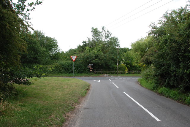
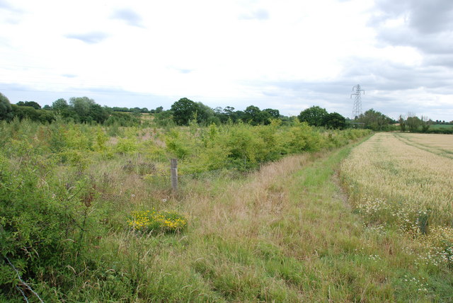
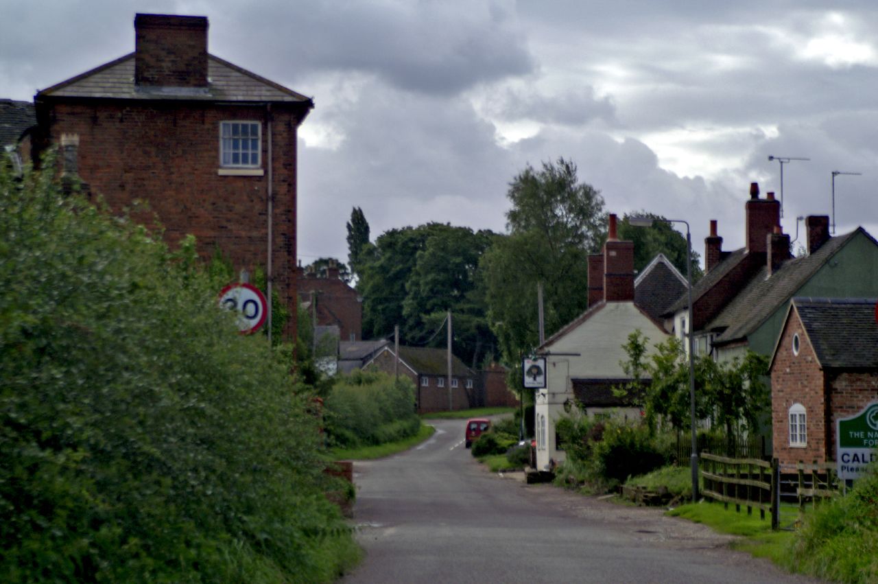
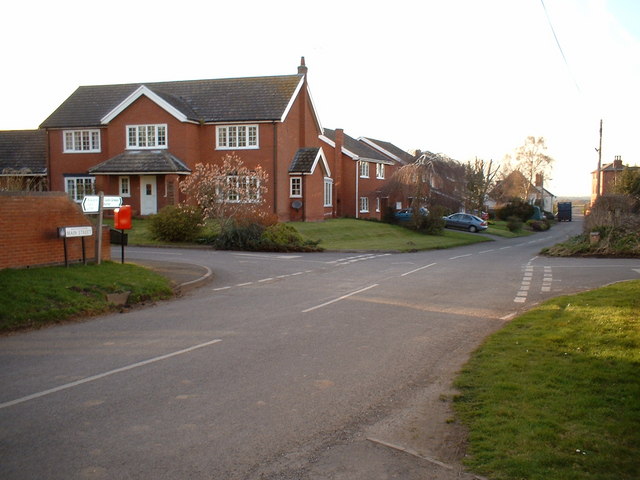
Thompson's Wood Images
Images are sourced within 2km of 52.742122/-1.6391889 or Grid Reference SK2416. Thanks to Geograph Open Source API. All images are credited.


Thompson's Wood is located at Grid Ref: SK2416 (Lat: 52.742122, Lng: -1.6391889)
Administrative County: Derbyshire
District: South Derbyshire
Police Authority: Derbyshire
What 3 Words
///regularly.decorate.sticking. Near Barton under Needwood, Staffordshire
Nearby Locations
Related Wikis

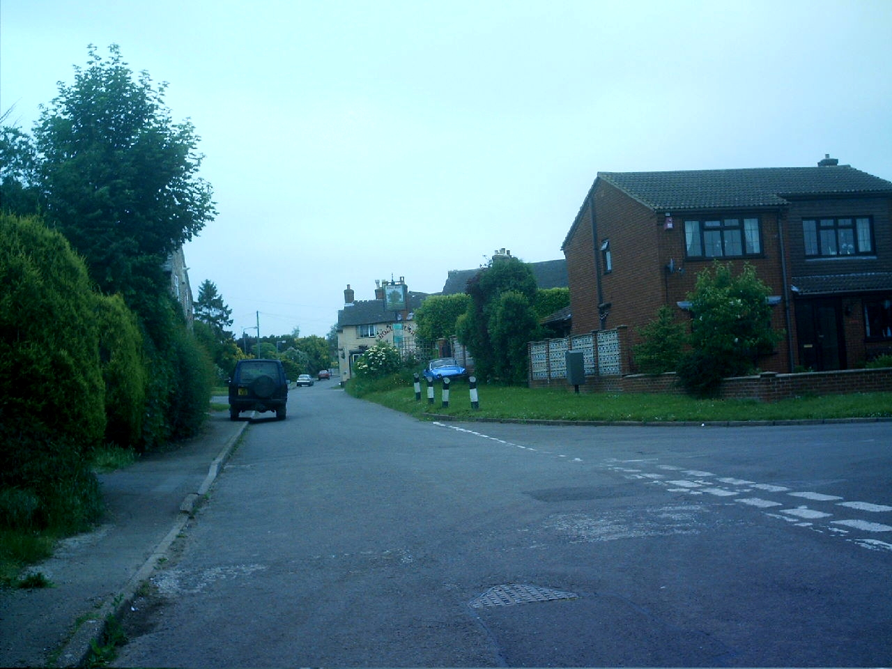
Rosliston
Rosliston is a small village and civil parish in South Derbyshire, England close to the county boundaries of Leicestershire and Staffordshire. The civil...
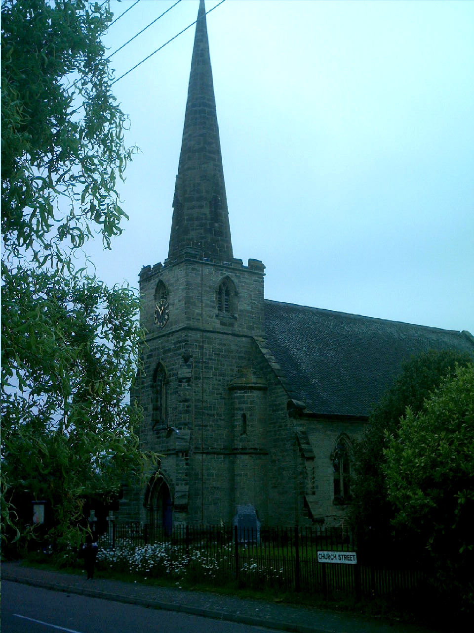
St Mary's Church, Rosliston
St Mary's Church, Rosliston is a Grade II* listed parish church in the Church of England in Rosliston, Derbyshire. == History == The church dates from...
Caldwell, Derbyshire
Caldwell is a small village in south Derbyshire, England within the National Forest and in the parish of Cauldwell. At the 2011 census, the population...
Cauldwell, Derbyshire
Cauldwell (pronounced "Cordal") is a small village and civil parish in South Derbyshire. Its streets are named Main Street, Church Lane and Sandy Lane...
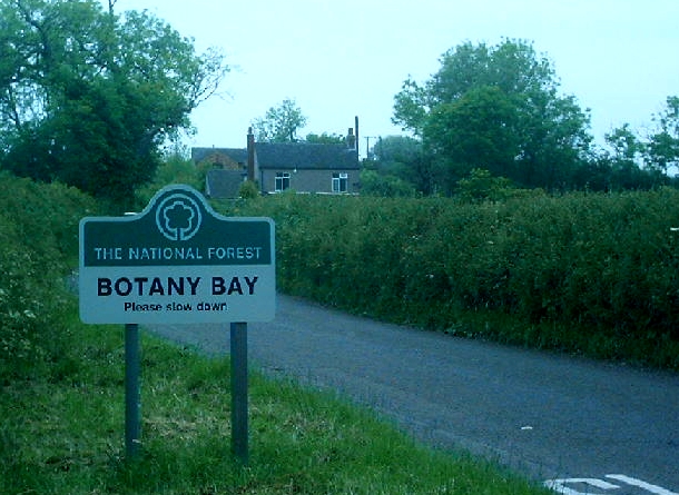
Botany Bay, Derbyshire
Botany Bay is a small hamlet in south Derbyshire near Linton and Coton in the Elms in the National Forest (grid reference SK259154). The appropriate civil...
Coton in the Elms
Coton in the Elms is a village and parish in the English county of Derbyshire. At 70 miles (110 km) from the coast, it is one of the furthest places in...
Linton, Derbyshire
Linton is a settlement and civil parish in South Derbyshire, England, 5 miles south east of Burton-on-Trent. The population of the civil parish taken at...

Catton, Derbyshire
Catton is a civil parish within the South Derbyshire district, which is in the county of Derbyshire, England. Overwhelmingly rural, its population is reported...
Nearby Amenities
Located within 500m of 52.742122,-1.6391889Have you been to Thompson's Wood?
Leave your review of Thompson's Wood below (or comments, questions and feedback).