Betts Wood
Wood, Forest in Derbyshire South Derbyshire
England
Betts Wood

Betts Wood is a picturesque woodland located in Derbyshire, England. Covering an area of approximately [specify size], it is a popular destination for nature enthusiasts and those looking to escape the hustle and bustle of city life. The wood is situated in a rural area, surrounded by rolling hills and charming countryside.
Betts Wood is primarily composed of deciduous trees, including oak, beech, and birch. These trees provide a lush canopy, creating a serene and tranquil atmosphere. The forest floor is carpeted with a variety of flora, such as bluebells, primroses, and ferns, adding to the natural beauty of the woodland.
The wood is intersected by several meandering footpaths, allowing visitors to explore its enchanting surroundings. These well-maintained trails provide opportunities for leisurely strolls, birdwatching, and photography. Wildlife is abundant in Betts Wood, with sightings of deer, foxes, and various bird species being common.
For those interested in history, Betts Wood has a rich past. It is believed to have been part of a larger ancient forest that covered the region centuries ago. Evidence of human activity, including remnants of old settlements and boundary markers, can also be found within the wood, providing a glimpse into the area's past.
Visitors to Betts Wood will find a tranquil oasis where they can immerse themselves in nature's beauty. With its diverse flora and fauna, as well as its historical significance, the wood offers a rewarding experience for individuals seeking solace in the great outdoors.
If you have any feedback on the listing, please let us know in the comments section below.
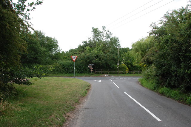
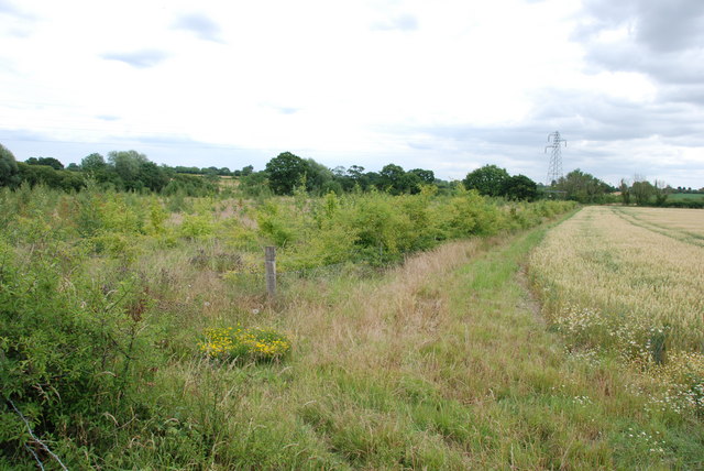
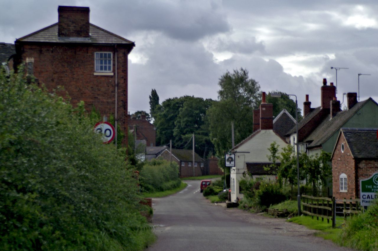
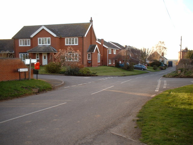
Betts Wood Images
Images are sourced within 2km of 52.743105/-1.6431358 or Grid Reference SK2416. Thanks to Geograph Open Source API. All images are credited.


Betts Wood is located at Grid Ref: SK2416 (Lat: 52.743105, Lng: -1.6431358)
Administrative County: Derbyshire
District: South Derbyshire
Police Authority: Derbyshire
What 3 Words
///squaring.suggested.tops. Near Barton under Needwood, Staffordshire
Nearby Locations
Related Wikis

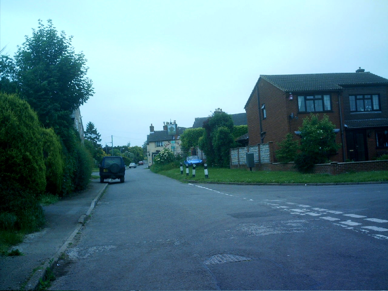
Rosliston
Rosliston is a small village and civil parish in South Derbyshire, England close to the county boundaries of Leicestershire and Staffordshire. The civil...
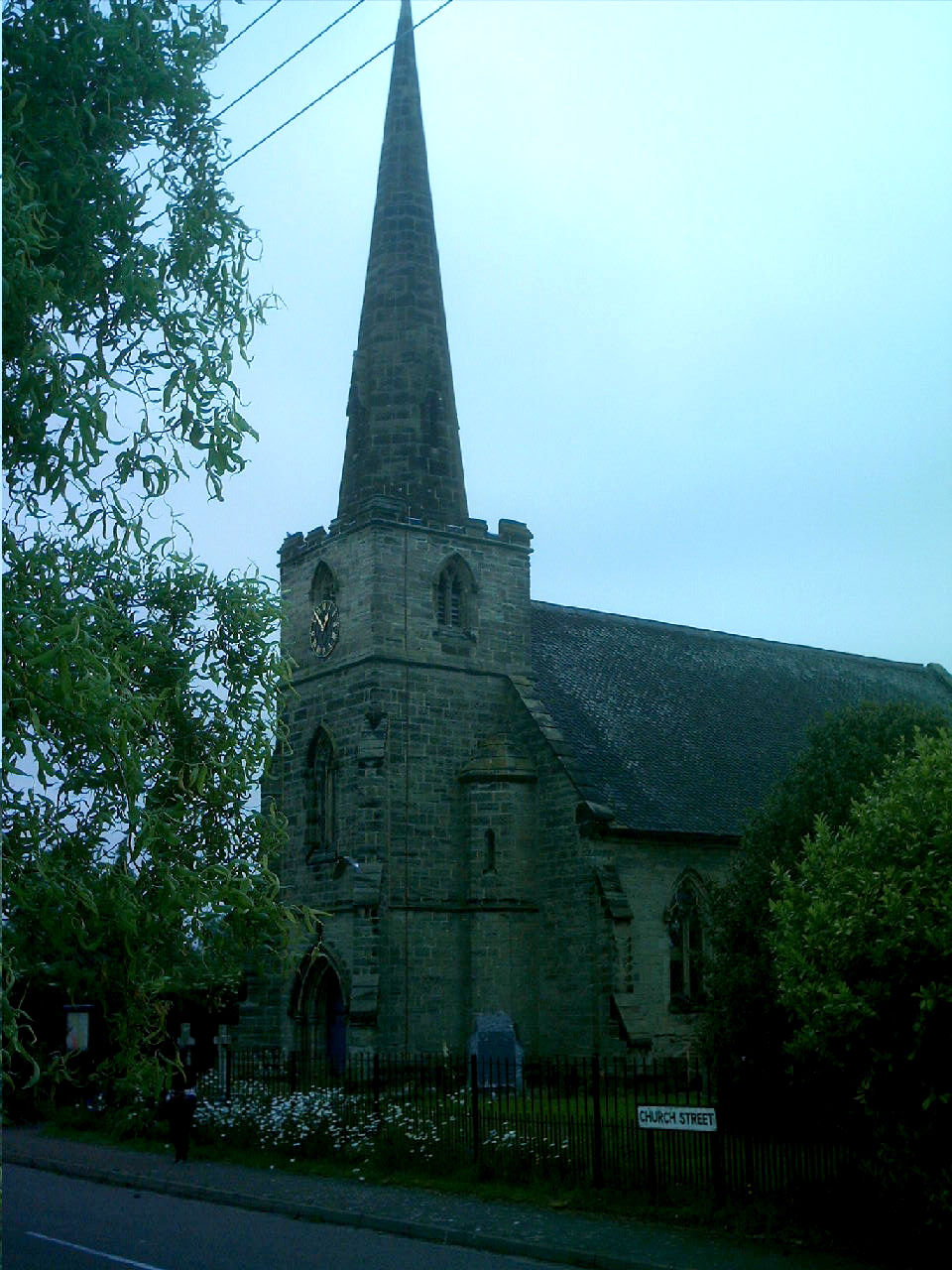
St Mary's Church, Rosliston
St Mary's Church, Rosliston is a Grade II* listed parish church in the Church of England in Rosliston, Derbyshire. == History == The church dates from...
Caldwell, Derbyshire
Caldwell is a small village in south Derbyshire, England within the National Forest and in the parish of Cauldwell. At the 2011 census, the population...
Cauldwell, Derbyshire
Cauldwell (pronounced "Cordal") is a small village and civil parish in South Derbyshire. Its streets are named Main Street, Church Lane and Sandy Lane...
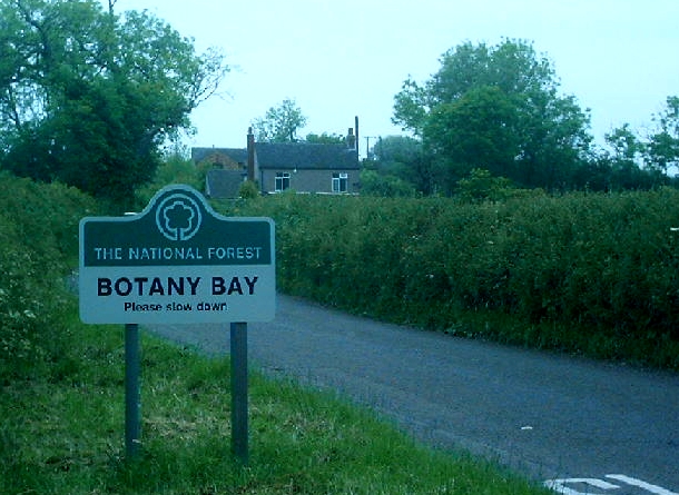
Botany Bay, Derbyshire
Botany Bay is a small hamlet in south Derbyshire near Linton and Coton in the Elms in the National Forest (grid reference SK259154). The appropriate civil...
Coton in the Elms
Coton in the Elms is a village and parish in the English county of Derbyshire. At 70 miles (110 km) from the coast, it is one of the furthest places in...

Catton, Derbyshire
Catton is a civil parish within the South Derbyshire district, which is in the county of Derbyshire, England. Overwhelmingly rural, its population is reported...
Linton, Derbyshire
Linton is a settlement and civil parish in South Derbyshire, England, 5 miles south east of Burton-on-Trent. The population of the civil parish taken at...
Nearby Amenities
Located within 500m of 52.743105,-1.6431358Have you been to Betts Wood?
Leave your review of Betts Wood below (or comments, questions and feedback).