Ashantee Plantation

Wood, Forest in Yorkshire Hambleton

England

Ashantee Plantation

Old Boundary Marker between High Burton and Halfpenny Houses Parish Boundary Marker set in a drystone wall on the east side of the road between High Burton and Halfpenny Houses. On the boundary of Burton on Yore and Clifton on Yore parishes. Inscribed END / BURTON / ROAD. See also <a title="https://www.geograph.org.uk/photo/6804459" href="https://www.geograph.org.uk/photo/6804459">Link</a>.

Milestone Society National ID: YN_BURCLI01pb
Old Boundary Marker between High Burton and Halfpenny Houses Credit: H Jones

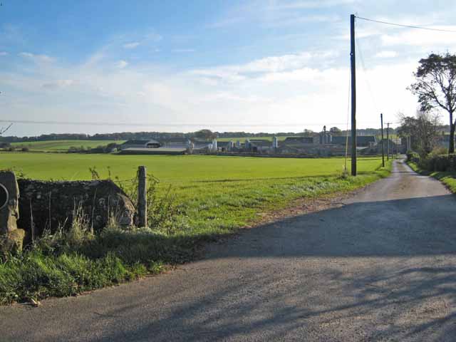
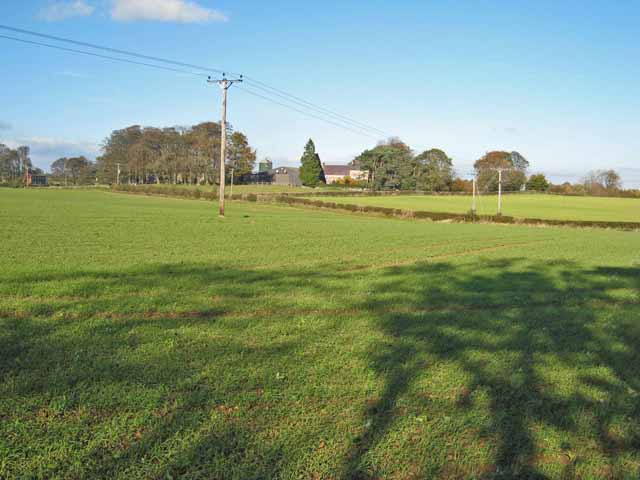
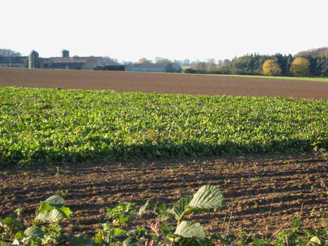
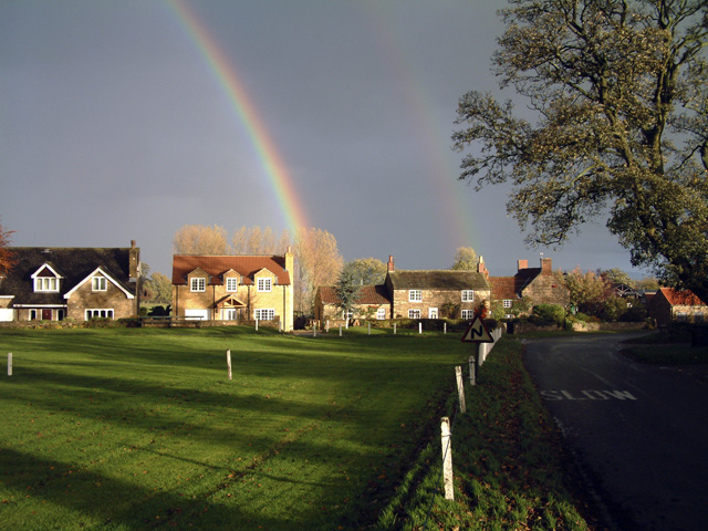
Ashantee Plantation is a picturesque estate located in the rural countryside of Yorkshire, England. Nestled within a dense forest, the plantation spans across a vast area, boasting its natural beauty and serene environment. With its name derived from the Ashantee tree, which is abundant in the area, the plantation presents a remarkable sight of lush greenery and towering trees.

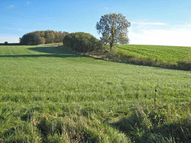
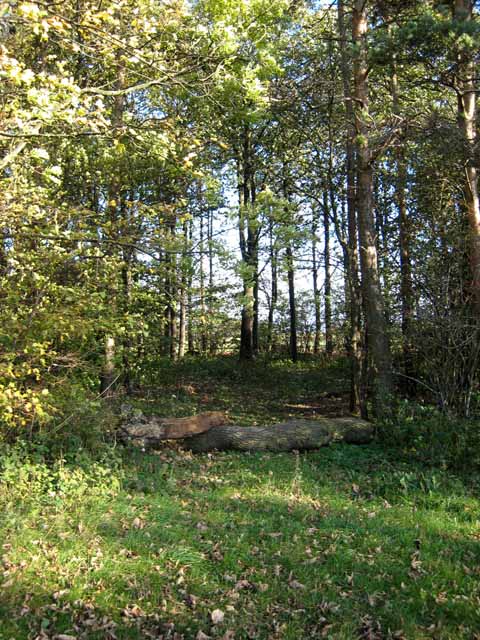
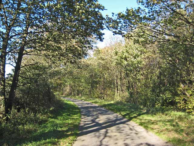
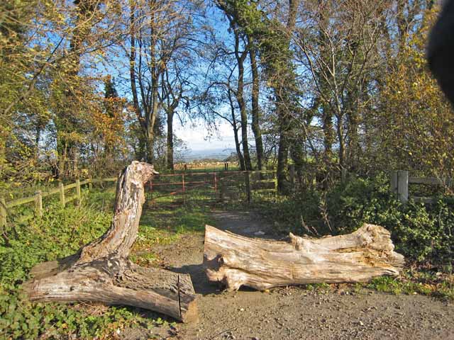
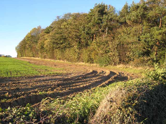
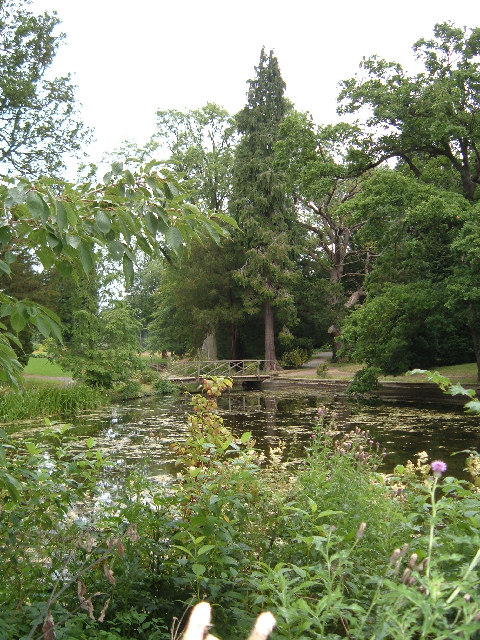
The plantation is renowned for its well-preserved woodlands, which are home to a diverse range of flora and fauna. The forest is primarily composed of deciduous trees such as oak, beech, and ash, creating a canopy that provides shade and shelter to the various wildlife species that inhabit the area. Visitors can explore the plantation's numerous trails, meandering through the enchanting woods, and immerse themselves in the tranquility of nature.

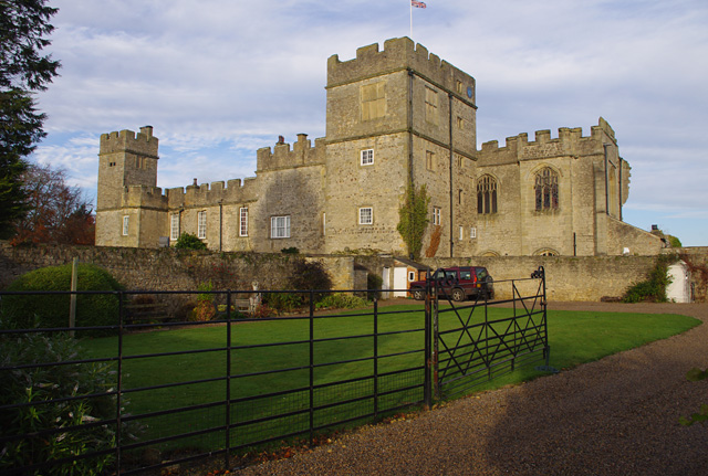
Aside from its natural wonders, Ashantee Plantation also features a charming manor house that dates back to the 18th century. The manor, built in a classic Georgian style, stands as a testament to the plantation's rich history and architectural heritage. Visitors can marvel at the elegant façade, adorned with intricate detailing and a grand entrance.

The plantation offers a range of activities for visitors to enjoy. Nature enthusiasts can partake in guided tours, where they can learn about the various plant and animal species that call the plantation home. The estate also hosts seasonal events, such as harvest festivals and Christmas markets, providing a delightful experience for all ages.

In conclusion, Ashantee Plantation in Yorkshire is a captivating destination for those seeking a peaceful retreat in the midst of nature. Its sprawling woodlands, historic manor house, and array of activities make it a must-visit location for both locals and tourists alike.

If you have any feedback on the listing, please let us know in the comments section below.

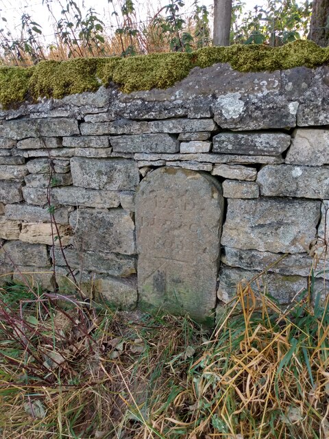
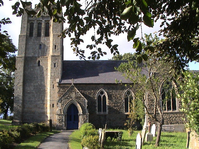
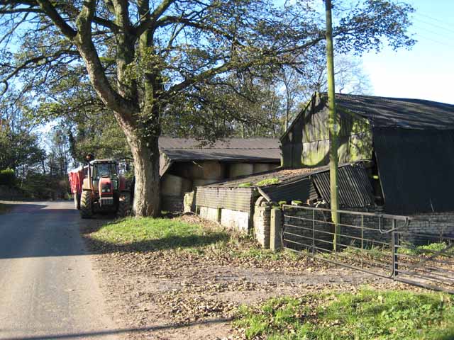
Ashantee Plantation Images

Images are sourced within 2km of 54.250494/-1.6302902 or Grid Reference SE2483. Thanks to Geograph Open Source API. All images are credited.

Old Boundary Marker between High Burton and Halfpenny Houses Parish Boundary Marker set in a drystone wall on the east side of the road between High Burton and Halfpenny Houses. On the boundary of Burton on Yore and Clifton on Yore parishes. Inscribed END / BURTON / ROAD. See also <a title="https://www.geograph.org.uk/photo/6804459" href="https://www.geograph.org.uk/photo/6804459">Link</a>.

Milestone Society National ID: YN_BURCLI01pb
Old Boundary Marker between High Burton and Halfpenny Houses
Parish Boundary Marker set in a drystone wall on the east side of the road between High Burton and Halfpenny Houses. On the boundary of Burton on Yore and Clifton on Yore parishes. Inscribed END / BURTON / ROAD. See also Link. Milestone Society National ID: YN_BURCLI01pb
Thornton Watlass Church
High Burton, near Masham
Fields near Masham
Fields near Masham
View of Wensleydale The view from a road to the north of Masham looking up into the entrance to Wensleydale.
View of Wensleydale
The view from a road to the north of Masham looking up into the entrance to Wensleydale.
Eastern driveway to Clifton Castle There may have been a castle here once, dating back to the 14th century or earlier. The present "castle" was built in 1806. <span class="nowrap"><a title="http://www.gatehouse-gazetteer.info/English%20sites/2054.html" rel="nofollow ugc noopener" href="http://www.gatehouse-gazetteer.info/English%20sites/2054.html">Link</a><img style="margin-left:2px;" alt="External link" title="External link - shift click to open in new window" src="https://s1.geograph.org.uk/img/external.png" width="10" height="10"/></span>
Eastern driveway to Clifton Castle
There may have been a castle here once, dating back to the 14th century or earlier. The present "castle" was built in 1806. LinkExternal link
Halfpenny Houses A view across the corner of the Clifton Castle estate towards part of this hamlet.
Halfpenny Houses
A view across the corner of the Clifton Castle estate towards part of this hamlet.
Gebdykes Farm, near Masham
Wood near Watlass Moor
Lane near Watlass Moor
Gap in "the Belt", Snape, Yorkshire The belt is a remarkable broad sinuous shelter belt which appears to have been planted round the south side of the Snape estate in Yorkshire. See also <a href="https://www.geograph.org.uk/photo/274520">SE2582 : "The Belt", Snape, Yorkshire</a>
Gap in "the Belt", Snape, Yorkshire
The belt is a remarkable broad sinuous shelter belt which appears to have been planted round the south side of the Snape estate in Yorkshire. See also SE2582 : "The Belt", Snape, Yorkshire
Snape Lodge Farm
Snape Lodge Farm
Fields at Watlass Moor House Farm
Snape Lawns Farm
Snape Lawns Farm
Field at Snape Lawns Farm
Pasture on the Snape Castle estate
Field with trees on the Snape Castle estate
Show me another place!

Ashantee Plantation is located at Grid Ref: SE2483 (Lat: 54.250494, Lng: -1.6302902)

Division: North Riding

Administrative County: North Yorkshire

District: Hambleton

Police Authority: North Yorkshire

What 3 Words

///haunt.bookshop.soups. Near Masham, North Yorkshire

Related Wikis

Thornton Watlass

Thornton Watlass is a small village and civil parish in North Yorkshire, England. It is located north of Masham and south of Bedale on the eastern slopes...

Snape Castle

Snape Castle is a semi-fortified manor house in the village of Snape, North Yorkshire, England. The castle is 3 miles (5 km) south of Bedale and 19 miles...

Thornton Watlass Hall

Thornton Watlass Hall is a large Grade I listed Georgian country house in Thornton Watlass, North Yorkshire, England, some 3 miles (5 km) north of Masham...

Clifton-on-Yore

Clifton-on-Yore is a civil parish in the Hambleton district of North Yorkshire, England. The population of the parish was estimated at 40 in 2010. The...

Thorp Perrow Arboretum

Thorp Perrow Arboretum is an 85-acre (34 ha) woodland garden arboretum near Bedale in North Yorkshire, England. == History == Thorp is a common place-name...

Snape with Thorp

Snape with Thorp is a civil parish in the Hambleton District of North Yorkshire, England. It comprises the village of Snape and the hamlet of Thorp. The...

Snape, North Yorkshire

Snape is a large village in the civil parish of Snape with Thorp in North Yorkshire, England, located about 3 miles (5 km) south of Bedale and 3 miles...

Mar Field Fen

Mar Field Fen is a Site of Special Scientific Interest, or SSSI, north of Masham, North Yorkshire, England, in a rural area known as Marfield. It is situated...

Nearby Amenities

Located within 500m of 54.250494,-1.6302902
Power: pole
Lat/Long: 54.2485466/-1.6234966
Power: pole
Lat/Long: 54.2479216/-1.6244222
Power: pole
Lat/Long: 54.2473742/-1.6252567
Power: pole
Lat/Long: 54.2467957/-1.6261481
Power: pole
Lat/Long: 54.246366/-1.6332569
Power: pole
Lat/Long: 54.2470511/-1.6335511
Power: pole
Lat/Long: 54.2476642/-1.6346256
Power: pole
Lat/Long: 54.2482347/-1.6357069
Power: pole
Lat/Long: 54.2487371/-1.6369342
The data included in this document is from www.openstreetmap.org. The data is made available under ODbL.

Have you been to Ashantee Plantation?

Leave your review of Ashantee Plantation below (or comments, questions and feedback).