Brookside Wood
Wood, Forest in Derbyshire South Derbyshire
England
Brookside Wood

Brookside Wood, located in Derbyshire, is a pristine forest that offers visitors a serene and enchanting experience. Stretching across an area of approximately 50 acres, this woodland is nestled in the heart of the picturesque Derbyshire Dales, surrounded by rolling hills and idyllic countryside.
The wood is primarily composed of native broadleaf trees, including oak, beech, and birch, which create a rich and diverse ecosystem. The dense canopy provides ample shade, allowing for the growth of a variety of wildflowers, ferns, and mosses on the forest floor. This lush undergrowth attracts a myriad of wildlife, including deer, foxes, and a wide range of bird species, making it a haven for nature enthusiasts and birdwatchers.
A picturesque brook meanders through the wood, adding to its charm and tranquility. The gentle babbling of the water and the sound of birds singing create a peaceful ambiance, making it an ideal spot for relaxation and contemplation.
Visitors can explore the woodland through a network of well-maintained footpaths, which wind their way through the trees, offering stunning views and hidden nooks to discover. The wood is also intersected by a small stream, providing the opportunity for visitors to dip their toes in the cool water on warm summer days.
Brookside Wood is a popular destination for hikers, families, and nature lovers alike, who come to immerse themselves in the natural beauty and tranquility of this enchanting forest. Its accessibility, combined with its breathtaking scenery, makes it a must-visit destination for anyone seeking solace in nature.
If you have any feedback on the listing, please let us know in the comments section below.
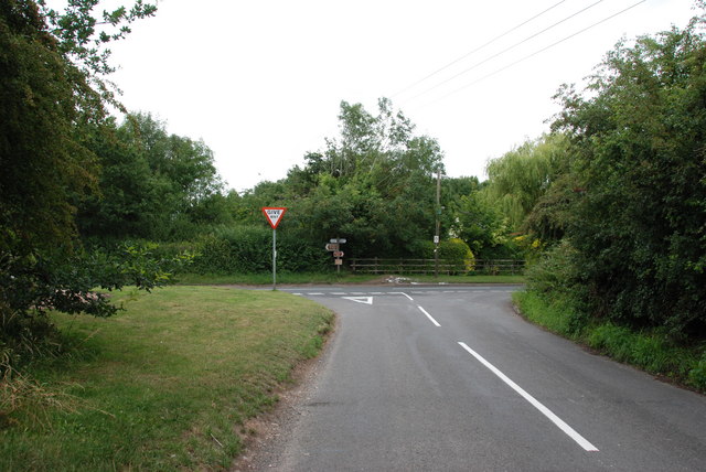
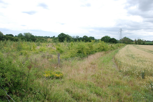
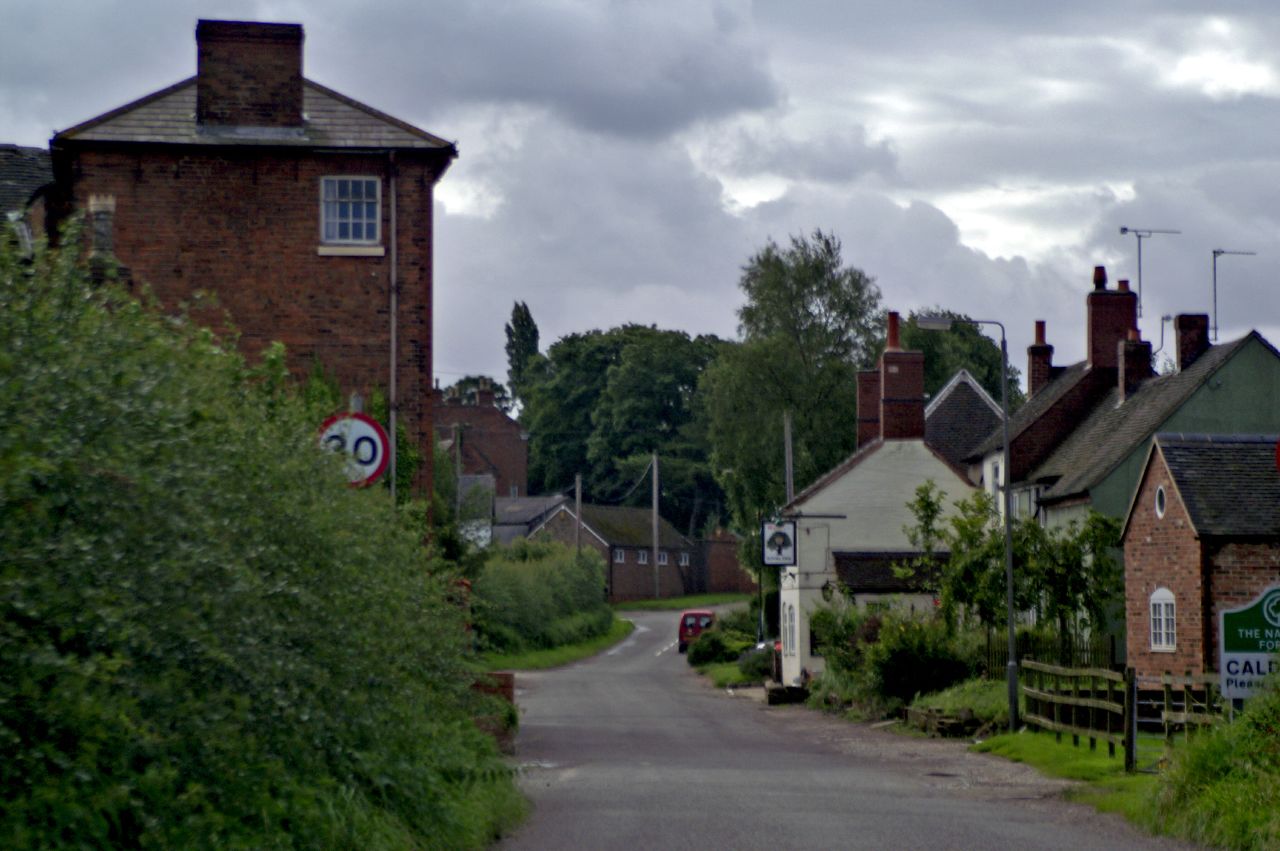
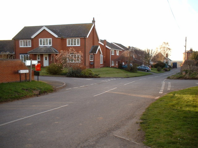
Brookside Wood Images
Images are sourced within 2km of 52.742852/-1.6457449 or Grid Reference SK2416. Thanks to Geograph Open Source API. All images are credited.


Brookside Wood is located at Grid Ref: SK2416 (Lat: 52.742852, Lng: -1.6457449)
Administrative County: Derbyshire
District: South Derbyshire
Police Authority: Derbyshire
What 3 Words
///thumbnail.carriage.reliving. Near Barton under Needwood, Staffordshire
Nearby Locations
Related Wikis

Rosliston
Rosliston is a small village and civil parish in South Derbyshire, England close to the county boundaries of Leicestershire and Staffordshire. The civil...
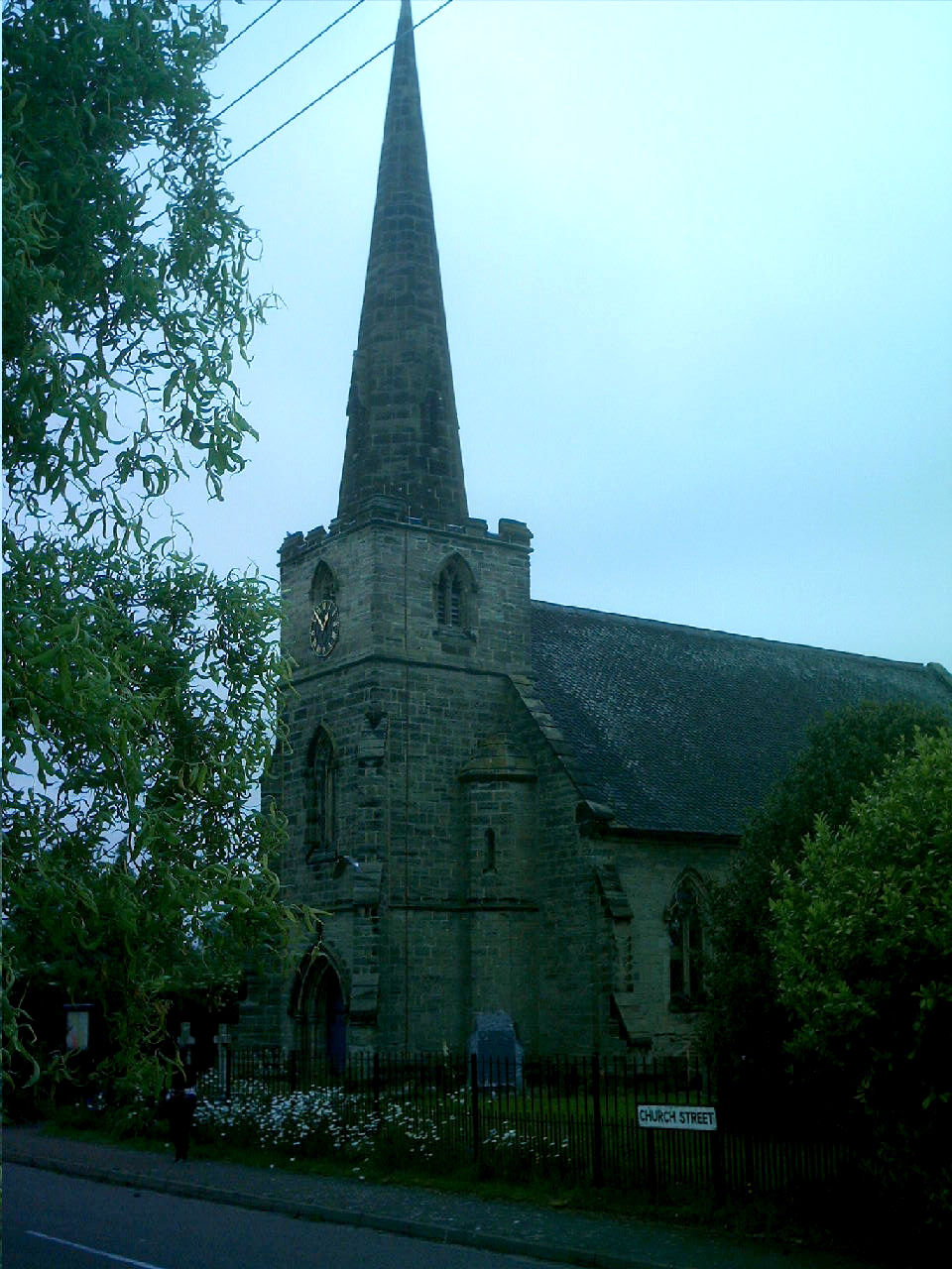
St Mary's Church, Rosliston
St Mary's Church, Rosliston is a Grade II* listed parish church in the Church of England in Rosliston, Derbyshire. == History == The church dates from...
Caldwell, Derbyshire
Caldwell is a small village in south Derbyshire, England within the National Forest and in the parish of Cauldwell. At the 2011 census, the population...
Cauldwell, Derbyshire
Cauldwell (pronounced "Cordal") is a small village and civil parish in South Derbyshire. Its streets are named Main Street, Church Lane and Sandy Lane...
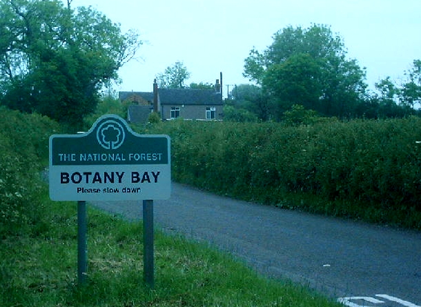
Botany Bay, Derbyshire
Botany Bay is a small hamlet in south Derbyshire near Linton and Coton in the Elms in the National Forest (grid reference SK259154). The appropriate civil...
Coton in the Elms
Coton in the Elms is a village and parish in the English county of Derbyshire. At 70 miles (110 km) from the coast, it is one of the furthest places in...

Catton, Derbyshire
Catton is a civil parish within the South Derbyshire district, which is in the county of Derbyshire, England. Overwhelmingly rural, its population is reported...

Walton-on-Trent
Walton-on-Trent is a village within the civil parish of Walton-upon-Trent, in the National Forest in the South Derbyshire district in Derbyshire, England...
Nearby Amenities
Located within 500m of 52.742852,-1.6457449Have you been to Brookside Wood?
Leave your review of Brookside Wood below (or comments, questions and feedback).