Barry's Pond
Lake, Pool, Pond, Freshwater Marsh in Derbyshire South Derbyshire
England
Barry's Pond

Barry's Pond, located in Derbyshire, is a tranquil freshwater pond nestled amidst picturesque surroundings. This natural water body is often referred to as a pond due to its relatively small size. It covers an area of approximately 1.5 acres and is renowned for its crystal-clear waters that reflect the beauty of the surrounding landscape.
Surrounded by lush greenery and rolling hills, Barry's Pond offers a peaceful retreat for nature enthusiasts and visitors seeking a serene environment. The pond is home to a diverse range of flora and fauna, making it an ideal spot for wildlife observation and birdwatching. Various aquatic plants, such as water lilies and reeds, adorn the edges of the pond, creating a visually appealing spectacle.
The pond also provides a habitat for several species of fish, including trout, perch, and roach, making it a popular destination for anglers. Fishing enthusiasts can enjoy a relaxing day by the water's edge, casting their lines and trying their luck.
Visitors to Barry's Pond can access the water via a small jetty, which also serves as a platform for launching small watercraft such as kayaks or canoes. Exploring the pond by boat offers a unique perspective and allows visitors to fully immerse themselves in the tranquility of the surroundings.
Overall, Barry's Pond is a hidden gem in Derbyshire, offering a peaceful haven for those seeking solace in nature. Its scenic beauty, diverse wildlife, and opportunities for fishing and boating make it a must-visit destination for locals and tourists alike.
If you have any feedback on the listing, please let us know in the comments section below.
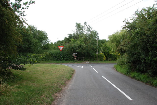
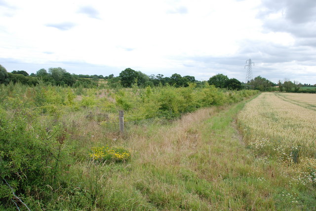
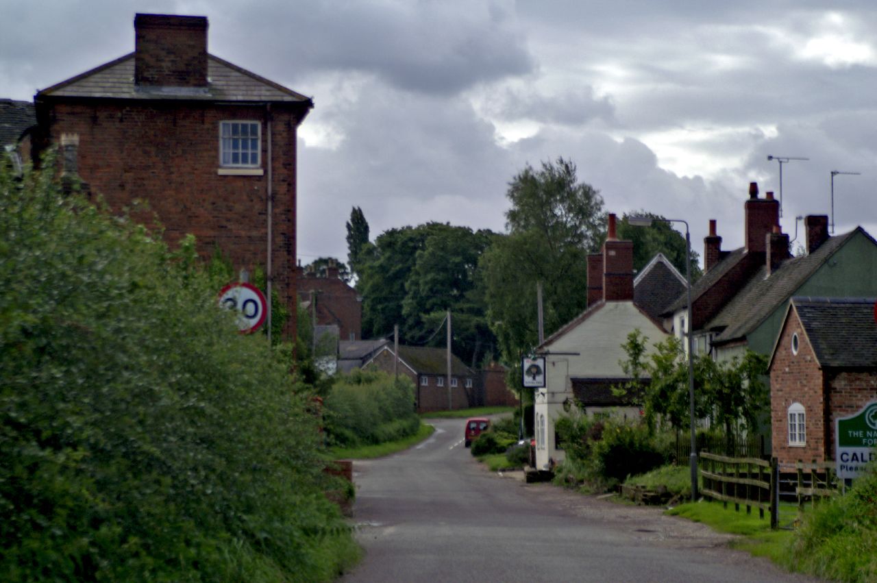
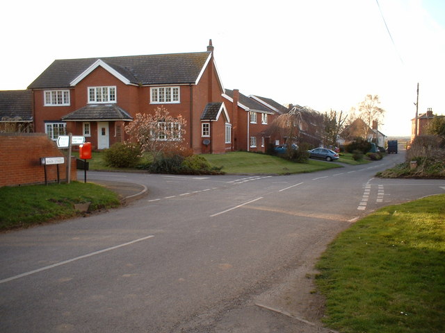
Barry's Pond Images
Images are sourced within 2km of 52.747624/-1.6452174 or Grid Reference SK2416. Thanks to Geograph Open Source API. All images are credited.


Barry's Pond is located at Grid Ref: SK2416 (Lat: 52.747624, Lng: -1.6452174)
Administrative County: Derbyshire
District: South Derbyshire
Police Authority: Derbyshire
What 3 Words
///valley.height.nightfall. Near Barton under Needwood, Staffordshire
Nearby Locations
Related Wikis

Rosliston
Rosliston is a small village and civil parish in South Derbyshire, England close to the county boundaries of Leicestershire and Staffordshire. The civil...
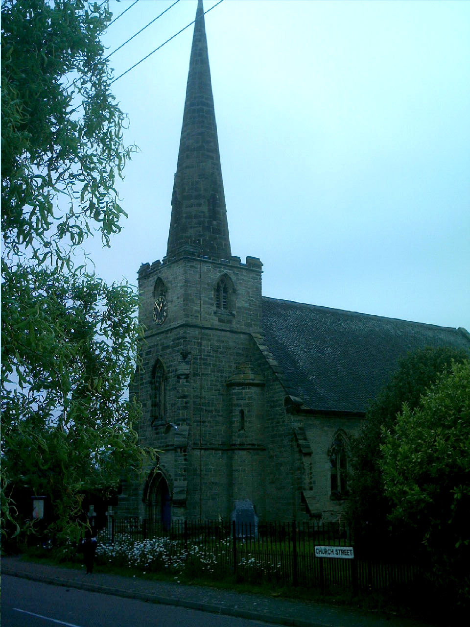
St Mary's Church, Rosliston
St Mary's Church, Rosliston is a Grade II* listed parish church in the Church of England in Rosliston, Derbyshire. == History == The church dates from...
Caldwell, Derbyshire
Caldwell is a small village in south Derbyshire, England within the National Forest and in the parish of Cauldwell. At the 2011 census, the population...
Cauldwell, Derbyshire
Cauldwell (pronounced "Cordal") is a small village and civil parish in South Derbyshire. Its streets are named Main Street, Church Lane and Sandy Lane...
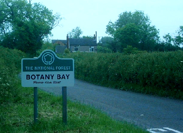
Botany Bay, Derbyshire
Botany Bay is a small hamlet in south Derbyshire near Linton and Coton in the Elms in the National Forest (grid reference SK259154). The appropriate civil...
Coton in the Elms
Coton in the Elms is a village and parish in the English county of Derbyshire. At 70 miles (110 km) from the coast, it is one of the furthest places in...

Walton-on-Trent
Walton-on-Trent is a village within the civil parish of Walton-upon-Trent, in the National Forest in the South Derbyshire district in Derbyshire, England...
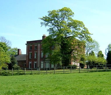
Walton Hall, Walton-on-Trent
Walton Hall is an 18th-century country house situated in the village of Walton on Trent, Derbyshire. It is a Grade II* listed building but is in slow decay...
Nearby Amenities
Located within 500m of 52.747624,-1.6452174Have you been to Barry's Pond?
Leave your review of Barry's Pond below (or comments, questions and feedback).