Choppington Wood

Wood, Forest in Northumberland

England

Choppington Wood

Arable farmland, Bothal Bothal Castle in the background.
Arable farmland, Bothal Credit: Richard Webb

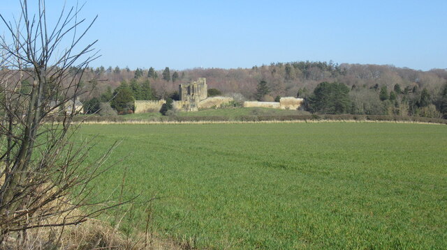
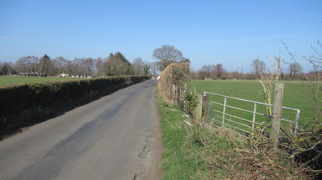
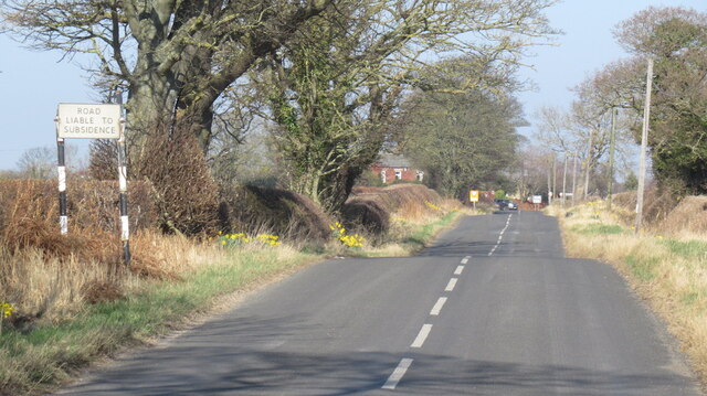
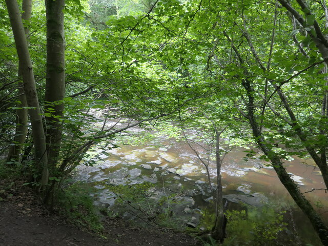
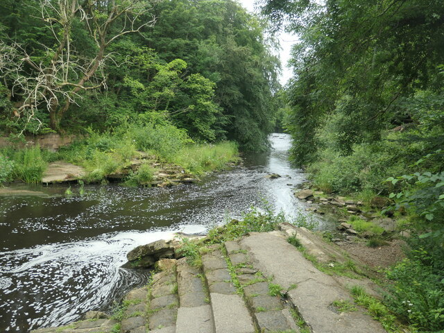
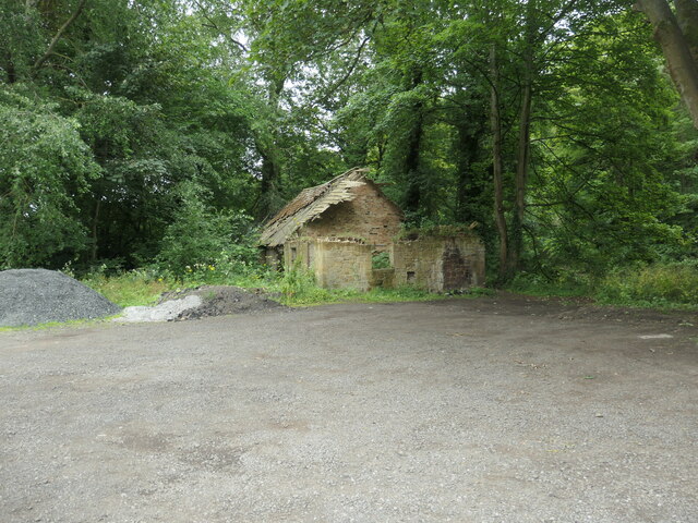
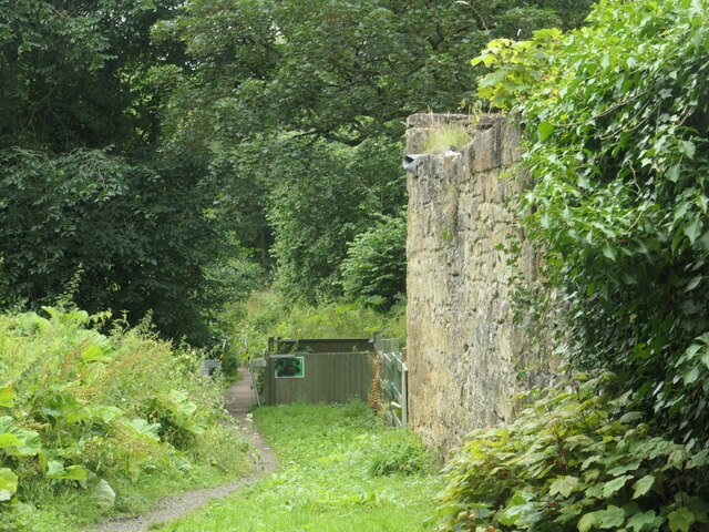
Choppington Wood is a picturesque woodland located in the county of Northumberland, England. Spanning an area of approximately 100 hectares, it is known for its natural beauty and diverse range of flora and fauna. The wood is situated just east of the village of Choppington, near the town of Morpeth.

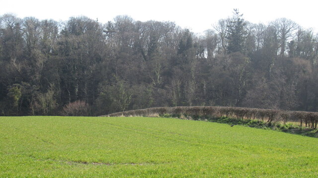
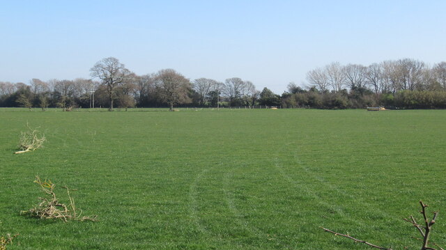
The woodland consists primarily of deciduous trees, such as oak, birch, and beech, which create a vibrant display of colors during the autumn season. The dense canopy provides a haven for many woodland creatures, including deer, badgers, and a variety of bird species. It is also home to several rare and protected species, including the red squirrel.

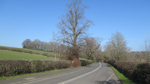
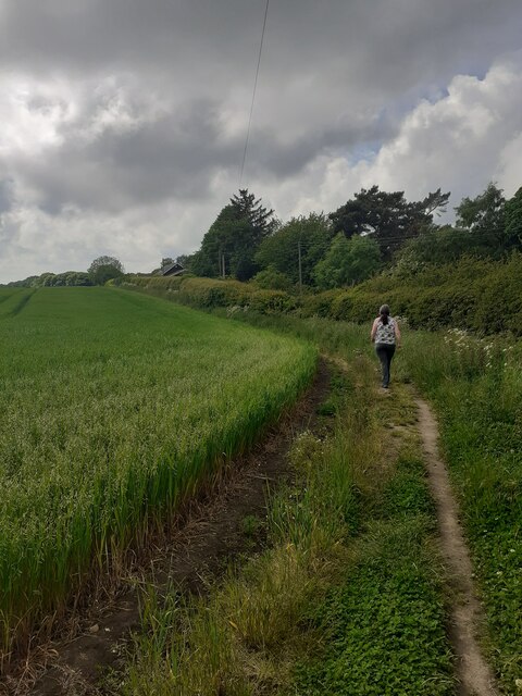
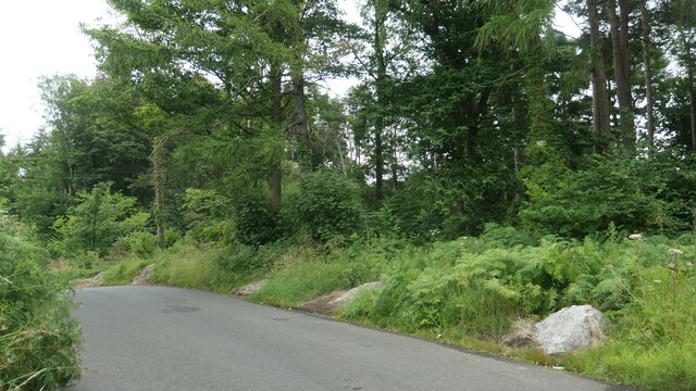
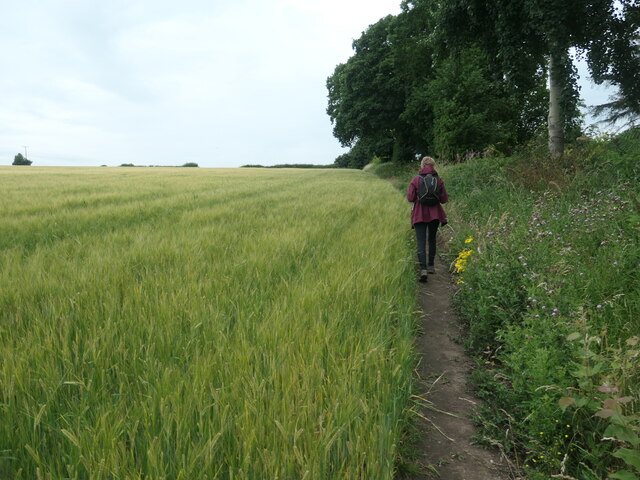
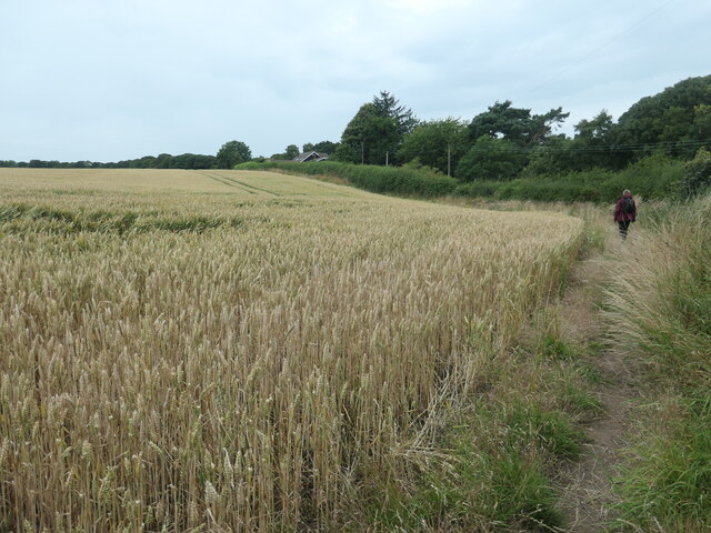
Choppington Wood offers a network of well-maintained footpaths and trails, allowing visitors to explore its enchanting surroundings. The paths wind through the wood, offering glimpses of tranquil ponds, wildflower meadows, and ancient trees. The peaceful atmosphere and serene surroundings make it a popular spot for nature enthusiasts, birdwatchers, and families seeking a tranquil escape from the hustle and bustle of daily life.

The wood is managed by the Forestry Commission, which ensures the conservation and preservation of its natural habitats. There are also designated picnic areas and seating spots throughout the wood, providing visitors with a chance to relax and admire the stunning views.

Overall, Choppington Wood is a haven of natural beauty and a place where visitors can immerse themselves in the tranquility of a Northumberland woodland.

If you have any feedback on the listing, please let us know in the comments section below.

Choppington Wood Images

Images are sourced within 2km of 55.163284/-1.6177871 or Grid Reference NZ2485. Thanks to Geograph Open Source API. All images are credited.
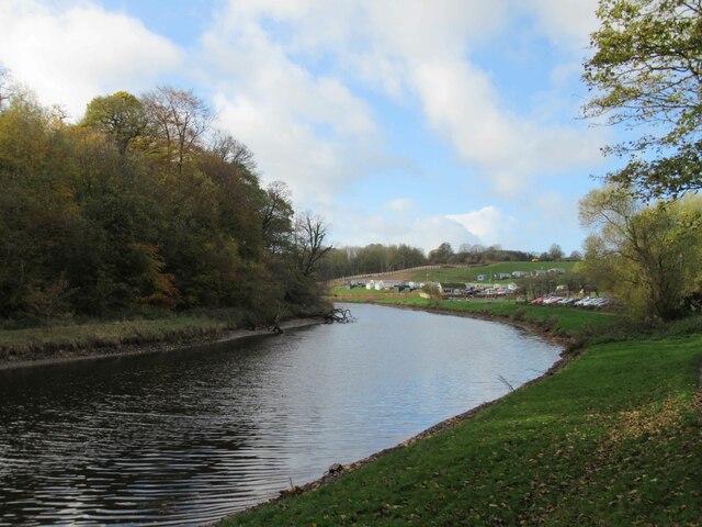
Arable farmland, Bothal Bothal Castle in the background.
Arable farmland, Bothal
Bothal Castle in the background.
Road to Bothal
Road to Bothal
Farmland, Bothal
Farmland, Bothal
Grassland south of Bothal Above the deeply cut down course of the Wansbeck.
Grassland south of Bothal
Above the deeply cut down course of the Wansbeck.
Hepscott to Bothal road
Road liable to subsidence A legacy of mining.
Road liable to subsidence
A legacy of mining.
Field edge footpath On a well used footpath beside a burgeoning crop.
Field edge footpath
On a well used footpath beside a burgeoning crop.
Road bridge over the River Wansbeck near Morpeth A one lane single carriageway 1970s vintage bridge. Not the nicest. Functional.
Road bridge over the River Wansbeck near Morpeth
A one lane single carriageway 1970s vintage bridge. Not the nicest. Functional.
River Wansbeck Country Park Caravan site and cafe beyond car park.
River Wansbeck Country Park
Caravan site and cafe beyond car park.
Rocky bed of the River Wansbeck In Chapel Wood, between Morpeth and Bothal.
Rocky bed of the River Wansbeck
In Chapel Wood, between Morpeth and Bothal.
Mill race intake, River Wansbeck, Bothal The dry channel to the right of the masonry is the start of the mill stream that fed Bothal Mill. A lease for the mill exists from 1807, but it fell out of use between 1898 and 1921. The weir which kept the water level high enough to feed the mill stream was destroyed more recently.
Mill race intake, River Wansbeck, Bothal
The dry channel to the right of the masonry is the start of the mill stream that fed Bothal Mill. A lease for the mill exists from 1807, but it fell out of use between 1898 and 1921. The weir which kept the water level high enough to feed the mill stream was destroyed more recently.
Ruin at Bothal Mill An ancillary building, not the mill itself. Built between 1859 and 1898, according to the large-scale OS maps.
Ruin at Bothal Mill
An ancillary building, not the mill itself. Built between 1859 and 1898, according to the large-scale OS maps.
Public footpath at Bothal Mill The stone structure is part of Bothal Mill - a disused water-powered corn mill.
Public footpath at Bothal Mill
The stone structure is part of Bothal Mill - a disused water-powered corn mill.
River Wansbeck, from Bothal Mill bridge Looking upstream [locally west]. In the distance is the ruined weir that once fed Bothal Mill's mill stream.
River Wansbeck, from Bothal Mill bridge
Looking upstream [locally west]. In the distance is the ruined weir that once fed Bothal Mill's mill stream.
Piles of salt on the steep road up Northstead Banks Ready for icy roads in the next hard winter,
Piles of salt on the steep road up Northstead Banks
Ready for icy roads in the next hard winter,
Public footpath in a barley field, Northstead Banks The path has been moved from its mapped location along the parallel private road
Public footpath in a barley field, Northstead Banks
The path has been moved from its mapped location along the parallel private road
Wheatfield above Northstead Banks The public footpath has been moved from the parallel private road.
Wheatfield above Northstead Banks
The public footpath has been moved from the parallel private road.
Wheat flattened by the wind Near Shadfen Farm, on the south side of the River Wansbeck.
Wheat flattened by the wind
Near Shadfen Farm, on the south side of the River Wansbeck.
Show me another place!

Choppington Wood is located at Grid Ref: NZ2485 (Lat: 55.163284, Lng: -1.6177871)

Unitary Authority: Northumberland

Police Authority: Northumbria

What 3 Words

///armrests.material.built. Near Choppington, Northumberland

Related Wikis

Guide Post

Guide Post is a village in South East Northumberland, England, about 17 miles (27 km) north of Newcastle upon Tyne. It lies south of the River Wansbeck...

Sheepwash, Northumberland

Sheepwash is a village and former civil parish, now in the parish of Ashington, in the county of Northumberland, England. It is adjacent to Stakeford and...

Northumberland Coalfield

The Northumberland Coalfield is a coalfield in north-east England. It is continuous with the Durham Coalfield to its south. It extends from Shilbottle...

Bothal

Bothal is a village in Northumberland, in England. It is situated between Morpeth and Ashington. There is a castle, a church, a vicarage opposite the church...

Nearby Amenities

Located within 500m of 55.163284,-1.6177871
Noexit: yes
Lat/Long: 55.1608016/-1.6120662
Noexit: yes
Lat/Long: 55.1604709/-1.6121691
Power: pole
Lat/Long: 55.163014/-1.6114443
Power: pole
Lat/Long: 55.1653757/-1.6109425
Power: pole
Lat/Long: 55.1652064/-1.6106922
Power: pole
Lat/Long: 55.1629451/-1.6117679
Power: pole
Lat/Long: 55.1638723/-1.6111166
Power: pole
Lat/Long: 55.1640492/-1.611361
Power: pole
Lat/Long: 55.1642458/-1.6240259
Power: pole
Lat/Long: 55.163492/-1.623742
Power: pole
Lat/Long: 55.1627491/-1.6235102
Power: pole
Lat/Long: 55.1620569/-1.6233311
Power: pole
Lat/Long: 55.1612866/-1.6230987
Power: pole
Lat/Long: 55.1607913/-1.6219526
Power: pole
Lat/Long: 55.1602805/-1.6208005
Bus Stop
Guide Post, Johnson's Villas east bound
Naptan AtcoCode: 3100Z240853
Naptan Bearing: E
Naptan NaptanCode: nldagmpa
Lat/Long: 55.1609963/-1.6242482
Bus Stop
Guide Post, Johnson's Villas west bound
Naptan AtcoCode: 3100Z240852
Naptan Bearing: W
Naptan NaptanCode: nldgdjwj
Lat/Long: 55.1608944/-1.6244131
Power: pole
Lat/Long: 55.1598495/-1.6127726
Power: pole
Lat/Long: 55.1620556/-1.6117573
Power: pole
Lat/Long: 55.1620722/-1.6120512
Power: pole
Lat/Long: 55.1647043/-1.6250019
The data included in this document is from www.openstreetmap.org. The data is made available under ODbL.

Have you been to Choppington Wood?

Leave your review of Choppington Wood below (or comments, questions and feedback).