Long Stream

Lake, Pool, Pond, Freshwater Marsh in Northumberland

England

Long Stream

Pegswood Cemetery
Pegswood Cemetery Credit: Richard Webb

Long Stream is a picturesque body of water situated in the county of Northumberland, England. This stunning water feature can be classified as a lake, pool, pond, and freshwater marsh, due to its unique characteristics and abundant biodiversity.

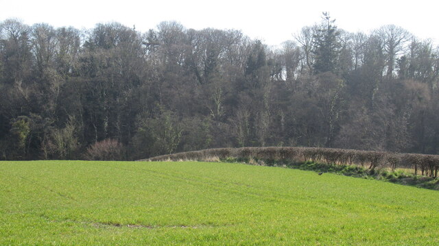
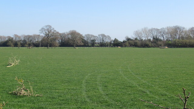
Spanning approximately 2 hectares, Long Stream is nestled within a serene natural setting, surrounded by lush greenery and diverse wildlife. The water is known for its crystal-clear quality, providing a captivating reflection of the surrounding landscape.

The lake's depth varies throughout its expanse, with some areas reaching depths of up to 5 meters. This fluctuation in depth creates a dynamic habitat for a wide range of aquatic plants and animals. The lake boasts a prolific population of fish, including pike, perch, and roach, attracting fishing enthusiasts from near and far.

Long Stream is also a haven for several species of waterfowl, such as mallards, tufted ducks, and herons, which can often be observed gracefully gliding across its surface or perched along its banks. The abundance of reeds and water lilies provides ideal nesting sites and shelter for these avian residents.

The surrounding freshwater marshes add to the ecological value of Long Stream, supporting a diverse array of plant life, including bulrushes, sedges, and various species of grasses. This marshland provides a vital habitat for numerous amphibians, such as frogs and newts, as well as insects like dragonflies and damselflies.

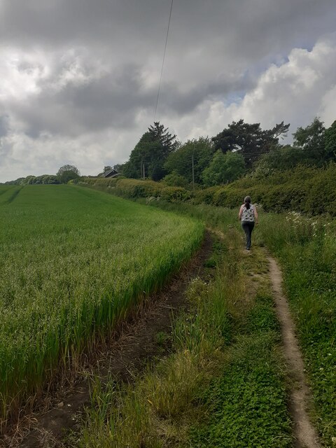
Long Stream, with its scenic beauty and rich biodiversity, offers visitors a tranquil retreat and an opportunity to appreciate the wonders of nature. Whether it be fishing, birdwatching, or simply enjoying the serene ambiance, Long Stream is a true gem of Northumberland's natural landscape.

If you have any feedback on the listing, please let us know in the comments section below.
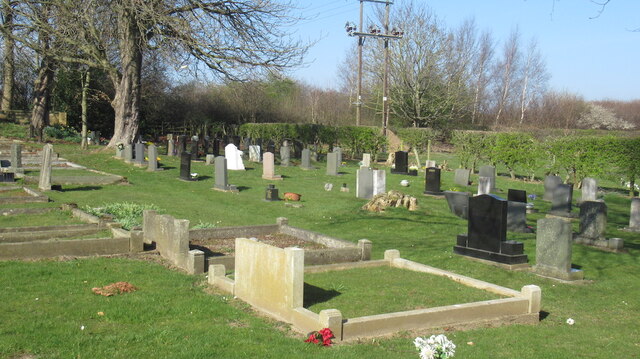
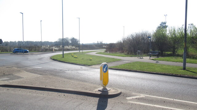
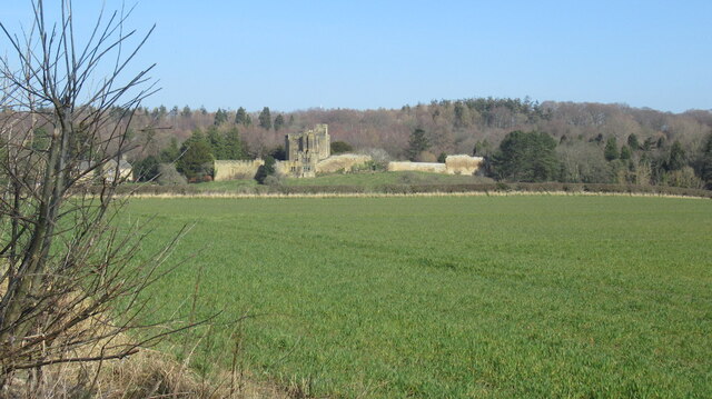
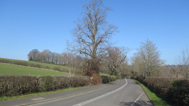
Long Stream Images

Images are sourced within 2km of 55.167355/-1.6151424 or Grid Reference NZ2485. Thanks to Geograph Open Source API. All images are credited.
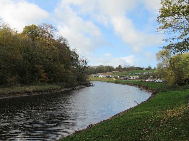
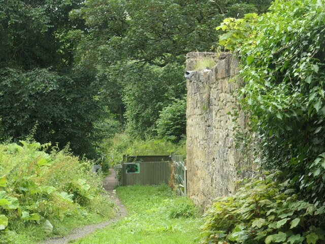
Pegswood Cemetery
Pegswood Cemetery
A197, Pegswood bypass
Robin of Pegswood Fire by Tom Maley.  A sculpture of a miner which looks like an archer from other angles, hence the nickname.
Robin of Pegswood
Fire by Tom Maley. A sculpture of a miner which looks like an archer from other angles, hence the nickname.
Arable farmland, Bothal Bothal Castle in the background.
Arable farmland, Bothal
Bothal Castle in the background.
Road to Bothal
Road to Bothal
Farmland, Bothal
Farmland, Bothal
Grassland south of Bothal Above the deeply cut down course of the Wansbeck.
Grassland south of Bothal
Above the deeply cut down course of the Wansbeck.
Hepscott to Bothal road
Field edge footpath On a well used footpath beside a burgeoning crop.
Field edge footpath
On a well used footpath beside a burgeoning crop.
Road bridge over the River Wansbeck near Morpeth A one lane single carriageway 1970s vintage bridge. Not the nicest. Functional.
Road bridge over the River Wansbeck near Morpeth
A one lane single carriageway 1970s vintage bridge. Not the nicest. Functional.
River Wansbeck Country Park Caravan site and cafe beyond car park.
River Wansbeck Country Park
Caravan site and cafe beyond car park.
Mill race intake, River Wansbeck, Bothal The dry channel to the right of the masonry is the start of the mill stream that fed Bothal Mill. A lease for the mill exists from 1807, but it fell out of use between 1898 and 1921. The weir which kept the water level high enough to feed the mill stream was destroyed more recently.
Mill race intake, River Wansbeck, Bothal
The dry channel to the right of the masonry is the start of the mill stream that fed Bothal Mill. A lease for the mill exists from 1807, but it fell out of use between 1898 and 1921. The weir which kept the water level high enough to feed the mill stream was destroyed more recently.
Ruin at Bothal Mill An ancillary building, not the mill itself. Built between 1859 and 1898, according to the large-scale OS maps.
Ruin at Bothal Mill
An ancillary building, not the mill itself. Built between 1859 and 1898, according to the large-scale OS maps.
Public footpath at Bothal Mill The stone structure is part of Bothal Mill - a disused water-powered corn mill.
Public footpath at Bothal Mill
The stone structure is part of Bothal Mill - a disused water-powered corn mill.
River Wansbeck, from Bothal Mill bridge Looking upstream [locally west]. In the distance is the ruined weir that once fed Bothal Mill's mill stream.
River Wansbeck, from Bothal Mill bridge
Looking upstream [locally west]. In the distance is the ruined weir that once fed Bothal Mill's mill stream.
Piles of salt on the steep road up Northstead Banks Ready for icy roads in the next hard winter,
Piles of salt on the steep road up Northstead Banks
Ready for icy roads in the next hard winter,
Public footpath in a barley field, Northstead Banks The path has been moved from its mapped location along the parallel private road
Public footpath in a barley field, Northstead Banks
The path has been moved from its mapped location along the parallel private road
Wheatfield above Northstead Banks The public footpath has been moved from the parallel private road.
Wheatfield above Northstead Banks
The public footpath has been moved from the parallel private road.
Show me another place!

Long Stream is located at Grid Ref: NZ2485 (Lat: 55.167355, Lng: -1.6151424)

Unitary Authority: Northumberland

Police Authority: Northumbria

What 3 Words

///drawn.fizzy.sober. Near Choppington, Northumberland

Related Wikis

Bothal

Bothal is a village in Northumberland, in England. It is situated between Morpeth and Ashington. There is a castle, a church, a vicarage opposite the church...

Bothal Castle

Bothal Castle is a castle and stately home in the village of the same name near the River Wansbeck, between Morpeth and Ashington in the English county...

Sheepwash, Northumberland

Sheepwash is a village and former civil parish, now in the parish of Ashington, in the county of Northumberland, England. It is adjacent to Stakeford and...

Guide Post

Guide Post is a village in South East Northumberland, England, about 17 miles (27 km) north of Newcastle upon Tyne. It lies south of the River Wansbeck...

Nearby Amenities

Located within 500m of 55.167355,-1.6151424
Power: pole
Lat/Long: 55.1653757/-1.6109425
Power: pole
Lat/Long: 55.1700811/-1.6089598
Power: pole
Lat/Long: 55.1652064/-1.6106922
Power: pole
Lat/Long: 55.1700721/-1.6090524
Power: pole
Lat/Long: 55.1665624/-1.6104189
Power: pole
Lat/Long: 55.1678797/-1.6098739
Power: pole
Lat/Long: 55.1678336/-1.609581
Power: pole
Lat/Long: 55.1689016/-1.6091428
Power: pole
Lat/Long: 55.1687946/-1.6094895
Power: pole
Lat/Long: 55.1638723/-1.6111166
Power: pole
Lat/Long: 55.1640492/-1.611361
Power: pole
Lat/Long: 55.1665375/-1.6101225
The data included in this document is from www.openstreetmap.org. The data is made available under ODbL.

Have you been to Long Stream?

Leave your review of Long Stream below (or comments, questions and feedback).