West Wood

Wood, Forest in Northumberland

England

West Wood

Pegswood Station
Pegswood Station Credit: Chris Morgan

West Wood is a picturesque forest located in Northumberland, England. It is situated in the western part of the county, near the border with Scotland. This woodland covers a vast area of approximately 500 acres and is known for its diverse range of flora and fauna.

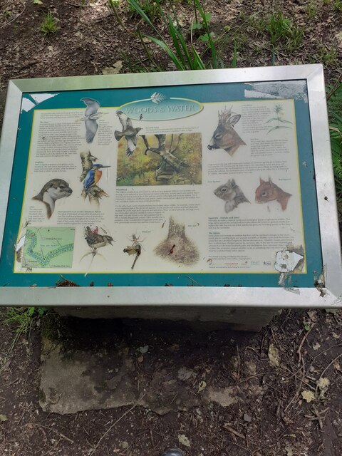
The forest is primarily composed of deciduous trees, including oak, beech, and ash, which create a stunning canopy in the summer months. These trees provide a habitat for a variety of wildlife, such as deer, squirrels, and numerous bird species. It is not uncommon to spot rare and endangered species within the wood, making it a popular destination for nature enthusiasts and wildlife photographers.

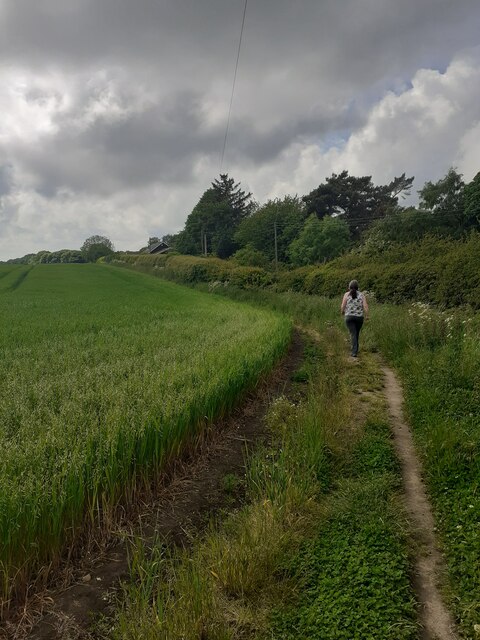
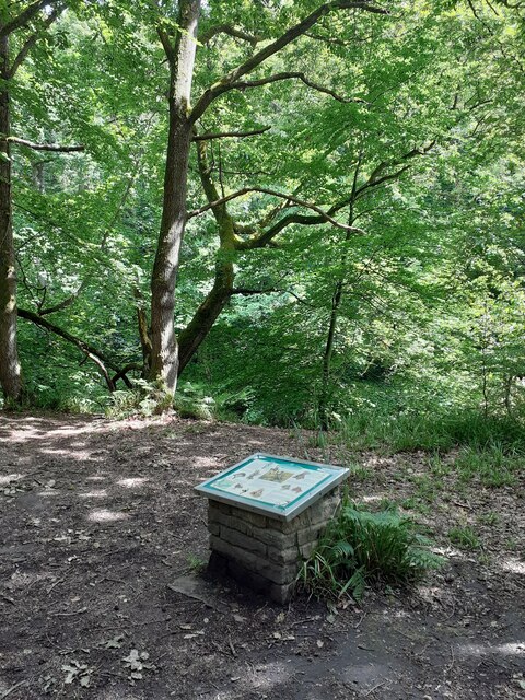
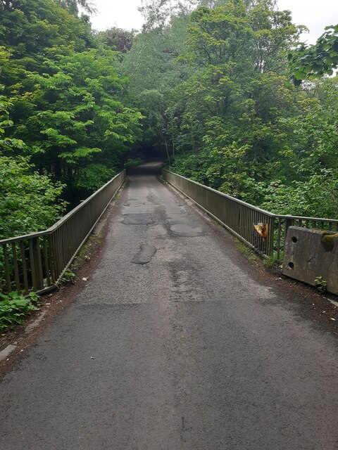
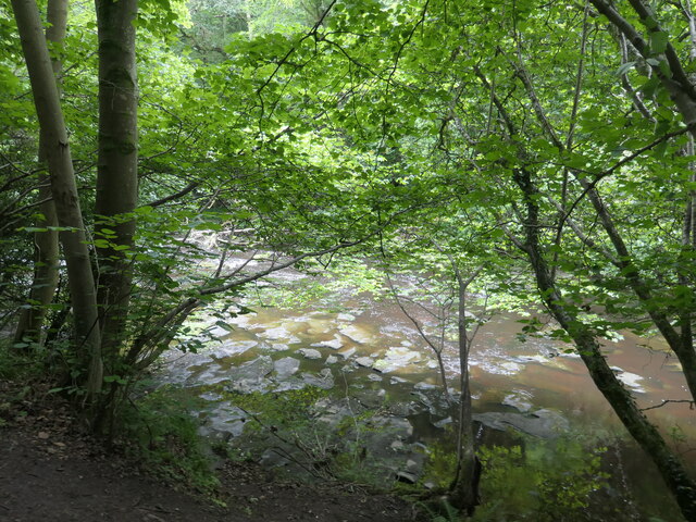
Walking trails and footpaths crisscross the forest, allowing visitors to explore its natural beauty. The paths are well-maintained and offer breathtaking views of the surrounding landscape, including rolling hills and meandering streams. There are also picnic areas and benches scattered throughout the wood, providing a perfect spot to relax and enjoy the peaceful atmosphere.

West Wood is a designated Site of Special Scientific Interest (SSSI) due to its ecological significance. Its ancient woodland status means it has remained largely undisturbed for centuries, preserving its unique biodiversity. The forest is also actively managed by local authorities to maintain its natural balance and protect its delicate ecosystem.

Whether it's a leisurely stroll, wildlife spotting, or simply immersing oneself in nature, West Wood offers a tranquil escape from the hustle and bustle of everyday life. It is a place where visitors can connect with nature and appreciate the beauty of Northumberland's woodland.

If you have any feedback on the listing, please let us know in the comments section below.
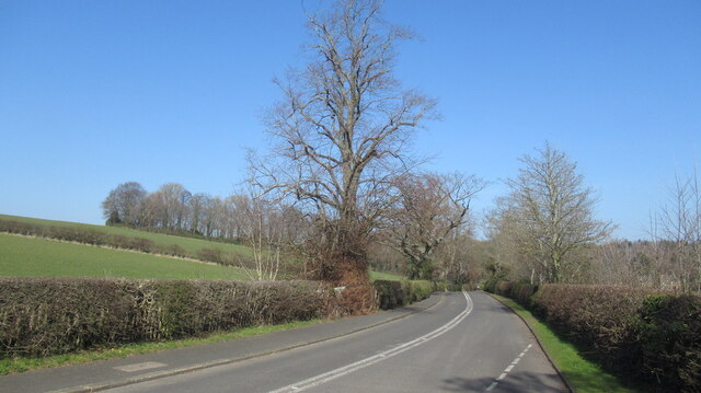
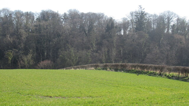
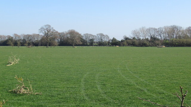
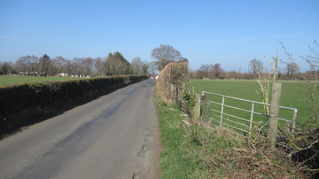
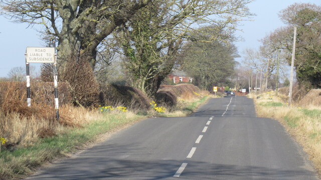
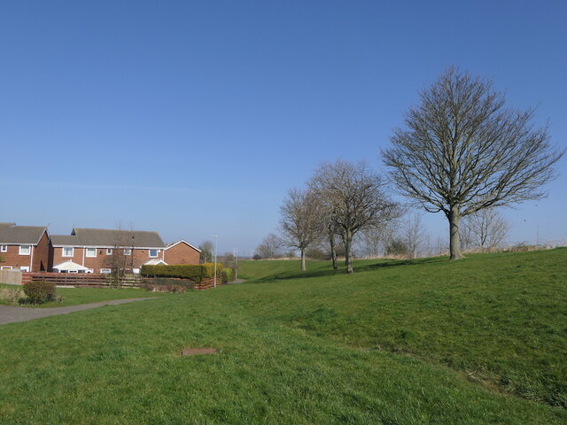
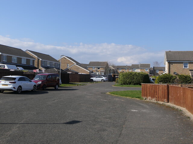
West Wood Images

Images are sourced within 2km of 55.168877/-1.6277178 or Grid Reference NZ2386. Thanks to Geograph Open Source API. All images are credited.

Pegswood Station
Pegswood Station
Pegswood Cemetery
Pegswood Cemetery
A197, Pegswood bypass
Robin of Pegswood Fire by Tom Maley.  A sculpture of a miner which looks like an archer from other angles, hence the nickname.
Robin of Pegswood
Fire by Tom Maley. A sculpture of a miner which looks like an archer from other angles, hence the nickname.
Arable farmland, Bothal Bothal Castle in the background.
Arable farmland, Bothal
Bothal Castle in the background.
Road to Bothal
Road to Bothal
Farmland, Bothal
Farmland, Bothal
Grassland south of Bothal Above the deeply cut down course of the Wansbeck.
Grassland south of Bothal
Above the deeply cut down course of the Wansbeck.
Hepscott to Bothal road
Road liable to subsidence A legacy of mining.
Road liable to subsidence
A legacy of mining.
Site of Pegswood Colliery The pithead was here, now a grassy informal space beside the railway. Modern houses have been built where the colliery and rows once stood.
Site of Pegswood Colliery
The pithead was here, now a grassy informal space beside the railway. Modern houses have been built where the colliery and rows once stood.
Belsay Close, Pegswood The site of Pegswood Colliery.
Belsay Close, Pegswood
The site of Pegswood Colliery.
Field edge footpath On a well used footpath beside a burgeoning crop.
Field edge footpath
On a well used footpath beside a burgeoning crop.
Information board at a picnic site in the woods Great spot to stop for a brew, some scoff and a little education.
Information board at a picnic site in the woods
Great spot to stop for a brew, some scoff and a little education.
Information board in Chapel Wood near Morpeth We did not spot any Otters, despite a careful and cautious approach, but we did see a dead deer, which is a shame as I would always prefer to spot a live one.
Information board in Chapel Wood near Morpeth
We did not spot any Otters, despite a careful and cautious approach, but we did see a dead deer, which is a shame as I would always prefer to spot a live one.
Road bridge over the River Wansbeck near Morpeth A one lane single carriageway 1970s vintage bridge. Not the nicest. Functional.
Road bridge over the River Wansbeck near Morpeth
A one lane single carriageway 1970s vintage bridge. Not the nicest. Functional.
Fallen tree below the rapids, River Wansbeck In Chapel Wood. Seen from the footpath on the north bank.
Fallen tree below the rapids, River Wansbeck
In Chapel Wood. Seen from the footpath on the north bank.
Rocky bed of the River Wansbeck In Chapel Wood, between Morpeth and Bothal.
Rocky bed of the River Wansbeck
In Chapel Wood, between Morpeth and Bothal.
Show me another place!

West Wood is located at Grid Ref: NZ2386 (Lat: 55.168877, Lng: -1.6277178)

Unitary Authority: Northumberland

Police Authority: Northumbria

What 3 Words

///cycles.hamsters.mimed. Near Pegswood, Northumberland

Related Wikis

Bothal

Bothal is a village in Northumberland, in England. It is situated between Morpeth and Ashington. There is a castle, a church, a vicarage opposite the church...
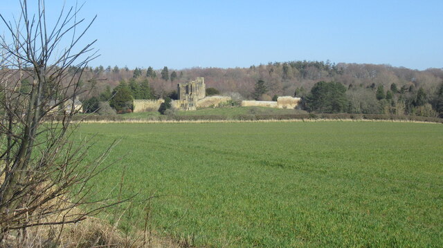
Bothal Castle

Bothal Castle is a castle and stately home in the village of the same name near the River Wansbeck, between Morpeth and Ashington in the English county...

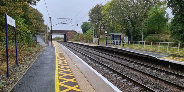
Pegswood railway station

Pegswood is a railway station on the East Coast Main Line, which runs between London King's Cross and Edinburgh Waverley. The station, situated 18 miles...

Pegswood

Pegswood is a historic mining village and civil parish in Northumberland, England, and the site of the former Pegswood Colliery. Pegswood is two miles...

Nearby Amenities

Located within 500m of 55.168877,-1.6277178
Power: pole
Lat/Long: 55.1647043/-1.6250019
Power: pole
Lat/Long: 55.1651823/-1.6260491
Power: pole
Lat/Long: 55.165447/-1.6266137
Power: pole
Lat/Long: 55.1655203/-1.6279858
Power: pole
Lat/Long: 55.1655768/-1.6294634
Power: pole
Lat/Long: 55.1655891/-1.6306072
Power: pole
Lat/Long: 55.1656125/-1.6317634
Power: pole
Lat/Long: 55.166173/-1.6325425
Power: pole
Lat/Long: 55.1667546/-1.6333494
Power: pole
Lat/Long: 55.1672924/-1.6340468
Power: pole
Lat/Long: 55.1677834/-1.634748
Ford: stepping_stones
Lat/Long: 55.1718305/-1.623952
The data included in this document is from www.openstreetmap.org. The data is made available under ODbL.

Have you been to West Wood?

Leave your review of West Wood below (or comments, questions and feedback).