Bothal

Settlement in Northumberland

England

Bothal

Pegswood Station
Pegswood Station Credit: Chris Morgan

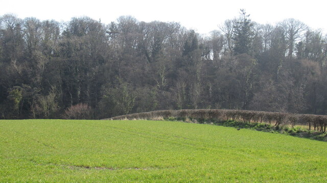
Bothal is a small village located in the county of Northumberland, England. Situated approximately 3 miles north-west of the town of Ashington, Bothal offers a picturesque and tranquil setting amidst the stunning Northumbrian countryside.

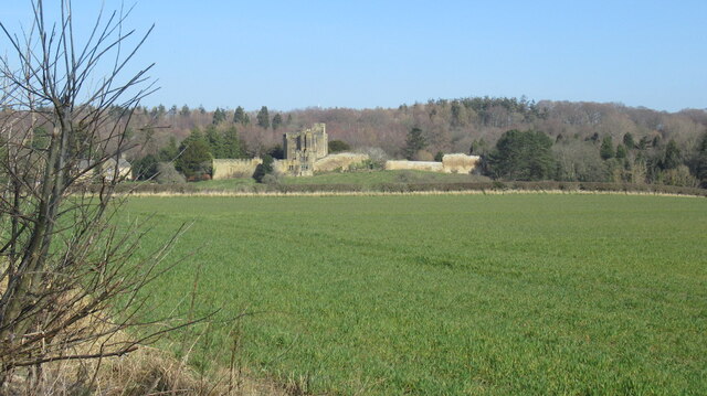
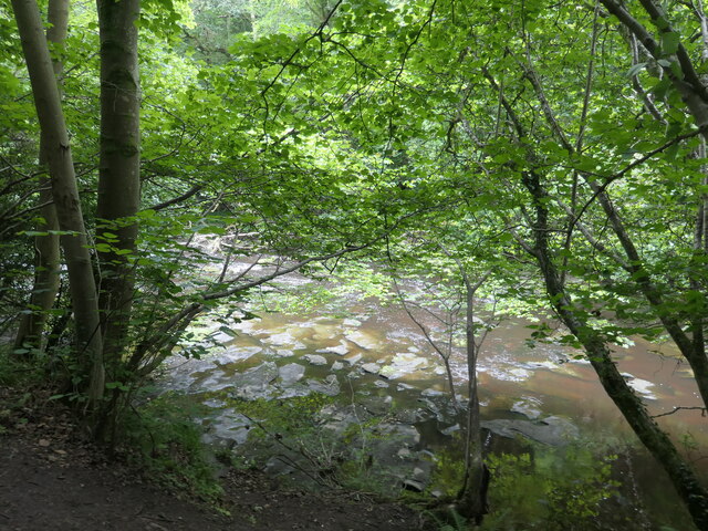
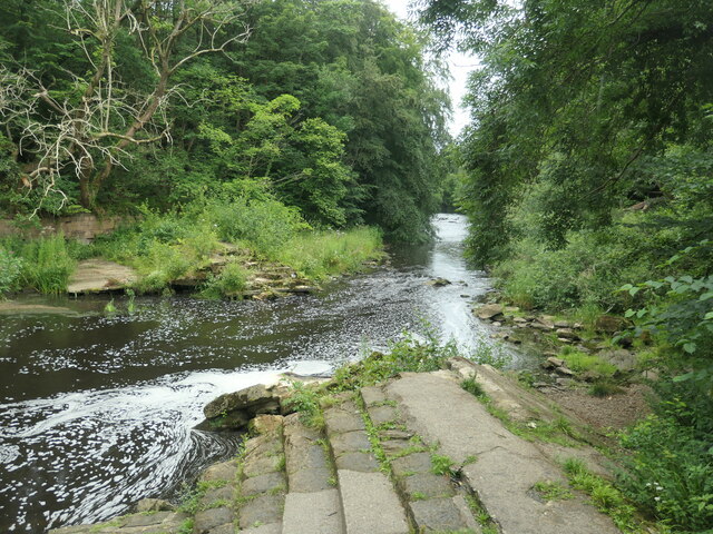
The village is best known for its historic Bothal Castle, a Grade I listed building that dates back to the 14th century. This medieval fortress stands proudly on a hill overlooking the River Wansbeck, offering visitors a glimpse into Northumberland's rich history. The castle is surrounded by beautifully maintained gardens, which provide a serene space for a leisurely stroll.

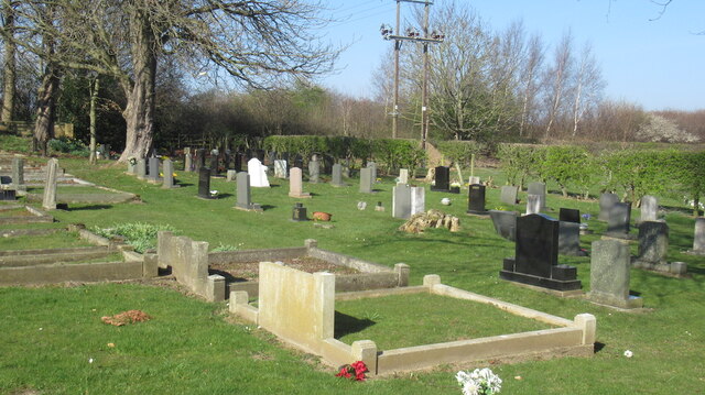
Bothal boasts a close-knit community and a range of amenities to cater to local residents. The village has a primary school, a village hall, and a charming parish church, St. Andrew's, which adds to the village's character. Bothal is also home to a popular pub, The Anglers Arms, where locals and visitors can enjoy a traditional pub atmosphere and sample local food and drinks.

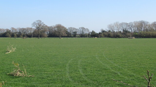
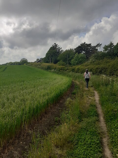
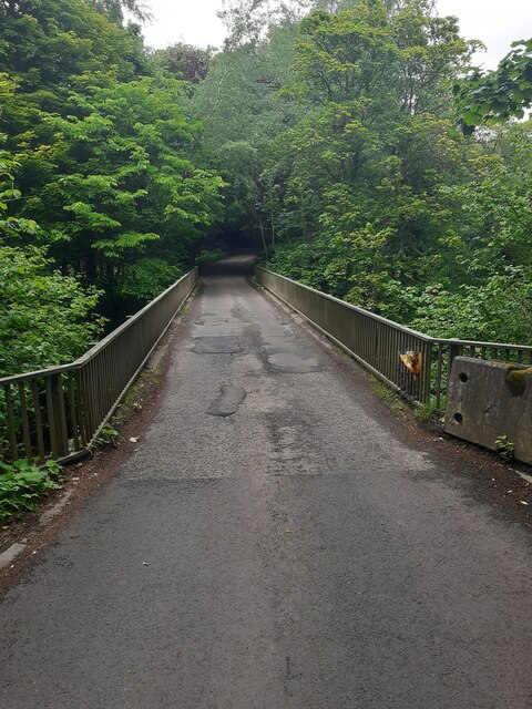
For nature enthusiasts, Bothal is ideally located near the Wansbeck Riverside Park, a scenic spot for walking, picnicking, and wildlife spotting. The village is also within close proximity to the Northumberland Coast Area of Outstanding Natural Beauty, providing access to stunning beaches and coastal walks.

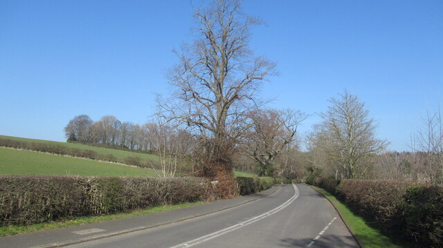
Transport links in Bothal are convenient, with easy access to the A189 road, connecting the village to nearby towns and cities. The nearest railway station is in Morpeth, approximately 5 miles away.

In summary, Bothal offers a charming village setting, steeped in history and surrounded by natural beauty, making it an attractive destination for both residents and visitors seeking a peaceful retreat in Northumberland.

If you have any feedback on the listing, please let us know in the comments section below.
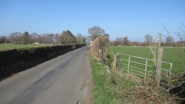
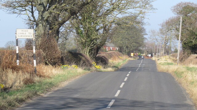
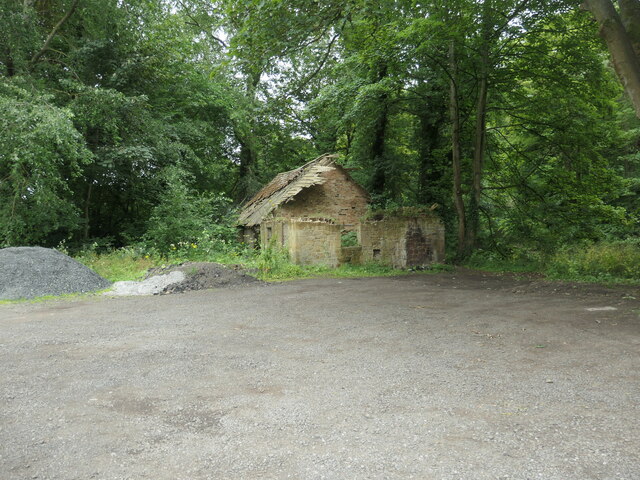
Bothal Images

Images are sourced within 2km of 55.172262/-1.627092 or Grid Reference NZ2386. Thanks to Geograph Open Source API. All images are credited.

Pegswood Station
Pegswood Station
Pegswood Cemetery
Pegswood Cemetery
A197, Pegswood bypass
Robin of Pegswood Fire by Tom Maley.  A sculpture of a miner which looks like an archer from other angles, hence the nickname.
Robin of Pegswood
Fire by Tom Maley. A sculpture of a miner which looks like an archer from other angles, hence the nickname.
Arable farmland, Bothal Bothal Castle in the background.
Arable farmland, Bothal
Bothal Castle in the background.
Road to Bothal
Road to Bothal
Farmland, Bothal
Farmland, Bothal
Grassland south of Bothal Above the deeply cut down course of the Wansbeck.
Grassland south of Bothal
Above the deeply cut down course of the Wansbeck.
Hepscott to Bothal road
Road liable to subsidence A legacy of mining.
Road liable to subsidence
A legacy of mining.
Site of Pegswood Colliery The pithead was here, now a grassy informal space beside the railway. Modern houses have been built where the colliery and rows once stood.
Site of Pegswood Colliery
The pithead was here, now a grassy informal space beside the railway. Modern houses have been built where the colliery and rows once stood.
Belsay Close, Pegswood The site of Pegswood Colliery.
Belsay Close, Pegswood
The site of Pegswood Colliery.
Field edge footpath On a well used footpath beside a burgeoning crop.
Field edge footpath
On a well used footpath beside a burgeoning crop.
Road bridge over the River Wansbeck near Morpeth A one lane single carriageway 1970s vintage bridge. Not the nicest. Functional.
Road bridge over the River Wansbeck near Morpeth
A one lane single carriageway 1970s vintage bridge. Not the nicest. Functional.
Fallen tree below the rapids, River Wansbeck In Chapel Wood. Seen from the footpath on the north bank.
Fallen tree below the rapids, River Wansbeck
In Chapel Wood. Seen from the footpath on the north bank.
Rocky bed of the River Wansbeck In Chapel Wood, between Morpeth and Bothal.
Rocky bed of the River Wansbeck
In Chapel Wood, between Morpeth and Bothal.
Mill race intake, River Wansbeck, Bothal The dry channel to the right of the masonry is the start of the mill stream that fed Bothal Mill. A lease for the mill exists from 1807, but it fell out of use between 1898 and 1921. The weir which kept the water level high enough to feed the mill stream was destroyed more recently.
Mill race intake, River Wansbeck, Bothal
The dry channel to the right of the masonry is the start of the mill stream that fed Bothal Mill. A lease for the mill exists from 1807, but it fell out of use between 1898 and 1921. The weir which kept the water level high enough to feed the mill stream was destroyed more recently.
Ruin at Bothal Mill An ancillary building, not the mill itself. Built between 1859 and 1898, according to the large-scale OS maps.
Ruin at Bothal Mill
An ancillary building, not the mill itself. Built between 1859 and 1898, according to the large-scale OS maps.
Show me another place!

Bothal is located at Grid Ref: NZ2386 (Lat: 55.172262, Lng: -1.627092)

Unitary Authority: Northumberland

Police Authority: Northumbria

What 3 Words

///sharpens.spoke.trimmer. Near Pegswood, Northumberland

Related Wikis

Bothal

Bothal is a village in Northumberland, in England. It is situated between Morpeth and Ashington. There is a castle, a church, a vicarage opposite the church...

Bothal Castle

Bothal Castle is a castle and stately home in the village of the same name near the River Wansbeck, between Morpeth and Ashington in the English county...

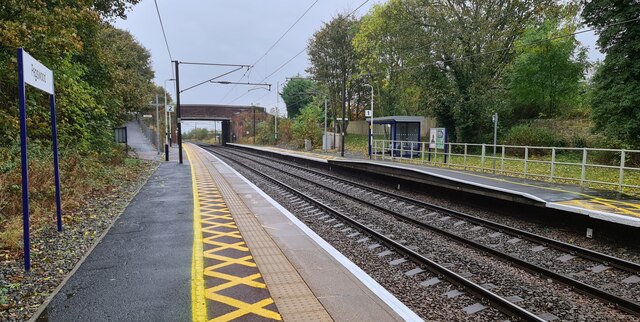
Pegswood railway station

Pegswood is a railway station on the East Coast Main Line, which runs between London King's Cross and Edinburgh Waverley. The station, situated 18 miles...

Pegswood

Pegswood is a historic mining village and civil parish in Northumberland, England, and the site of the former Pegswood Colliery. Pegswood is two miles...

Nearby Amenities

Located within 500m of 55.172262,-1.627092
Bothal
Created By: Potlatch 0.10f
Is In: Castle Morpeth
Place: hamlet
Wikidata: Q4948621
Lat/Long: 55.1736991/-1.6258376
Bothal Banks
Place: locality
Lat/Long: 55.1732462/-1.6216506
Post Box
Collection Times: Mo-Fr 17:00; Sa 08:30
Operator: Royal Mail
Post Box Type: lamp
Ref: NE61 108
Royal Cypher: EIIR
Royal Cypher Wikidata: Q33102113
Source: survey
Lat/Long: 55.1732892/-1.625538
Ford: stepping_stones
Lat/Long: 55.1718305/-1.623952
The data included in this document is from www.openstreetmap.org. The data is made available under ODbL.

Have you been to Bothal?

Leave your review of Bothal below (or comments, questions and feedback).