Booth Wood

Wood, Forest in Yorkshire Harrogate

England

Booth Wood

B6265 at Rose Cottage in mist
B6265 at Rose Cottage in mist Credit: Colin Pyle

Booth Wood is a picturesque woodland located in Yorkshire, England. This natural haven covers an area of approximately 50 hectares and is renowned for its diverse range of flora and fauna. Situated near the village of Holmfirth, Booth Wood offers visitors an opportunity to immerse themselves in the tranquility of nature.

The woodland is primarily composed of broadleaf trees, such as oak, birch, and beech, which create a dense canopy overhead. As one explores the trails that wind through the forest, they will encounter a vibrant array of wildflowers, including bluebells, primroses, and foxgloves, which carpet the forest floor, adding a burst of color to the surroundings.

Booth Wood is home to a variety of wildlife species, making it a popular destination among nature enthusiasts and birdwatchers. Visitors may catch a glimpse of woodland birds like the great spotted woodpecker, tawny owl, and long-tailed tit, as well as small mammals such as foxes, badgers, and squirrels.

The woodland is managed by the Yorkshire Wildlife Trust, ensuring the conservation and preservation of its natural beauty. The trust organizes guided walks and educational programs to promote awareness and appreciation of the woodland's ecological significance.

Booth Wood not only offers a tranquil escape from the hustle and bustle of everyday life, but it also provides a valuable habitat for a wide range of plant and animal species. Its accessibility and natural charm make it a must-visit destination for anyone seeking to reconnect with nature in the heart of Yorkshire.

If you have any feedback on the listing, please let us know in the comments section below.
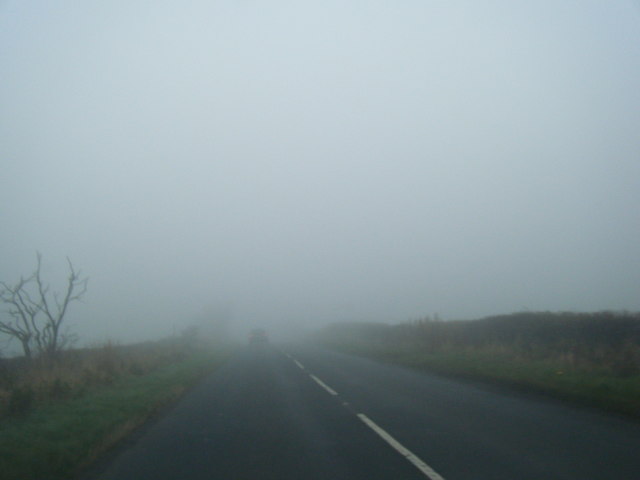
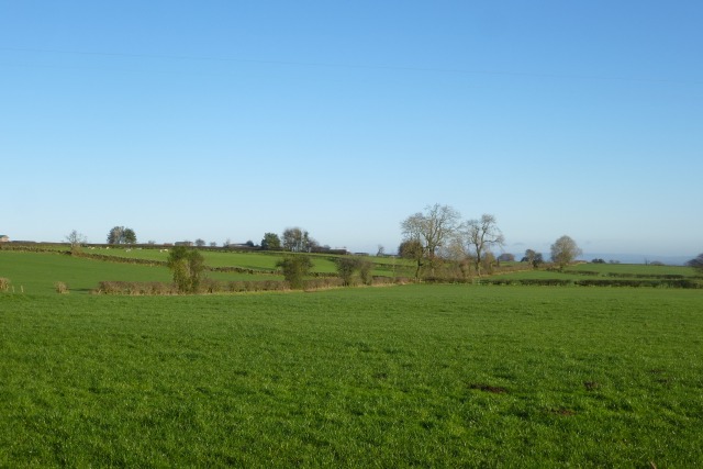
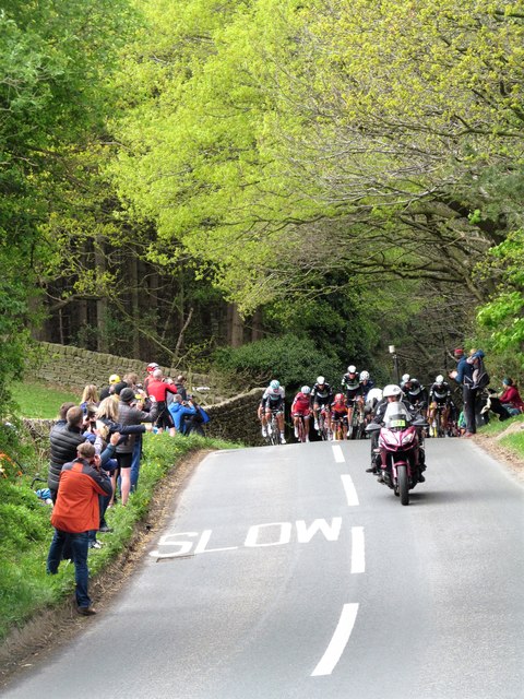
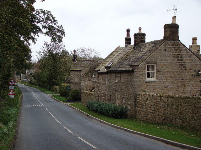
Booth Wood Images

Images are sourced within 2km of 54.092804/-1.6373955 or Grid Reference SE2366. Thanks to Geograph Open Source API. All images are credited.

B6265 at Rose Cottage in mist
B6265 and bush, south of Gowbusk in thickening mist
Farmland off the B6265 Looking across towards Hill Top Farm.
Farmland off the B6265
Looking across towards Hill Top Farm.
Road to Risplith The B6265 from Pateley Bridge descending towards Risplith.
Road to Risplith
The B6265 from Pateley Bridge descending towards Risplith.
Farmland off Sawley Moor Lane Fields between Middle Ridge Farm and Picking Gill.
Farmland off Sawley Moor Lane
Fields between Middle Ridge Farm and Picking Gill.
Looking along Sawley Moor Lane Looking towards the corner with Sawley Moor House.
Looking along Sawley Moor Lane
Looking towards the corner with Sawley Moor House.
Sheep off Sawley Moor Lane Near Sawley Moor House Farm.
Sheep off Sawley Moor Lane
Near Sawley Moor House Farm.
Sawley Moor Lane Near Sawley Moor House.
Sawley Moor Lane
Near Sawley Moor House.
Along Sawley Moor Lane Near Meadow Brook Farm.
Along Sawley Moor Lane
Near Meadow Brook Farm.
Farmland near Moor Lane Farm Viewed from Sawley Moor Lane.
Farmland near Moor Lane Farm
Viewed from Sawley Moor Lane.
Along Sawley Moor Lane Looking along Sawley Moor Lane near Moor Lane Farm.
Along Sawley Moor Lane
Looking along Sawley Moor Lane near Moor Lane Farm.
Towards Sawley Looking along Middycar Bank at the junction with Sawley Moor Lane.
Towards Sawley
Looking along Middycar Bank at the junction with Sawley Moor Lane.
Middycar Bank Looking along the treelined road to Sawley.
Middycar Bank
Looking along the treelined road to Sawley.
Eavestone and B6265: aerial 2016
Eavestone Lake Taken looking southwards along the lake from the dam at its lower end. The lake fills a deep, steep sided valley overlooked by woodland and gritstone crags, the valley having been deepened by glacial meltwaters rushing around the western edge of a decaying Vale of York glacier until a weak point was exploited. Just one of many such valleys on the eastern slopes of the Pennines to the west of Ripon.
Eavestone Lake
Taken looking southwards along the lake from the dam at its lower end. The lake fills a deep, steep sided valley overlooked by woodland and gritstone crags, the valley having been deepened by glacial meltwaters rushing around the western edge of a decaying Vale of York glacier until a weak point was exploited. Just one of many such valleys on the eastern slopes of the Pennines to the west of Ripon.
Gritstone crag above Eavestone Lake Millstone Grit crag with a large mature tree seemingly clinging to the top of it. There are several craggy outcrops along the margins of Eavestone Lake and these show the power of glacial meltwaters which helped to deepen the valley some 15000 years ago.
Gritstone crag above Eavestone Lake
Millstone Grit crag with a large mature tree seemingly clinging to the top of it. There are several craggy outcrops along the margins of Eavestone Lake and these show the power of glacial meltwaters which helped to deepen the valley some 15000 years ago.
Here comes the peloton The final few miles of stage two of the 'Tour de Yorkshire' of 2017 and the peloton has swept up any breakaway riders from earlier in the day. At this point there is still some 10 miles left before the finish in Harrogate and the riders have just ascended a short but steep bank up from Hebden Gill.
Here comes the peloton
The final few miles of stage two of the 'Tour de Yorkshire' of 2017 and the peloton has swept up any breakaway riders from earlier in the day. At this point there is still some 10 miles left before the finish in Harrogate and the riders have just ascended a short but steep bank up from Hebden Gill.
Tour de Yorkshire 2017 The riders in the peloton reach the top of the short but steep Hebden Gill Bank as they race the final 10 miles or so of stage two from Tadcaster to Harrogate. This race, now into its third year, is becoming ever more popular, both with professional teams and with spectators, an estimated 2.2 million watching the race over some of Yorkshire's most testing roads over the three days.
Tour de Yorkshire 2017
The riders in the peloton reach the top of the short but steep Hebden Gill Bank as they race the final 10 miles or so of stage two from Tadcaster to Harrogate. This race, now into its third year, is becoming ever more popular, both with professional teams and with spectators, an estimated 2.2 million watching the race over some of Yorkshire's most testing roads over the three days.
Show me another place!

Booth Wood is located at Grid Ref: SE2366 (Lat: 54.092804, Lng: -1.6373955)

Division: West Riding

Administrative County: North Yorkshire

District: Harrogate

Police Authority: North Yorkshire

What 3 Words

///climbing.info.splinters. Near Pateley Bridge, North Yorkshire

Nearby Locations

Low Fish Pond Booth Wood

Related Wikis

Warsill

Warsill is a settlement and civil parish in the Harrogate district, in the county of North Yorkshire, England. It consists of a few scattered farms 5 miles...

Sawley, North Yorkshire

Sawley is a village and civil parish in the Harrogate district of North Yorkshire, England. It is about 4 miles (6.4 km) west of Ripon. From this position...

Eavestone

Eavestone is a hamlet and civil parish in the Harrogate district of North Yorkshire, England. It is situated near Brimham Rocks, 3 miles (4.8 km) east...

Risplith

Risplith is a village in the civil parish of Sawley, in the Harrogate district of North Yorkshire, England. It is about 4 miles (6.4 km) west of Ripon...

Have you been to Booth Wood?

Leave your review of Booth Wood below (or comments, questions and feedback).